Hooton Thorn Covert

Wood, Forest in Yorkshire

England

Hooton Thorn Covert

Two off licences on Barnsley Road, Moorthorpe
Two off licences on Barnsley Road, Moorthorpe Credit: Neil Theasby

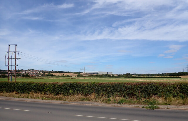
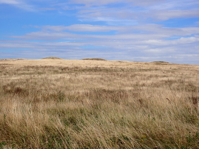
Hooton Thorn Covert is a picturesque woodland located in the countryside of Yorkshire, England. Covering an area of approximately 100 acres, this enchanting forest is a haven for nature lovers and outdoor enthusiasts. The woodland is primarily made up of deciduous trees, including oak, birch, and beech, which create a vibrant and ever-changing landscape throughout the seasons.

The forest is home to a diverse array of wildlife, making it a popular spot for birdwatching and wildlife spotting. Visitors may have the chance to see species such as great spotted woodpeckers, tawny owls, and red foxes. The tranquil atmosphere and abundance of flora and fauna make Hooton Thorn Covert an ideal location for a peaceful stroll or a picnic amidst nature.

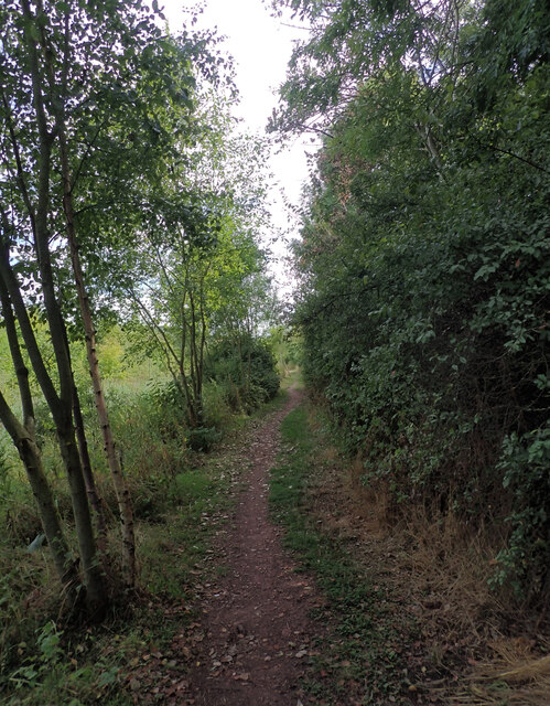
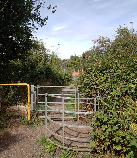
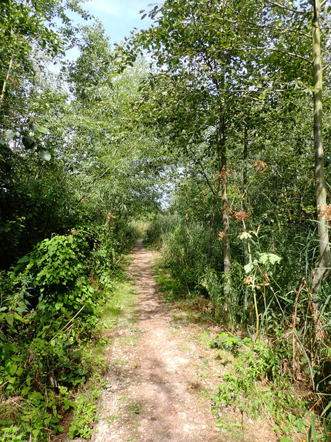
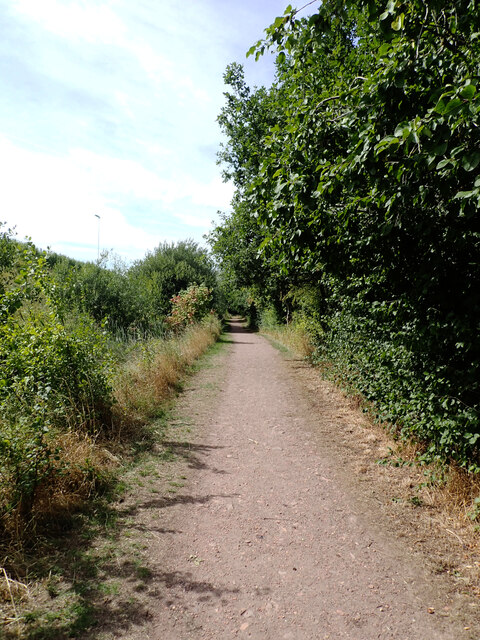
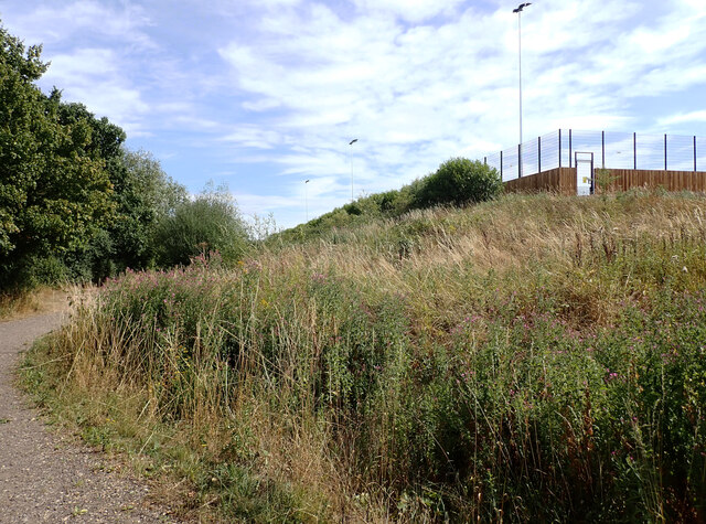
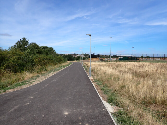
Trails and pathways wind their way through the woodland, providing visitors with the opportunity to explore its beauty and discover hidden gems along the way. From ancient trees to wildflowers, the forest offers a sensory experience, with the sounds of birdsong and the scent of earth and foliage filling the air.

Hooton Thorn Covert is not only a natural sanctuary but also a place of historical significance. The woodland has been part of the local landscape for centuries and has witnessed the passage of time. It has served as a source of timber, a hunting ground, and a place of solace for generations.

Whether seeking solace in nature, immersing oneself in the beauty of the forest, or simply enjoying a peaceful walk, Hooton Thorn Covert in Yorkshire is a destination that offers a unique and unforgettable experience for all who visit.

If you have any feedback on the listing, please let us know in the comments section below.

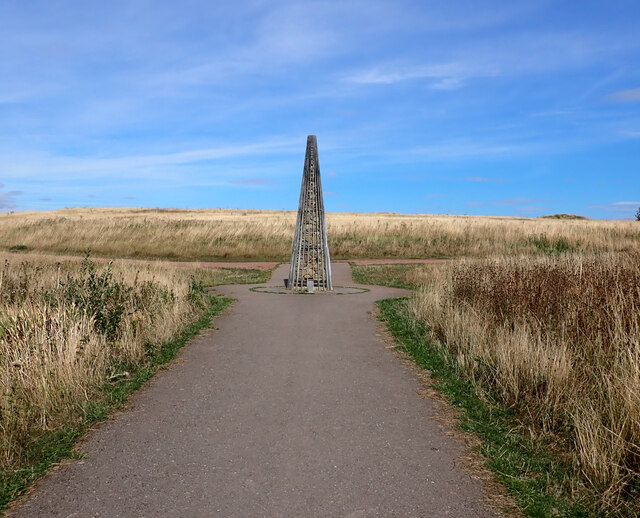
Hooton Thorn Covert Images

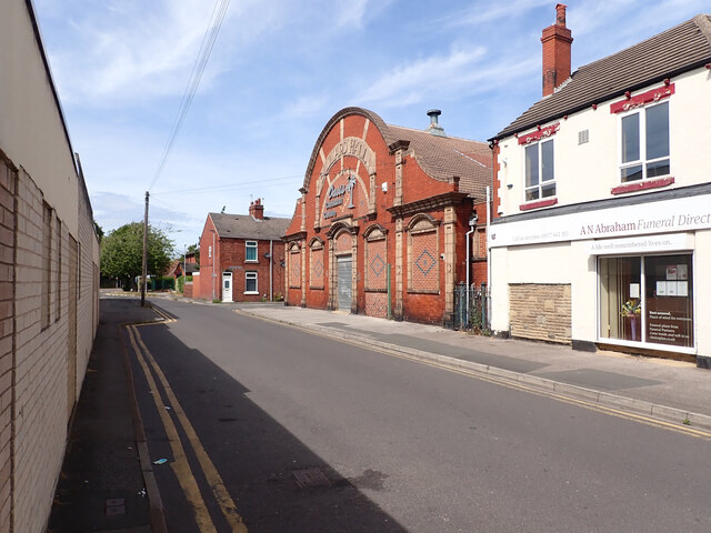
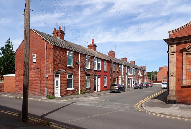
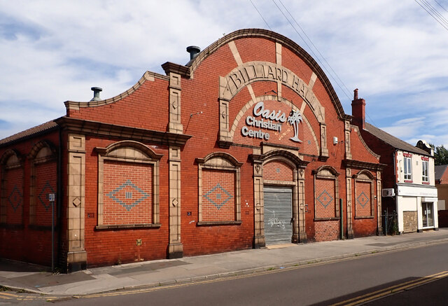
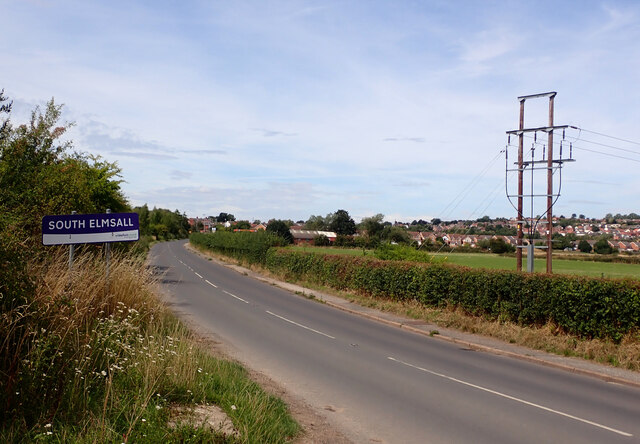
Images are sourced within 2km of 53.57888/-1.2868605 or Grid Reference SE4709. Thanks to Geograph Open Source API. All images are credited.

Two off licences on Barnsley Road, Moorthorpe
Burton Street, Moorthorpe
Exchange Street, South Elmsall The large building is a former billiard hall now used as a church.
Exchange Street, South Elmsall
The large building is a former billiard hall now used as a church.
Exchange Street, South Elmsall The large building is a former billiard hall now used as a church.
Exchange Street, South Elmsall
The large building is a former billiard hall now used as a church.
Exchange Street, South Elmsall
Former billiard hall now used as a church, Exchange Street, South Elmsall
Doncaster boundary on Elmsall Lane (B6422), Doncaster
South Elmsall boundary, Doncaster Road (B6422), South Elmsall
A view from Doncaster Road (B6422) near Frickley Country Park car park, South Elmsall
Path, Frickley Country Park Frickley Country Park lies to the south of South Elmsall and is bordered to the south by Frickley Beck. It was developed on the site of Frickley Colliery after the pit shut in 1993. It has many landscaped features that fit in with the industrial past of the site as well as being important local nature reserve.
Path, Frickley Country Park
Frickley Country Park lies to the south of South Elmsall and is bordered to the south by Frickley Beck. It was developed on the site of Frickley Colliery after the pit shut in 1993. It has many landscaped features that fit in with the industrial past of the site as well as being important local nature reserve.
Doncaster Road entrance, Frickley Country Park Frickley Country Park lies to the south of South Elmsall and is bordered to the south by Frickley Beck. It was developed on the site of Frickley Colliery after the pit shut in 1993. It has many landscaped features that fit in with the industrial past of the site as well as being important local nature reserve.
Doncaster Road entrance, Frickley Country Park
Frickley Country Park lies to the south of South Elmsall and is bordered to the south by Frickley Beck. It was developed on the site of Frickley Colliery after the pit shut in 1993. It has many landscaped features that fit in with the industrial past of the site as well as being important local nature reserve.
Path, Frickley Country Park Frickley Country Park lies to the south of South Elmsall and is bordered to the south by Frickley Beck. It was developed on the site of Frickley Colliery after the pit shut in 1993. It has many landscaped features that fit in with the industrial past of the site as well as being important local nature reserve.
Path, Frickley Country Park
Frickley Country Park lies to the south of South Elmsall and is bordered to the south by Frickley Beck. It was developed on the site of Frickley Colliery after the pit shut in 1993. It has many landscaped features that fit in with the industrial past of the site as well as being important local nature reserve.
Sports Ground, Frickley Country Park Frickley Country Park lies to the south of South Elmsall and is bordered to the south by Frickley Beck. It was developed on the site of Frickley Colliery after the pit shut in 1993. It has many landscaped features that fit in with the industrial past of the site as well as being important local nature reserve.
Sports Ground, Frickley Country Park
Frickley Country Park lies to the south of South Elmsall and is bordered to the south by Frickley Beck. It was developed on the site of Frickley Colliery after the pit shut in 1993. It has many landscaped features that fit in with the industrial past of the site as well as being important local nature reserve.
Path and Sports Ground, Frickley Country Park Frickley Country Park lies to the south of South Elmsall and is bordered to the south by Frickley Beck. It was developed on the site of Frickley Colliery after the pit shut in 1993. It has many landscaped features that fit in with the industrial past of the site as well as being important local nature reserve.
Path and Sports Ground, Frickley Country Park
Frickley Country Park lies to the south of South Elmsall and is bordered to the south by Frickley Beck. It was developed on the site of Frickley Colliery after the pit shut in 1993. It has many landscaped features that fit in with the industrial past of the site as well as being important local nature reserve.
Frickley Country Park Some of the Stromolite Mounds can be seen on the horizon.
Frickley Country Park
Some of the Stromolite Mounds can be seen on the horizon.
The Obelisk at the top of The Timeline, Frickley Country Park Frickley Country Park lies to the south of South Elmsall and is bordered to the south by Frickley Beck. It was developed on the site of Frickley Colliery after the pit shut in 1993. It has many landscaped features that fit in with the industrial past of the site as well as being important local nature reserve.
The Obelisk at the top of The Timeline, Frickley Country Park
Frickley Country Park lies to the south of South Elmsall and is bordered to the south by Frickley Beck. It was developed on the site of Frickley Colliery after the pit shut in 1993. It has many landscaped features that fit in with the industrial past of the site as well as being important local nature reserve.
Show me another place!

Hooton Thorn Covert is located at Grid Ref: SE4709 (Lat: 53.57888, Lng: -1.2868605)

Division: West Riding

Unitary Authority: Doncaster

Police Authority: South Yorkshire

What 3 Words

///scrum.utter.norms. Near South Elmsall, West Yorkshire

Related Wikis

Moorhouse and South Elmsall Halt railway station

Moorhouse and South Elmsall Halt was a railway station situated on the Hull and Barnsley Railway's branch line from Wrangbrook to Wath-upon-Dearne. The...

Frickley

Frickley is a village in the Metropolitan Borough of Doncaster, South Yorkshire, England in the civil parish of Clayton with Frickley. It lies close to...

St Chad's Hostel

St Chad's Hostel, in Hooton Pagnell near Doncaster, England, was a hostel to prepare candidates for theological college. It was opened in 1902 by Frederick...

Hooton Pagnell

Hooton Pagnell is a village and civil parish in the Metropolitan Borough of Doncaster in South Yorkshire, England, on the border with West Yorkshire. It...

Nearby Amenities

Located within 500m of 53.57888,-1.2868605
Power: tower
Lat/Long: 53.5800665/-1.2936807
Power: tower
Lat/Long: 53.5817582/-1.2879329
Power: tower
Lat/Long: 53.5810069/-1.2927302
Power: tower
Lat/Long: 53.5819571/-1.2909856
Location Transition: yes
Power: tower
Lat/Long: 53.5828744/-1.2892965
Barrier: yes
Lat/Long: 53.5829925/-1.2890208
The data included in this document is from www.openstreetmap.org. The data is made available under ODbL.

Have you been to Hooton Thorn Covert?

Leave your review of Hooton Thorn Covert below (or comments, questions and feedback).