Drayton
Settlement in Worcestershire Wyre Forest
England
Drayton
Drayton is a small village located in the county of Worcestershire, England. Situated approximately 4 miles southeast of the town of Evesham, Drayton is nestled in the picturesque Vale of Evesham. The village is surrounded by rolling hills and countryside, providing residents with stunning views and a tranquil setting.
Drayton has a rich history that dates back centuries. The village is mentioned in the Domesday Book of 1086, highlighting its long-standing presence in the area. Over the years, Drayton has evolved from an agricultural community to a charming residential village.
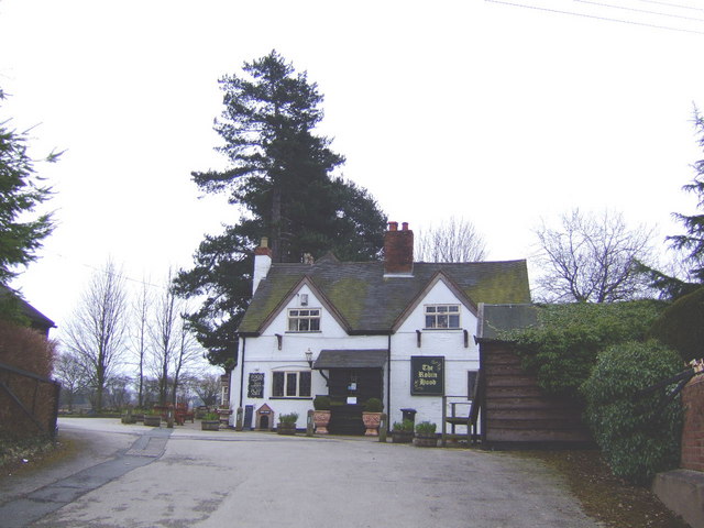
The village is home to a close-knit community of around 500 residents, fostering a friendly and welcoming atmosphere. Drayton boasts a range of amenities, including a local pub, a village hall, and a primary school, catering to the needs of its residents.
Nature enthusiasts and outdoor lovers will find plenty to explore in and around Drayton. The village is surrounded by beautiful countryside, offering numerous walking and cycling routes. Nearby attractions include the picturesque River Avon, which runs through Evesham, and the stunning Cotswolds, a designated Area of Outstanding Natural Beauty.
Despite its peaceful rural setting, Drayton benefits from good transport links. The village is conveniently located near major road networks, allowing for easy access to nearby towns and cities. The nearby Evesham railway station provides regular services to Worcester, Birmingham, and London.
In summary, Drayton offers residents a charming village lifestyle surrounded by beautiful countryside, while still providing convenient access to amenities and transport links.
If you have any feedback on the listing, please let us know in the comments section below.
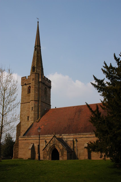
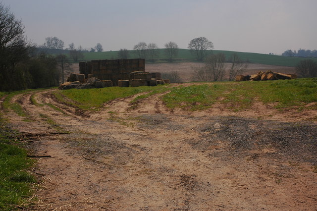
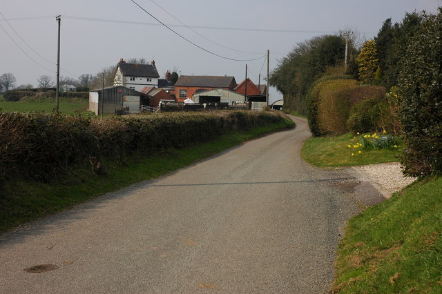
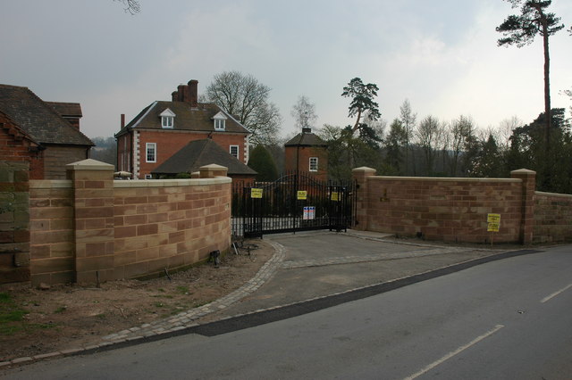
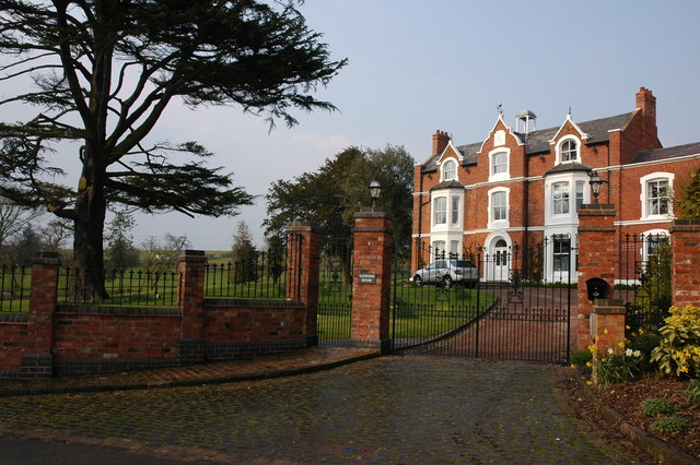
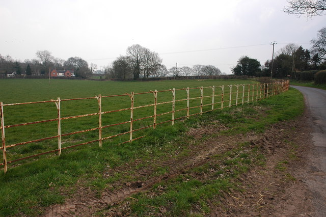
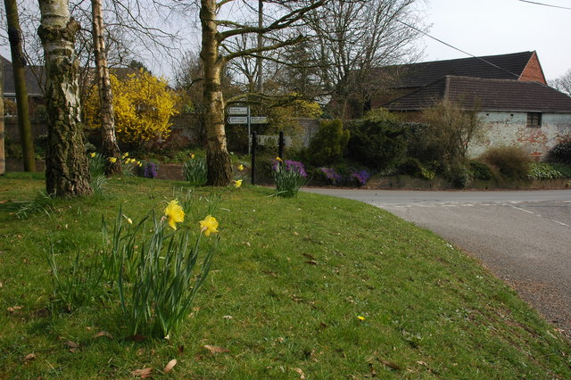
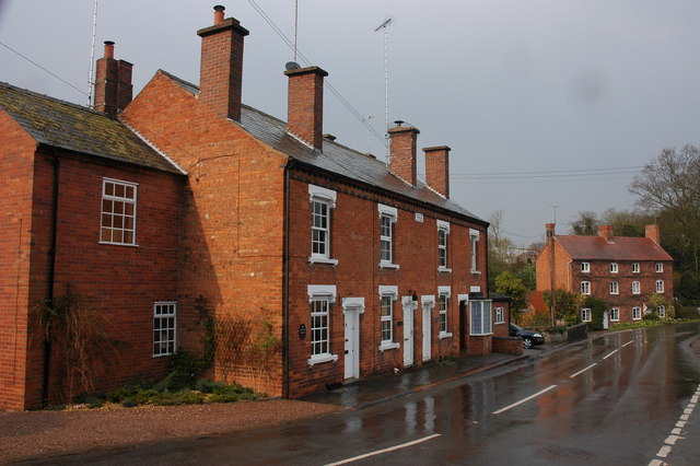
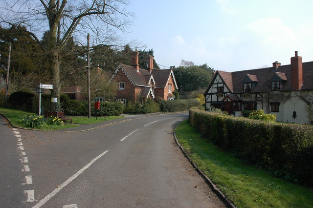
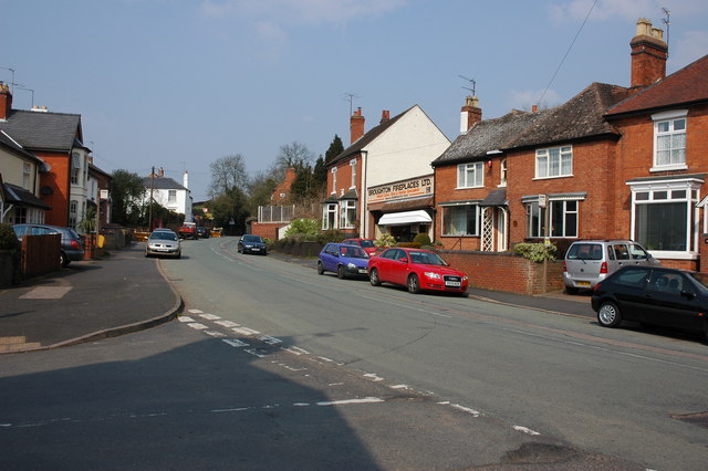
Drayton Images
Images are sourced within 2km of 52.383448/-2.139985 or Grid Reference SO9076. Thanks to Geograph Open Source API. All images are credited.


Drayton is located at Grid Ref: SO9076 (Lat: 52.383448, Lng: -2.139985)
Administrative County: Worcestershire
District: Wyre Forest
Police Authority: West Mercia
What 3 Words
///weeds.natively.curls. Near Belbroughton, Worcestershire
Nearby Locations
Related Wikis
Drayton, Worcestershire
Drayton is a hamlet in Worcestershire, England which remains part of the ecclesiastical parish of Chaddesley Corbett, which from its select vestry formed...

Belbroughton
Belbroughton ( bel-BRAW-tən) is a village and civil parish in the Bromsgrove District of Worcestershire, England. According to the 2021 census it had...

Tanwood
Tanwood is a hamlet in the English county of Worcestershire. It lies about one mile northeast of the village of Chaddesley Corbett and forms part of the...

Hackmans Gate
Hackmans Gate is a hamlet in the parish of Broome, and the district of Wyre Forest District of Worcestershire, England.
Broome, Worcestershire
Broome is a village and civil parish in the Wyre Forest District of Worcestershire, England. According to the 2001 census it had a population of 338. The...

Chaddesley Woods National Nature Reserve
Chaddesley Woods National Nature Reserve is situated near the village of Chaddesley Corbett, in Worcestershire, England. It is a reserve of the Worcestershire...

Chaddesley Corbett
Chaddesley Corbett is a village and civil parish in the Wyre Forest District of Worcestershire, England. The Anglican and secular versions of the parish...
Holy Cross, Worcestershire
Holy Cross is one of five hamlets in village of Clent in the county of Worcestershire, England. The hamlet consists of housing apart from the Bell and...
Nearby Amenities
Located within 500m of 52.383448,-2.139985Have you been to Drayton?
Leave your review of Drayton below (or comments, questions and feedback).