Draycott in the Moors

Settlement in Staffordshire Staffordshire Moorlands

England

Draycott in the Moors

Forsbrook Parish Church View of the war memorial and St.Peter's parish church, from the car park.
Forsbrook Parish Church Credit: Roger May

Draycott in the Moors is a small village located in the county of Staffordshire, England. Situated approximately 6 miles southeast of Stoke-on-Trent, it is nestled in a rural area known for its picturesque landscapes and charming countryside.

The village is known for its rich history, dating back to the Anglo-Saxon period. The name "Draycott" is believed to have originated from the Old English words "draege" and "cot," meaning "a cottage on a slope." This is fitting, as the village is set on a gentle slope, offering stunning views of the surrounding countryside.

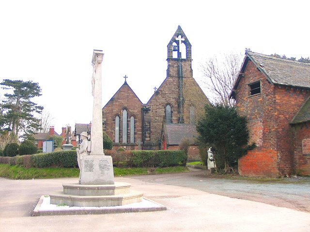
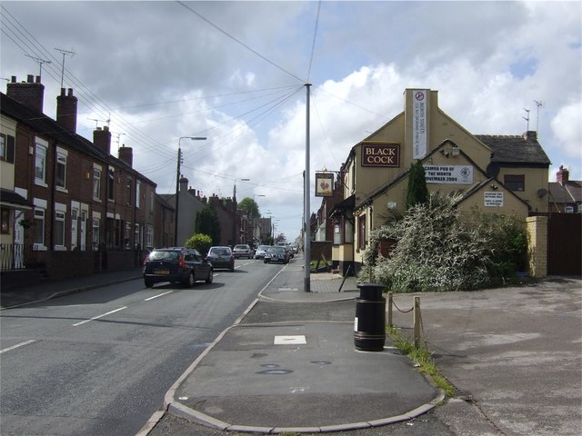
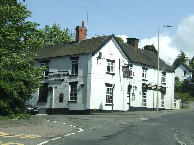
The village itself is compact, with a tight-knit community of residents. It features a range of traditional stone-built houses, giving it a timeless and quaint atmosphere. The focal point of the village is St. Margaret's Church, a grade II listed building that dates back to the 13th century. The church is known for its beautiful stained glass windows and striking architecture.

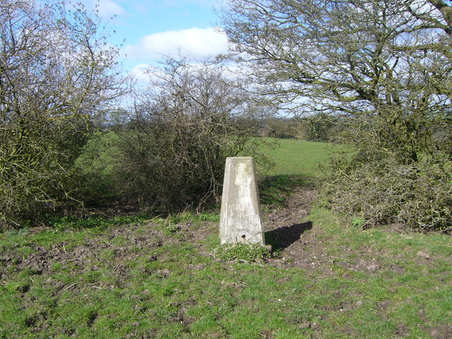
Draycott in the Moors is surrounded by lush green fields, making it an ideal location for outdoor enthusiasts. There are several walking trails and bridleways in the area, allowing visitors to explore the stunning countryside and enjoy the fresh air. Additionally, the village is conveniently located near the Staffordshire Moorlands, offering further opportunities for outdoor activities such as hiking and cycling.

Overall, Draycott in the Moors is a charming village with a rich history and natural beauty, making it an appealing destination for those seeking a tranquil and picturesque escape.

If you have any feedback on the listing, please let us know in the comments section below.

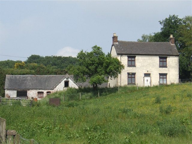
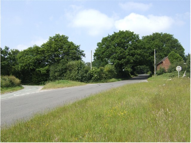
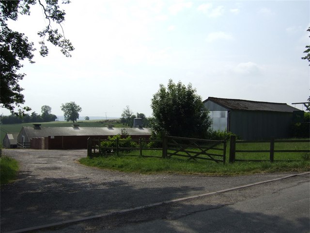
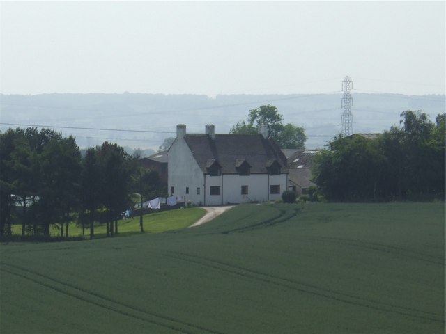
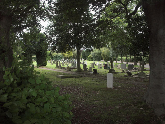
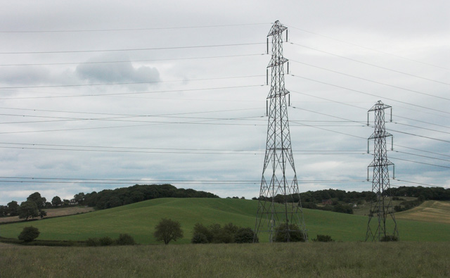
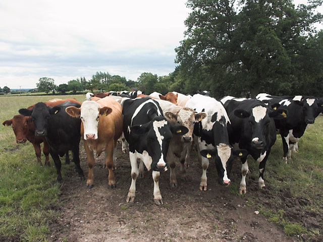
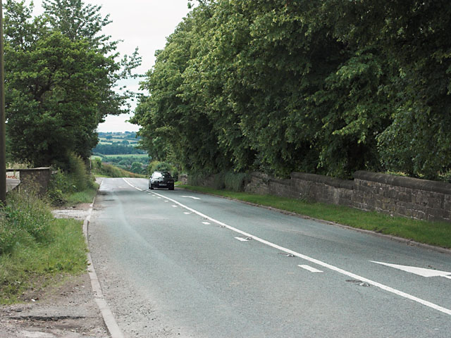
Draycott in the Moors Images

Images are sourced within 2km of 52.960224/-2.036396 or Grid Reference SJ9740. Thanks to Geograph Open Source API. All images are credited.

Forsbrook Parish Church View of the war memorial and St.Peter's parish church, from the car park.
Forsbrook Parish Church
View of the war memorial and St.Peter's parish church, from the car park.
Draycott trig
Draycott trig
Level Crossing on Stallington Road Level Crossing on Stallington Road in Blythe Bridge, taking the main line from the east into Stoke on Trent.
Level Crossing on Stallington Road
Level Crossing on Stallington Road in Blythe Bridge, taking the main line from the east into Stoke on Trent.
Forsbrook and Blythe Bridge Village Hall
The Black Cock The Black Cock is on Uttoxeter Road, the main road through Blythe Bridge.
The Black Cock
The Black Cock is on Uttoxeter Road, the main road through Blythe Bridge.
The New Plough The New Plough Inn is on Uttoxeter Road in Draycott-In-The-Moors. The Olive Tree restaurant is attached.
The New Plough
The New Plough Inn is on Uttoxeter Road in Draycott-In-The-Moors. The Olive Tree restaurant is attached.
Draycott Arms The Draycott Arms is on the corner of Uttoxeter Road and Cheadle Road in Draycott-In-The-Moors.
Draycott Arms
The Draycott Arms is on the corner of Uttoxeter Road and Cheadle Road in Draycott-In-The-Moors.
Farm, Coneygreaves
Farm, Coneygreaves
Road Junction at Draycott Cross
Wayside Farm Wayside Farm is also known as Wayside Kennels.
Wayside Farm
Wayside Farm is also known as Wayside Kennels.
Fields Farm
Fields Farm
Forsbrook Cemetery The first burial at this relatively modern cemetery was in December 1903.
Forsbrook Cemetery
The first burial at this relatively modern cemetery was in December 1903.
Pylons in the landscape
Inquisitive cows A hazard for Geograph-ers.
Inquisitive cows
A hazard for Geograph-ers.
Cheadle Road outside Forsbrook
A50 near Upper Newton Farm The car immediately ahead has just passed over the track providing access from the farm to fields on the northern side of the A50. A changed road surface and protecting parapets give away the site.
A50 near Upper Newton Farm
The car immediately ahead has just passed over the track providing access from the farm to fields on the northern side of the A50. A changed road surface and protecting parapets give away the site.
A50 about to bridge Cresswell Old Lane
A50 crossed by power lines near Cresswell Sandon Road's bridge is marked in the distance by a change in the road surface.
A50 crossed by power lines near Cresswell
Sandon Road's bridge is marked in the distance by a change in the road surface.
Show me another place!

Draycott in the Moors is located at Grid Ref: SJ9740 (Lat: 52.960224, Lng: -2.036396)

Administrative County: Staffordshire

District: Staffordshire Moorlands

Police Authority: Staffordshire

What 3 Words

///young.corrode.backfired. Near Cheadle, Staffordshire

Nearby Locations

Draycott in the Moors

Related Wikis

Draycott in the Moors

Draycott in the Moors is a village in Staffordshire, England. It is between Stoke on Trent and Uttoxeter near the River Blythe. It is two and a half miles...

Cresswell, Staffordshire

Cresswell is a hamlet in Staffordshire, England. It is approximately one mile SE of Blythe Bridge and has a population of approximately 300. From the 2011...

Cresswell railway station

Cresswell railway station was a railway station located on the Stoke-Derby line at Cresswell, Staffordshire, England. It was opened by the North Staffordshire...

Boundary, Staffordshire

Boundary is a village in the civil parish of Forsbrook, in the Staffordshire Moorlands district, in the county of Staffordshire, England, near to the town...

Nearby Amenities

Located within 500m of 52.960224,-2.036396
Bus Stop
Church Lane
Bus: yes
Naptan AtcoCode: 3800C814700
Naptan Bearing: NW
Naptan BusStopType: CUS
Naptan CommonName: Church Lane
Naptan Indicator: Adj
Naptan Landmark: Church Lane
Naptan Street: Uttoxeter Rd
Naptan Verified: no
Public Transport: platform
Source: naptan_import
Lat/Long: 52.9588761/-2.0310387
Bus Stop
Cresswell Lane
Bus: yes
Naptan AtcoCode: 3800C814701
Naptan Bearing: SE
Naptan BusStopType: CUS
Naptan CommonName: Cresswell Lane
Naptan Indicator: opp
Naptan Landmark: Creswell Lane
Naptan Street: Uttoxeter Rd
Naptan Verified: no
Public Transport: platform
Source: naptan_import
Lat/Long: 52.9590737/-2.0315003
Bus Stop
Cresswell Lane
Bus: yes
Naptan AtcoCode: 3800C814702
Naptan Bearing: NW
Naptan CommonName: Cresswell Lane
Naptan Indicator: Adj
Naptan Landmark: Cresswell Ln
Naptan Street: Uttoxeter Rd
Naptan Verified: no
Public Transport: platform
Source: naptan_import
Lat/Long: 52.9590017/-2.031798
Bus Stop
New Avenue
Bus: yes
Naptan AtcoCode: 3800C861401
Naptan Bearing: E
Naptan CommonName: New Avenue
Naptan Indicator: Adj
Naptan Landmark: New Ave
Naptan Street: Uttoxeter Rd
Naptan Verified: no
Public Transport: platform
Source: naptan_import
Lat/Long: 52.961965/-2.0422811
Bus Stop
Old Road
Bus: yes
Naptan AtcoCode: 3800C861501
Naptan Bearing: W
Naptan CommonName: Old Road
Naptan Indicator: Opp
Naptan Landmark: Old Rd
Naptan Street: Uttoxeter Rd
Naptan Verified: no
Public Transport: platform
Source: naptan_import
Lat/Long: 52.960609/-2.0380965
Bus Stop
Old Road
Bus: yes
Naptan AtcoCode: 3800C861601
Naptan Bearing: SE
Naptan CommonName: Old Road
Naptan Indicator: Adj
Naptan Landmark: Old Rd
Naptan Street: Uttoxeter Rd
Naptan Verified: no
Public Transport: platform
Source: naptan_import
Lat/Long: 52.9606092/-2.0374712
Power: tower
Source: Bing
Lat/Long: 52.9592194/-2.0353217
Power: tower
Source: Bing
Lat/Long: 52.9561233/-2.035497
Power: tower
Source: Bing
Lat/Long: 52.9630256/-2.0350035
Power: pole
Lat/Long: 52.95855/-2.0301106
Power: pole
Source: Bing
Lat/Long: 52.9602112/-2.0295564
Power: pole
Source: Bing
Lat/Long: 52.9599767/-2.0297592
Waste Basket
Lat/Long: 52.961955/-2.0422868
Waste Basket
Lat/Long: 52.9613556/-2.038236
The data included in this document is from www.openstreetmap.org. The data is made available under ODbL.

Have you been to Draycott in the Moors?

Leave your review of Draycott in the Moors below (or comments, questions and feedback).