Coneygrey Plantation
Wood, Forest in Nottinghamshire Broxtowe
England
Coneygrey Plantation
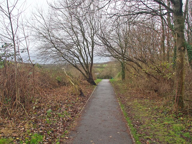
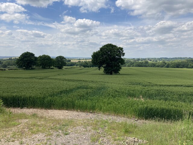
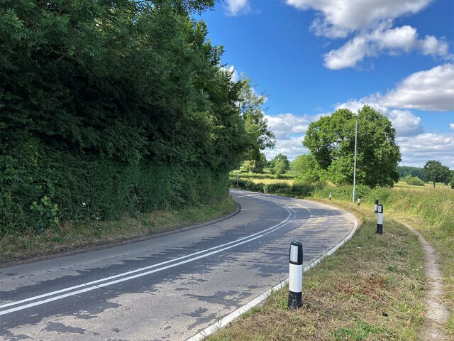
Coneygrey Plantation is a picturesque woodland located in Nottinghamshire, England. Situated in the heart of Sherwood Forest, this plantation covers an area of approximately 100 acres, offering visitors a tranquil and enchanting experience.
The plantation is predominantly composed of oak and birch trees, which provide a stunning display of rich, vibrant foliage throughout the year. These majestic trees, towering overhead, create a cool, shaded environment, perfect for leisurely walks or picnics on warm summer days. The forest floor is covered in a thick carpet of moss and ferns, adding to the natural beauty of the area.
Coneygrey Plantation is home to a diverse range of wildlife, including deer, rabbits, and a variety of bird species. Birdwatchers will be delighted by the opportunity to spot woodpeckers, owls, and other woodland birds in their natural habitat.
The plantation offers well-maintained walking trails, allowing visitors to explore the woodland at their own pace. There are also designated areas for camping and barbecues, making it an ideal destination for outdoor enthusiasts and families looking for a day out in nature.
Coneygrey Plantation is easily accessible, with ample parking facilities and nearby public transportation. The plantation is open year-round, with varying hours depending on the season. Visitors are encouraged to check the local website for up-to-date information on opening times and any special events or activities taking place.
Overall, Coneygrey Plantation is a captivating woodland retreat, offering a peaceful escape from the hustle and bustle of everyday life. With its breathtaking scenery and abundant wildlife, it is a must-visit destination for nature lovers and those seeking a serene natural environment.
If you have any feedback on the listing, please let us know in the comments section below.
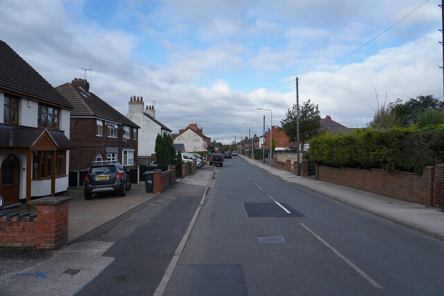
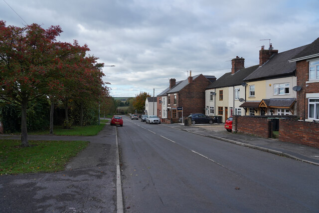
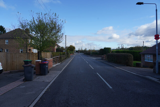
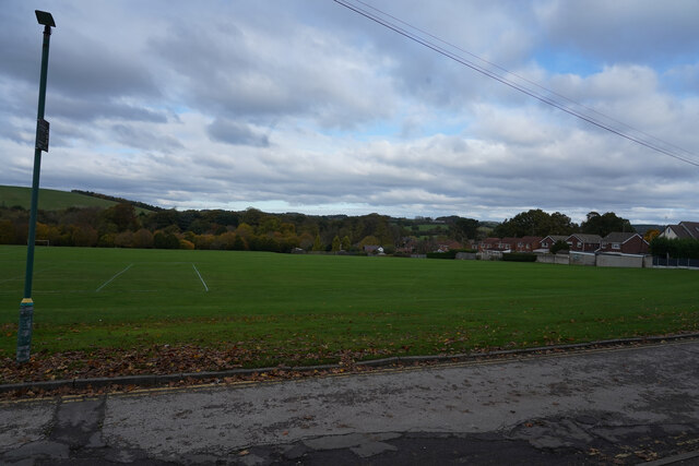
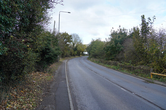
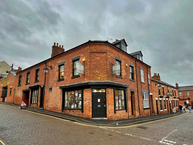
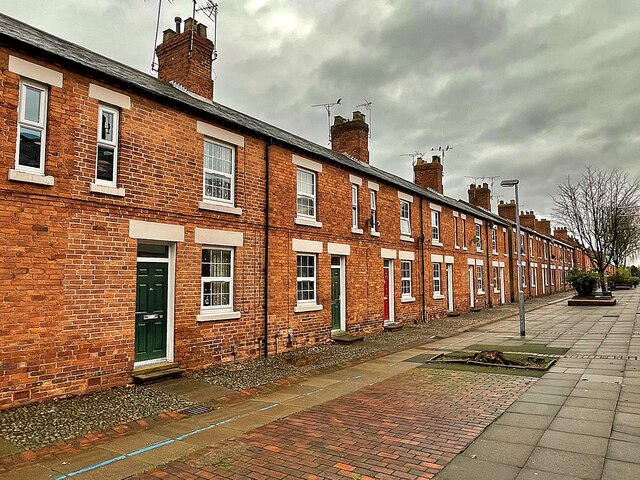
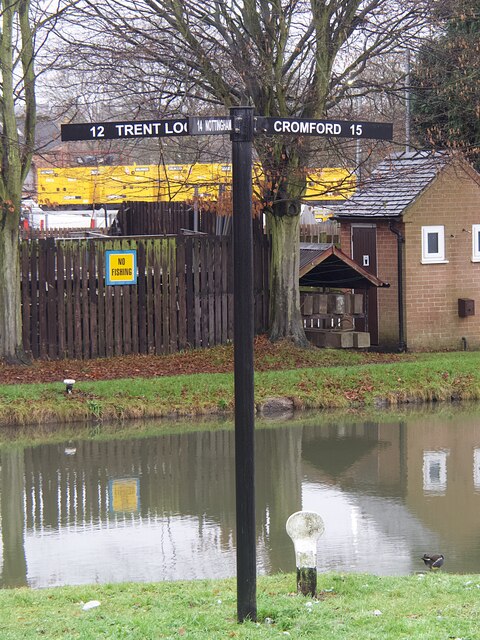
Coneygrey Plantation Images
Images are sourced within 2km of 53.032121/-1.3019938 or Grid Reference SK4648. Thanks to Geograph Open Source API. All images are credited.


Coneygrey Plantation is located at Grid Ref: SK4648 (Lat: 53.032121, Lng: -1.3019938)
Administrative County: Nottinghamshire
District: Broxtowe
Police Authority: Nottinghamshire
What 3 Words
///ever.messaging.clubs. Near Eastwood, Nottinghamshire
Nearby Locations
Related Wikis
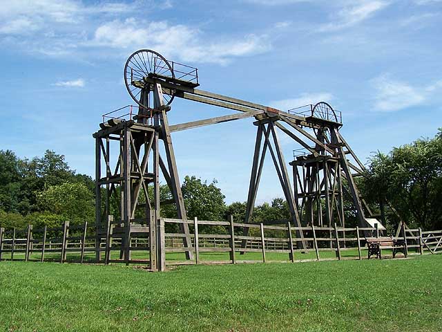
Brinsley Colliery
Brinsley Colliery was a coal mine in west Nottinghamshire, close to the boundary with Derbyshire, in what is now Broxtowe district. == History == It was...

Brinsley
Brinsley is a village and civil parish in Nottinghamshire, England. The church of St James was built in 1837–38 from Mansfield stone, the chancel being...

D. H. Lawrence Birthplace Museum
The D. H. Lawrence Birthplace Museum is a writer's home museum dedicated to the writer D. H. Lawrence situated in Eastwood, near Nottingham. It is the...
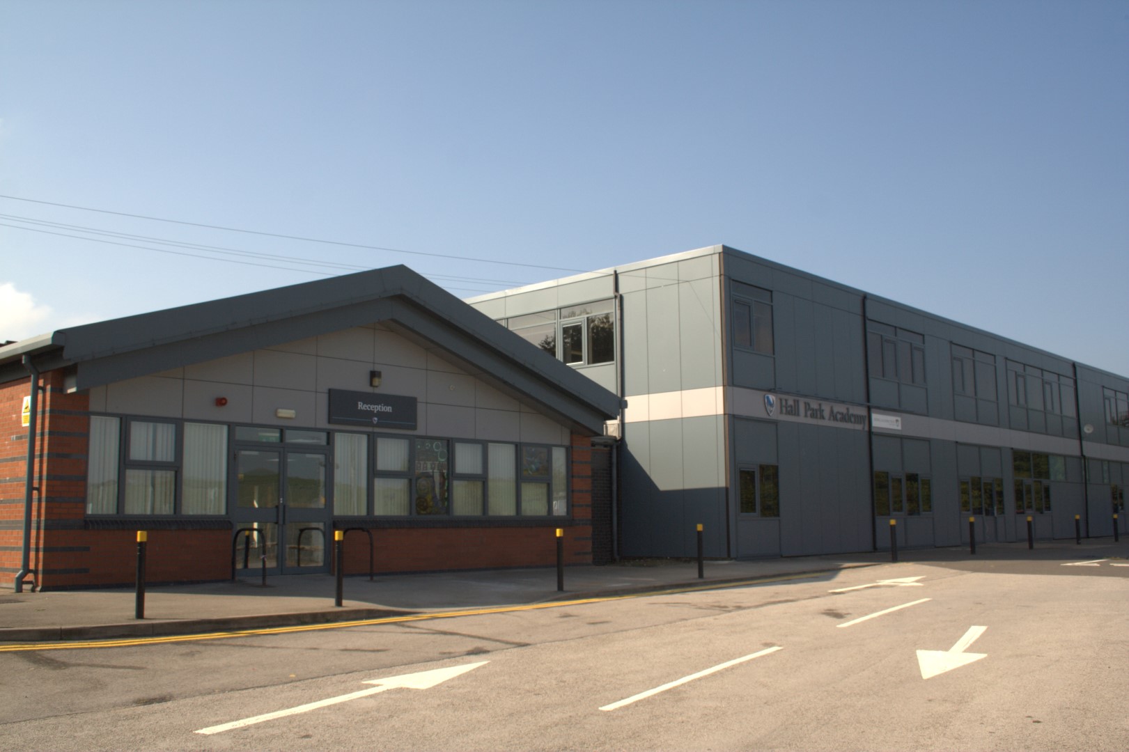
Hall Park Academy
Hall Park Academy (formerly Eastwood Comprehensive School) is a coeducational secondary school and sixth form located in Eastwood in the English county...

Eastwood, Nottinghamshire
Eastwood is a former coal mining town in the Broxtowe district of Nottinghamshire, England, 8 miles (13 km) northwest of Nottingham and 10 miles (16 km...

Eastwood and Langley Mill railway station
Eastwood and Langley Mill railway station is a former railway station serving the town of Eastwood and the village of Langley Mill in Derbyshire, England...

Eastwood Town F.C.
Eastwood Town Football Club was an English football club based in Eastwood, Nottinghamshire. The club last participated in the Northern Premier League...
Eastwood C.F.C.
Eastwood Community Football Club is a football club based in Eastwood, Nottinghamshire, England. They are currently members of the United Counties League...
Nearby Amenities
Located within 500m of 53.032121,-1.3019938Have you been to Coneygrey Plantation?
Leave your review of Coneygrey Plantation below (or comments, questions and feedback).