College Copse
Wood, Forest in Hampshire Eastleigh
England
College Copse
College Copse is a serene woodland located in Hampshire, England. Spanning over a vast area, it is renowned for its dense canopy of trees and diverse flora and fauna. The copse is situated in close proximity to several educational institutions, thus earning its name "College."
The forest boasts a rich history dating back centuries. It has witnessed numerous changes and developments throughout time. Once a hunting ground for the local nobility, it has now transformed into a protected area for wildlife conservation. The copse is home to a wide variety of tree species, including oak, beech, and ash, which create a vibrant tapestry of colors during the autumn season.
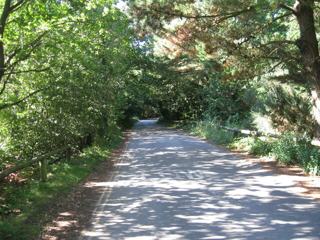
Visitors to College Copse are greeted by a network of well-maintained trails that meander through the forest, offering a perfect opportunity for hiking and exploring. The tranquil atmosphere and the soothing sounds of nature make it an ideal escape from the hustle and bustle of everyday life. The copse also provides shelter to various animals, such as deer, foxes, and a multitude of bird species, making it a haven for nature enthusiasts and birdwatchers.
The management of College Copse prioritizes conservation and preservation efforts. They ensure the forest remains untouched by human interference, allowing its ecosystem to thrive undisturbed. Educational programs and guided tours are organized regularly to create awareness about the importance of environmental sustainability and the significance of woodland habitats.
College Copse, with its enchanting beauty and ecological significance, stands as a testament to the importance of preserving natural landscapes for future generations.
If you have any feedback on the listing, please let us know in the comments section below.
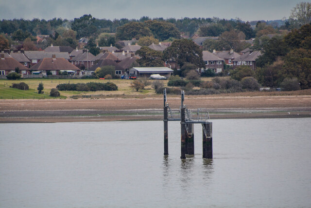
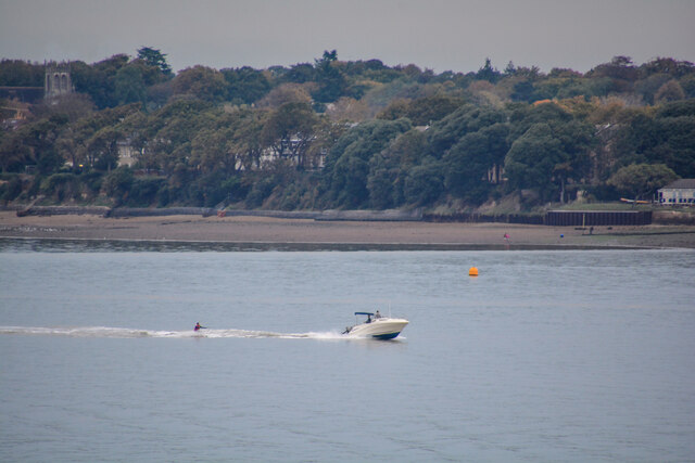
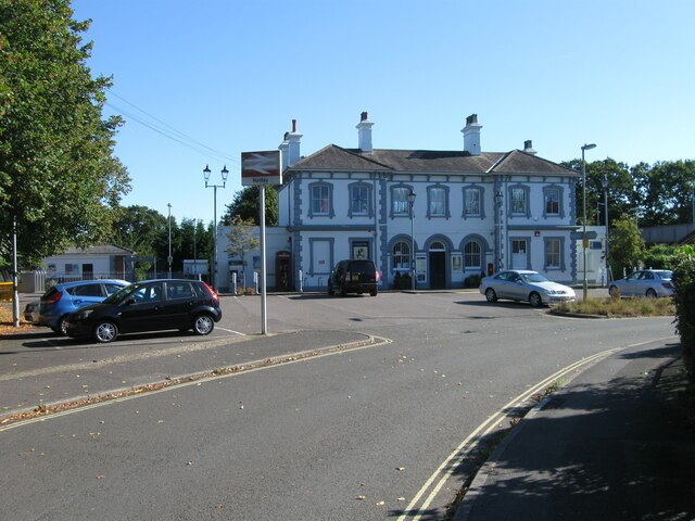
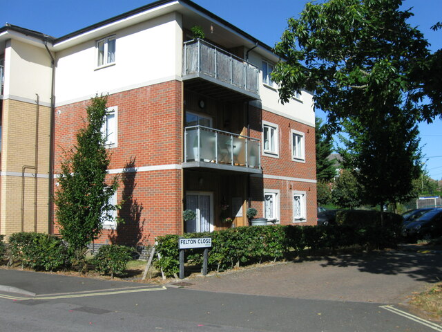
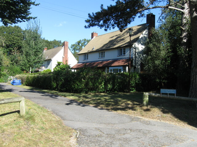
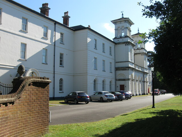
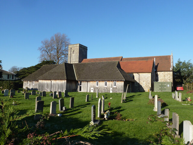
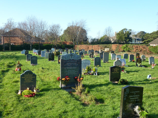
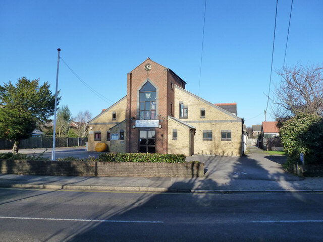
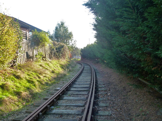
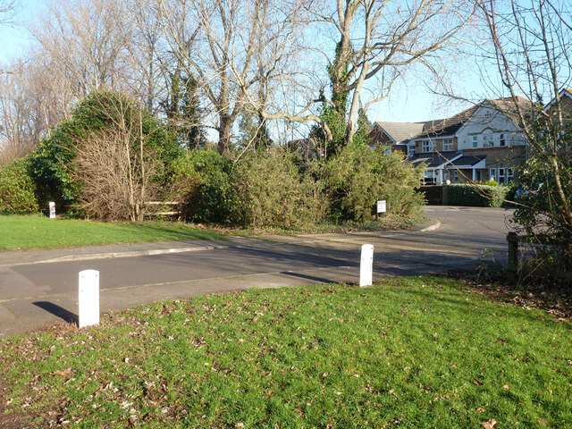
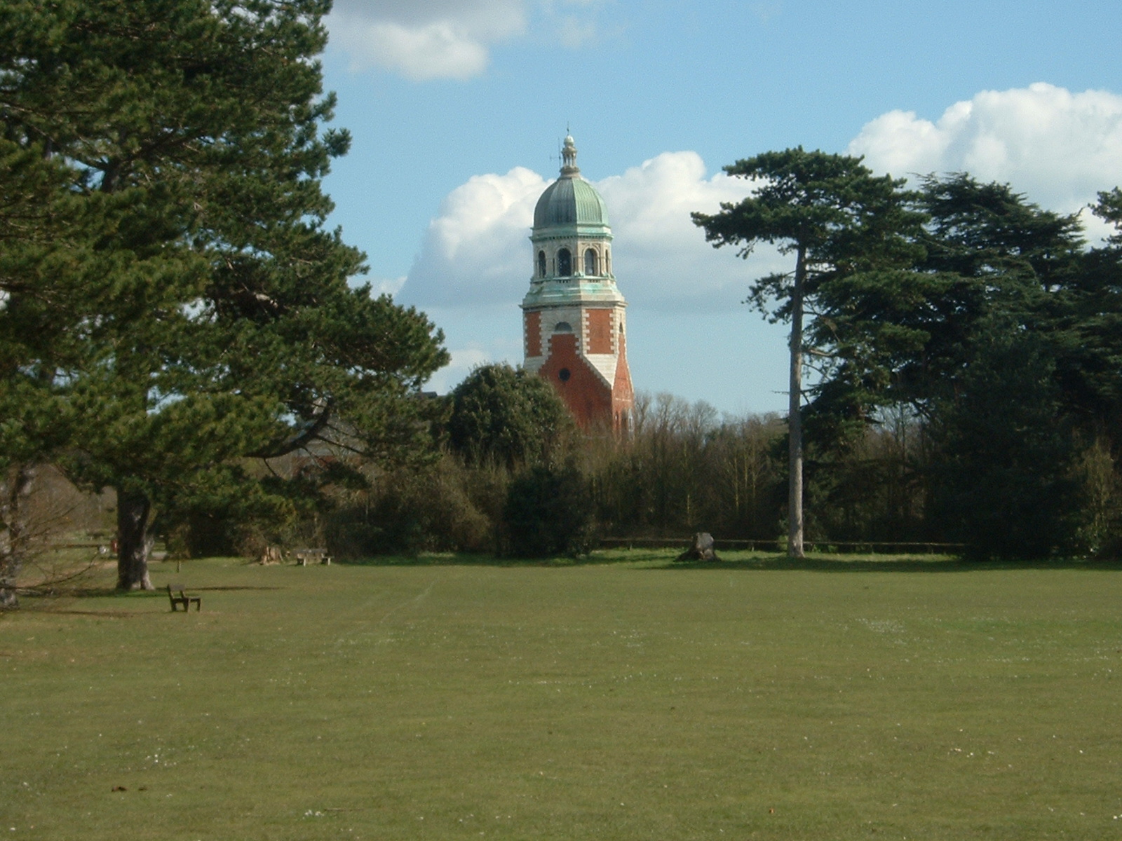
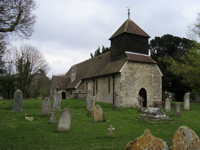
College Copse Images
Images are sourced within 2km of 50.864416/-1.3360398 or Grid Reference SU4607. Thanks to Geograph Open Source API. All images are credited.


College Copse is located at Grid Ref: SU4607 (Lat: 50.864416, Lng: -1.3360398)
Administrative County: Hampshire
District: Eastleigh
Police Authority: Hampshire
What 3 Words
///global.dozen.lonely. Near Hamble-le-Rice, Hampshire
Nearby Locations
Related Wikis

Royal Victoria Railway
The Royal Victoria Railway runs for around 0.6 miles (0.97 km) through Royal Victoria Country Park in Netley, Hampshire, England, with views of Southampton...

Folland Sports F.C.
Folland Sports Football Club is a football club based in Hamble-le-Rice, near Southampton, in Hampshire, England. They are currently members of the Wessex...

Netley Hospital
The Royal Victoria Hospital or Netley Hospital was a large military hospital in Netley, near Southampton, Hampshire, England. Construction started in 1856...
Hamble Club F.C.
Hamble Club Football Club is a football club based in Hamble-le-Rice, Hampshire. They are currently members of the Wessex League Premier Division and play...
Royal Victoria Country Park
The Royal Victoria Country Park is a country park in Netley, Hampshire, England, by the shores of Southampton Water. It comprises 200 acres (81 ha) of...

Hamble Rail Trail
The Hamble Rail Trail is a 4.5-mile-long (7.2 km) circular footpath in Hampshire, southern England, comprising a path which runs alongside a disused railway...
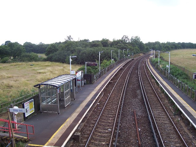
Hamble railway station
Hamble railway station is an unstaffed station near the village of Hamble-le-Rice, England. It is served by a 2-track electrified line which joins the...
Hound, Hampshire
Hound is a village and civil parish in the borough of Eastleigh in southern Hampshire, England. The parish encompasses the villages of Netley, Butlocks...
Nearby Amenities
Located within 500m of 50.864416,-1.3360398Have you been to College Copse?
Leave your review of College Copse below (or comments, questions and feedback).