Draycot

Settlement in Oxfordshire South Oxfordshire

England

Draycot

Road from Albury The sole access road for Albury, heading towards Tiddington.
Road from Albury Credit: Bill Boaden

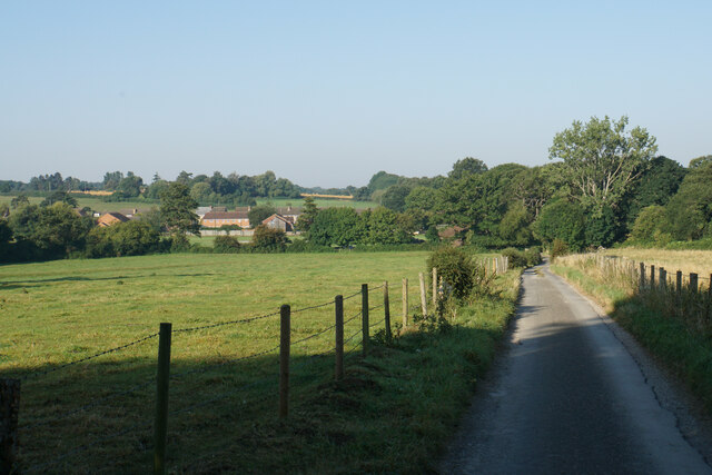
Draycot is a small village located in Oxfordshire, England. Situated approximately 5 miles southwest of the town of Faringdon, it is nestled in the picturesque countryside of the Vale of White Horse. With a population of around 300 residents, Draycot exudes a peaceful and close-knit community atmosphere.

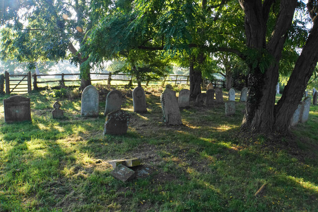
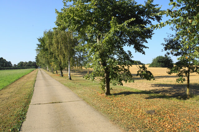
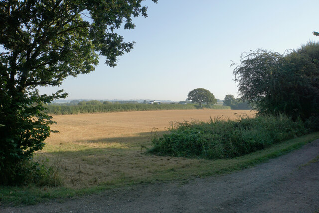
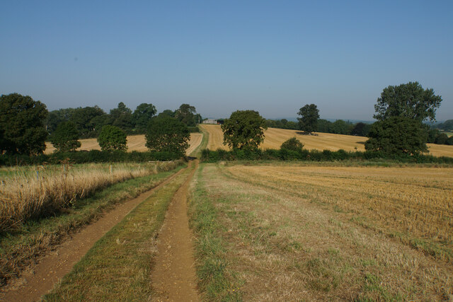
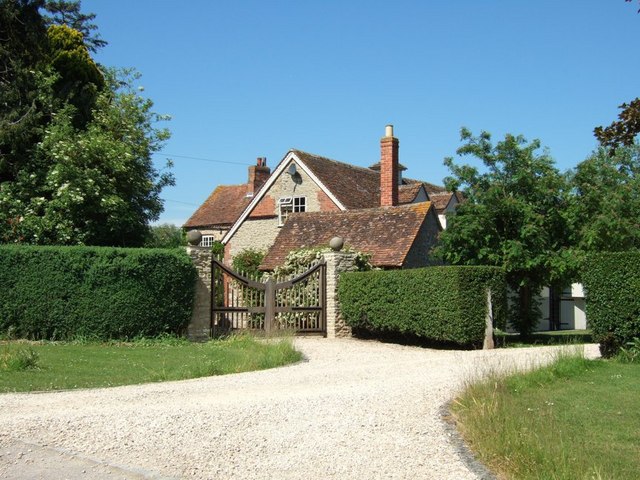
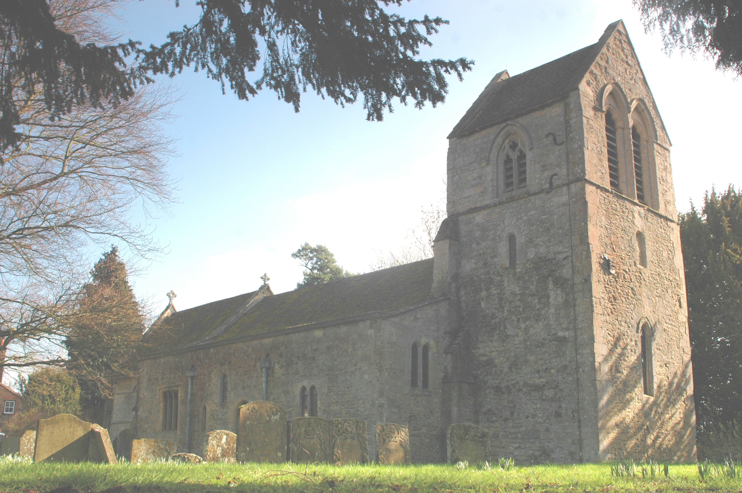
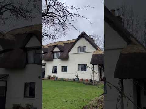
The village is characterized by its charming thatched-roof cottages, historic buildings, and sprawling green fields. It boasts a rich history, with evidence of settlement dating back to Roman times. The 12th-century St. James' Church stands as a testament to the village's long-standing presence.

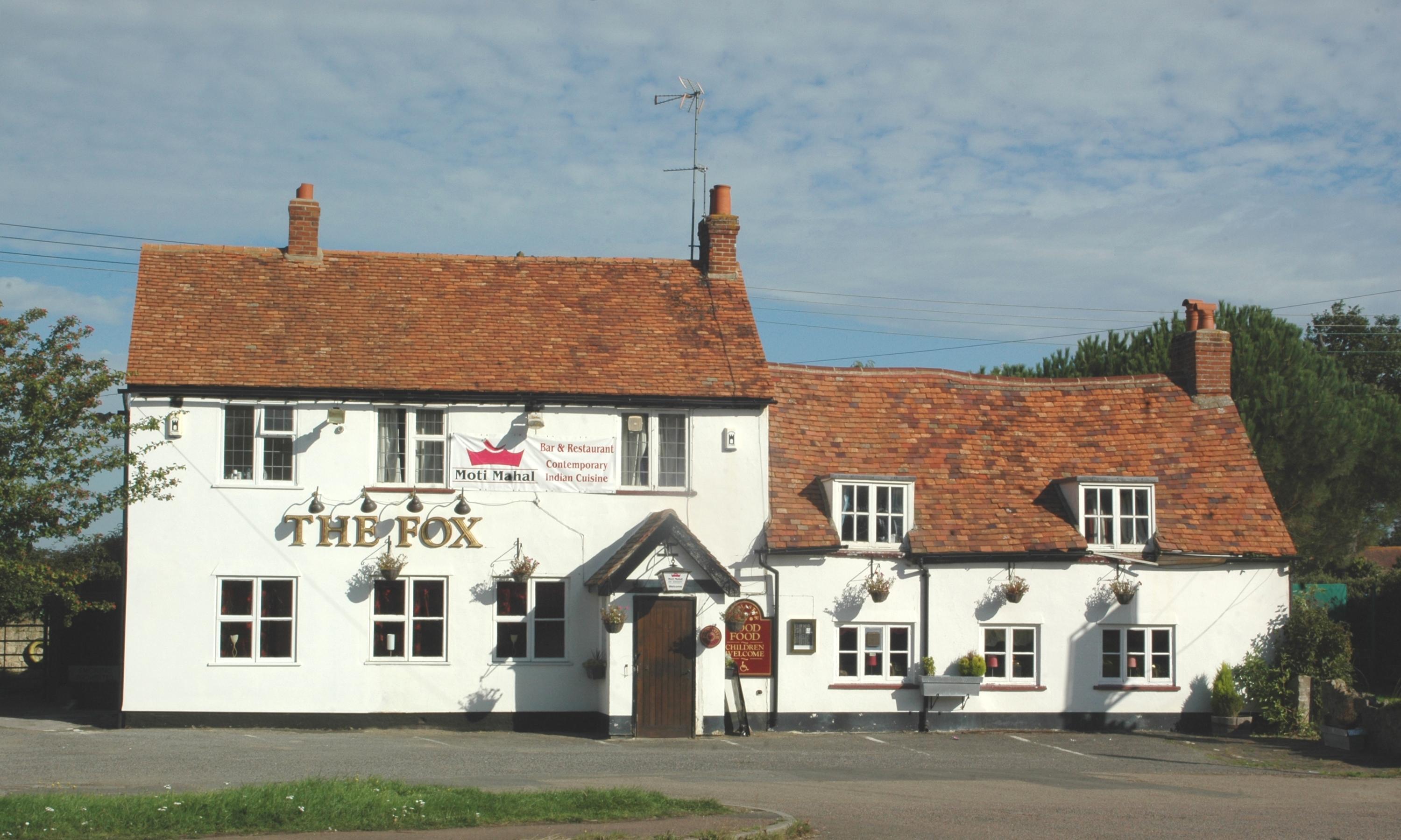
Draycot offers a variety of amenities to its residents. The village is home to a local pub, The Red Lion, which serves as a popular gathering spot. Its traditional interior and friendly atmosphere make it a welcoming place for locals and visitors alike. Additionally, there is a community center that hosts various events and activities throughout the year, fostering a sense of unity among residents.

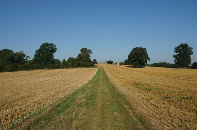
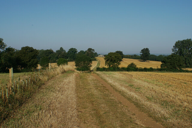
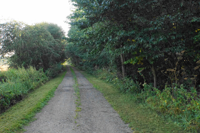
The surrounding countryside provides ample opportunities for outdoor activities. The area is renowned for its scenic walking and cycling routes, allowing residents to enjoy the beauty of the Oxfordshire landscape. The nearby White Horse Hill, with its iconic chalk horse carving, is a popular tourist attraction and offers stunning panoramic views of the surrounding area.

Overall, Draycot is a tranquil village that seamlessly blends history, natural beauty, and community spirit. Its idyllic setting and friendly atmosphere make it a cherished place to call home.

If you have any feedback on the listing, please let us know in the comments section below.
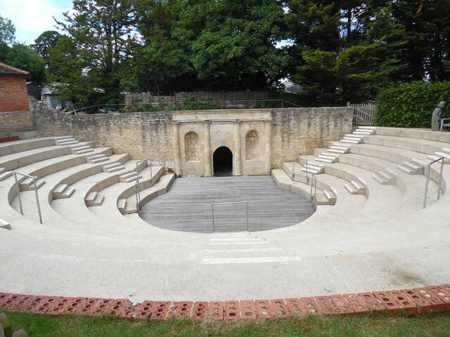
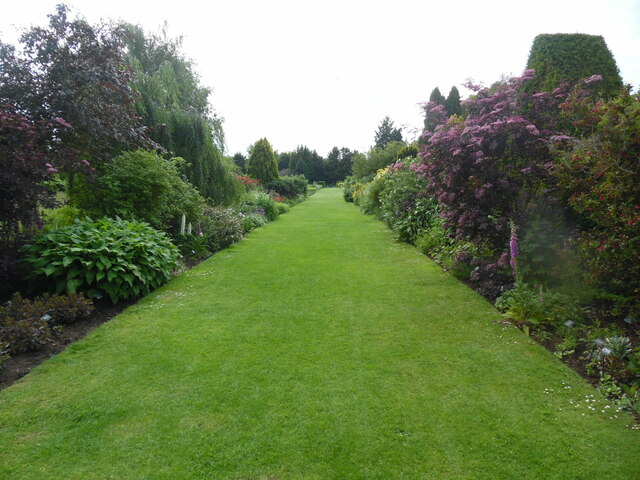
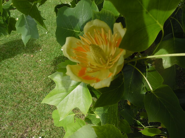
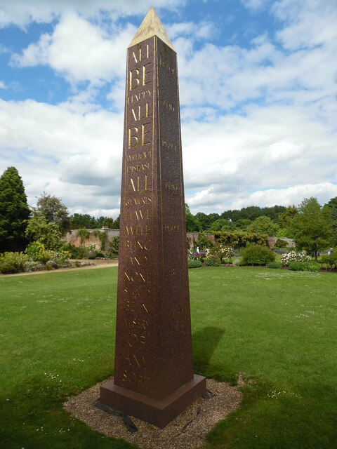
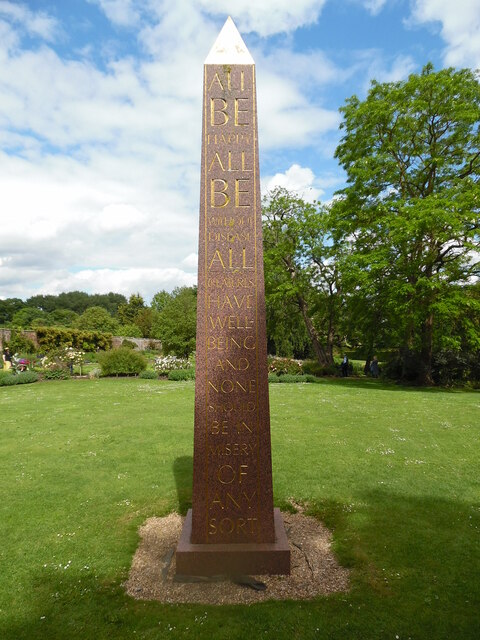
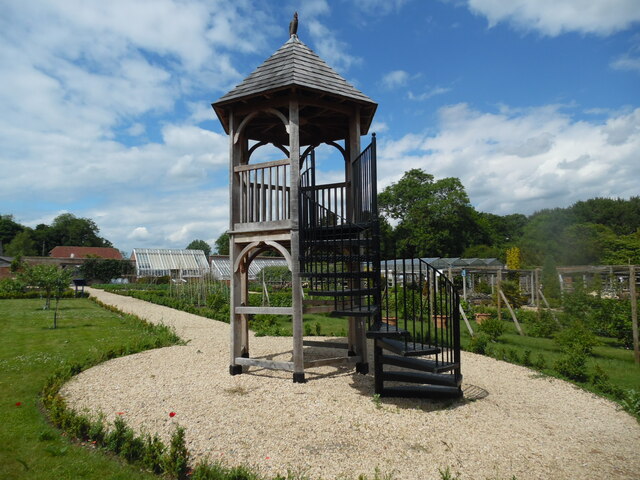
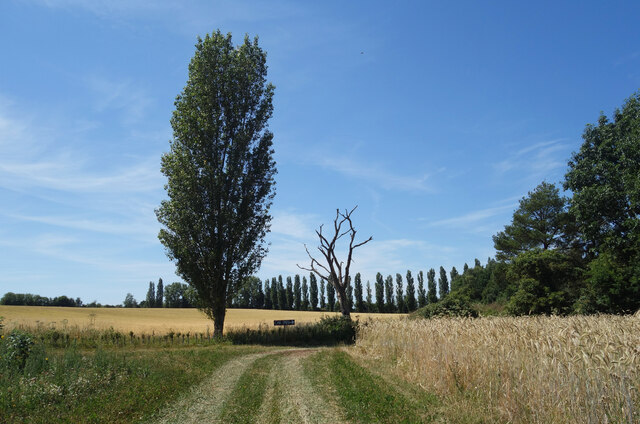
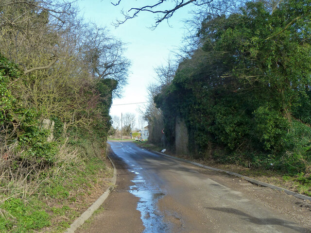
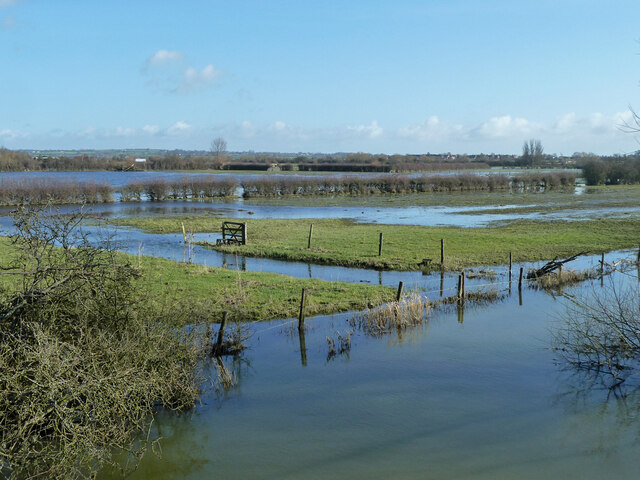
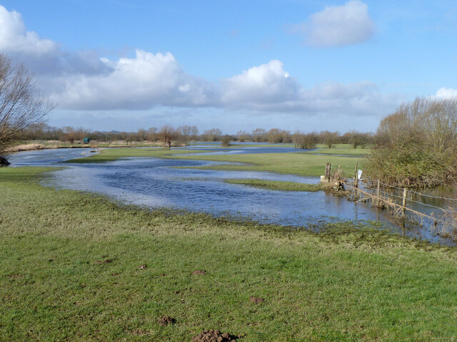
Draycot Images

Images are sourced within 2km of 51.748087/-1.060881 or Grid Reference SP6405. Thanks to Geograph Open Source API. All images are credited.

Road from Albury The sole access road for Albury, heading towards Tiddington.
Road from Albury
The sole access road for Albury, heading towards Tiddington.
Churchyard of St Helen's, Albury A quiet part round the back of the church.
Churchyard of St Helen's, Albury
A quiet part round the back of the church.
The Oxfordshire Way near Albury Albury is at the top of the rise.
The Oxfordshire Way near Albury
Albury is at the top of the rise.
The Oxfordshire Way near Albury Following the top of a small ridge.
The Oxfordshire Way near Albury
Following the top of a small ridge.
Driveway to Home Farm Part of the Thame Valley Way.
Driveway to Home Farm
Part of the Thame Valley Way.
Thame Valley Way near Rycote This part uses the track of a former railway.
Thame Valley Way near Rycote
This part uses the track of a former railway.
Harvested field by the Thame Valley Walk On the other side of the far hedge is the A418 which is not pleasant to walk along.
Harvested field by the Thame Valley Walk
On the other side of the far hedge is the A418 which is not pleasant to walk along.
The Oxfordshire Way near Albury Following a ridge towards Albury which is on top of the next rise.
The Oxfordshire Way near Albury
Following a ridge towards Albury which is on top of the next rise.
The Amphitheatre at Waterperry Gardens This photo shows the amphitheatre where theatre productions and opera performances take place during the summer months.
The Amphitheatre at Waterperry Gardens
This photo shows the amphitheatre where theatre productions and opera performances take place during the summer months.
Lawn with flowers at Waterperry Gardens This photo shows a lawn with a colour border of plants and shrubs.
Lawn with flowers at Waterperry Gardens
This photo shows a lawn with a colour border of plants and shrubs.
Flower of a Tulip Tree at Waterperry Gardens This photo shows a flower of a tulip tree in Waterperry Gardens. Details of the tulip tree or liriodendron can be found on the Wikipedia website at <span class="nowrap"><a title="https://en.wikipedia.org/wiki/Liriodendron" rel="nofollow ugc noopener" href="https://en.wikipedia.org/wiki/Liriodendron">Link</a><img style="margin-left:2px;" alt="External link" title="External link - shift click to open in new window" src="https://s1.geograph.org.uk/img/external.png" width="10" height="10"/></span>.
Flower of a Tulip Tree at Waterperry Gardens
This photo shows a flower of a tulip tree in Waterperry Gardens. Details of the tulip tree or liriodendron can be found on the Wikipedia website at LinkExternal link.
Red Granite Obelisk in Waterperry Gardens (1) This obelisk was designed and carved by Simon Buchanan, and is the brainchild of the School of Economic Science who own Waterperry Gardens. The wording on the right side says "Peace And Peace And Peace Be Every Where". The Walled Garden can be seen in the background.
Red Granite Obelisk in Waterperry Gardens (1)
This obelisk was designed and carved by Simon Buchanan, and is the brainchild of the School of Economic Science who own Waterperry Gardens. The wording on the right side says "Peace And Peace And Peace Be Every Where". The Walled Garden can be seen in the background.
Red Granite Obelisk in Waterperry Gardens (2) This obelisk was commissioned by the School of Economic Science so that visitors can have a greater understanding of the philosophical principles of the School by expressing a common aim of members. It is similar to those of Egyptian style and incorporates an ancient prayer traditionally recited in Sanskrit and translated into English.
 The obelisk also expresses a desire that peace should be everywhere in the wording:
 'All be happy. All be without disease. All creatures have well-being and none should be in misery of any sort'.
Red Granite Obelisk in Waterperry Gardens (2)
This obelisk was commissioned by the School of Economic Science so that visitors can have a greater understanding of the philosophical principles of the School by expressing a common aim of members. It is similar to those of Egyptian style and incorporates an ancient prayer traditionally recited in Sanskrit and translated into English. The obelisk also expresses a desire that peace should be everywhere in the wording: 'All be happy. All be without disease. All creatures have well-being and none should be in misery of any sort'.
Viewing Tower in the Walled Garden at Waterperry Gardens This viewing tower in the Walled Garden was officially opened on Friday 20th September 2019. Founded by the School of Philosophy and Economic Science, it was
designed by David Hockney and built by John Franks. A cockerel sculpture has been fixed to the top of the tower.
Viewing Tower in the Walled Garden at Waterperry Gardens
This viewing tower in the Walled Garden was officially opened on Friday 20th September 2019. Founded by the School of Philosophy and Economic Science, it was designed by David Hockney and built by John Franks. A cockerel sculpture has been fixed to the top of the tower.
Poplars at Sandy Lane Farm
Old railway bridge, Sandy Lane, Tiddington The Princes Risborough - Oxford line, which closed here in 1968.
Old railway bridge, Sandy Lane, Tiddington
The Princes Risborough - Oxford line, which closed here in 1968.
River Thame in flood, 2014 Upstream of Ickford Bridge.
River Thame in flood, 2014
Upstream of Ickford Bridge.
River Thame in flood, 2014 Downstream of Ickford Bridge.
River Thame in flood, 2014
Downstream of Ickford Bridge.
Show me another place!

Draycot is located at Grid Ref: SP6405 (Lat: 51.748087, Lng: -1.060881)

Administrative County: Oxfordshire

District: South Oxfordshire

Police Authority: Thames Valley

What 3 Words

///diary.conductor.darkens. Near Long Crendon, Buckinghamshire

Related Wikis

Draycot, Oxfordshire

Draycot is a hamlet on the River Thame, in the civil parish of Tiddington-with-Albury, in the South Oxfordshire district, in the county of Oxfordshire...

Tiddington, Oxfordshire

Tiddington is a village in the civil parish of Tiddington-with-Albury, in the South Oxfordshire district, in Oxfordshire, England. It is about 3+1⁄2 miles...

Tiddington-with-Albury

Tiddington-with-Albury is a civil parish in South Oxfordshire. It includes the village of Albury (Ordnance Survey grid reference SP655051), the larger...

Tiddington railway station

Tiddington railway station was on the Wycombe Railway and served the village of Tiddington, Oxfordshire. On 24 October 1864 the Wycombe Railway opened...

Albury, Oxfordshire

Albury is a village in the civil parish of Tiddington-with-Albury, about 5 miles (8 km) west of Thame in Oxfordshire. == Manor == Its toponym is derived...

Waterstock

Waterstock is a village and civil parish on the River Thame about 4.5 miles (7 km) west of the market town of Thame in Oxfordshire. The parish is bounded...

Hundred of Hormer

Hormer was an ancient hundred of Berkshire, England. It consisted of the area immediately west of Oxford within the bend of the River Thames, all of which...

Ickford

Ickford is a village and civil parish in the unitary authority area of Buckinghamshire, England. It is on the boundary with Oxfordshire, about 4 miles...

Related Videos

Walking Around Oxford Service Station M40 - July 2022

Our Oxford services can be found off Junction 8a of the M40 - Let's walk around together. Sit back and enjoy the virtual walking ...

I've been filming for a secret project and we had to film a 'walk in' shot.

It's taken me a while to edit and upload this footage as there was rather a lot of it! I am pleased to share with you the Making of the ...

Waterperry Gardens Near Oxford | Full Tour & Day Out Review | UK Travel Vlog | Family Days Out UK

This week we visit Waterperry gardens near Oxford, Oxfordshire. A great place for a day out, we went for a relaxing walk around ...

Nearby Amenities

Located within 500m of 51.748087,-1.060881
Fixme: ?building?
Source: npe
Lat/Long: 51.749102/-1.0625867
Fixme: ?buildings?
Source: npe
Lat/Long: 51.7516301/-1.0608106
Barrier: stile
Lat/Long: 51.7511982/-1.0609721
Draycot
Place: hamlet
Lat/Long: 51.7483571/-1.0627505
Manor Farm
Created By: Potlatch 0.8a
Place: farm
Source: npe
Lat/Long: 51.7483049/-1.0593252
Fixme: ?building?;?mill?
Source: npe
Lat/Long: 51.7457541/-1.0603551
Fixme: ?buildings?
Source: npe
Lat/Long: 51.74873/-1.0613851
Fixme: ?building?
Source: npe
Lat/Long: 51.7459667/-1.0614709
Fixme: ?building?
Source: npe
Lat/Long: 51.749102/-1.0602693
Barrier: stile
Lat/Long: 51.7487548/-1.0593913
Barrier: stile
Lat/Long: 51.7481495/-1.0589658
Power: pole
Source: Bing
Lat/Long: 51.7470765/-1.0623991
Power: pole
Source: Bing
Lat/Long: 51.7446968/-1.062434
Power: pole
Source: Bing
Lat/Long: 51.7439959/-1.0623723
The data included in this document is from www.openstreetmap.org. The data is made available under ODbL.

Have you been to Draycot?

Leave your review of Draycot below (or comments, questions and feedback).