Barn Copse
Wood, Forest in Berkshire
England
Barn Copse
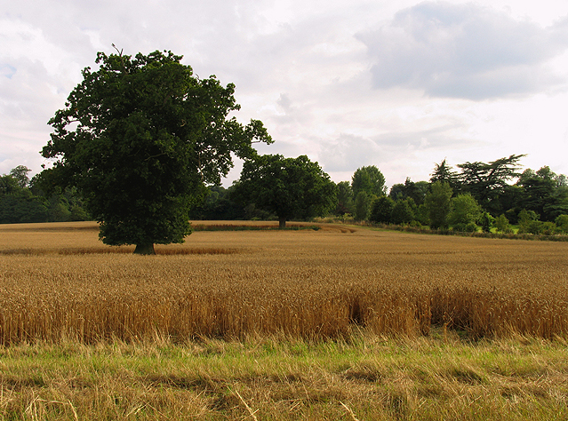
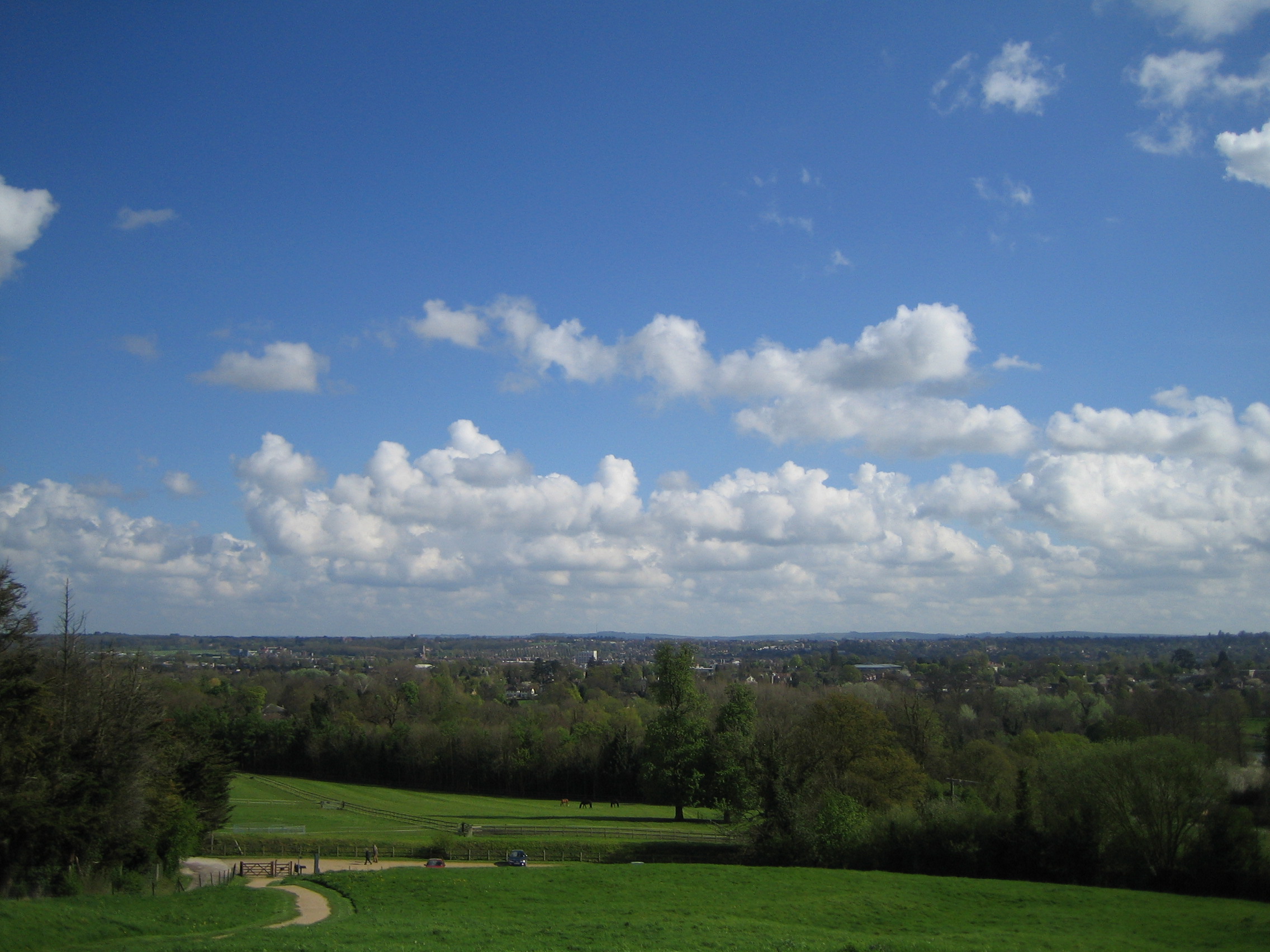
Barn Copse is a picturesque woodland located in the county of Berkshire, England. This serene forest is situated near the village of Compton, just a few miles south of the bustling town of Newbury. Spanning an area of approximately 50 acres, Barn Copse offers a tranquil retreat from the surrounding urban areas.
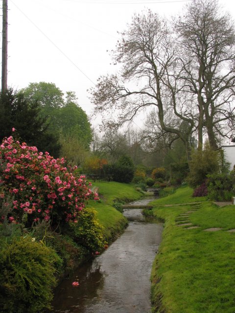
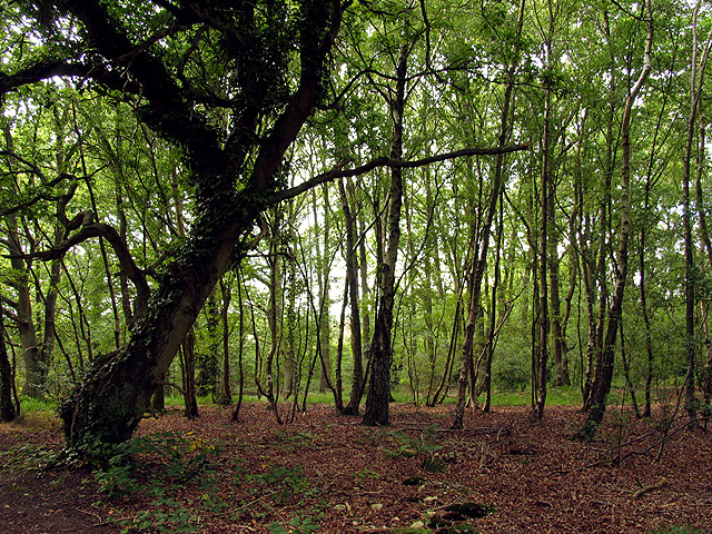
The woodland is characterized by its dense canopy of trees, which primarily consists of oak, beech, and birch. These majestic trees create a cool and shaded environment, perfect for a leisurely stroll or a peaceful picnic. The forest floor is adorned with a rich carpet of ferns, wildflowers, and moss, adding to the enchanting atmosphere.
Barn Copse is well-known for its diverse wildlife, attracting nature enthusiasts and birdwatchers alike. The forest provides a habitat for numerous bird species, such as woodpeckers, owls, and various songbirds. Small mammals, including squirrels and rabbits, can also be spotted scurrying among the trees. Additionally, the woodland is home to a variety of insects, including butterflies and dragonflies.
Visitors to Barn Copse can enjoy a range of outdoor activities within its peaceful confines. Several walking trails wind their way through the woodland, offering visitors the chance to explore its hidden nooks and crannies. Nature photography is also a popular pastime in the area, with many photographers captivated by the forest's natural beauty.
Overall, Barn Copse is a serene and enchanting woodland, providing a haven for wildlife and a peaceful escape for visitors seeking solace in nature.
If you have any feedback on the listing, please let us know in the comments section below.
Barn Copse Images
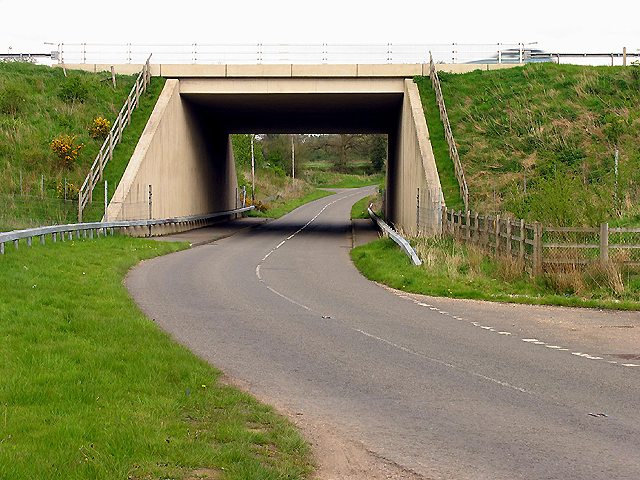
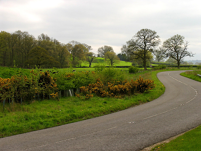
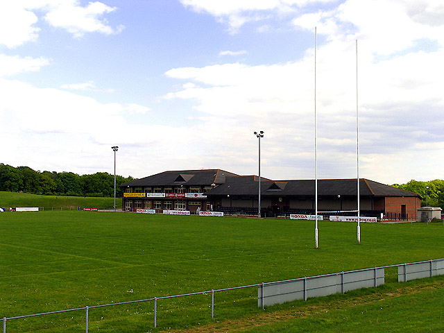
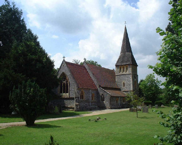
Images are sourced within 2km of 51.379504/-1.3341351 or Grid Reference SU4664. Thanks to Geograph Open Source API. All images are credited.


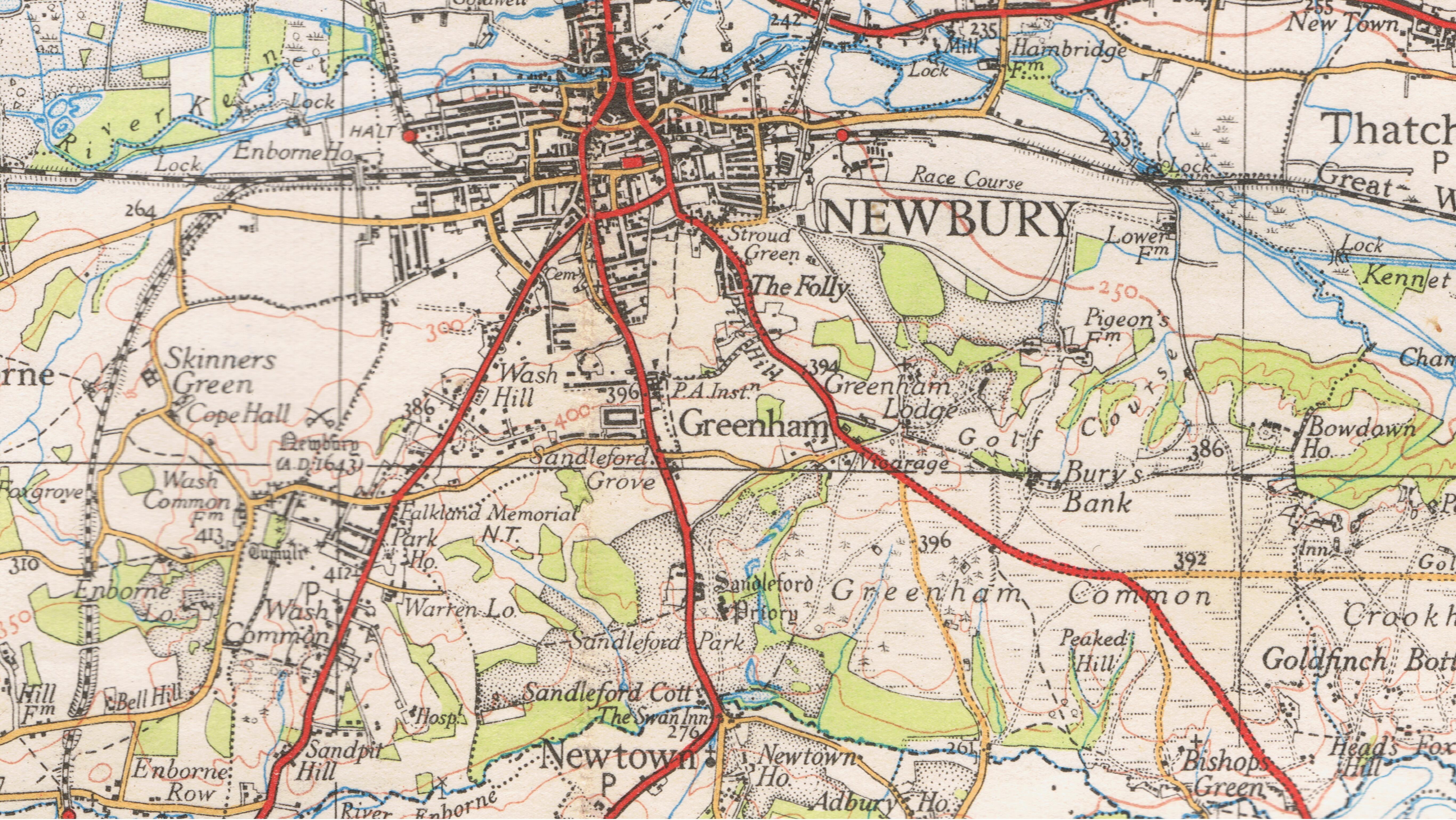
Barn Copse is located at Grid Ref: SU4664 (Lat: 51.379504, Lng: -1.3341351)
Unitary Authority: West Berkshire
Police Authority: Thames Valley
What 3 Words
///ranch.units.lively. Near Greenham, Berkshire
Nearby Locations
Related Wikis

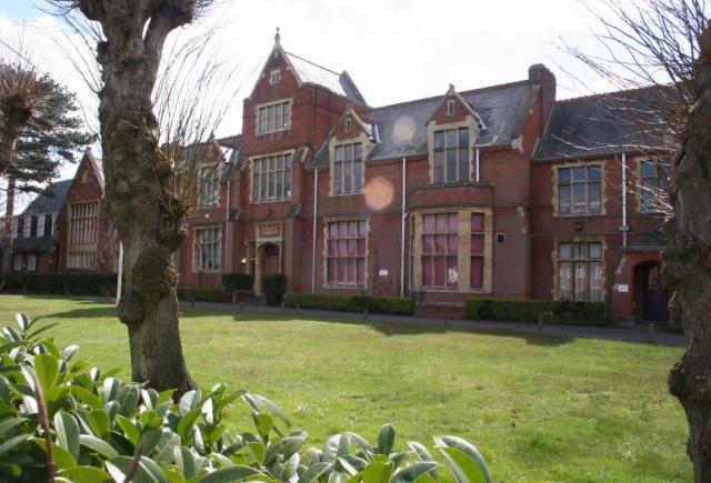
Park House School
Park House School is a secondary school in Newbury, Berkshire in the United Kingdom. It accepts students aged 11–18 and currently has approximately 1,300...
First Battle of Newbury
The First Battle of Newbury was a battle of the First English Civil War that was fought on 20 September 1643 between a Royalist army, under the personal...

Newbury College (England)
Newbury College is a college of further education in the southern outskirts of Newbury, Berkshire, England, for anyone aged 16 or over. == Courses == The...

Wash Common
Wash Common is a small suburb to the south of Newbury. It is built on the former Newbury Wash, which was flat open heathland overlooking Newbury, and until...

St Gabriel's School
St Gabriel's School is a private co-educational day school (Nursery, Junior School, Senior School & Sixth Form) located at Sandleford Priory in Sandleford...

Sandleford Priory (country house)
Sandleford Priory is a largely 18th century country house at Sandleford in the civil parish of Greenham in the English county of Berkshire. It incorporates...
Sandleford
Sandleford is a hamlet and former parish in the English county of Berkshire. Since at least 1924, the settlement has been within the civil parish of Greenham...
St Bartholomew's School
St. Bartholomew's School (known colloquially as St Bart's) has been a non-selective local comprehensive school since 1975. It is a co-educational state...
Nearby Amenities
Located within 500m of 51.379504,-1.3341351Have you been to Barn Copse?
Leave your review of Barn Copse below (or comments, questions and feedback).