Under Greave Wood

Wood, Forest in Yorkshire

England

Under Greave Wood

Wickersley Park A small suburban park & recreation ground.
Wickersley Park Credit: Graham Hogg

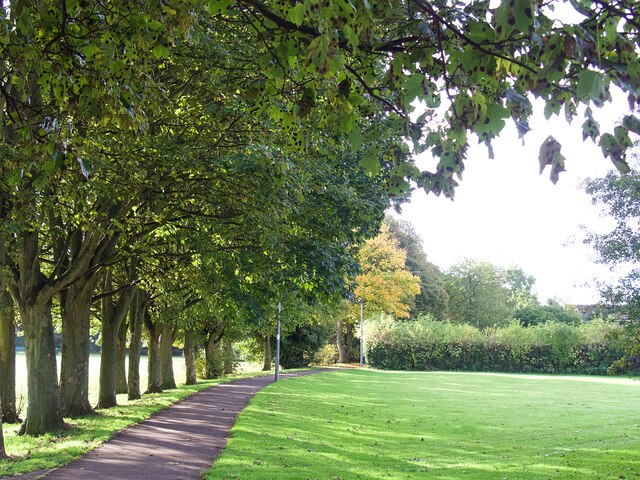
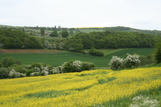
Under Greave Wood is a picturesque woodland located in Yorkshire, England. It covers an area of approximately 100 acres and is part of the larger Yorkshire Dales National Park. The wood is situated near the village of Under Greave, hence its name, and is known for its diverse range of flora and fauna.

The woodland is predominantly made up of deciduous trees, including oak, beech, and birch, which create a beautiful canopy during the summer months. The forest floor is adorned with a carpet of bluebells and wildflowers, adding to its enchanting beauty. The wood is also home to various species of birds, such as woodpeckers and tawny owls, making it a haven for birdwatchers.

Under Greave Wood offers a network of well-maintained footpaths, allowing visitors to explore its natural wonders. There are also picnic areas and benches strategically placed throughout the wood, providing a tranquil spot for visitors to relax and enjoy the peaceful surroundings.

The wood has a rich history, with evidence of human activity dating back to prehistoric times. Archaeological discoveries, such as ancient burial mounds and artifacts, have been found within the wood, adding to its cultural significance.

Under Greave Wood is a popular destination for nature enthusiasts, walkers, and families seeking an escape from the hustle and bustle of everyday life. Its serene atmosphere, combined with its natural beauty and historical significance, make it a truly remarkable woodland in the heart of Yorkshire.

If you have any feedback on the listing, please let us know in the comments section below.

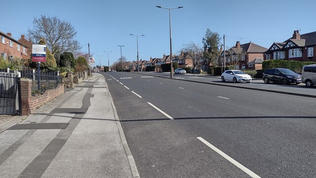
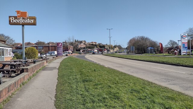
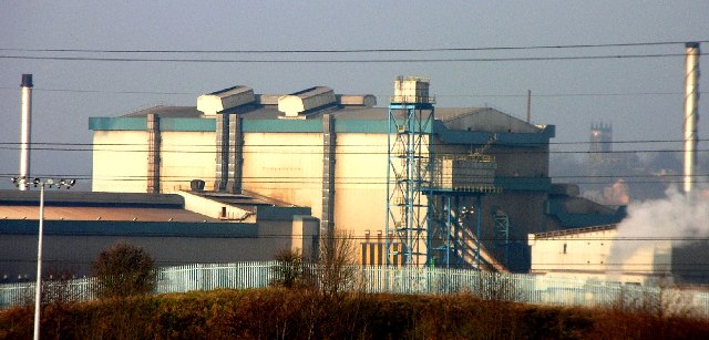
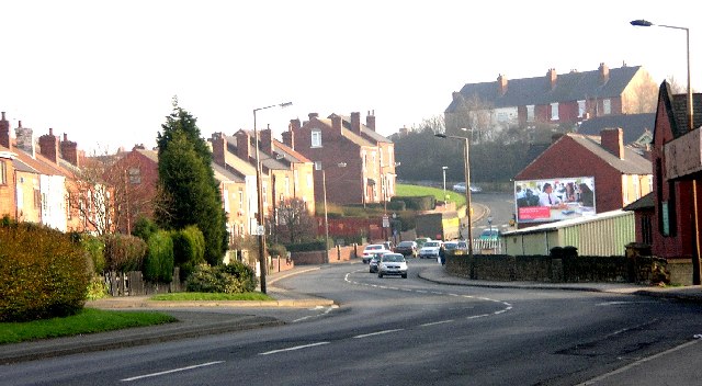
Under Greave Wood Images

Images are sourced within 2km of 53.433671/-1.3039836 or Grid Reference SK4693. Thanks to Geograph Open Source API. All images are credited.

Wickersley Park A small suburban park & recreation ground.
Wickersley Park
A small suburban park & recreation ground.
The Masons Arms Judging by the window decorations on entry you should turn left for Halloween and right for Christmas!
The Masons Arms
Judging by the window decorations on entry you should turn left for Halloween and right for Christmas!
Castle House, Bawtry Road Flying a skull & crossbones flag for some reason.
Castle House, Bawtry Road
Flying a skull & crossbones flag for some reason.
Autumnal tree on Moorlands
Old milestone This milestone in Dalton is now lost after a fire in 2018 at the premises behind the wall which was then demolished..
Old milestone
This milestone in Dalton is now lost after a fire in 2018 at the premises behind the wall which was then demolished..
East Bawtry Road East Bawtry Road heading up to the Wickersley Road roundabout
East Bawtry Road
East Bawtry Road heading up to the Wickersley Road roundabout
East Bawtry Road East Bawtry Road passing The Brecks Beefeater
East Bawtry Road
East Bawtry Road passing The Brecks Beefeater
Rotherham - Thrybergh, Oldgate Lane. Looking back towards Rotherham from Oldgate Lane in Thrybergh.
Rotherham - Thrybergh, Oldgate Lane.
Looking back towards Rotherham from Oldgate Lane in Thrybergh.
Rotherham Steelworks View of Parkgate steelworks from Oldgate Lane, Thrybergh.
Rotherham Steelworks
View of Parkgate steelworks from Oldgate Lane, Thrybergh.
Rotherham - Thrybergh, Oldgate Lane - looking east This view was taken from near the premises of Rotherham Bonding Company in Oldgate Lane, Thrybergh. Twenty five years ago this was the site of the famous Cash & Carry known as Fosters of Thrybergh.
Rotherham - Thrybergh, Oldgate Lane - looking east
This view was taken from near the premises of Rotherham Bonding Company in Oldgate Lane, Thrybergh. Twenty five years ago this was the site of the famous Cash & Carry known as Fosters of Thrybergh.
Thrybergh Sports & Social Club (Nr Rotherham) Thrybergh Sports & Social Club in Oldgate Lane.
Thrybergh Sports & Social Club (Nr Rotherham)
Thrybergh Sports & Social Club in Oldgate Lane.
Herringthorpe area of Rotherham This is the A6123 looking in the direction of Thrybergh, near Rotherham.
Herringthorpe area of Rotherham
This is the A6123 looking in the direction of Thrybergh, near Rotherham.
Rotherham, Herringthorpe area. View looking south towards Whiston on the A1623.
Rotherham, Herringthorpe area.
View looking south towards Whiston on the A1623.
Dalton Lane, Dalton Yippee! First day with a new Canon EOS350D, and guess what? It's raining :-( Ah well, a first bag in this square. The photo is taken from the end of Dalton Lane, Dalton, Rotherham with its junction with Doncaster Road. The view is looking East towards Whinney Hill. To the left (north) lies the River Don and the massive Corus Aldwarke steelworks.
Dalton Lane, Dalton
Yippee! First day with a new Canon EOS350D, and guess what? It's raining :-( Ah well, a first bag in this square. The photo is taken from the end of Dalton Lane, Dalton, Rotherham with its junction with Doncaster Road. The view is looking East towards Whinney Hill. To the left (north) lies the River Don and the massive Corus Aldwarke steelworks.
East Herringthorpe estate, Rotherham Same wet day as Dalton <a href="https://www.geograph.org.uk/gridref/SK4594">SK4594</a>, same area, but this time higher up the estate with the Corus Aldwarke steelworks in the distance, looking north.
East Herringthorpe estate, Rotherham
Same wet day as Dalton SK4594, same area, but this time higher up the estate with the Corus Aldwarke steelworks in the distance, looking north.
Fields at Dalton Parva Looking East from Dalton Parva, according to the OS map, there's a disused quarry in the bottom and several springs which originate in the area.
Fields at Dalton Parva
Looking East from Dalton Parva, according to the OS map, there's a disused quarry in the bottom and several springs which originate in the area.
Brecks Crescent Residential suburban Rotherham
Brecks Crescent
Residential suburban Rotherham
View from Brecks Lane Panoramic view of Rotherham from the high point on Brecks Lane
View from Brecks Lane
Panoramic view of Rotherham from the high point on Brecks Lane
Show me another place!

Under Greave Wood is located at Grid Ref: SK4693 (Lat: 53.433671, Lng: -1.3039836)

Division: West Riding

Unitary Authority: Rotherham

Police Authority: South Yorkshire

What 3 Words

///spits.ending.salsa. Near Whiston, South Yorkshire

Related Wikis

Dalton, South Yorkshire

Dalton is a civil parish in the Metropolitan Borough of Rotherham in South Yorkshire, England. Dalton is situated 162 miles (260.7 km) north from London...

Silverwood Colliery platform

Silverwood Colliery platform, the original, was a wooden railway platform built for John Brown's Private Railway in order to operate Paddy Mail trains...

Silverwood Colliery

Silverwood Colliery was a colliery situated between Thrybergh and Ravenfield in Yorkshire, England. Originally called Dalton Main, it was renamed after...

Thrybergh Tins railway station

Thrybergh Tins platform was a short platform built alongside the Great Central and Midland Joint Railway line between Thrybergh Junction, on the Great...

Brecks

Brecks is a suburb of Rotherham in South Yorkshire, England. It is situated roughly 2 miles from central Rotherham. Brecks borders the suburb Wickersley...

Thrybergh

Thrybergh is a village and civil parish in the Metropolitan Borough of Rotherham in South Yorkshire, England, 3 miles (4.8 km) from Rotherham. It had...

Aldwarke

Aldwarke is an industrial area in South Yorkshire, England. It is in the Eastern suburbs of Rotherham. Aldwarke is east of the neighbouring suburb of Parkgate...

Thrybergh Academy

Thrybergh Academy is a coeducational secondary school located in Thrybergh, South Yorkshire, England. The school was founded as a secondary modern school...

Nearby Amenities

Located within 500m of 53.433671,-1.3039836
Bus Stop
Hill Top Lane/Dean Lane
Alt Name: Hill Top Lane/Dean Lane
Naptan AltCommonName: Hill Top Lane/Dean Lane
Naptan AtcoCode: 370030428
Naptan Bearing: N
Naptan CommonName: Hill Top Lane/Dean Lane
Naptan Indicator: 30428
Naptan Landmark: 30428
Naptan PlusbusZoneRef: ROTHCEN
Naptan Street: Hill Top Lane
Naptan Verified: no
Source: naptan_import
Lat/Long: 53.4333328/-1.2984436
Bus Stop
Far Dalton Lane/Hill Top Lane
Naptan AtcoCode: 370030429
Naptan Bearing: S
Naptan CommonName: Far Dalton Lane/Hill Top Lane
Naptan Indicator: 30429
Naptan Landmark: Z BENDS
Naptan PlusbusZoneRef: ROTHCEN
Naptan Street: Far Dalton Lane
Naptan Verified: no
Source: naptan_import
Lat/Long: 53.4337578/-1.2988009
Bus Stop
Far Dalton Lane/Chesterhill Quarry
Naptan AtcoCode: 370030431
Naptan Bearing: N
Naptan CommonName: Far Dalton Lane/Chesterhill Quarry
Naptan Indicator: 30431
Naptan Landmark: REDBRICK HOUSE
Naptan PlusbusZoneRef: ROTHCEN
Naptan Street: Far Dalton Lane
Naptan Verified: no
Source: naptan_import
Lat/Long: 53.4365012/-1.3006146
Bench
Backrest: yes
Lat/Long: 53.4330888/-1.2986652
Post Box
Collection Times: Mo-Fr 09:00; Sa 07:00
Post Box Type: lamp
Ref: S65 42
Royal Cypher: EIIR
Royal Cypher Wikidata: Q33102113
Lat/Long: 53.4332475/-1.2985288
Grit Bin
Lat/Long: 53.4333409/-1.2984259
Post Box
Comment: appears to be a private box.
Lat/Long: 53.433868/-1.299031
Barrier: stile
Lat/Long: 53.4373393/-1.3005857
Dalton Magna
Place: village
Lat/Long: 53.4329209/-1.2997435
The data included in this document is from www.openstreetmap.org. The data is made available under ODbL.

Have you been to Under Greave Wood?

Leave your review of Under Greave Wood below (or comments, questions and feedback).