Badminston Plantation

Wood, Forest in Hampshire New Forest

England

Badminston Plantation

Cereal crop and pylon off Lepe Road
Cereal crop and pylon off Lepe Road Credit: JThomas

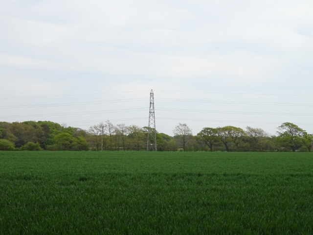
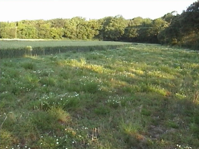
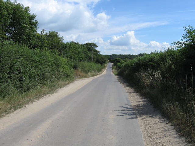
Badminston Plantation is a picturesque woodland located in Hampshire, England. Situated near the village of Wood, the plantation covers a vast area of forested land, offering visitors a tranquil and serene environment to explore.

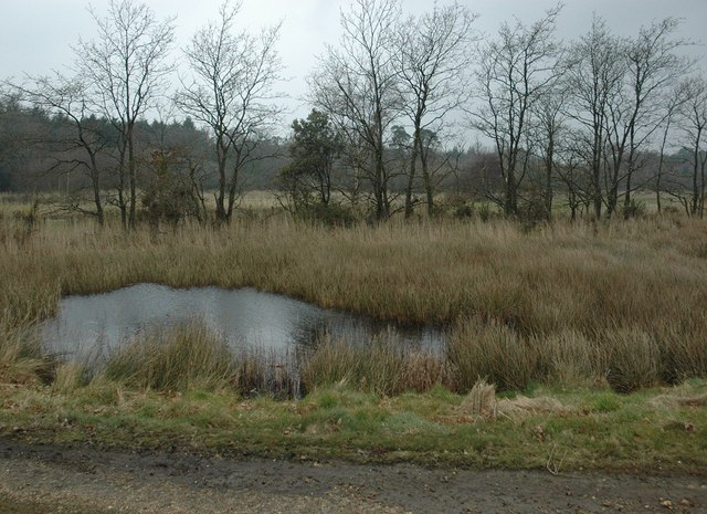
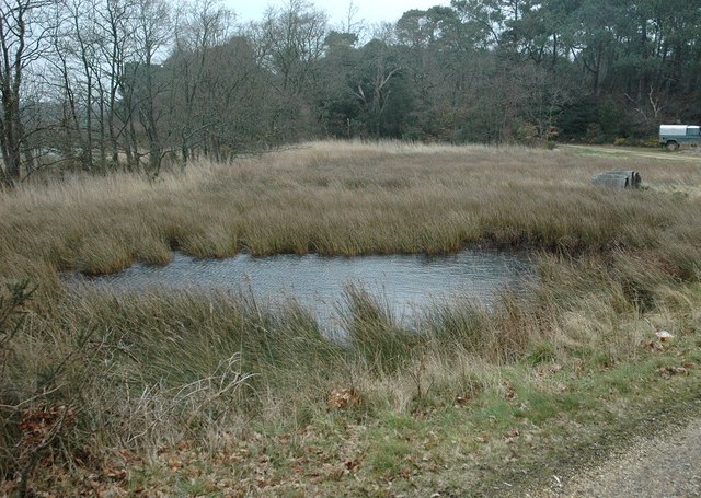
The woodland is known for its diverse array of trees, including oak, beech, and birch, which create a lush and vibrant canopy overhead. These trees provide a habitat for a variety of wildlife, including birds, squirrels, and deer, making Badminston Plantation a popular spot for nature enthusiasts and birdwatchers.

The plantation is crisscrossed with a network of well-maintained walking trails, allowing visitors to easily navigate the forest and take in its natural beauty. These paths range in difficulty, accommodating everyone from casual strollers to avid hikers. Along the way, visitors can enjoy the sight of wildflowers, moss-covered rocks, and babbling brooks, adding to the enchanting atmosphere of the woodland.

Badminston Plantation is also home to a number of historical features. The remnants of an old ironworks can be found within the woodland, serving as a reminder of the area's industrial past. Additionally, there are several information boards scattered throughout the plantation, providing visitors with interesting facts about the local flora and fauna, as well as the history of the area.

Overall, Badminston Plantation offers a peaceful and idyllic escape from the hustle and bustle of everyday life. With its diverse ecosystem, well-maintained trails, and historical significance, it is a must-visit destination for nature lovers and history enthusiasts alike.

If you have any feedback on the listing, please let us know in the comments section below.

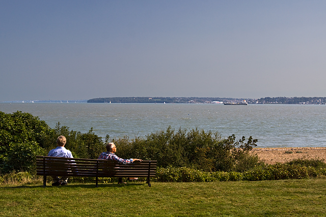
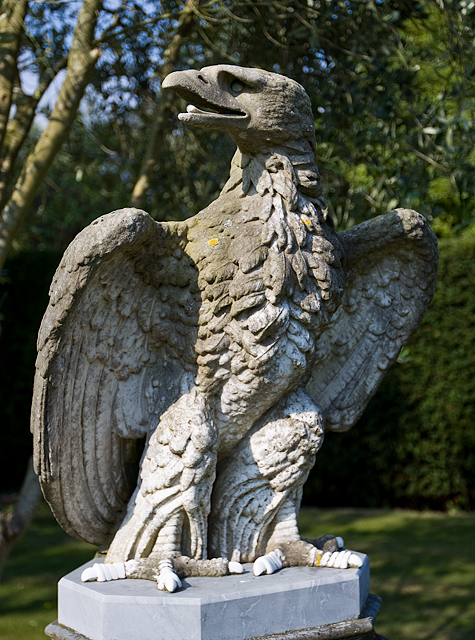
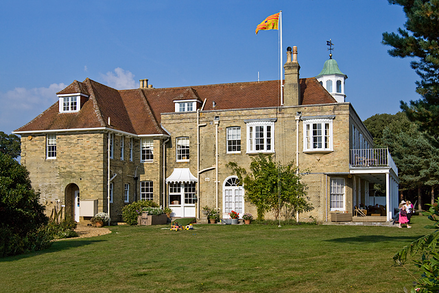
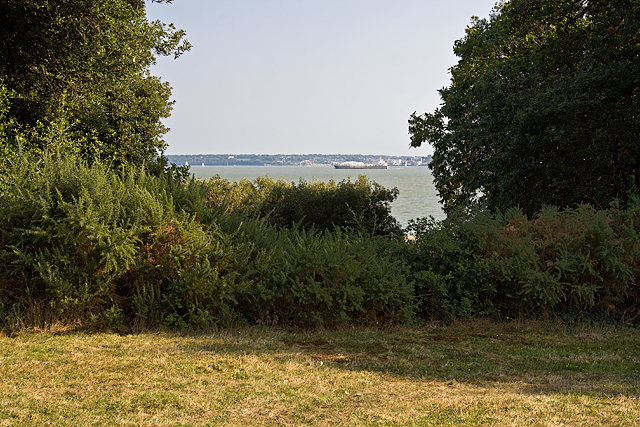
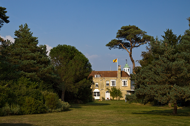
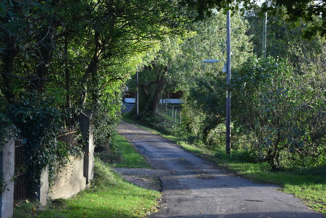
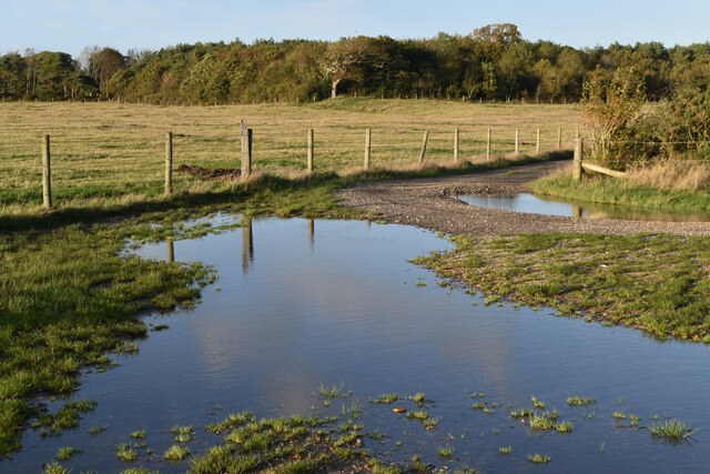
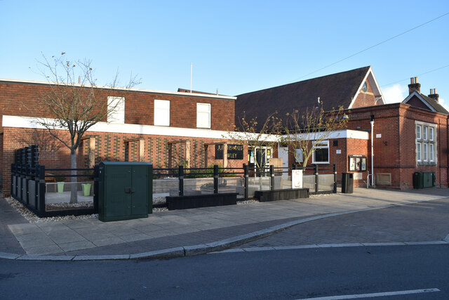
Badminston Plantation Images

Images are sourced within 2km of 50.810864/-1.3438815 or Grid Reference SU4601. Thanks to Geograph Open Source API. All images are credited.

Cereal crop and pylon off Lepe Road
Beach This is a view of Nelsons Place, from the Cadland House Beach.
Beach
This is a view of Nelsons Place, from the Cadland House Beach.
Beach. A view of the Beach in front of The Cadland House.
Beach.
A view of the Beach in front of The Cadland House.
Stanswood On the Cadland Estate.
Stanswood
On the Cadland Estate.
Stanswood Road, Lepe
Pond, Juggler's Moor, Stanswood A small pond at the seaward end of Juggler's Moor. It is mostly fed by the adjacent stream, but is weakly saline, suggesting percolation of salt water through the shingle.
Pond, Juggler's Moor, Stanswood
A small pond at the seaward end of Juggler's Moor. It is mostly fed by the adjacent stream, but is weakly saline, suggesting percolation of salt water through the shingle.
Cadland House & Gardens Heritage Open Day (1) The present day Cadland House was the centrepiece of this 2014 Heritage Open Day event that saw the historic pleasure grounds surrounding the house open to the public. Wealthy banker Robert Drummond, senior partner of Drummond's Bank acquired the manor of Cadland in 1772. In c1775 he commissioned the building of the original Cadland House 5 miles to the north, as well as a fishing lodge here called Boarn Hill Cottage. Both were designed by Henry Holland, together with the pleasure grounds that were laid out by his father-in-law Lancelot (Capability) Brown. 

The original Cadland House was demolished in 1953, whilst the present day Cadland House has evolved over the years from Boarn Hill Cottage, the simple Cottage Orné fishing lodge that once stood here. The views of the Solent from the terrace of the house are quite outstanding. The pleasure grounds are an unusual example of Capability Brown's work in that they are a miniature version of a pattern on a much larger scale used by him elsewhere, with perimeter belts, sheltered walk circuits, clumps, and scattered tree planting.
Cadland House & Gardens Heritage Open Day (1)
The present day Cadland House was the centrepiece of this 2014 Heritage Open Day event that saw the historic pleasure grounds surrounding the house open to the public. Wealthy banker Robert Drummond, senior partner of Drummond's Bank acquired the manor of Cadland in 1772. In c1775 he commissioned the building of the original Cadland House 5 miles to the north, as well as a fishing lodge here called Boarn Hill Cottage. Both were designed by Henry Holland, together with the pleasure grounds that were laid out by his father-in-law Lancelot (Capability) Brown. The original Cadland House was demolished in 1953, whilst the present day Cadland House has evolved over the years from Boarn Hill Cottage, the simple Cottage Orné fishing lodge that once stood here. The views of the Solent from the terrace of the house are quite outstanding. The pleasure grounds are an unusual example of Capability Brown's work in that they are a miniature version of a pattern on a much larger scale used by him elsewhere, with perimeter belts, sheltered walk circuits, clumps, and scattered tree planting.
Cadland House & Gardens Heritage Open Day (2) Admiring the view of the Solent. Taken from the terrace of Cadland House.
Cadland House & Gardens Heritage Open Day (2)
Admiring the view of the Solent. Taken from the terrace of Cadland House.
Cadland House & Gardens Heritage Open Day (3) A plinth with a statue of an eagle in the pleasure grounds.
Cadland House & Gardens Heritage Open Day (3)
A plinth with a statue of an eagle in the pleasure grounds.
Cadland House & Gardens Heritage Open Day - detail (4)
Cadland House & Gardens Heritage Open Day (5) The present day Cadland House, west front.
Cadland House & Gardens Heritage Open Day (5)
The present day Cadland House, west front.
Cadland House & Gardens Heritage Open Day (6) One of the vistas or 'Peeps' of the Solent created in the landscaping of the pleasure grounds.
Cadland House & Gardens Heritage Open Day (6)
One of the vistas or 'Peeps' of the Solent created in the landscaping of the pleasure grounds.
Cadland House & Gardens Heritage Open Day (7) A view of Cadland House on the return leg of the Perimeter Walk.
Cadland House & Gardens Heritage Open Day (7)
A view of Cadland House on the return leg of the Perimeter Walk.
Chapel Lane, Fawley
Chapel Lane, Fawley
Flooded track junction south of Fawley village
The Jubilee Hall, Fawley
New Forest School, Fawley
Show me another place!

Badminston Plantation is located at Grid Ref: SU4601 (Lat: 50.810864, Lng: -1.3438815)

Administrative County: Hampshire

District: New Forest

Police Authority: Hampshire

What 3 Words

///glory.takeover.dancer. Near Hamble-le-Rice, Hampshire

Related Wikis

Ashlett

Ashlett is a small settlement in Hampshire, England. It is in the civil parish of Fawley. It is at the end of Ashlett Creek, a tidal inlet of Southampton...

Fawley Power Station

Fawley Power Station was an oil-fired power station located on the western side of Southampton Water, between the villages of Fawley and Calshot in Hampshire...

Luttrell's Tower

Luttrell's Tower is a three-storey stuccoed yellow brick folly south of Southampton, Hampshire, England, near the village of Calshot. It has a six-storey...

Calshot

Calshot is a coastal village in Hampshire, England, at the west corner of Southampton Water where it joins the Solent. == History == In 1539, Henry VIII...

Langley, Hampshire

Langley is a small village in the civil parish of Fawley in Hampshire, England. == History == The name Langley means "long wood/clearing". Langley is listed...

Fawley, Hampshire

Fawley is a village and civil parish in Hampshire, England. It is situated in the New Forest on the western shore of the Solent, approximately 7 miles...

Calshot Marshes

Calshot Marshes is a 51.1-hectare (126-acre) Local Nature Reserve near Calshot, at the junction of The Solent and Southampton Water in Hampshire. It is...

Blackfield, Hampshire

Blackfield is a village in Hampshire, England. It is within the parish of Fawley, which is part of the ward of Fawley, Blackfield and Langley. == Schools... ==

Nearby Amenities

Located within 500m of 50.810864,-1.3438815
Barrier: kissing_gate
Foot: yes
Lat/Long: 50.810495/-1.3387152
Barrier: kissing_gate
Foot: yes
Lat/Long: 50.8115545/-1.3412807
Barrier: stile
Foot: yes
Lat/Long: 50.8121444/-1.3472615
Barrier: stile
Foot: yes
Lat/Long: 50.8135519/-1.3472275
Barrier: block
Lat/Long: 50.8146334/-1.3401151
Sprat's Down
Place: hamlet
Lat/Long: 50.8125594/-1.3382838
Barrier: stile
Lat/Long: 50.8100808/-1.3497022
Post Box
Collection Times: Mo-Fr 16:00; Sa 07:30
Operator: Royal Mail
Operator Wikidata: Q638098
Post Box Type: lamp
Ref: SO45 58
Royal Cypher: EIIR
Royal Cypher Wikidata: Q33102113
Lat/Long: 50.8142639/-1.3399174
Barrier: stile
Foot: yes
Lat/Long: 50.8145999/-1.3401258
Floating Island
Place: locality
Lat/Long: 50.8070952/-1.341899
Information: guidepost
Material: wood
Tourism: information
Lat/Long: 50.813428/-1.3447984
Information: guidepost
Material: wood
Tourism: information
Lat/Long: 50.811585/-1.3412881
Information: guidepost
Material: wood
Tourism: information
Lat/Long: 50.8125737/-1.3434584
The data included in this document is from www.openstreetmap.org. The data is made available under ODbL.

Have you been to Badminston Plantation?

Leave your review of Badminston Plantation below (or comments, questions and feedback).