Barton Bushes
Wood, Forest in Oxfordshire West Oxfordshire
England
Barton Bushes

Barton Bushes, located in Oxfordshire, is a charming woodland area known for its picturesque beauty and diverse flora and fauna. Spanning over a vast expanse, this forested region offers a tranquil escape from the bustling city life of Oxford.
The woodland is primarily composed of mixed deciduous trees, including oak, beech, and birch, which provide a dense canopy and create a serene atmosphere. The forest floor is adorned with a carpet of mosses, ferns, and wildflowers, adding to the enchanting ambiance of the area. Barton Bushes is also home to various species of birds, such as woodpeckers, owls, and thrushes, making it a haven for birdwatchers and nature enthusiasts alike.
The woodland attracts hikers, joggers, and dog walkers who can explore the numerous trails that crisscross the area. These paths wind through the forest, leading visitors to hidden clearings, babbling streams, and secluded picnic spots. The forest is well-maintained, with designated picnic areas and benches scattered throughout, providing ample opportunities to relax and soak in the natural surroundings.
Barton Bushes is a popular destination for educational visits and school trips, allowing children to learn about the local ecosystem and the importance of conservation. The forest also hosts various events throughout the year, including guided nature walks, photography workshops, and wildlife observation activities.
In summary, Barton Bushes in Oxfordshire is a stunning woodland retreat offering a peaceful environment, diverse wildlife, and ample recreational opportunities. It is a must-visit destination for nature lovers and those seeking a respite from urban life.
If you have any feedback on the listing, please let us know in the comments section below.
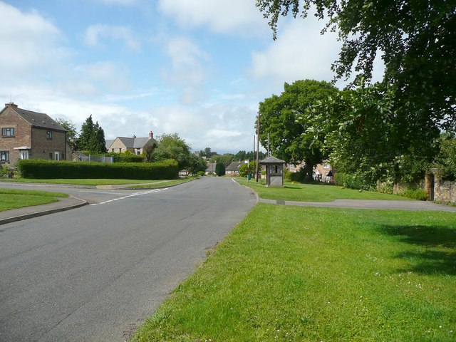
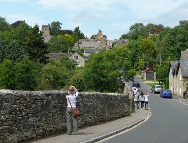
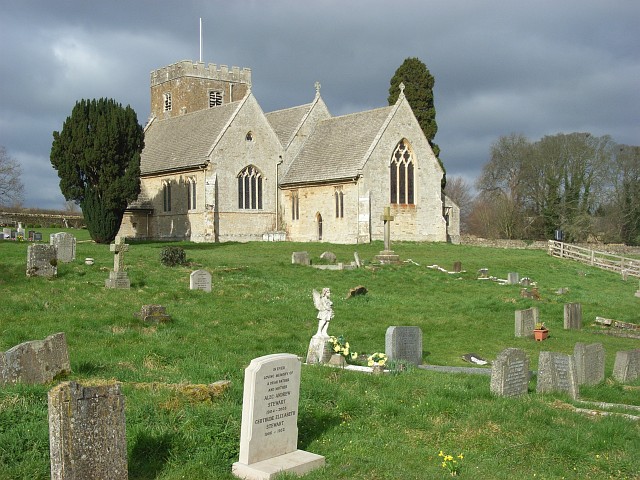
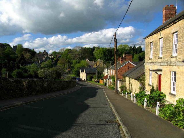
Barton Bushes Images
Images are sourced within 2km of 51.92647/-1.3314556 or Grid Reference SP4625. Thanks to Geograph Open Source API. All images are credited.


Barton Bushes is located at Grid Ref: SP4625 (Lat: 51.92647, Lng: -1.3314556)
Administrative County: Oxfordshire
District: West Oxfordshire
Police Authority: Thames Valley
What 3 Words
///outraged.static.latched. Near Somerton, Oxfordshire
Nearby Locations
Related Wikis
Steeple Barton
Steeple Barton is a civil parish and scattered settlement on the River Dorn in West Oxfordshire, about 8+1⁄2 miles (13.7 km) east of Chipping Norton, a...
Steeple Aston
Steeple Aston is a village and civil parish on the edge of the Cherwell Valley, in the Cherwell District of Oxfordshire, England, about 12 miles (19 km...
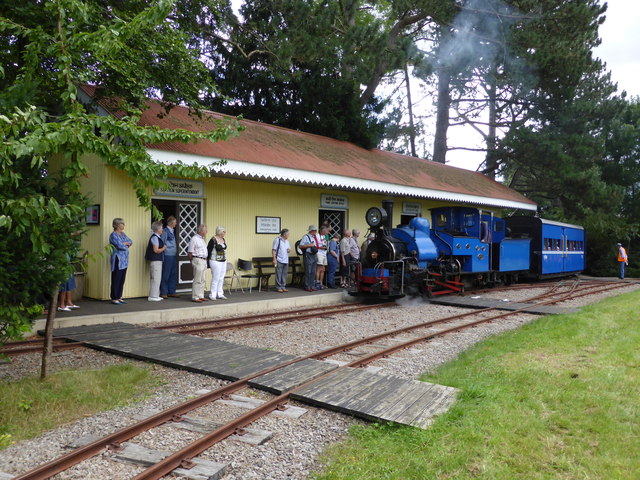
Beeches Light Railway
The Beeches Light Railway was a private narrow gauge railway in Steeple Aston, Oxfordshire, England, in the garden of the late Adrian Shooter, the former...

Horsehay Quarries
Horsehay Quarries is a 8.4-hectare (21-acre) geological Site of Special Scientific Interest west of Bicester in Oxfordshire. It is a Geological Conservation...

Horsehay Sand Formation
The Horsehay Sand Formation is a geological formation in England. Part of the Great Oolite Group, it was deposited in the Bajocian to Bathonian stages...
Barton Abbey
Barton Abbey is a privately owned house in Oxfordshire, England located in the parish of Steeple Barton. Parts of the building date from the 16th Century...
Middle Aston
Middle Aston is a hamlet and civil parish in the English county of Oxfordshire, about 7 miles (11 km) northwest of Bicester. It used to have a country...

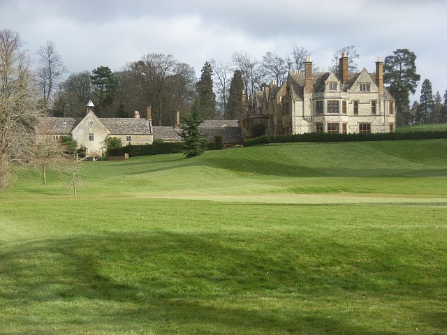
Rousham House
Rousham House (also known as Rousham Park) is a country house at Rousham in Oxfordshire, England. The house, which has been continuously in the ownership...
Related Videos
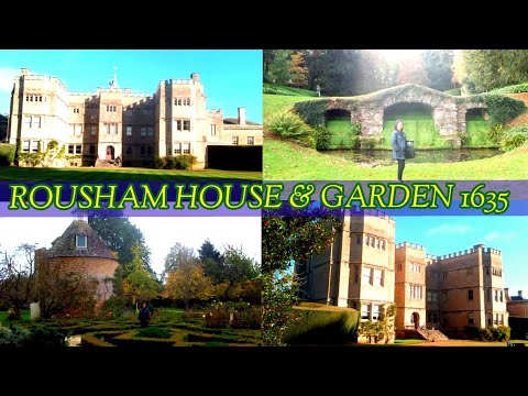
ENGLAND'S ROUSHAM HOUSE & GARDEN PART 2 / WALKING AROUND 18TH CENTURY ENGLISH GARDEN by WILLIAM KENT
Walking around Rousham House & Garden on a beautiful weather. Admiring the work of William Kent. 18th century English ...
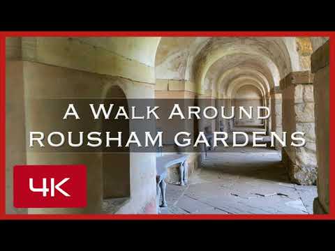
Walk with us around Rousham Gardens in the Cotswolds Oxfordshire England. Walled garden & dovecote.
A walk around Rousham Gardens in the Cotswolds Oxfordshire England. See the dovecote, walled garden and Dahlias. See what ...

Road Trip UK 🇬🇧 | Banbury To Steeple Aston (UK) | Raw Footage | Via A4260 Oxford Road | Countryside
steepleaston #banbury #oxfordshire #countryroad #roadtripuk #ukroadtrip #drivingintheuk #universalitydriving ...

Rousham House & Gardens
The beautiful Rousham House Gardens (near Bicester/Chipping Norton, England) are open to the public daily. No children or ...
Nearby Amenities
Located within 500m of 51.92647,-1.3314556Have you been to Barton Bushes?
Leave your review of Barton Bushes below (or comments, questions and feedback).