Windbolts Hill Plantation
Wood, Forest in Hampshire Basingstoke and Deane
England
Windbolts Hill Plantation

Windbolts Hill Plantation is a historic estate located in Hampshire, England. Situated in the picturesque Wood, Forest area, the plantation covers a vast area of land and is renowned for its natural beauty and rich history.
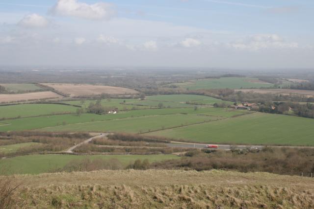
The plantation dates back to the 18th century and was originally established as a working farm. Over the years, it has transformed into a sprawling estate with a combination of agricultural land, woodland, and meadows. The main feature of the plantation is the majestic Windbolts Hill, which offers stunning panoramic views of the surrounding countryside.
The estate is home to a diverse range of flora and fauna, making it a haven for nature enthusiasts and wildlife lovers. Ancient oak trees, beech groves, and wildflower meadows dot the landscape, creating a tranquil and idyllic setting. The plantation also boasts a variety of wildlife habitats, providing shelter to a wide array of species, including birds, deer, and small mammals.
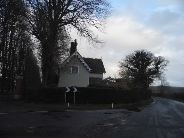
In addition to its natural beauty, Windbolts Hill Plantation has a rich cultural heritage. The estate features a grand manor house, which was constructed in the Georgian style and showcases exquisite architectural details. The house has been meticulously preserved and offers a glimpse into the past, with its elegant interiors and period furnishings.
Today, Windbolts Hill Plantation continues to enchant visitors with its combination of natural splendor and historical significance. It offers a range of activities, including guided walks, wildlife spotting, and picnicking, making it a popular destination for families and outdoor enthusiasts alike.
If you have any feedback on the listing, please let us know in the comments section below.
Windbolts Hill Plantation Images
Images are sourced within 2km of 51.32611/-1.3403333 or Grid Reference SU4658. Thanks to Geograph Open Source API. All images are credited.


Windbolts Hill Plantation is located at Grid Ref: SU4658 (Lat: 51.32611, Lng: -1.3403333)
Administrative County: Hampshire
District: Basingstoke and Deane
Police Authority: Hampshire
What 3 Words
///diverged.dragon.presides. Near Highclere, Hampshire
Nearby Locations
Related Wikis

Whitway
Whitway is a hamlet in the civil parish of Burghclere in the Basingstoke and Deane district of Hampshire, England. Its nearest town is Newbury, which lies...

Burghclere railway station
Burghclere railway station (originally named Sydmonton) was a station on the Didcot, Newbury and Southampton Railway in England. It was further from the...

Highclere Castle
Highclere Castle is a Grade I listed country house built in 1679 and largely renovated in the 1840s, with a park designed by Capability Brown in the 18th...
Beacon Hill, Burghclere, Hampshire
There are two hills in Hampshire called Beacon Hill; the other one is near Warnford.Beacon Hill is near the village of Burghclere and Watership Down, in...
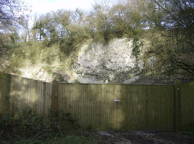
Duncroft Farm Pit
Duncroft Farm Pit is a 0.1-hectare (0.25-acre) geological Site of Special Scientific Interest west of Kingsclere in Hampshire. It is a Geological Conservation...

Highclere Park
Highclere Park is a 69.6-hectare (172-acre) biological Site of Special Scientific Interest east of Highclere in Hampshire. It is the park of Highclere...
Old Burghclere Lime Quarry
Old Burghclere Lime Quarry SSSI is a 4.61 ha (11.4 acres) biological Site of Special Scientific Interest at Burghclere in Hampshire, notified in 1979....
Old Burghclere
Old Burghclere is part of Burghclere in Hampshire, England, located south of the large town of Newbury near the A34 road. The village of Burghclere, but...
Nearby Amenities
Located within 500m of 51.32611,-1.3403333Have you been to Windbolts Hill Plantation?
Leave your review of Windbolts Hill Plantation below (or comments, questions and feedback).