Castle Wood
Wood, Forest in Derbyshire Bolsover
England
Castle Wood
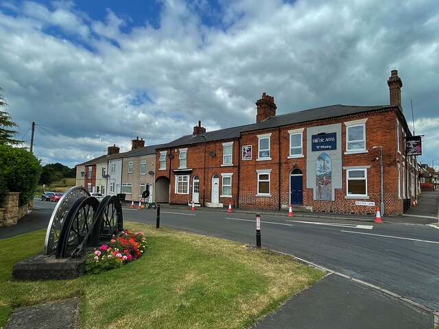
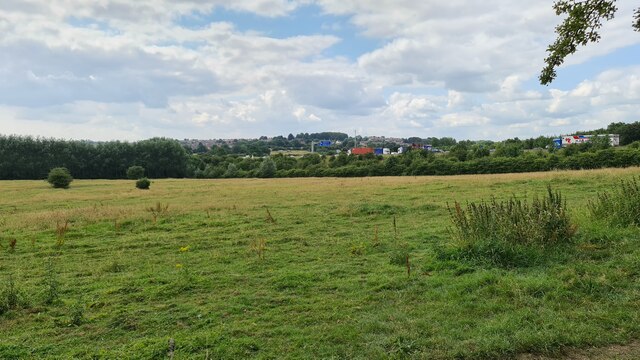
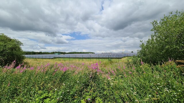
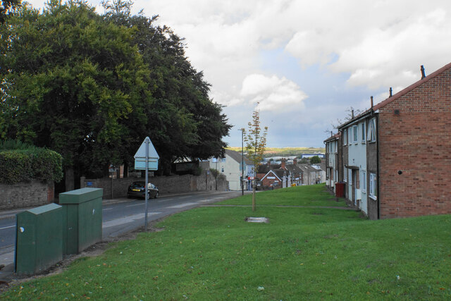
Castle Wood is a picturesque forest located in Derbyshire, England. It covers an area of approximately 500 acres and is renowned for its natural beauty and historical significance. The wood is situated near the village of Castle Donington and is easily accessible to visitors.
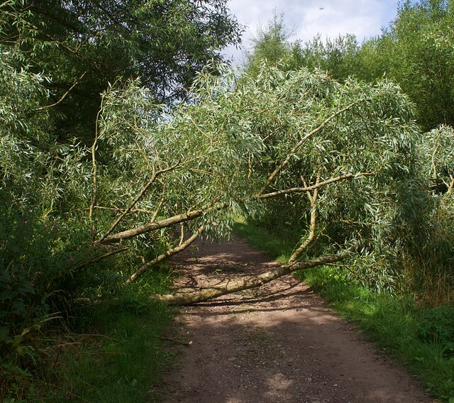
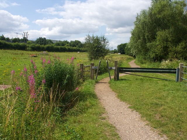
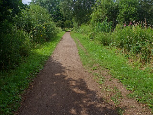
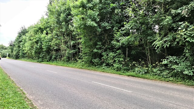
The forest boasts a diverse range of flora and fauna, making it an ideal destination for nature enthusiasts. Towering oak and beech trees dominate the landscape, creating a captivating canopy that provides shade and shelter for various wildlife species. Visitors can expect to encounter a variety of birds, including woodpeckers, owls, and thrushes, as well as small mammals like squirrels and rabbits.
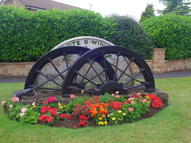
The wood's historical significance can be traced back to the medieval era when it served as a hunting ground for the local nobility. The remnants of Castle Donington Castle, a 13th-century fortified manor house, can still be found within the wood's boundaries. These ruins offer a glimpse into the area's rich past and provide a unique backdrop for exploration.
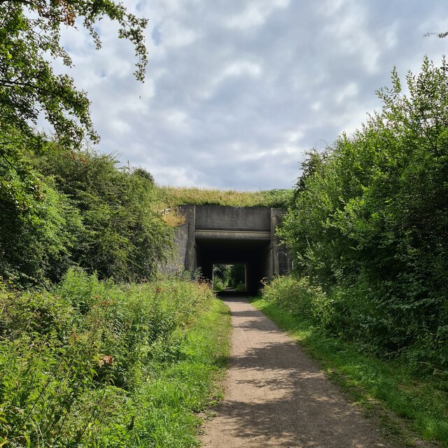
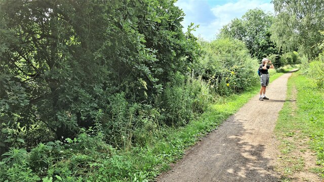
Castle Wood offers a network of well-maintained walking trails, allowing visitors to immerse themselves in the tranquil surroundings. The paths wind their way through the forest, offering glimpses of enchanting glades and babbling brooks along the way. The wood is a popular destination for hikers, dog walkers, and families seeking a peaceful retreat.
Overall, Castle Wood in Derbyshire is a captivating destination that combines natural beauty with historical charm. Its lush forests, diverse wildlife, and ancient ruins make it a must-visit location for those seeking a connection with nature and a glimpse into the region's past.
If you have any feedback on the listing, please let us know in the comments section below.
Castle Wood Images
Images are sourced within 2km of 53.107149/-1.3149858 or Grid Reference SK4556. Thanks to Geograph Open Source API. All images are credited.

Castle Wood is located at Grid Ref: SK4556 (Lat: 53.107149, Lng: -1.3149858)
Administrative County: Derbyshire
District: Bolsover
Police Authority: Derbyshire
What 3 Words
///marine.spit.nightcap. Near Blackwell, Derbyshire
Nearby Locations
Related Wikis

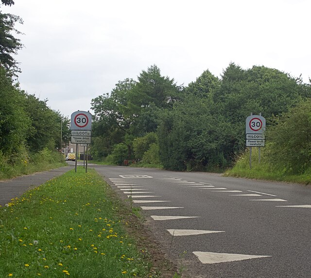
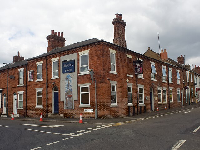
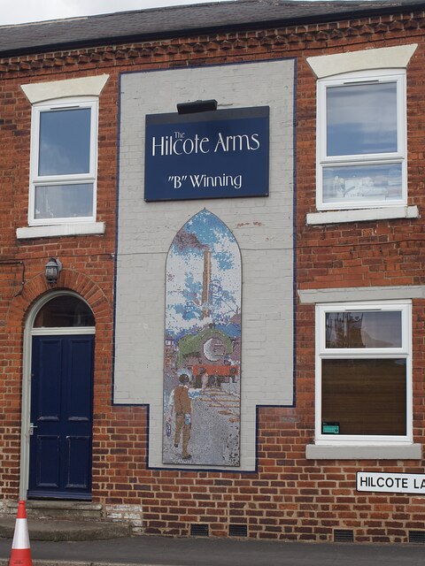
Hilcote
Hilcote is a small village in the south of the Bolsover district in Derbyshire, England, located close to the A38 junction with the M1 (Junction 28). The...

Frederick Gent School
The Frederick Gent Comprehensive School is a co-educational secondary school located on Mansfield Road (B6019) in South Normanton in the Bolsover district...

Pinxton
Pinxton is a village and civil parish in Derbyshire on the western boundary of Nottinghamshire, England, just south of the Pinxton Interchange at Junction...

South Normanton
South Normanton is a village and civil parish in the Bolsover District of Derbyshire, England. The population at the 2011 Census was 9,445. An ex-mining...
South Normanton F.C.
South Normanton Football Club was a football club based in South Normanton, Derbyshire. == History == The club was formed as a feeder club of South Normanton...
South Normanton Athletic F.C.
South Normanton Athletic Football Club is a football club based in South Normanton, near Alfreton, Derbyshire, England. They play at Lees Lane. == History... ==

Huthwaite
Huthwaite is a village in Nottinghamshire, England, located to the west of Mansfield, close to the Derbyshire boundary. It is in the Huthwaite and Brierley...
Pinxton and Selston railway station
Pinxton and Selston railway station served the villages of Pinxton, Derbyshire and Selston, Nottinghamshire. It was located on the Midland Railway's Mansfield...
Nearby Amenities
Located within 500m of 53.107149,-1.3149858Have you been to Castle Wood?
Leave your review of Castle Wood below (or comments, questions and feedback).