Drabblegate

Settlement in Norfolk Broadland

England

Drabblegate

St Lawrence's church, Ingworth
St Lawrence's church, Ingworth Credit: Helen Steed

Drabblegate is a small village located in the county of Norfolk, England. Situated approximately 10 miles south of the city of Norwich, it falls within the district of South Norfolk. With a population of around 500 residents, Drabblegate is a tight-knit community known for its rural charm and picturesque landscapes.

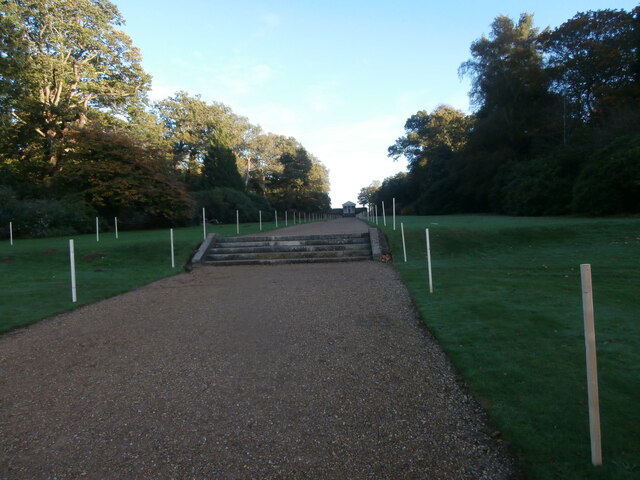
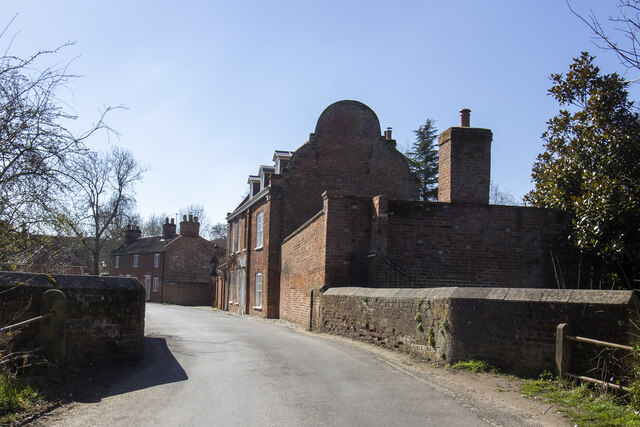
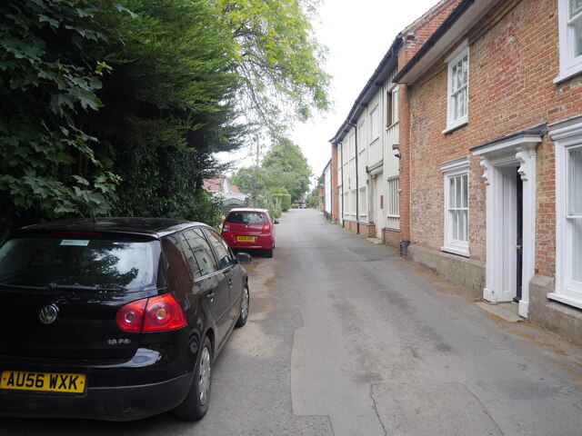
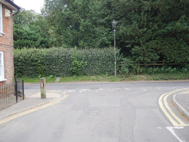
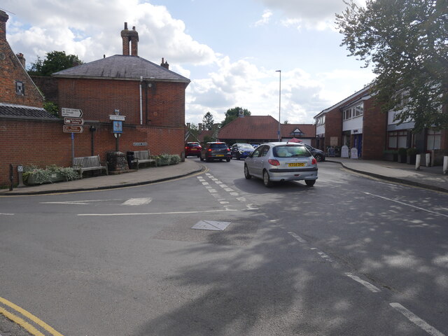
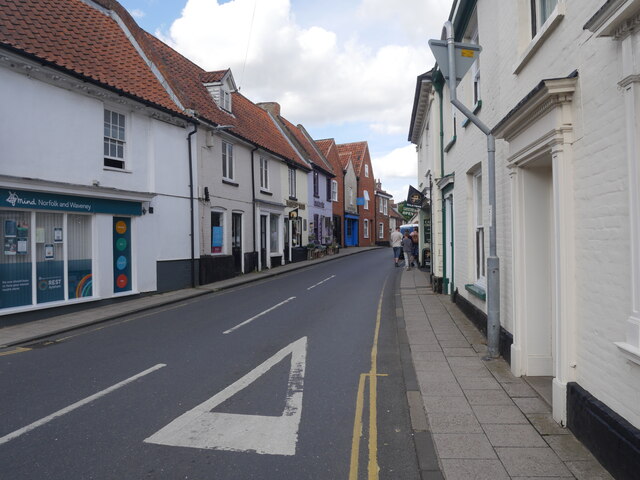
The village is surrounded by lush countryside, featuring rolling hills, meandering rivers, and ancient woodland. It offers a tranquil and peaceful atmosphere, making it an ideal place for those seeking an escape from the hustle and bustle of city life. The village is dotted with traditional thatched cottages and historic buildings, showcasing its rich historical heritage.

Drabblegate boasts a close-knit community spirit, with various social events and activities organized throughout the year. The village has a local pub, The Drabblegate Arms, which serves as a gathering place for both locals and visitors alike. Additionally, the village hall hosts regular events such as craft fairs, community meetings, and seasonal celebrations.

For outdoor enthusiasts, Drabblegate offers ample opportunities for exploration. The surrounding countryside provides numerous walking and cycling trails, allowing visitors to immerse themselves in the stunning natural beauty of the area. The nearby River Waveney is also a popular spot for boating and fishing.

Overall, Drabblegate is a charming village that exudes traditional English countryside charm. Its idyllic setting, strong sense of community, and natural beauty make it a hidden gem in the heart of Norfolk.

If you have any feedback on the listing, please let us know in the comments section below.
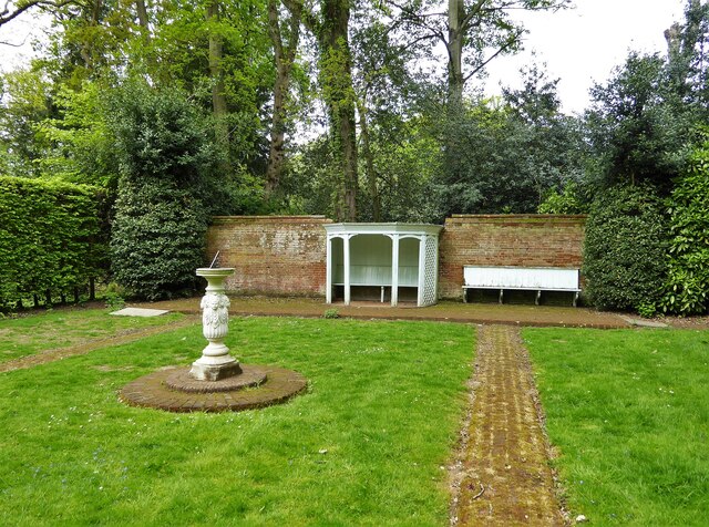
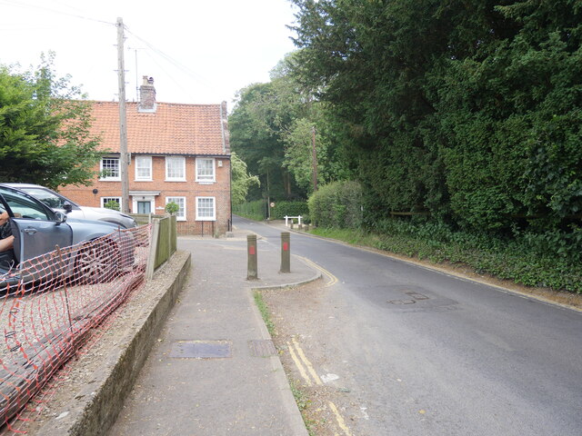
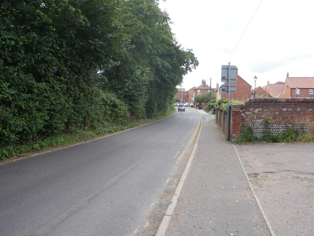
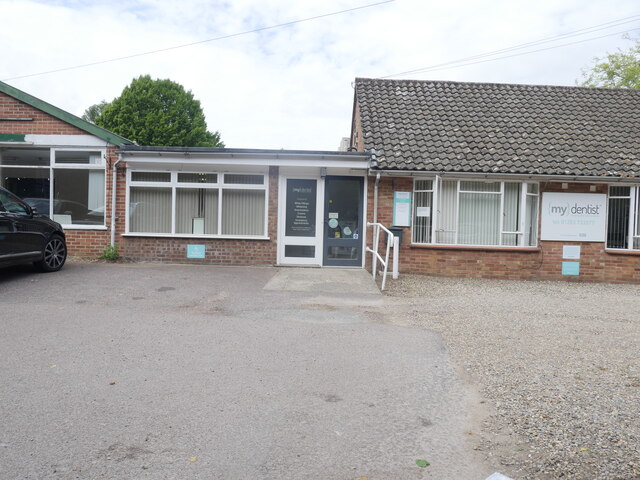
Drabblegate Images

Images are sourced within 2km of 52.805124/1.26072 or Grid Reference TG1928. Thanks to Geograph Open Source API. All images are credited.

St Lawrence's church, Ingworth
View towards the Temple, Blickling Hall 'This building is first mentioned in 1738 but it was probably built some 10 years before. ... The temple was built in the Doric style and is the highlight of an impressive vista down to the house.' <span class="nowrap"><a title="https://www.nationaltrust.org.uk/blickling-estate/features/discover-the-gardens-at-blickling-estate" rel="nofollow ugc noopener" href="https://www.nationaltrust.org.uk/blickling-estate/features/discover-the-gardens-at-blickling-estate">Link</a><img style="margin-left:2px;" alt="External link" title="External link - shift click to open in new window" src="https://s1.geograph.org.uk/img/external.png" width="10" height="10"/></span> In this view the vista is the other way, towards the temple and away from the house.
View towards the Temple, Blickling Hall
'This building is first mentioned in 1738 but it was probably built some 10 years before. ... The temple was built in the Doric style and is the highlight of an impressive vista down to the house.' LinkExternal link In this view the vista is the other way, towards the temple and away from the house.
The Bridge House
The Bridge House
Market Place
Market Place
Aylsham: Storage area for railway requisites
A hidden garden In the Wilderness Gardens of the Blickling Estate is a small formal area with garden shelter and sundial
A hidden garden
In the Wilderness Gardens of the Blickling Estate is a small formal area with garden shelter and sundial
Burgh Road leaving Aylsham
Burgh Road into Aylsham
Dentist Surgery
Dentist Surgery
Oakfield Road
Oakfield Road
Junction of Oakfield and Burgh Roads
Junction of Burgh Road and Norwich Road
Looking towards town centre
Looking down Norwich Road from corner of Red Lion Street
View down Red Lion Street Aylsham
Looking towards market place along Penfold Street
Aylsham Town sign
Aylsham Town sign
Funeral Home
Funeral Home
Show me another place!

Drabblegate is located at Grid Ref: TG1928 (Lat: 52.805124, Lng: 1.26072)

Administrative County: Norfolk

District: Broadland

Police Authority: Norfolk

What 3 Words

///brownish.ironclad.crumple. Near Aylsham, Norfolk

Related Wikis

Aylsham North railway station

Aylsham North railway station was a station in Aylsham, Norfolk on the Midland and Great Northern Joint Railway line from the Midlands to the Norfolk coast...

Aylsham High School

Aylsham High School is a secondary school in the market town of Aylsham north of Norwich, in the English county of Norfolk. It has around 1,000 pupils...

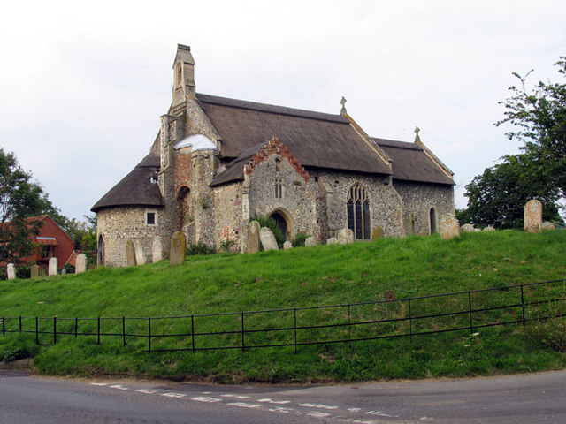
Church of St Michael, Aylsham

The Church of St Michael and All Angels, Aylsham, Norfolk, is a church of medieval origins that was built in the 14th century under the patronage of John...

Aylsham Town Hall

Aylsham Town Hall is a municipal building in the Market Place in Aylsham, Norfolk, England. The structure, which accommodates the offices and meeting place...

Ingworth

Ingworth is a village and a civil parish in the English county of Norfolk. It is 1.7 miles (2.7 km) north of Aylsham, 14.3 miles (23.0 km) north of Norwich...

Aylsham South railway station

Aylsham South railway station served the town of Aylsham in Norfolk from 1880 to 1981. The period station buildings were subsequently demolished in 1989...

Aylsham railway station

Aylsham railway station is located in the town of Aylsham in Norfolk and is the northern terminus of the Bure Valley Railway, a narrow gauge operation...
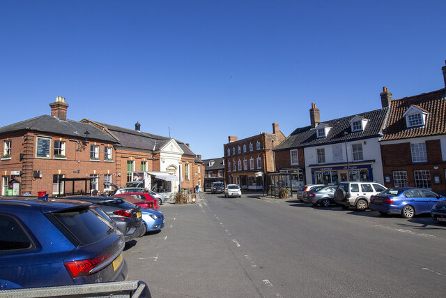
Aylsham

Aylsham ( or ) is a historic market town and civil parish on the River Bure in north Norfolk, England, nearly 9 mi (14 km) north of Norwich. The river...

Nearby Amenities

Located within 500m of 52.805124,1.26072
Bus Stop
Dunkirk, opp
Naptan AtcoCode: 2900A2115
Naptan Bearing: NE
Naptan BusStopType: CUS
Naptan CommonName: Dunkirk
Naptan Indicator: opp
Naptan Landmark: Dunkirk
Naptan Locality: Aylsham
Naptan NaptanCode: nfoadmga
Naptan Street: Millgate
Naptan Verified: no
Source: naptan_import
Lat/Long: 52.8013159/1.2587945
Bus Stop
Dunkirk, adj
Naptan AtcoCode: 2900A2116
Naptan Bearing: SW
Naptan BusStopType: CUS
Naptan CommonName: Dunkirk
Naptan Indicator: adj
Naptan Landmark: Dunkirk
Naptan Locality: Aylsham
Naptan NaptanCode: nfoadmgd
Naptan Street: Millgate
Naptan Verified: no
Source: naptan_import
Lat/Long: 52.8015709/1.259333
Bench
Backrest: yes
Lat/Long: 52.8012289/1.2586761
Aylsham North
Historic Railway: station
Railway: site
Source: OS 1:25k
Wikidata: Q4831441
Wikipedia: en:Aylsham North railway station
Lat/Long: 52.8027702/1.2598518
Drabblegate
Place: locality
Lat/Long: 52.8063872/1.2619423
Post Box
Collection Times: Mo-Fr 09:00; Sa 07:00
Operator: Royal Mail
Post Box Type: wall
Ref: NR11 1114D
Royal Cypher: GR
Royal Cypher Wikidata: Q33102273
Lat/Long: 52.8036511/1.2596386
Post Box
Collection Times: Mo-Fr 16:00; Sa 08:30
Operator: Royal Mail
Post Box Type: wall
Ref: NR11 1126
Royal Cypher: EIIR
Royal Cypher Wikidata: Q33102113
Lat/Long: 52.8009839/1.262587
Give Way
Lat/Long: 52.8037397/1.2653262
Give Way
Lat/Long: 52.8024517/1.2663728
Power: pole
Lat/Long: 52.8029009/1.2660496
Power: pole
Lat/Long: 52.8033776/1.2655748
Power: pole
Lat/Long: 52.8038122/1.2651148
Power: pole
Lat/Long: 52.8035268/1.263696
Material: wood
Power: pole
Lat/Long: 52.8024452/1.2580365
Material: wood
Power: pole
Lat/Long: 52.802682/1.2592784
Power: pole
Lat/Long: 52.8032284/1.2621349
Material: wood
Power: pole
Lat/Long: 52.8029658/1.2607791
Give Way
Lat/Long: 52.8029735/1.2611971
Give Way
Lat/Long: 52.8030971/1.2611277
Material: wood
Power: pole
Lat/Long: 52.8022728/1.256413
Bench
Backrest: no
Material: wood
Seats: 2
Lat/Long: 52.8022557/1.2564798
The Weavers' Way at Aylsham
Board Type: history
Description: The River Bure, its water meadows and the railway
Information: board
Tourism: information
Lat/Long: 52.8022802/1.2564895
Waste Basket
Colour: red
Waste: dog_excrement
Lat/Long: 52.8027152/1.2596136
Barrier: kissing_gate
Material: wood
Lat/Long: 52.8027241/1.2595895
Waste Basket
Colour: red
Waste: dog_excrement
Lat/Long: 52.8028336/1.2600984
Waste Basket
Colour: green
Waste: trash
Lat/Long: 52.8028364/1.2601145
Give Way
Lat/Long: 52.8030399/1.2594614
The data included in this document is from www.openstreetmap.org. The data is made available under ODbL.

Have you been to Drabblegate?

Leave your review of Drabblegate below (or comments, questions and feedback).