Guy's Copse

Wood, Forest in Berkshire Vale of White Horse

England

Guy's Copse

Toll House, Swinford Bridge Listed buildings and structures are officially designated as being of special architectural, historical or cultural significance. There are over half a million listed structures in the United Kingdom, covered by around 375,000 listings.
Listed status is more commonly associated with buildings or groups of buildings, however it can cover many other structures, including bridges, headstones, steps, ponds, monuments, walls, phone boxes, wrecks, parks, and heritage sites, and in more recent times a road crossing (Abbey Road) and graffiti art (Banksy 'Spy-booth') have been included.

In England and Wales there are three main listing designations;
Grade I (2.5%) - exceptional interest, sometimes considered to be internationally important.
Grade II* (5.5%) - particularly important buildings of more than special interest. 
Grade II (92%) - nationally important and of special interest. 

There are also locally listed structures (at the discretion of local authorities) using A, B and C designations.

In Scotland three classifications are also used but the criteria are different. There are around 47,500 Listed buildings.
Category A (8%)- generally equivalent to Grade I and II* in England and Wales
Category B (51%)- this appears generally to cover the ground of Grade II, recognising national importance.
Category C (41%)- buildings of local importance, probably with some overlap with English Grade II.

In Northern Ireland the criteria are similar to Scotland, but the classifications are:
Grade A (2.3%)
Grade B+ (4.7%)
Grade B (93%)

Read more at Wikipedia <span class="nowrap"><a title="http://en.wikipedia.org/wiki/Listed_building" rel="nofollow ugc noopener" href="http://en.wikipedia.org/wiki/Listed_building">Link</a><img style="margin-left:2px;" alt="External link" title="External link - shift click to open in new window" src="https://s1.geograph.org.uk/img/external.png" width="10" height="10"/></span>
Toll House, Swinford Bridge Credit: N Chadwick

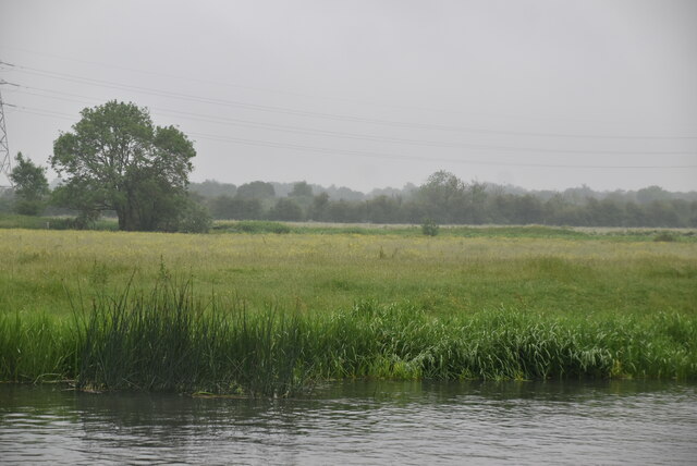
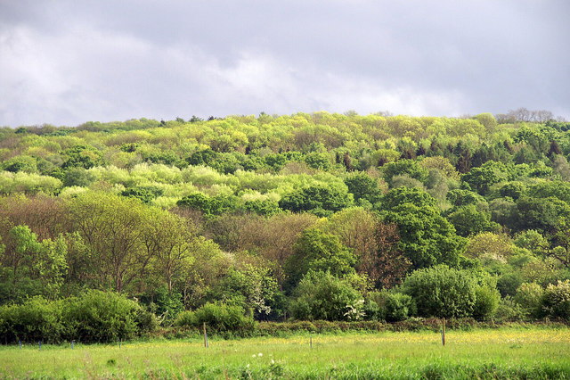
Guy's Copse is a picturesque woodland located in the county of Berkshire, England. Covering an area of approximately 50 acres, it is well-known for its tranquil atmosphere and diverse range of flora and fauna. The woodland is situated near the village of Sunningdale and is easily accessible by both car and foot.

The copse is predominantly composed of mature oak trees, which provide a dense canopy and create a shaded environment. This makes it an ideal habitat for a variety of wildlife species. Visitors to Guy's Copse can expect to encounter numerous bird species, including woodpeckers, owls, and various songbirds. Squirrels are also a common sight, as they scurry through the trees in search of food.

The woodland floor is covered with a rich carpet of bluebells in the springtime, creating a breathtaking display of vibrant colors. Other notable plant species found within the copse include wild garlic, primroses, and ferns. The abundance of these plants attracts a wide range of insects, such as butterflies and bees.

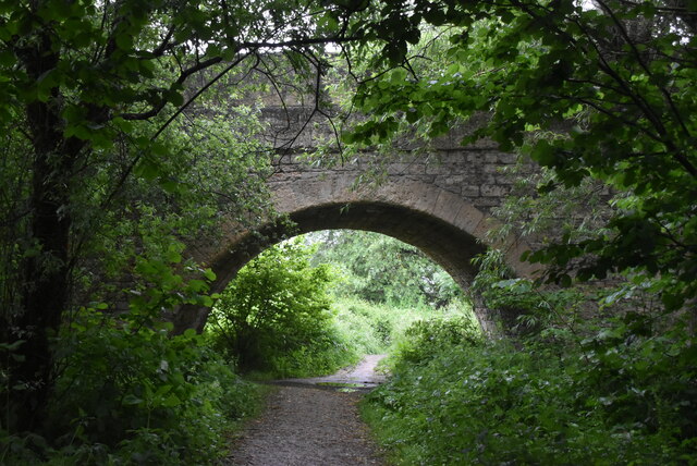
The copse is crisscrossed by a network of well-maintained footpaths, allowing visitors to explore its beauty at their own pace. These paths meander through the trees, offering glimpses of sunlight filtering through the foliage and providing a sense of tranquility. There are also designated picnic areas, allowing visitors to pause and enjoy the peaceful surroundings.

Overall, Guy's Copse in Berkshire is a haven for nature enthusiasts, offering a delightful escape from the hustle and bustle of everyday life.

If you have any feedback on the listing, please let us know in the comments section below.

Guy's Copse Images

Images are sourced within 2km of 51.764419/-1.3386329 or Grid Reference SP4507. Thanks to Geograph Open Source API. All images are credited.

Toll House, Swinford Bridge Listed buildings and structures are officially designated as being of special architectural, historical or cultural significance. There are over half a million listed structures in the United Kingdom, covered by around 375,000 listings.
Listed status is more commonly associated with buildings or groups of buildings, however it can cover many other structures, including bridges, headstones, steps, ponds, monuments, walls, phone boxes, wrecks, parks, and heritage sites, and in more recent times a road crossing (Abbey Road) and graffiti art (Banksy 'Spy-booth') have been included.

In England and Wales there are three main listing designations;
Grade I (2.5%) - exceptional interest, sometimes considered to be internationally important.
Grade II* (5.5%) - particularly important buildings of more than special interest. 
Grade II (92%) - nationally important and of special interest. 

There are also locally listed structures (at the discretion of local authorities) using A, B and C designations.

In Scotland three classifications are also used but the criteria are different. There are around 47,500 Listed buildings.
Category A (8%)- generally equivalent to Grade I and II* in England and Wales
Category B (51%)- this appears generally to cover the ground of Grade II, recognising national importance.
Category C (41%)- buildings of local importance, probably with some overlap with English Grade II.

In Northern Ireland the criteria are similar to Scotland, but the classifications are:
Grade A (2.3%)
Grade B+ (4.7%)
Grade B (93%)

Read more at Wikipedia <span class="nowrap"><a title="http://en.wikipedia.org/wiki/Listed_building" rel="nofollow ugc noopener" href="http://en.wikipedia.org/wiki/Listed_building">Link</a><img style="margin-left:2px;" alt="External link" title="External link - shift click to open in new window" src="https://s1.geograph.org.uk/img/external.png" width="10" height="10"/></span>
Toll House, Swinford Bridge
Listed buildings and structures are officially designated as being of special architectural, historical or cultural significance. There are over half a million listed structures in the United Kingdom, covered by around 375,000 listings. Listed status is more commonly associated with buildings or groups of buildings, however it can cover many other structures, including bridges, headstones, steps, ponds, monuments, walls, phone boxes, wrecks, parks, and heritage sites, and in more recent times a road crossing (Abbey Road) and graffiti art (Banksy 'Spy-booth') have been included. In England and Wales there are three main listing designations; Grade I (2.5%) - exceptional interest, sometimes considered to be internationally important. Grade II* (5.5%) - particularly important buildings of more than special interest. Grade II (92%) - nationally important and of special interest. There are also locally listed structures (at the discretion of local authorities) using A, B and C designations. In Scotland three classifications are also used but the criteria are different. There are around 47,500 Listed buildings. Category A (8%)- generally equivalent to Grade I and II* in England and Wales Category B (51%)- this appears generally to cover the ground of Grade II, recognising national importance. Category C (41%)- buildings of local importance, probably with some overlap with English Grade II. In Northern Ireland the criteria are similar to Scotland, but the classifications are: Grade A (2.3%) Grade B+ (4.7%) Grade B (93%) Read more at Wikipedia LinkExternal link
Swinford Bridge Listed buildings and structures are officially designated as being of special architectural, historical or cultural significance. There are over half a million listed structures in the United Kingdom, covered by around 375,000 listings.
Listed status is more commonly associated with buildings or groups of buildings, however it can cover many other structures, including bridges, headstones, steps, ponds, monuments, walls, phone boxes, wrecks, parks, and heritage sites, and in more recent times a road crossing (Abbey Road) and graffiti art (Banksy 'Spy-booth') have been included.

In England and Wales there are three main listing designations;
Grade I (2.5%) - exceptional interest, sometimes considered to be internationally important.
Grade II* (5.5%) - particularly important buildings of more than special interest. 
Grade II (92%) - nationally important and of special interest. 

There are also locally listed structures (at the discretion of local authorities) using A, B and C designations.

In Scotland three classifications are also used but the criteria are different. There are around 47,500 Listed buildings.
Category A (8%)- generally equivalent to Grade I and II* in England and Wales
Category B (51%)- this appears generally to cover the ground of Grade II, recognising national importance.
Category C (41%)- buildings of local importance, probably with some overlap with English Grade II.

In Northern Ireland the criteria are similar to Scotland, but the classifications are:
Grade A (2.3%)
Grade B+ (4.7%)
Grade B (93%)

Read more at Wikipedia <span class="nowrap"><a title="http://en.wikipedia.org/wiki/Listed_building" rel="nofollow ugc noopener" href="http://en.wikipedia.org/wiki/Listed_building">Link</a><img style="margin-left:2px;" alt="External link" title="External link - shift click to open in new window" src="https://s1.geograph.org.uk/img/external.png" width="10" height="10"/></span>
Swinford Bridge
Listed buildings and structures are officially designated as being of special architectural, historical or cultural significance. There are over half a million listed structures in the United Kingdom, covered by around 375,000 listings. Listed status is more commonly associated with buildings or groups of buildings, however it can cover many other structures, including bridges, headstones, steps, ponds, monuments, walls, phone boxes, wrecks, parks, and heritage sites, and in more recent times a road crossing (Abbey Road) and graffiti art (Banksy 'Spy-booth') have been included. In England and Wales there are three main listing designations; Grade I (2.5%) - exceptional interest, sometimes considered to be internationally important. Grade II* (5.5%) - particularly important buildings of more than special interest. Grade II (92%) - nationally important and of special interest. There are also locally listed structures (at the discretion of local authorities) using A, B and C designations. In Scotland three classifications are also used but the criteria are different. There are around 47,500 Listed buildings. Category A (8%)- generally equivalent to Grade I and II* in England and Wales Category B (51%)- this appears generally to cover the ground of Grade II, recognising national importance. Category C (41%)- buildings of local importance, probably with some overlap with English Grade II. In Northern Ireland the criteria are similar to Scotland, but the classifications are: Grade A (2.3%) Grade B+ (4.7%) Grade B (93%) Read more at Wikipedia LinkExternal link
Eynsham Lock The River Thames rises at Thames Head in Gloucestershire on the slopes of the Cotswolds and flows generally eastward to its mouth near Southend in Essex. At 215 miles long it is one of the longest rivers in Britain, and the longest entirely within England. It is one of the most important rivers in Britain. <span class="nowrap"><a title="http://en.wikipedia.org/wiki/River_Thames" rel="nofollow ugc noopener" href="http://en.wikipedia.org/wiki/River_Thames">Link</a><img style="margin-left:2px;" alt="External link" title="External link - shift click to open in new window" src="https://s1.geograph.org.uk/img/external.png" width="10" height="10"/></span>
Eynsham Lock
The River Thames rises at Thames Head in Gloucestershire on the slopes of the Cotswolds and flows generally eastward to its mouth near Southend in Essex. At 215 miles long it is one of the longest rivers in Britain, and the longest entirely within England. It is one of the most important rivers in Britain. LinkExternal link
River Thames The River Thames rises at Thames Head in Gloucestershire on the slopes of the Cotswolds and flows generally eastward to its mouth near Southend in Essex. At 215 miles long it is one of the longest rivers in Britain, and the longest entirely within England. It is one of the most important rivers in Britain. <span class="nowrap"><a title="http://en.wikipedia.org/wiki/River_Thames" rel="nofollow ugc noopener" href="http://en.wikipedia.org/wiki/River_Thames">Link</a><img style="margin-left:2px;" alt="External link" title="External link - shift click to open in new window" src="https://s1.geograph.org.uk/img/external.png" width="10" height="10"/></span>
River Thames
The River Thames rises at Thames Head in Gloucestershire on the slopes of the Cotswolds and flows generally eastward to its mouth near Southend in Essex. At 215 miles long it is one of the longest rivers in Britain, and the longest entirely within England. It is one of the most important rivers in Britain. LinkExternal link
Swinford Bridge In the United Kingdom, a scheduled monument is a 'nationally important' archaeological site or historic building, given protection against unauthorised change.
There are about 20,000 scheduled monuments in England representing about 37,000 heritage assets. Of the tens of thousands of scheduled monuments in the UK, most are inconspicuous archaeological sites, but some are large ruins.
Wikipedia: <span class="nowrap"><a title="https://en.wikipedia.org/wiki/Scheduled_monument" rel="nofollow ugc noopener" href="https://en.wikipedia.org/wiki/Scheduled_monument">Link</a><img style="margin-left:2px;" alt="External link" title="External link - shift click to open in new window" src="https://s1.geograph.org.uk/img/external.png" width="10" height="10"/></span>
Swinford Bridge
In the United Kingdom, a scheduled monument is a 'nationally important' archaeological site or historic building, given protection against unauthorised change. There are about 20,000 scheduled monuments in England representing about 37,000 heritage assets. Of the tens of thousands of scheduled monuments in the UK, most are inconspicuous archaeological sites, but some are large ruins. Wikipedia: LinkExternal link
Swinford Bridge Listed buildings and structures are officially designated as being of special architectural, historical or cultural significance. There are over half a million listed structures in the United Kingdom, covered by around 375,000 listings.
Listed status is more commonly associated with buildings or groups of buildings, however it can cover many other structures, including bridges, headstones, steps, ponds, monuments, walls, phone boxes, wrecks, parks, and heritage sites, and in more recent times a road crossing (Abbey Road) and graffiti art (Banksy 'Spy-booth') have been included.

In England and Wales there are three main listing designations;
Grade I (2.5%) - exceptional interest, sometimes considered to be internationally important.
Grade II* (5.5%) - particularly important buildings of more than special interest. 
Grade II (92%) - nationally important and of special interest. 

There are also locally listed structures (at the discretion of local authorities) using A, B and C designations.

In Scotland three classifications are also used but the criteria are different. There are around 47,500 Listed buildings.
Category A (8%)- generally equivalent to Grade I and II* in England and Wales
Category B (51%)- this appears generally to cover the ground of Grade II, recognising national importance.
Category C (41%)- buildings of local importance, probably with some overlap with English Grade II.

In Northern Ireland the criteria are similar to Scotland, but the classifications are:
Grade A (2.3%)
Grade B+ (4.7%)
Grade B (93%)

Read more at Wikipedia <span class="nowrap"><a title="http://en.wikipedia.org/wiki/Listed_building" rel="nofollow ugc noopener" href="http://en.wikipedia.org/wiki/Listed_building">Link</a><img style="margin-left:2px;" alt="External link" title="External link - shift click to open in new window" src="https://s1.geograph.org.uk/img/external.png" width="10" height="10"/></span>
Swinford Bridge
Listed buildings and structures are officially designated as being of special architectural, historical or cultural significance. There are over half a million listed structures in the United Kingdom, covered by around 375,000 listings. Listed status is more commonly associated with buildings or groups of buildings, however it can cover many other structures, including bridges, headstones, steps, ponds, monuments, walls, phone boxes, wrecks, parks, and heritage sites, and in more recent times a road crossing (Abbey Road) and graffiti art (Banksy 'Spy-booth') have been included. In England and Wales there are three main listing designations; Grade I (2.5%) - exceptional interest, sometimes considered to be internationally important. Grade II* (5.5%) - particularly important buildings of more than special interest. Grade II (92%) - nationally important and of special interest. There are also locally listed structures (at the discretion of local authorities) using A, B and C designations. In Scotland three classifications are also used but the criteria are different. There are around 47,500 Listed buildings. Category A (8%)- generally equivalent to Grade I and II* in England and Wales Category B (51%)- this appears generally to cover the ground of Grade II, recognising national importance. Category C (41%)- buildings of local importance, probably with some overlap with English Grade II. In Northern Ireland the criteria are similar to Scotland, but the classifications are: Grade A (2.3%) Grade B+ (4.7%) Grade B (93%) Read more at Wikipedia LinkExternal link
Eynsham Lock Eynsham Lock is on the River Thames. It is on the southern bank near Swinford Oxfordshire.
The lock was one of the last pound locks built on the Thames being built by the Thames Conservancy in 1928.
Eynsham Lock
Eynsham Lock is on the River Thames. It is on the southern bank near Swinford Oxfordshire. The lock was one of the last pound locks built on the Thames being built by the Thames Conservancy in 1928.
Lock House Eynsham Lock is on the River Thames. It is on the southern bank near Swinford Oxfordshire.
The lock was one of the last pound locks built on the Thames being built by the Thames Conservancy in 1928.
Lock House
Eynsham Lock is on the River Thames. It is on the southern bank near Swinford Oxfordshire. The lock was one of the last pound locks built on the Thames being built by the Thames Conservancy in 1928.
Swinford Bridge Swinford Toll Bridge is a privately owned toll bridge across the River Thames. It crosses the river just above Eynsham Lock, between the village of Eynsham on the west bank and Swinford on the east bank. It carries the B4044 road from Oxford to Eynsham, which was the A40 road until the Eynsham bypass was completed in 1936. The bridge opened in 1769.
Swinford Bridge
Swinford Toll Bridge is a privately owned toll bridge across the River Thames. It crosses the river just above Eynsham Lock, between the village of Eynsham on the west bank and Swinford on the east bank. It carries the B4044 road from Oxford to Eynsham, which was the A40 road until the Eynsham bypass was completed in 1936. The bridge opened in 1769.
Weir, Eynsham Lock The River Thames rises at Thames Head in Gloucestershire on the slopes of the Cotswolds and flows generally eastward to its mouth near Southend in Essex. At 215 miles long it is one of the longest rivers in Britain, and the longest entirely within England. It is one of the most important rivers in Britain. <span class="nowrap"><a title="http://en.wikipedia.org/wiki/River_Thames" rel="nofollow ugc noopener" href="http://en.wikipedia.org/wiki/River_Thames">Link</a><img style="margin-left:2px;" alt="External link" title="External link - shift click to open in new window" src="https://s1.geograph.org.uk/img/external.png" width="10" height="10"/></span>
Weir, Eynsham Lock
The River Thames rises at Thames Head in Gloucestershire on the slopes of the Cotswolds and flows generally eastward to its mouth near Southend in Essex. At 215 miles long it is one of the longest rivers in Britain, and the longest entirely within England. It is one of the most important rivers in Britain. LinkExternal link
Swimmers crossing Eynsham Lock Eynsham Lock is on the River Thames. It is on the southern bank near Swinford Oxfordshire.
The lock was one of the last pound locks built on the Thames being built by the Thames Conservancy in 1928.
Swimmers crossing Eynsham Lock
Eynsham Lock is on the River Thames. It is on the southern bank near Swinford Oxfordshire. The lock was one of the last pound locks built on the Thames being built by the Thames Conservancy in 1928.
River Thames The River Thames rises at Thames Head in Gloucestershire on the slopes of the Cotswolds and flows generally eastward to its mouth near Southend in Essex. At 215 miles long it is one of the longest rivers in Britain, and the longest entirely within England. It is one of the most important rivers in Britain. <span class="nowrap"><a title="http://en.wikipedia.org/wiki/River_Thames" rel="nofollow ugc noopener" href="http://en.wikipedia.org/wiki/River_Thames">Link</a><img style="margin-left:2px;" alt="External link" title="External link - shift click to open in new window" src="https://s1.geograph.org.uk/img/external.png" width="10" height="10"/></span>
River Thames
The River Thames rises at Thames Head in Gloucestershire on the slopes of the Cotswolds and flows generally eastward to its mouth near Southend in Essex. At 215 miles long it is one of the longest rivers in Britain, and the longest entirely within England. It is one of the most important rivers in Britain. LinkExternal link
Floodplain of the River Thames
The Start Openwater swimmers about to compete in the 4km swim from Eynsham Lock to Kings Lock.
The Start
Openwater swimmers about to compete in the 4km swim from Eynsham Lock to Kings Lock.
Thames Path This National Trail is 184 miles (294 km) long, following the River Thames from its source in the Cotswolds almost to the sea, finishing at the Thames Barrier in Greenwich.
The trail keeps to the banks of the river most of the route.
Website: <span class="nowrap"><a title="http://www.nationaltrail.co.uk/ThamesPath/" rel="nofollow ugc noopener" href="http://www.nationaltrail.co.uk/ThamesPath/">Link</a><img style="margin-left:2px;" alt="External link" title="External link - shift click to open in new window" src="https://s1.geograph.org.uk/img/external.png" width="10" height="10"/></span>
Thames Path
This National Trail is 184 miles (294 km) long, following the River Thames from its source in the Cotswolds almost to the sea, finishing at the Thames Barrier in Greenwich. The trail keeps to the banks of the river most of the route. Website: LinkExternal link
Wytham Woods Wytham Woods is an area of long-established mixed woodland noted for their high population of badgers and long-term monitoring of great tits. It is on rising ground to the west of the village. The woods are a Site of Special Scientific Interest. The University of Oxford owns the woods and uses them for research in zoology and climate change. The University also has a field station north of the village.
Website: <span class="nowrap"><a title="https://www.wythamwoods.ox.ac.uk/home" rel="nofollow ugc noopener" href="https://www.wythamwoods.ox.ac.uk/home">Link</a><img style="margin-left:2px;" alt="External link" title="External link - shift click to open in new window" src="https://s1.geograph.org.uk/img/external.png" width="10" height="10"/></span>
Wytham Woods
Wytham Woods is an area of long-established mixed woodland noted for their high population of badgers and long-term monitoring of great tits. It is on rising ground to the west of the village. The woods are a Site of Special Scientific Interest. The University of Oxford owns the woods and uses them for research in zoology and climate change. The University also has a field station north of the village. Website: LinkExternal link
Show me another place!

Guy's Copse is located at Grid Ref: SP4507 (Lat: 51.764419, Lng: -1.3386329)

Administrative County: Oxfordshire

District: Vale of White Horse

Police Authority: Thames Valley

What 3 Words

///convert.listen.hurricane. Near Eynsham, Oxfordshire

Related Wikis

Wytham Woods

Wytham Woods are a 423.8-hectare (1,047-acre) biological Site of Special Scientific Interest north-west of Oxford in Oxfordshire. It is a Nature Conservation...

Farmoor

Farmoor is a village 3.5 miles (5.6 km) west of the centre of Oxford, England. The village was part of Berkshire until the 1974 local government boundary...

Azad University IR in Oxford

The Azad University in Oxford (AUO) is a university campus in Oxford, England, branch of the Islamic Azad University, Iran. AUO was founded in 2004 as...

Farmoor Reservoir

Farmoor Reservoir is a reservoir at Farmoor, Oxfordshire, England, about 5 miles (8 km) outside the city of Oxford. It is close to the east bank of the...

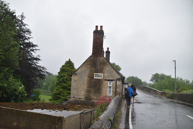
Swinford, Oxfordshire

Swinford in the English county of Oxfordshire is a hamlet in the civil parish of Cumnor. It lies on the road between Eynsham and Farmoor (B4044) on the...
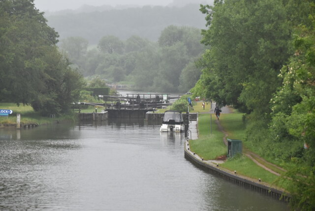
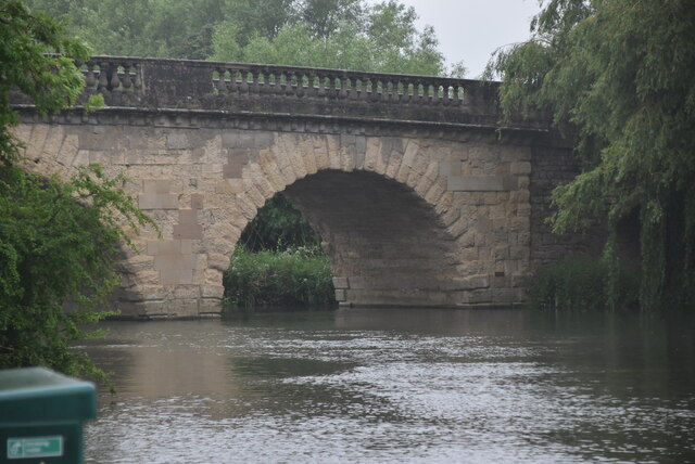
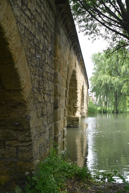
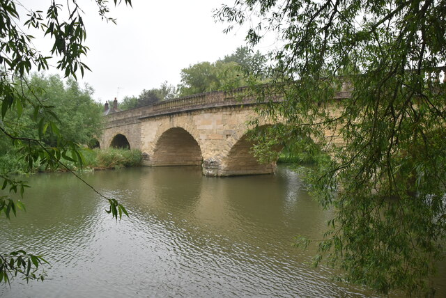
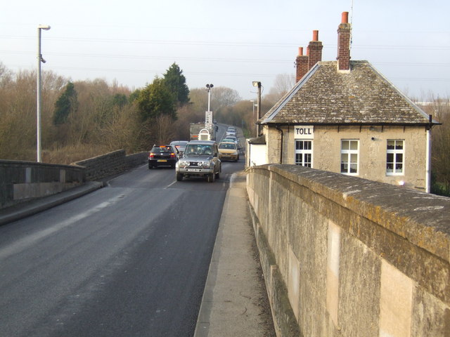
Eynsham Lock

Eynsham Lock is a lock on the River Thames in England. It is on the southern bank near Swinford Oxfordshire. The large village of Eynsham is a little distance...
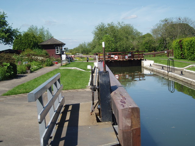
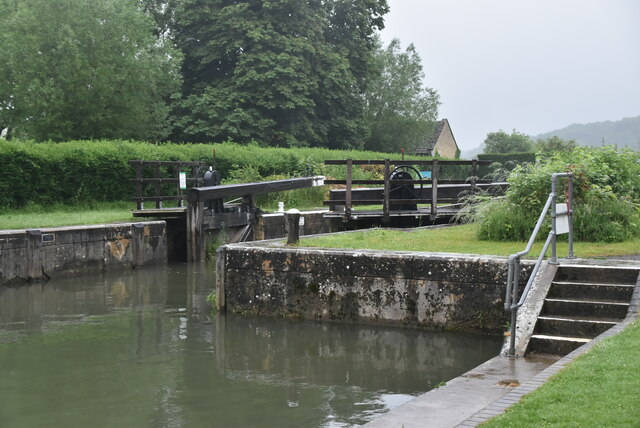
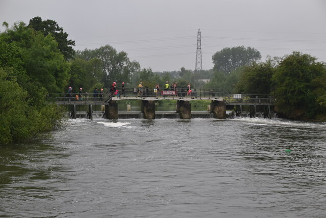
Pinkhill Lock

Pinkhill Lock is a lock on the River Thames in England. It is close to Farmoor, Oxfordshire. The first lock was built of stone by Daniel Harris for the...

Filchampstead

Filchampstead is a hamlet within Cumnor Parish, Oxfordshire. Until the 1974 boundary changes it was in Berkshire. It lies on the Cumnor Road (B4017) between...

Nearby Amenities

Located within 500m of 51.764419,-1.3386329
Bench
Backrest: yes
Lat/Long: 51.7687253/-1.3382459
The data included in this document is from www.openstreetmap.org. The data is made available under ODbL.

Have you been to Guy's Copse?

Leave your review of Guy's Copse below (or comments, questions and feedback).