Arncliffe Wood

Wood, Forest in Yorkshire Hambleton

England

Arncliffe Wood

Sheaths Nab
Sheaths Nab Credit: Mick Garratt

Arncliffe Wood, located in Yorkshire, is a picturesque forest that offers a serene escape for nature enthusiasts. Spread over a vast area, this wood is home to a diverse range of flora and fauna, making it a haven for wildlife lovers.

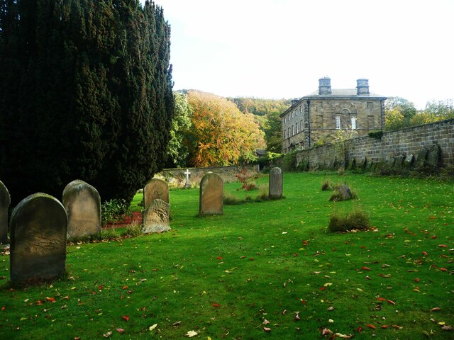
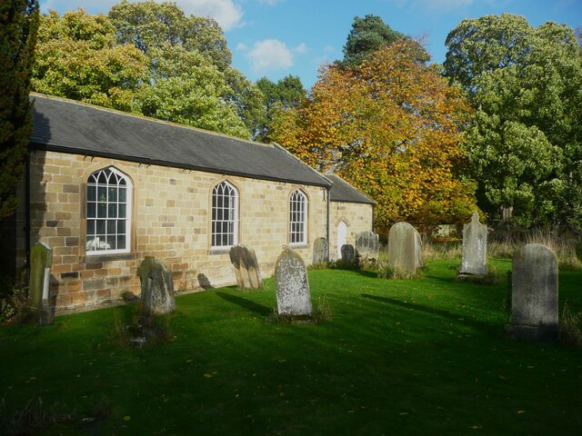
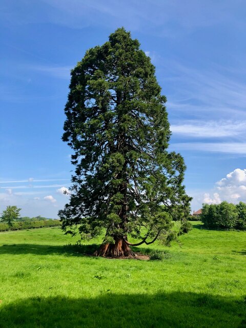
Covered in a dense canopy of trees, including oak, beech, and ash, Arncliffe Wood boasts stunning natural beauty throughout the year. The changing of seasons brings vibrant displays of colors, with the leaves turning golden in autumn and fresh green shoots emerging in spring. Walking through the wood, visitors are greeted by a carpet of bluebells in the springtime, creating a magical and tranquil atmosphere.

A well-maintained network of paths and trails wind their way through the wood, offering visitors the opportunity to explore this natural wonderland at their own pace. The varied terrain caters to all abilities, from gentle strolls to more challenging hikes, providing something for everyone.

Wildlife thrives in this woodland habitat, with an abundance of bird species, including woodpeckers, owls, and various songbirds. Squirrels can be spotted darting through the trees, while if lucky, visitors may even catch a glimpse of deer or foxes.

Arncliffe Wood is not only a natural treasure but also a historical one. It has been used as a source of timber for centuries, and remnants of old charcoal kilns and saw pits can still be found within its boundaries. This rich history adds an extra layer of intrigue and fascination to the wood.

Overall, Arncliffe Wood offers a peaceful and enchanting experience for those seeking solace in nature's embrace. Whether it's a leisurely stroll, birdwatching, or immersing oneself in the wonders of the forest, this woodland gem is sure to leave a lasting impression.

If you have any feedback on the listing, please let us know in the comments section below.

Arncliffe Wood Images

Images are sourced within 2km of 54.389923/-1.2980998 or Grid Reference SE4599. Thanks to Geograph Open Source API. All images are credited.

Sheaths Nab
Sheaths Nab
Autumn colours at Scarth Nick
Cleveland Way path on Scarth Wood Moor A well used path that is part of both the Cleveland Way and the Lyke Wake Walk. A fine view ahead towards the prow of Carlton Moor.
Cleveland Way path on Scarth Wood Moor
A well used path that is part of both the Cleveland Way and the Lyke Wake Walk. A fine view ahead towards the prow of Carlton Moor.
Hillside view from the Cleveland Way Looking north down the steep hillside from the Cleveland Way. The village of Swainby is seen in the sunshine below, whilst on the horizon are the delights of Middlesbrough.
Hillside view from the Cleveland Way
Looking north down the steep hillside from the Cleveland Way. The village of Swainby is seen in the sunshine below, whilst on the horizon are the delights of Middlesbrough.
Path junction above Scarth Nick Here a path veers off to the right to meet the road at the summit of the Scarth Nick pass, whilst that to the left drops down to the road and onwards if one is walking the Cleveland Way or Lyke Wake routes. Both the routes continue to drop down into Scugdale at around the 120m contour before a steep ascent to Round Hill at 315m.
Path junction above Scarth Nick
Here a path veers off to the right to meet the road at the summit of the Scarth Nick pass, whilst that to the left drops down to the road and onwards if one is walking the Cleveland Way or Lyke Wake routes. Both the routes continue to drop down into Scugdale at around the 120m contour before a steep ascent to Round Hill at 315m.
Sheep descending the moor side It looks as though at least one sheep decided that it was a good idea to head down towards the road, and the others followed. The hillside here is much disturbed and one might suspect post glacial subsidence, but old maps show a series of small quarries here, so that looks to be the more likely reason. Scarth Nick is a glacial overflow channel where pent up meltwaters around the edge of the Cleveland Plain glacier found a weak point in the hills and rushed through. Another example at a higher elevation can be found to the south east at Stony Ridge. See SE4899 - Holy Well Gill.
Sheep descending the moor side
It looks as though at least one sheep decided that it was a good idea to head down towards the road, and the others followed. The hillside here is much disturbed and one might suspect post glacial subsidence, but old maps show a series of small quarries here, so that looks to be the more likely reason. Scarth Nick is a glacial overflow channel where pent up meltwaters around the edge of the Cleveland Plain glacier found a weak point in the hills and rushed through. Another example at a higher elevation can be found to the south east at Stony Ridge. See SE4899 - Holy Well Gill.
Cleveland Way crossing Scarth Wood Moor
Path junction on the Cleveland Way
In the churchyard, Ingleby Arncliffe One of the large yew trees is on the left and Arncliffe House, built in 1754, in the distance.
In the churchyard, Ingleby Arncliffe
One of the large yew trees is on the left and Arncliffe House, built in 1754, in the distance.
The south side of All Saints Church, Ingleby Arncliffe The church was rebuilt in 1821. Inside there are box pews painted puce and with numbers on the doors. One pew has a font in it, with a cover of the same colour.
The south side of All Saints Church, Ingleby Arncliffe
The church was rebuilt in 1821. Inside there are box pews painted puce and with numbers on the doors. One pew has a font in it, with a cover of the same colour.
A fine specimen Sequoiadendron giganteum or the Giant Sequoia.
A fine specimen
Sequoiadendron giganteum or the Giant Sequoia.
Lyke Wake Walk sign at Scarth Nick Photographed in 2003 north of Osmotherley, this hand-painted sign probably dated to the late 1950s after Bill Cowley created the Lyke Wake Walk in 1955. The original walk was from Beacon Hill trig point to Ravenscar, a distance of 40 miles, which had to be covered in less than 24 hours. I suspect the sign might have disappeared by now, and its location is based on an imperfect memory.
Lyke Wake Walk sign at Scarth Nick
Photographed in 2003 north of Osmotherley, this hand-painted sign probably dated to the late 1950s after Bill Cowley created the Lyke Wake Walk in 1955. The original walk was from Beacon Hill trig point to Ravenscar, a distance of 40 miles, which had to be covered in less than 24 hours. I suspect the sign might have disappeared by now, and its location is based on an imperfect memory.
Paths in Clain Wood The sign is for the Cleveland Way.
Paths in Clain Wood
The sign is for the Cleveland Way.
Clain Wood Looking along part of the Cleveland Way in Clain Woods.
Clain Wood
Looking along part of the Cleveland Way in Clain Woods.
Gorse along Scarth Nick Looking up the road towards Cod Beck Reservoir. The road forms part of National Cycle Network route 65.
Gorse along Scarth Nick
Looking up the road towards Cod Beck Reservoir. The road forms part of National Cycle Network route 65.
A172 near Ingleby Cross The road now completely avoids Ingleby Cross, where the buildings are beyond the sign. The old road passed through the cross.
A172 near Ingleby Cross
The road now completely avoids Ingleby Cross, where the buildings are beyond the sign. The old road passed through the cross.
A172 near Ingleby Cross The old route of the road passed through Ingleby Cross, a short distance to the left.
A172 near Ingleby Cross
The old route of the road passed through Ingleby Cross, a short distance to the left.
Coalmire Lane Between two sharp bends on a very steep hill climbing up to Scarth Nick.
Coalmire Lane
Between two sharp bends on a very steep hill climbing up to Scarth Nick.
Show me another place!

Arncliffe Wood is located at Grid Ref: SE4599 (Lat: 54.389923, Lng: -1.2980998)

Division: North Riding

Administrative County: North Yorkshire

District: Hambleton

Police Authority: North Yorkshire

What 3 Words

///hoping.factually.goodness. Near Brompton, North Yorkshire

Related Wikis

Cod Beck Reservoir

Cod Beck Reservoir is a man-made lake situated within the North York Moors National Park and near the village of Osmotherley in the English county of North...
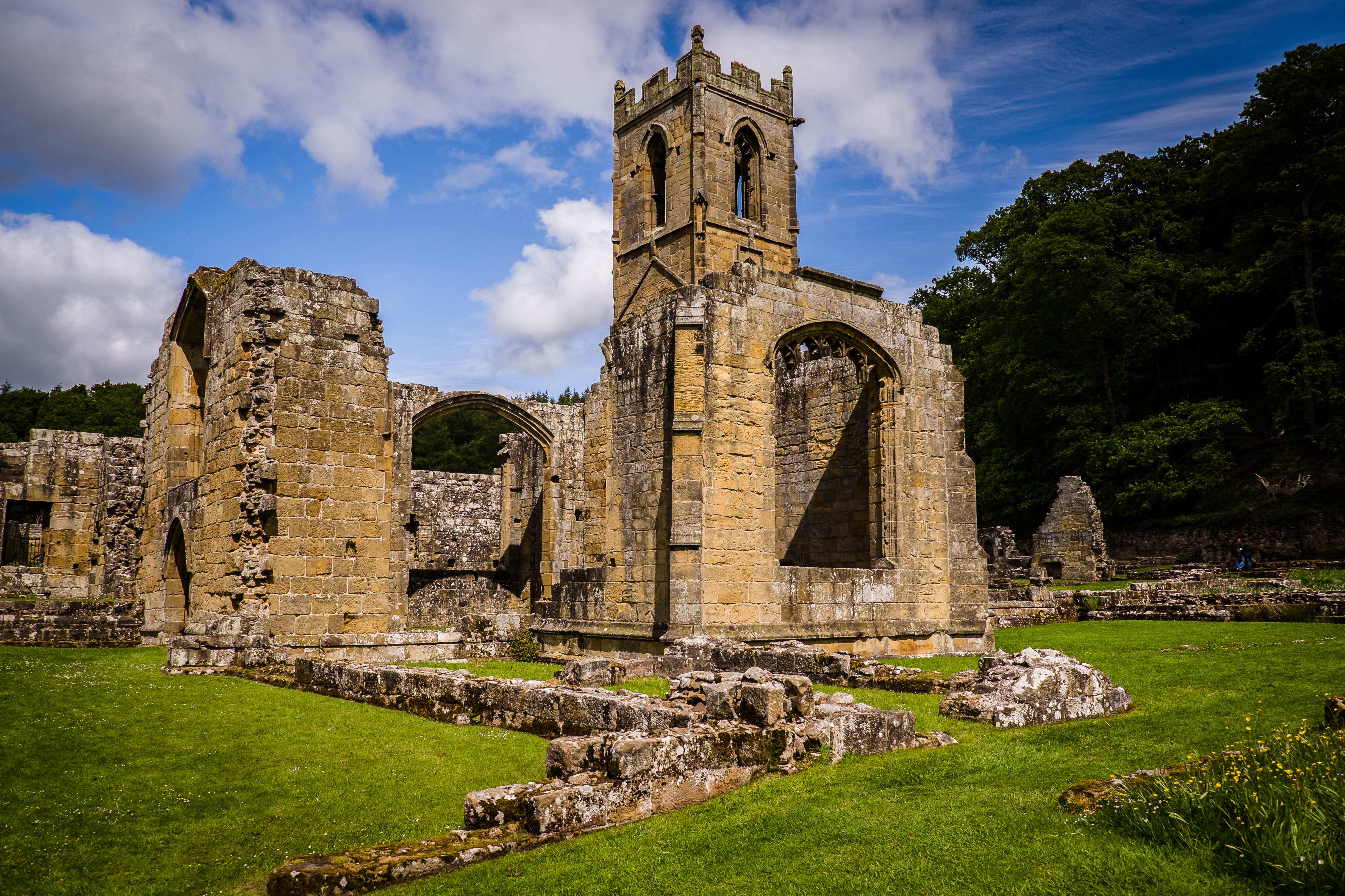
Mount Grace Priory

Mount Grace Priory is a monastery in the parish of East Harlsey, North Yorkshire, England. Set in woodlands within the North York Moors National Park,...

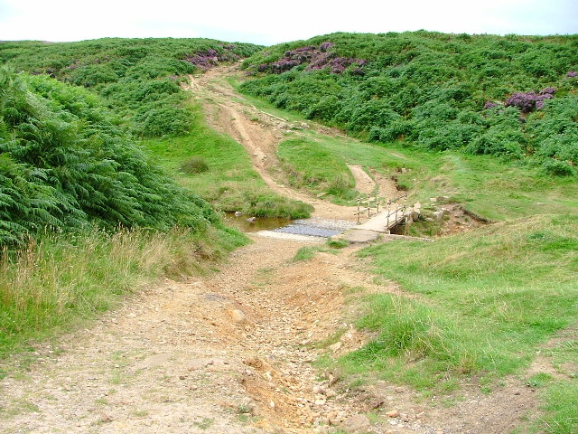
Sheepwash, North Yorkshire

Sheepwash is a popular tourist spot in the North York Moors, North Yorkshire, England. It is located on Cod Beck which flows into Cod Beck Reservoir near...

The Shrine of Our Lady of Mount Grace

The Shrine of Our Lady of Mount Grace is a place of Marian devotion and pilgrimage sited in the North Yorkshire village of Osmotherley. Christians have...
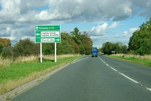
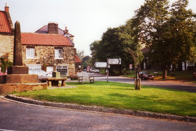
Ingleby Arncliffe

Ingleby Arncliffe is a village and civil parish in North Yorkshire, England. It is situated between the A172 and A19 roads, 6.5 miles (10.5 km) north-east...

Osmotherley Friends Meeting House

Osmotherley Friends Meeting House is a Friends Meeting House of the Religious Society of Friends (Quakers), situated in the village of Osmotherley in North...

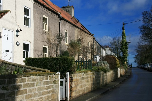
Osmotherley, North Yorkshire

Osmotherley is a village and civil parish in the Hambleton hills in North Yorkshire, six miles north-east of Northallerton. The village is at the western...

East Harlsey

East Harlsey is a village and civil parish in the Hambleton District of North Yorkshire, England. It is about 1 mile (2 km) west of Ingleby Arncliffe and...

Nearby Amenities

Located within 500m of 54.389923,-1.2980998
Beacon Hill
Ele: 299
Natural: peak
Lat/Long: 54.3910084/-1.2936363
Man Made: mast
Tower Type: communication
Lat/Long: 54.3888053/-1.2946973
Barrier: kissing_gate
Foot: yes
Lat/Long: 54.3923713/-1.2917806
Barrier: kissing_gate
Lat/Long: 54.3885402/-1.2946821
Barrier: kissing_gate
Lat/Long: 54.3891748/-1.2941713
Beacon Hill trig point
Man Made: survey_point
Lat/Long: 54.3909703/-1.2935
Park House B&B
Tourism: guest_house
Lat/Long: 54.3891994/-1.3040442
Information: route_marker
Tourism: information
Lat/Long: 54.388532/-1.2946552
Information: route_marker
Tourism: information
Lat/Long: 54.3891701/-1.2941486
Information: guidepost
Tourism: information
Lat/Long: 54.3923552/-1.2917765
Tourism: viewpoint
Lat/Long: 54.3925092/-1.2926762
Barrier: yes
Lat/Long: 54.3897129/-1.3038982
Barrier: yes
Lat/Long: 54.3915731/-1.3051604
Bench
Lat/Long: 54.3896572/-1.3036515
Park House
Place: isolated_dwelling
Lat/Long: 54.3891903/-1.3041356
Man Made: mast
Tower Type: communication
Lat/Long: 54.3891233/-1.2943968
Information: guidepost
Tourism: information
Lat/Long: 54.3931843/-1.3004461
Information: guidepost
Tourism: information
Lat/Long: 54.3933108/-1.3005534
Information: guidepost
Tourism: information
Lat/Long: 54.3896549/-1.3035911
The data included in this document is from www.openstreetmap.org. The data is made available under ODbL.

Have you been to Arncliffe Wood?

Leave your review of Arncliffe Wood below (or comments, questions and feedback).