Beightonfields Plantation
Wood, Forest in Derbyshire Bolsover
England
Beightonfields Plantation
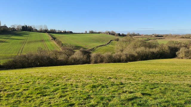
Beightonfields Plantation is a picturesque woodland area located in Derbyshire, England. Spanning over a vast area, this plantation is notable for its dense forest and diverse flora and fauna. The plantation is situated near the village of Beighton, just a few miles southeast of the city of Sheffield.
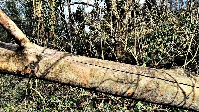
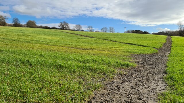
The woodland of Beightonfields Plantation is primarily composed of broadleaf trees, including oak, beech, and ash, creating a rich and vibrant canopy. The forest floor is covered with a variety of wildflowers, adding bursts of color to the landscape during the spring and summer months. The plantation also features several walking trails and paths that allow visitors to explore the area and enjoy the natural beauty that surrounds them.
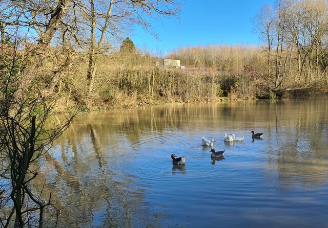
The plantation is home to a wide range of wildlife, including deer, foxes, and a variety of bird species. Birdwatchers can spot woodpeckers, owls, and various songbirds within the woodland. The diverse habitat within Beightonfields Plantation attracts many species, making it a popular spot for nature enthusiasts and wildlife photographers.
Beightonfields Plantation also serves as an important conservation area, contributing to the preservation of local ecosystems. The woodland is managed by local authorities to ensure the protection and sustainable use of its resources. This includes regular monitoring and maintenance of the plantation to maintain its ecological balance.
Overall, Beightonfields Plantation offers a tranquil escape from the bustling city life, providing visitors with an opportunity to immerse themselves in the beauty of nature and experience the wonders of Derbyshire's woodlands.
If you have any feedback on the listing, please let us know in the comments section below.
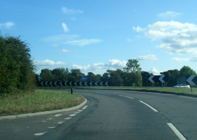
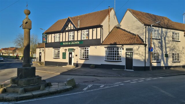
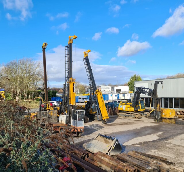
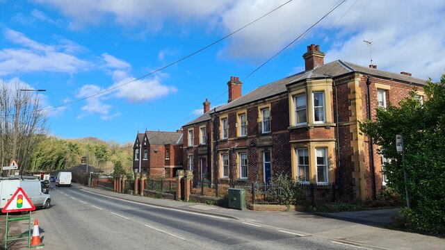
Beightonfields Plantation Images
Images are sourced within 2km of 53.287542/-1.3167102 or Grid Reference SK4576. Thanks to Geograph Open Source API. All images are credited.


Beightonfields Plantation is located at Grid Ref: SK4576 (Lat: 53.287542, Lng: -1.3167102)
Administrative County: Derbyshire
District: Bolsover
Police Authority: Derbyshire
What 3 Words
///level.jams.scan. Near Barlborough, Derbyshire
Nearby Locations
Related Wikis

Beighton Fields
Beighton Fields is a village in Derbyshire, England, UK, near Renishaw and Staveley (where the population is listed). John Bruno Bowdon, of Southgate House...

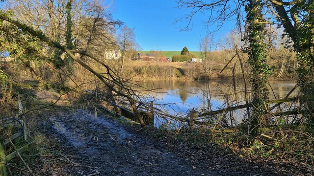
River Doe Lea
The River Doe Lea is a river which flows near Glapwell and Doe Lea in Derbyshire, England. The river eventually joins the River Rother near Renishaw. The...

Spinkhill
Spinkhill is a small village in North East Derbyshire, England. It is approximately one mile south of the nearest town, Killamarsh, and half a mile north...

Mastin Moor
Mastin Moor is a village east of Staveley in Derbyshire, United Kingdom. The village sits almost entirely on the north side of the A619. As well as houses...

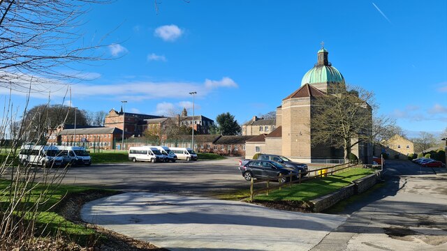
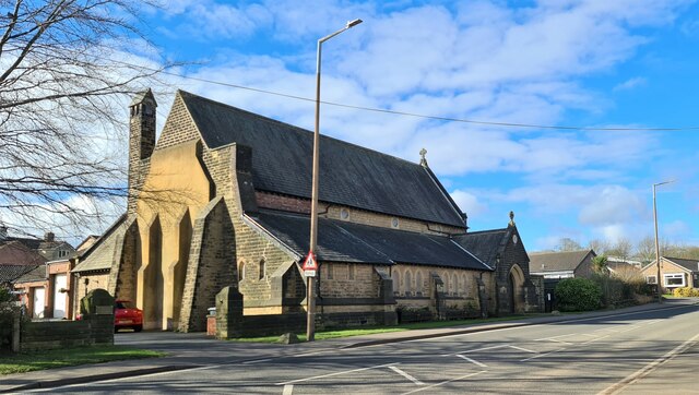
Church of the Immaculate Conception, Spinkhill
Immaculate Conception Church is a Roman Catholic Parish church in Spinkhill, Derbyshire, England. It was built in 1846 and designed by Joseph Hansom. It...

Renishaw Central railway station
Renishaw Central is a former railway station in Renishaw, Derbyshire, England. From its opening the station was named Eckington and Renishaw, but it was...
New Barlborough
New Barlborough is an area of Barlborough village, Bolsover, Derbyshire, England, consisting of several housing estates and a single row of houses along...

Mount St Mary's College
Mount St Mary's College is an independent, co-educational, day and boarding school situated at Spinkhill, Derbyshire, England. It was founded in 1842 by...
Nearby Amenities
Located within 500m of 53.287542,-1.3167102Have you been to Beightonfields Plantation?
Leave your review of Beightonfields Plantation below (or comments, questions and feedback).