Campsfield Wood
Wood, Forest in Oxfordshire West Oxfordshire
England
Campsfield Wood

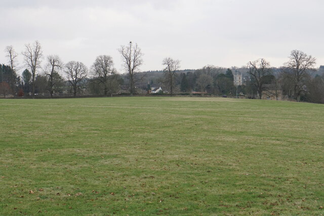
Campsfield Wood is a small woodland located in Oxfordshire, England. Situated near the village of Kidlington, it covers an area of about 70 acres. The woodland is classified as a mixed deciduous forest, consisting of a variety of tree species including oak, beech, birch, and ash.
Campsfield Wood is a popular destination for nature enthusiasts and walkers, offering picturesque views and peaceful surroundings. It provides a habitat for diverse wildlife, including birds, mammals, and insects. Many species of birds can be spotted in the woodland, such as woodpeckers, owls, and thrushes. Additionally, the woodland is home to various mammals like deer, squirrels, and foxes.
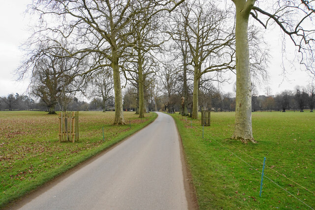
The woodland features several well-maintained trails, allowing visitors to explore its beauty and enjoy the tranquility of nature. These paths are suitable for all levels of fitness and are often used for recreational activities like walking, jogging, and cycling. The woodland also has picnic areas, providing a perfect spot for families and friends to relax and enjoy a meal amidst the natural surroundings.
Campsfield Wood is managed by the local council and conservation groups, who work to preserve its natural beauty and protect the wildlife. The woodland is open to the public throughout the year, and there are no entrance fees or restrictions on visiting. It is easily accessible by car, with parking facilities available nearby.
Overall, Campsfield Wood offers a serene escape from the bustling city life, allowing visitors to connect with nature and enjoy the beauty of Oxfordshire's woodlands.
If you have any feedback on the listing, please let us know in the comments section below.
Campsfield Wood Images
Images are sourced within 2km of 51.838572/-1.3391875 or Grid Reference SP4515. Thanks to Geograph Open Source API. All images are credited.


Campsfield Wood is located at Grid Ref: SP4515 (Lat: 51.838572, Lng: -1.3391875)
Administrative County: Oxfordshire
District: West Oxfordshire
Police Authority: Thames Valley
What 3 Words
///wage.grafted.typed. Near Woodstock, Oxfordshire
Nearby Locations
Related Wikis
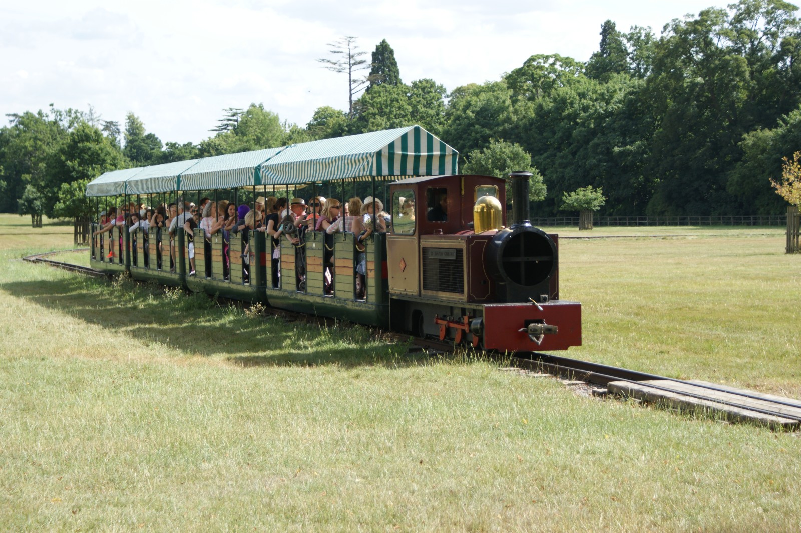
Blenheim Park Railway
Blenheim Park Railway is a 15 in (381 mm) gauge miniature railway operating in the grounds of Blenheim Palace, in Oxfordshire, England. == History == A...

Bladon
Bladon is a village and civil parish on the River Glyme about 6+1⁄2 miles (10.5 km) northwest of Oxford, Oxfordshire, England. It is where Sir Winston...
St Martin's Church, Bladon
St Martin's Church in Bladon near Woodstock, Oxfordshire, England, is the Church of England parish church of Bladon-with-Woodstock. It is also the mother...

River Glyme
The River Glyme is a river in Oxfordshire, England. It is a tributary of the River Evenlode. It rises about 1 mile (1.6 km) east of Chipping Norton, and...

Blenheim and Woodstock railway station
Blenheim & Woodstock was a railway station constructed in the neoclassical style which served the town of Woodstock and Blenheim Palace in the English...

Oxford Airport
London Oxford Airport (IATA: OXF, ICAO: EGTK), formerly known as Kidlington Airport, is a privately owned airport located near Kidlington in Cherwell District...

Woodstock, Oxfordshire
Woodstock is a market town and civil parish, 8 miles (13 km) north-west of Oxford in West Oxfordshire in the county of Oxfordshire, England. The 2011 Census...

Bear Hotel, Woodstock
The Bear Hotel is a hotel in Woodstock, Oxfordshire, located opposite The Oxfordshire Museum, not far from Blenheim Palace. It is one of England's original...
Nearby Amenities
Located within 500m of 51.838572,-1.3391875Have you been to Campsfield Wood?
Leave your review of Campsfield Wood below (or comments, questions and feedback).