Ashpiece Copse

Wood, Forest in Berkshire

England

Ashpiece Copse

A34 northbound towards the M4
A34 northbound towards the M4 Credit: Ian S

The requested URL returned error: 429 Too Many Requests

If you have any feedback on the listing, please let us know in the comments section below.

Ashpiece Copse Images

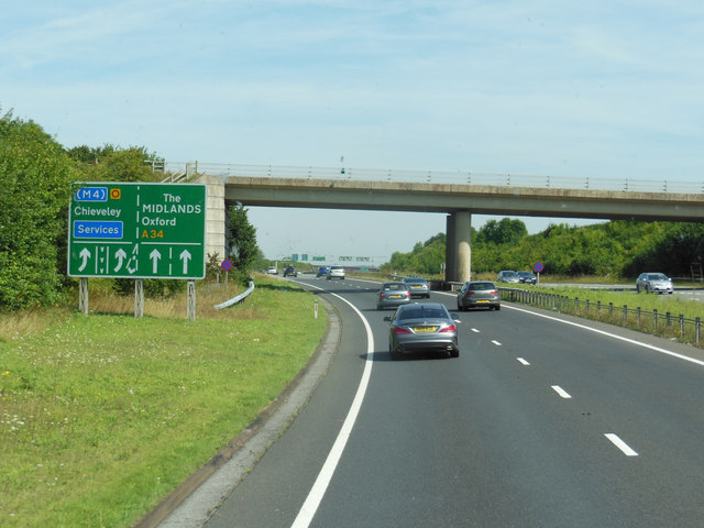
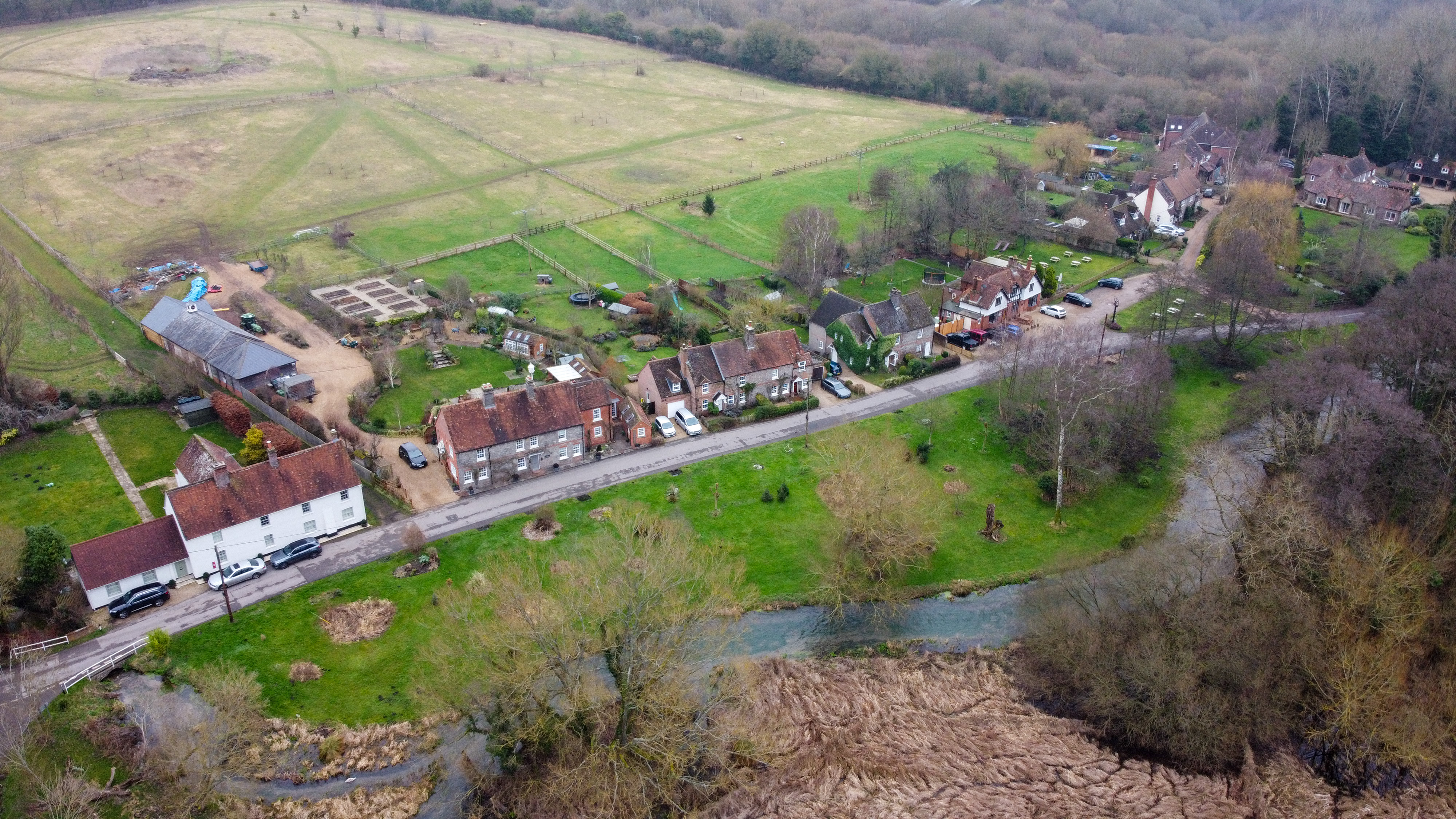
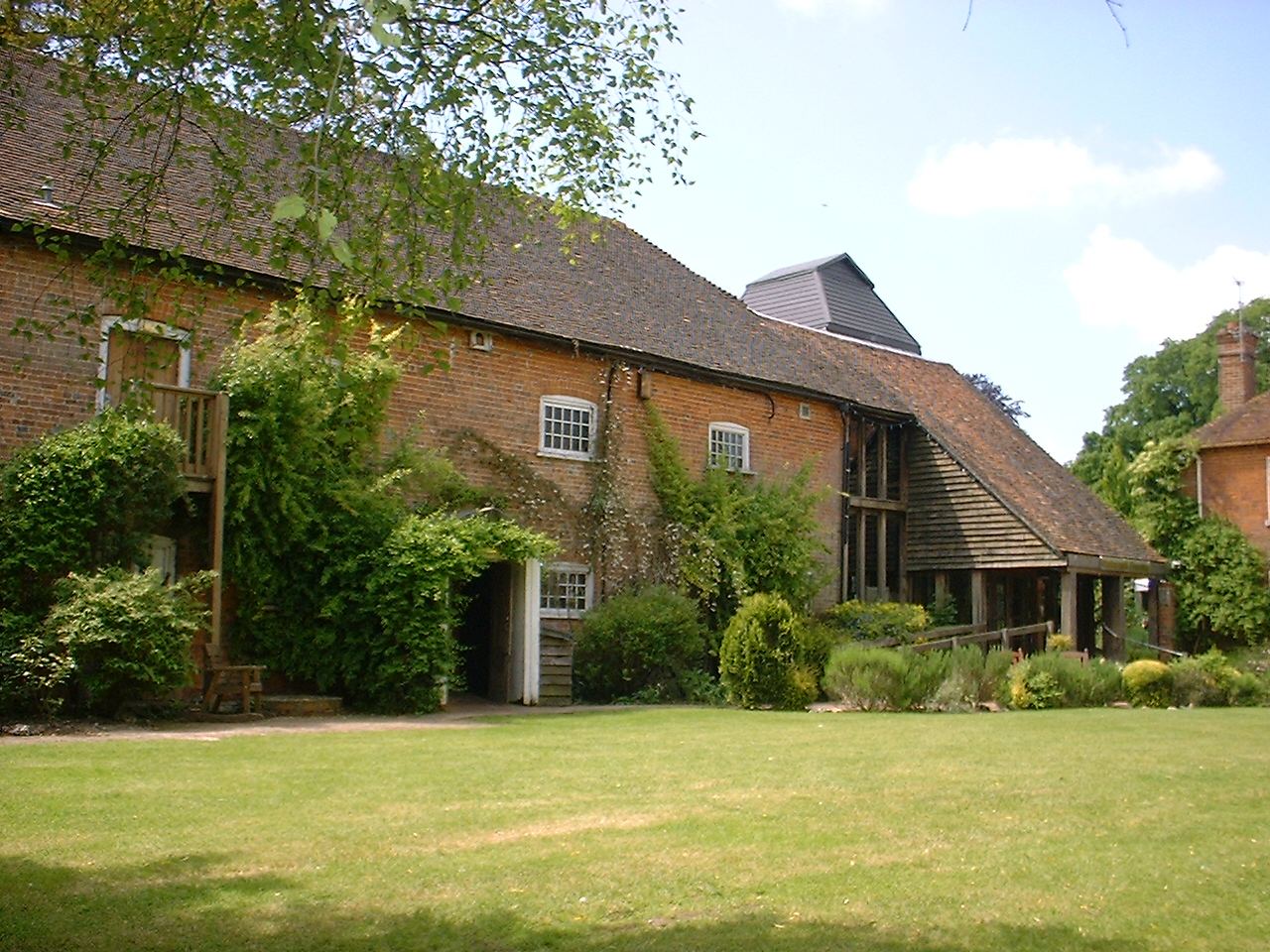
Images are sourced within 2km of 51.428421/-1.3457084 or Grid Reference SU4570. Thanks to Geograph Open Source API. All images are credited.

A34 northbound towards the M4
The A34 northbound at the M4 junction
Church, Winterbourne, Berkshire
Woodland track, Winterbourne, Berkshire
St James the Less, Winterbourne: late December 2015
St James the Less, Winterbourne: notice board
St James the Less, Winterbourne: gate memorial
St James the Less, Winterbourne: churchyard (i)
St James the Less, Winterbourne: churchyard (ii)
St James the Less, Winterbourne: churchyard (iii)
St James the Less, Winterbourne: churchyard (iv)
St James the Less, Winterbourne: churchyard (v)
St James the Less, Winterbourne: churchyard (vi)
St James the Less, Winterbourne: churchyard (vii)
St James the Less, Winterbourne: churchyard (viii)
St James the Less, Winterbourne: churchyard (ix)
St James the Less, Winterbourne: churchyard (x)
St James the Less, Winterbourne: churchyard (xi)
Show me another place!

Ashpiece Copse is located at Grid Ref: SU4570 (Lat: 51.428421, Lng: -1.3457084)

Unitary Authority: West Berkshire

Police Authority: Thames Valley

What 3 Words

///snowy.dolphin.glove. Near Winterbourne, Berkshire

Nearby Locations

Withy Copse Ashpiece Copse

Related Wikis

Honey Bottom

Honey Bottom (also written as Honeybottom) is a hamlet in the civil parish of Shaw-cum-Donnington in the English county of Berkshire. The settlement lies...

Bagnor

Bagnor is a village close to the town of Newbury in the English county of Berkshire and situated on the banks of the River Lambourn. At the 2011 census...

Watermill Theatre

The Watermill Theatre is a repertory theatre in Bagnor, Berkshire. It opened in 1967 in Bagnor Mill, a converted watermill on the River Lambourn. As a...

Snelsmore Common

Snelsmore Common is a 104-hectare (260-acre) biological Site of Special Scientific Interest north of Newbury in Berkshire. It is owned by West Berkshire...

Nearby Amenities

Located within 500m of 51.428421,-1.3457084
Power: pole
Lat/Long: 51.4241855/-1.3476789
Power: pole
Lat/Long: 51.4250953/-1.3478182
Power: pole
Lat/Long: 51.4260284/-1.347937
Power: pole
Lat/Long: 51.4272101/-1.3480997
Power: pole
Lat/Long: 51.4280287/-1.3491648
Power: pole
Lat/Long: 51.4288748/-1.3502853
Power: pole
Lat/Long: 51.4300579/-1.3512513
The data included in this document is from www.openstreetmap.org. The data is made available under ODbL.

Have you been to Ashpiece Copse?

Leave your review of Ashpiece Copse below (or comments, questions and feedback).