Pitmore Gully Copse

Wood, Forest in Hampshire Eastleigh

England

Pitmore Gully Copse

Allbrook Way heading to the M3
Allbrook Way heading to the M3 Credit: Steve Daniels

Pitmore Gully Copse, located in Hampshire, is a picturesque woodland area known for its natural beauty and diverse ecosystem. Covering an area of approximately 50 hectares, the copse is situated within the larger New Forest National Park, which spans across Hampshire, Wiltshire, and Dorset.

The woodland is primarily composed of deciduous trees, including oak, beech, and birch, creating a vibrant and ever-changing landscape throughout the seasons. The copse is also home to a variety of wildlife, such as deer, foxes, badgers, and a multitude of bird species, making it a popular destination for nature enthusiasts and birdwatchers.

Tranquil walking trails meander through the copse, allowing visitors to explore the area and immerse themselves in the serene surroundings. These paths offer glimpses of the enchanting flora and fauna that thrive within the woodland, providing a tranquil retreat from the hustle and bustle of everyday life.

Pitmore Gully Copse is not only a haven for nature lovers but also serves as an important ecological site for the conservation of local biodiversity. The copse plays a vital role in maintaining the delicate balance of the surrounding ecosystem, providing habitat for numerous species and contributing to the overall health and resilience of the New Forest.

The copse is open to the public year-round, offering visitors the opportunity to appreciate the natural beauty of Hampshire and experience the peaceful ambiance of a truly enchanting woodland. Whether one seeks solace in nature or wishes to observe the wonders of Hampshire's wildlife, Pitmore Gully Copse is a destination that promises a memorable and rejuvenating experience.

If you have any feedback on the listing, please let us know in the comments section below.

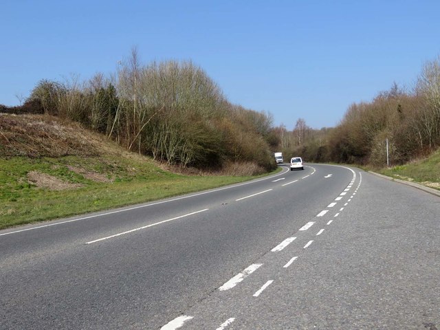
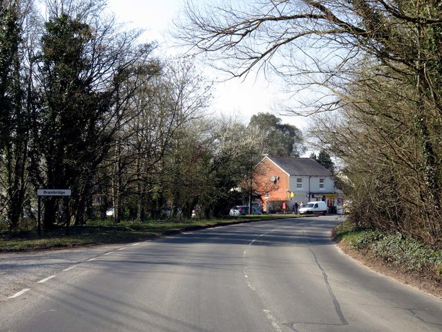
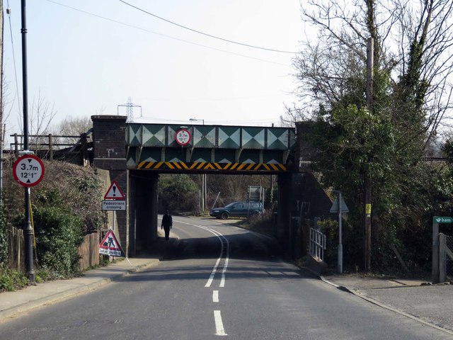
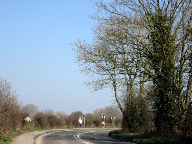
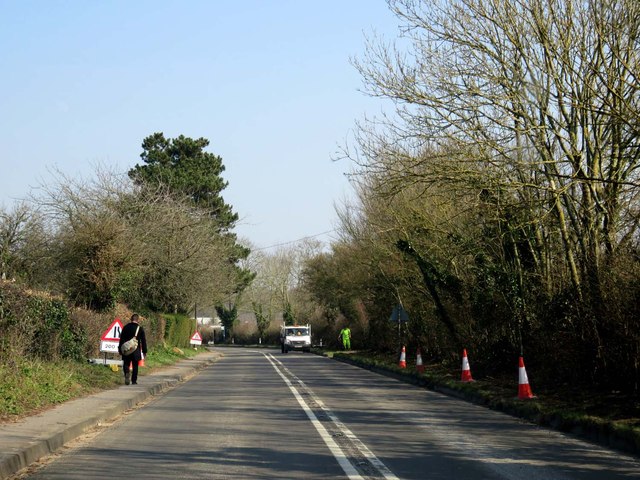
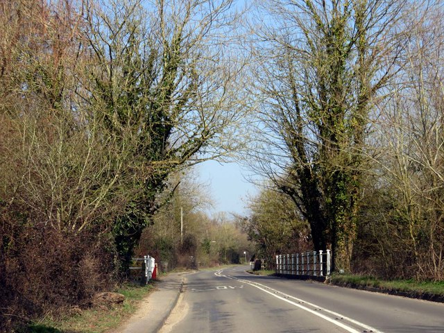
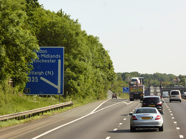
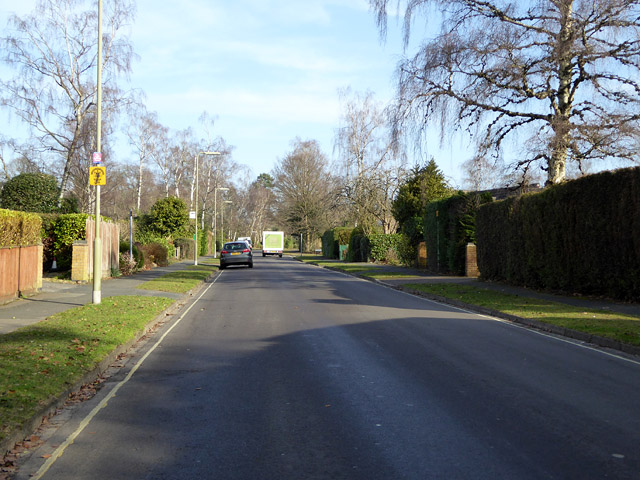
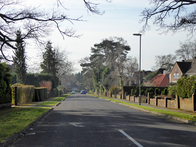
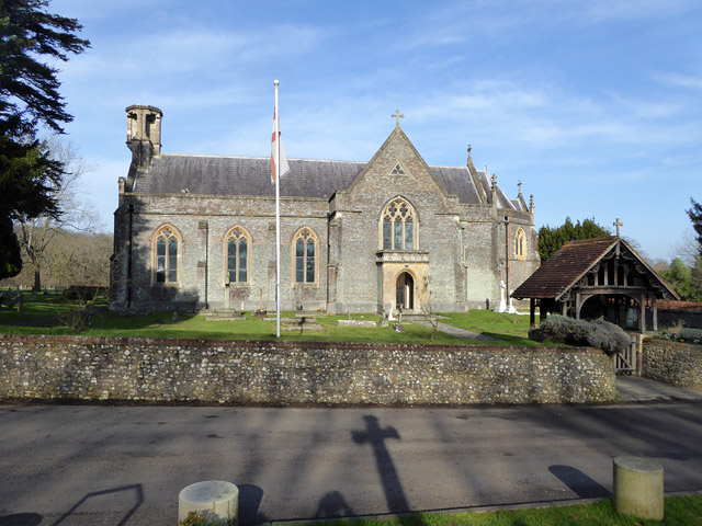
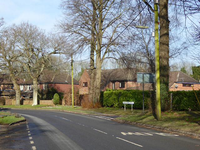
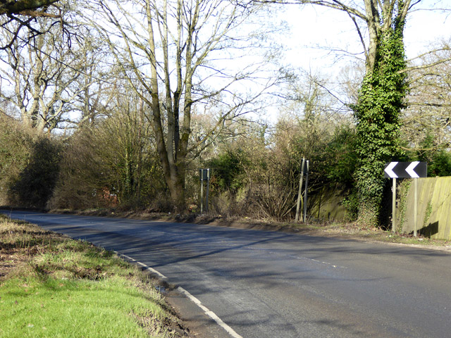
Pitmore Gully Copse Images

Images are sourced within 2km of 50.995691/-1.3542325 or Grid Reference SU4522. Thanks to Geograph Open Source API. All images are credited.

Allbrook Way heading to the M3
Church Lane through Brambridge
Railway bridge over Highbridge Road
Highbridge Road to Twyford
Highbridge Road crosses the River Itchen
Northbound M3, Exit at Junction 12 The M3 motorway runs for 59 miles from Sunbury-on-Thames to Southampton. Construction started 1968 and was finally completed in 1995. The Winchester bypass through Twyford Downs was the most controversial section to be built.
Wikipedia: <span class="nowrap"><a title="http://en.wikipedia.org/wiki/M3_motorway_(Great_Britain)" rel="nofollow ugc noopener" href="http://en.wikipedia.org/wiki/M3_motorway_(Great_Britain)">Link</a><img style="margin-left:2px;" alt="External link" title="External link - shift click to open in new window" src="https://s1.geograph.org.uk/img/external.png" width="10" height="10"/></span>
Northbound M3, Exit at Junction 12
The M3 motorway runs for 59 miles from Sunbury-on-Thames to Southampton. Construction started 1968 and was finally completed in 1995. The Winchester bypass through Twyford Downs was the most controversial section to be built. Wikipedia: LinkExternal link
Nichol Road, Hiltingbury, Chandler's Ford Looking north.
Nichol Road, Hiltingbury, Chandler's Ford
Looking north.
Marlborough Road,  Hiltingbury, Chandler's Ford Looking south.
Marlborough Road, Hiltingbury, Chandler's Ford
Looking south.
Otterbourne church St. Matthew's is a 19th century grade II*(star) listed building.
Otterbourne church
St. Matthew's is a 19th century grade II*(star) listed building.
Poles Lane, Otterbourne The turning for Norlands Drive is on the right.
Poles Lane, Otterbourne
The turning for Norlands Drive is on the right.
Bend on Poles Lane On the outskirts of Otterbourne.
Bend on Poles Lane
On the outskirts of Otterbourne.
The Church of St Edward the Confessor at Chandlers Ford Viewed from the east.
The Church of St Edward the Confessor at Chandlers Ford
Viewed from the east.
The Church of St Matthew at Otterbourne Viewed from the south-east.
The Church of St Matthew at Otterbourne
Viewed from the south-east.
Damp conditions - Woodside Avenue
Hampshire Music Services car park This excellent service occupies the site of a former junior school.
Hampshire Music Services car park
This excellent service occupies the site of a former junior school.
Ordnance Survey Flush Bracket 10047 This bracket can be found on the wall of St Matthews Church at Otterbourne.
For more detail see : <span class="nowrap"><a title="http://www.bench-marks.org.uk/bm21194" rel="nofollow ugc noopener" href="http://www.bench-marks.org.uk/bm21194">Link</a><img style="margin-left:2px;" alt="External link" title="External link - shift click to open in new window" src="https://s1.geograph.org.uk/img/external.png" width="10" height="10"/></span>
Ordnance Survey Flush Bracket 10047
This bracket can be found on the wall of St Matthews Church at Otterbourne. For more detail see : LinkExternal link
Otterbourne, Railway Bridge over Kiln Lane
Show me another place!

Pitmore Gully Copse is located at Grid Ref: SU4522 (Lat: 50.995691, Lng: -1.3542325)

Administrative County: Hampshire

District: Eastleigh

Police Authority: Hampshire

What 3 Words

///ropes.coach.ropes. Near Colden Common, Hampshire

Related Wikis

Thornden School

Thornden School is a secondary school with academy status in Chandlers Ford, Hampshire. It is an 11-16 (no sixth form), mixed specialist Arts College...

Lakeside School, Chandler's Ford

Lakeside School is an 11–16 boys special school with specialist SEN status located in Chandler's Ford, Hampshire, England. The head teacher is Mr Gareth...

Cranbury Park

Cranbury Park is a stately home and country estate situated in the parish of Hursley, Winchester, England. It was formerly the home to Sir Isaac Newton...

Otterbourne

Otterbourne is a village in Hampshire, England. It is located approximately four miles (6.4 km) south of Winchester and eight miles (13 km) north of Southampton...

Nearby Amenities

Located within 500m of 50.995691,-1.3542325
Barrier: bollard
Lat/Long: 50.9939213/-1.3551979
Barrier: bollard
Lat/Long: 50.9938472/-1.3554471
Turning Circle
Lat/Long: 50.9967932/-1.3521106
Bus Stop
The Nuffield Hospital
Bench: no
Bin: no
Bus: yes
Naptan AtcoCode: 1900HA030179
Naptan Bearing: SW
Naptan CommonName: The Nuffield Hospital
Naptan Crossing: Hocombe Road
Naptan NaptanCode: hamdagat
Naptan Street: Winchester Road
Naptan Verified: no
Public Transport: platform
Shelter: no
Source: naptan_import
Lat/Long: 50.9970486/-1.3601177
Bus Stop
The Nuffield Hospital
Bench: no
Bus: yes
Naptan AtcoCode: 1900HA030180
Naptan Bearing: NE
Naptan CommonName: The Nuffield Hospital
Naptan Crossing: Thornbury Wood
Naptan NaptanCode: hamdagad
Naptan Street: Winchester Road
Naptan Verified: no
Public Transport: platform
Shelter: no
Source: naptan_import
Lat/Long: 50.9970163/-1.3606384
Bus Stop
Otterbourne Hill Green
Bench: yes
Bus: yes
Naptan AtcoCode: 1900HA110432
Naptan Bearing: SW
Naptan CommonName: Otterbourne Hill Green
Naptan Crossing: Boyatt Lane
Naptan NaptanCode: hamdagwd
Naptan Street: Otterbourne Hill
Naptan Verified: no
Public Transport: platform
Shelter: yes
Source: naptan_import
Lat/Long: 50.9991034/-1.3547234
Bus Stop
Otterbourne Hill Green
Bench: yes
Bus: yes
Naptan AtcoCode: 1900HA110433
Naptan Bearing: NE
Naptan CommonName: Otterbourne Hill Green
Naptan Crossing: Boyatt Lane
Naptan NaptanCode: hamdagtw
Naptan Street: Otterbourne Hill
Naptan Verified: no
Public Transport: platform
Shelter: yes
Source: naptan_import
Lat/Long: 50.9991548/-1.3548742
Bus Stop
Boyatt Lane Allotments
Bus: yes
Naptan AtcoCode: 1900HA110435
Naptan Bearing: N
Naptan CommonName: Boyatt Lane Allotments
Naptan Crossing: Park Lane
Naptan NaptanCode: hamdajgt
Naptan Street: Boyatt Lane
Naptan Verified: no
Public Transport: platform
Source: naptan_import
Lat/Long: 50.9974659/-1.3526161
Post Box
Collection Plate: CP7D
Collection Times: Mo-Fr 09:00; Sa 07:00
Operator: Royal Mail
Operator Wikidata: Q638098
Post Box Type: lamp
Ref: SO21 49D
Royal Cypher: EIIR
Royal Cypher Wikidata: Q33102113
Lat/Long: 50.9985885/-1.3542192
Post Box
Winchester Road (N)
Collection Plate: CP7D
Collection Times: Mo-Fr 09:00; Sa 07:00
Operator: Royal Mail
Operator Wikidata: Q638098
Post Box Type: lamp
Ref: SO53 493D
Royal Cypher: EIIR
Royal Cypher Wikidata: Q33102113
Lat/Long: 50.9972793/-1.3599187
Barrier: entrance
Bicycle: yes
Foot: yes
Motorcar: yes
Motorcycle: yes
Lat/Long: 50.9975517/-1.3586618
Man Made: tower
Tower Type: communication
Lat/Long: 50.9972775/-1.3579069
Crossing
Bicycle: yes
Crossing: uncontrolled
Kerb: lowered
Lat/Long: 50.9997801/-1.3535175
Barrier: kissing_gate
Vehicle: no
Lat/Long: 50.9937793/-1.3555407
Mini Roundabout
Direction: clockwise
Lat/Long: 50.9972399/-1.3566909
Addr City: Otterbourne, Winchester
Addr Street: Boyatt Lane
Old Phone: +44 2380 253498
Removed Amenity: telephone
Lat/Long: 50.9985474/-1.354838
Motorway Junction
Allbrook
Ref: 12
Lat/Long: 50.9985463/-1.3569127
Bench
Backrest: no
Material: wood
Lat/Long: 50.9993578/-1.3528993
Crossing
Crossing: unmarked
Crossing Island: yes
Crossing Markings: no
Kerb: lowered
Tactile Paving: yes
Lat/Long: 50.9993226/-1.3544012
Crossing
Bicycle: yes
Crossing Island: yes
Kerb: lowered
Lat/Long: 50.999717/-1.3537505
Crossing
Bicycle: yes
Crossing: unmarked
Crossing Island: no
Crossing Markings: no
Kerb: lowered
Lat/Long: 50.9988512/-1.3552746
Bench
Backrest: yes
Colour: brown
Material: wood
Seats: 2
Lat/Long: 50.998148/-1.349811
Barrier: bollard
Bicycle: no
Foot: yes
Lat/Long: 50.9992238/-1.3554165
Post Box
Collection Plate: CP1D
Collection Times: Mo-Fr 09:00; Sa 07:00
Operator: Royal Mail
Operator Wikidata: Q638098
Post Box Type: wall
Ref: SO50 448D
Royal Cypher: GR
Royal Cypher Wikidata: Q33102273
Lat/Long: 50.9952355/-1.3520372
Generator Method: photovoltaic
Generator Output Electricity: yes
Generator Source: solar
Generator Type: solar_photovoltaic_panel
Location: roof
Power: generator
Lat/Long: 50.9926464/-1.3491967
Generator Method: photovoltaic
Generator Output Electricity: yes
Generator Source: solar
Generator Type: solar_photovoltaic_panel
Location: roof
Power: generator
Lat/Long: 50.9948832/-1.3526166
Generator Method: photovoltaic
Generator Output Electricity: yes
Generator Source: solar
Generator Type: solar_photovoltaic_panel
Location: roof
Power: generator
Lat/Long: 50.9949423/-1.3525549
Generator Method: photovoltaic
Generator Output Electricity: yes
Generator Source: solar
Generator Type: solar_photovoltaic_panel
Location: roof
Power: generator
Lat/Long: 50.9950082/-1.3525254
Generator Method: photovoltaic
Generator Output Electricity: yes
Generator Source: solar
Generator Type: solar_photovoltaic_panel
Location: roof
Power: generator
Lat/Long: 50.9950537/-1.3524959
Generator Method: photovoltaic
Generator Output Electricity: yes
Generator Source: solar
Generator Type: solar_photovoltaic_panel
Location: roof
Power: generator
Lat/Long: 50.9949102/-1.3521445
Generator Method: photovoltaic
Generator Output Electricity: yes
Generator Source: solar
Generator Type: solar_photovoltaic_panel
Location: roof
Power: generator
Lat/Long: 50.9948917/-1.3520318
Generator Method: photovoltaic
Generator Output Electricity: yes
Generator Source: solar
Generator Type: solar_photovoltaic_panel
Location: roof
Power: generator
Lat/Long: 50.994841/-1.3518253
Generator Method: photovoltaic
Generator Output Electricity: yes
Generator Source: solar
Generator Type: solar_photovoltaic_panel
Location: roof
Power: generator
Lat/Long: 50.9948258/-1.3517073
Generator Method: photovoltaic
Generator Output Electricity: yes
Generator Source: solar
Generator Type: solar_photovoltaic_panel
Location: roof
Power: generator
Lat/Long: 50.9945017/-1.3533917
Bicycle Parking
Access: yes
Bicycle Parking: stands
Capacity: 4
Covered: no
Fee: no
Lat/Long: 50.9991196/-1.3546885
Man Made: tower
Tower Type: communication
Lat/Long: 50.9990355/-1.3583886
The data included in this document is from www.openstreetmap.org. The data is made available under ODbL.

Have you been to Pitmore Gully Copse?

Leave your review of Pitmore Gully Copse below (or comments, questions and feedback).