Bentley's Plantation
Wood, Forest in Derbyshire Amber Valley
England
Bentley's Plantation
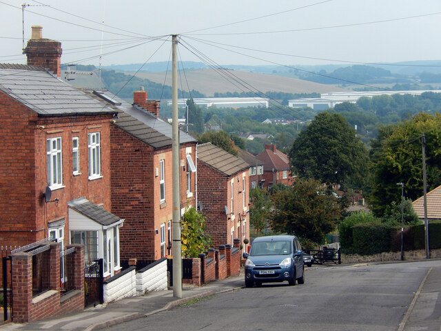
Bentley's Plantation, located in Derbyshire, is a sprawling woodland area known for its picturesque scenery and rich biodiversity. Spanning over hundreds of acres, this plantation is a haven for nature enthusiasts and wildlife lovers alike.
The plantation boasts a diverse ecosystem, characterized by a mix of deciduous and evergreen trees, including oak, birch, and pine. These trees create a dense canopy that provides shade and shelter for a wide range of flora and fauna. The forest floor is adorned with an array of wildflowers, ferns, and mosses, adding to the plantation's natural beauty.
The woodland is also home to a variety of wildlife species. Visitors may spot deer, foxes, badgers, and numerous bird species, including woodpeckers and owls. The plantation's tranquil atmosphere allows for a peaceful and immersive experience, making it an ideal spot for nature walks, birdwatching, and photography.
Bentley's Plantation is not only a natural gem but also holds historical significance. It has been managed and preserved for generations, with some parts dating back centuries. The plantation has witnessed the passage of time and serves as a reminder of the area's cultural and environmental heritage.
Access to Bentley's Plantation is carefully regulated to ensure the conservation of its flora and fauna. Visitors are encouraged to follow designated trails and respect the natural surroundings. Guided tours and educational programs are also available, providing visitors with a deeper understanding of the plantation's ecological importance.
In conclusion, Bentley's Plantation in Derbyshire is a captivating woodland retreat that offers an immersive experience in nature. With its diverse wildlife, picturesque landscapes, and historical significance, it is a must-visit destination for anyone seeking to connect with the natural world.
If you have any feedback on the listing, please let us know in the comments section below.
Bentley's Plantation Images
Images are sourced within 2km of 53.000216/-1.3266773 or Grid Reference SK4544. Thanks to Geograph Open Source API. All images are credited.
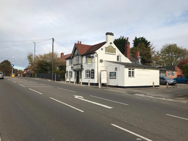
![The Erewash Canal at Bridge #23, Cotmanhay The former Bridge Inn looking increasingly derelict
<a href="https://www.geograph.org.uk/photo/4855781">SK4643 : The Bridge Inn and Bridge No 23</a>
<a href="https://www.geograph.org.uk/photo/6186238">SK4643 : The Bridge Inn, Cotmanhay [closed and tinned up]</a>](https://s3.geograph.org.uk/geophotos/07/04/47/7044747_fbfec95b.jpg)


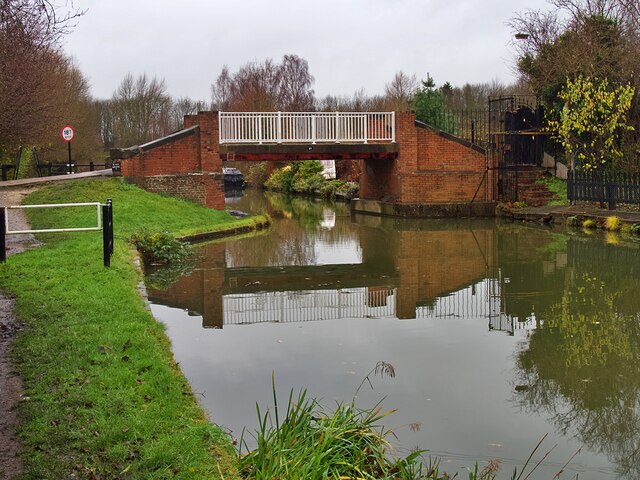
![Narrowboat 'Gone Roaming' But not roaming today as it&#039;s moored below Anchor Bridge <a href="https://www.geograph.org.uk/photo/7044756">SK4546 : Bridge #27 on the Erewash Canal</a>]](https://s2.geograph.org.uk/geophotos/07/04/47/7044758_81fe5e6c.jpg)


Bentley's Plantation is located at Grid Ref: SK4544 (Lat: 53.000216, Lng: -1.3266773)
Administrative County: Derbyshire
District: Amber Valley
Police Authority: Derbyshire
What 3 Words
///hurricane.glider.limo. Near Eastwood, Nottinghamshire
Nearby Locations
Related Wikis
Shipley, Derbyshire
Shipley is a village in the south-east of Derbyshire in the East Midlands of England. Since 1974 it has been part of the Borough of Amber Valley. The population...

The American Adventure Theme Park
The American Adventure was a theme park in Derbyshire, England, quite close to both Nottingham and Derby on the edge of Ilkeston. The park for many years...
Shipley Gate railway station
Shipley Gate railway station served the village of Shipley, Derbyshire, England from 1851 to 1948 on the Erewash Valley Line. == History == The station...

Marlpool railway station
Marlpool railway station is a former railway station that served the village of Marlpool in Derbyshire, England. It was opened on a branch line from Ilkeston...
Ilkeston Community Hospital
Ilkeston Community Hospital is a healthcare facility at Heanor Road, Ilkeston in Derbyshire, England. == History == The facility has its origins in a cottage...

Aldercar
Aldercar is a village in Derbyshire, England. It is located near Langley Mill, close to the county boundary with Nottinghamshire, and forms part of the...
Newthorpe, Greasley and Shipley Gate railway station
Newthorpe, Greasley and Shipley Gate railway station was a railway station which served the villages of Newthorpe, Greasley and Shipley Gate on the border...

A610 road
The A610 is an A-road in England, which runs from Nottingham to Ambergate, where it joins the A6. == Route == === Nottingham to Eastwood === The road starts...
Nearby Amenities
Located within 500m of 53.000216,-1.3266773Have you been to Bentley's Plantation?
Leave your review of Bentley's Plantation below (or comments, questions and feedback).