South Broadsike Plantation
Wood, Forest in Yorkshire Hambleton
England
South Broadsike Plantation

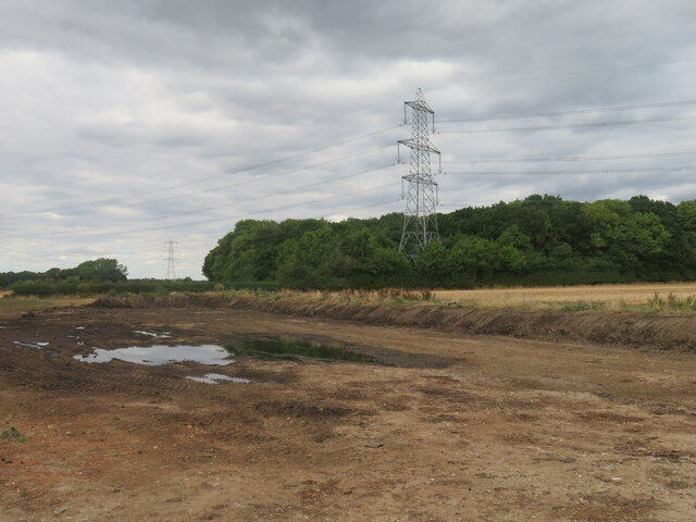
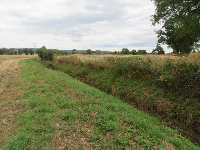
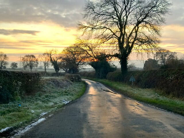
South Broadsike Plantation is a picturesque woodland located in the county of Yorkshire, England. Situated in the heart of the countryside, this expansive plantation covers a vast area of land and serves as a haven for nature lovers and outdoor enthusiasts alike.
The plantation is primarily composed of a diverse range of trees, including oak, ash, birch, and beech, which create a dense and vibrant forest. These trees provide a tranquil and peaceful atmosphere, making it a popular spot for leisurely walks, picnics, and photography.
South Broadsike Plantation is also home to a variety of wildlife, with numerous species of birds, mammals, and insects residing within its boundaries. Birdwatchers can often spot woodpeckers, owls, and various songbirds flitting between the branches, while small mammals such as rabbits, squirrels, and hedgehogs can be seen scurrying around the forest floor.
The plantation offers well-maintained footpaths and trails, allowing visitors to explore the woodland at their own pace. The paths wind through the trees and lead to charming clearings and ponds, adding to the enchanting atmosphere of the plantation.
Furthermore, South Broadsike Plantation boasts a rich history, with evidence of human habitation dating back centuries. The area was once used for timber production and has since been carefully preserved as a natural habitat.
Overall, South Broadsike Plantation in Yorkshire is a captivating destination that offers a unique combination of natural beauty, diverse wildlife, and historical significance. It provides a welcome retreat from the hustle and bustle of everyday life and is a must-visit for anyone seeking solace in the great outdoors.
If you have any feedback on the listing, please let us know in the comments section below.
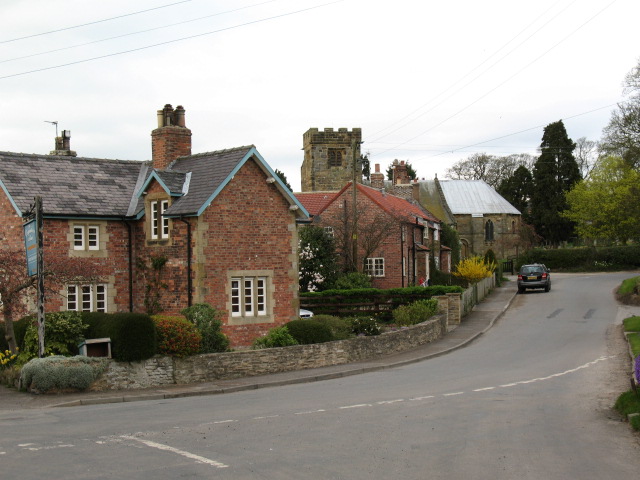
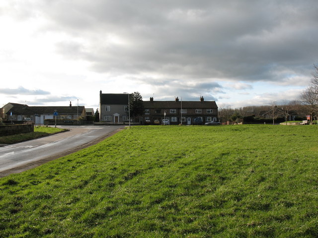
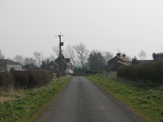
South Broadsike Plantation Images
Images are sourced within 2km of 54.253427/-1.3113472 or Grid Reference SE4484. Thanks to Geograph Open Source API. All images are credited.


South Broadsike Plantation is located at Grid Ref: SE4484 (Lat: 54.253427, Lng: -1.3113472)
Division: North Riding
Administrative County: North Yorkshire
District: Hambleton
Police Authority: North Yorkshire
What 3 Words
///splint.yelled.dips. Near Thirsk, North Yorkshire
Nearby Locations
Related Wikis
Thornbrough
Thornbrough is a civil parish in the Hambleton District of North Yorkshire, England. The population of the civil parish was estimated at 20 in 2014....
Felixkirk
Felixkirk is a village and civil parish in the Hambleton District of North Yorkshire, England. The village is situated about three miles north-east of...

Mount St. John Preceptory
Mount St. John Preceptory was a preceptory of the Knights Hospitallers near Felixkirk in North Yorkshire, England. == History == A preceptory to the honour...
South Kilvington
South Kilvington is a village and civil parish in the Hambleton district of North Yorkshire, England. It is situated just off the A19, about one mile north...

Upsall Castle
Upsall Castle is a fourteenth-century ruin, park and manor house in Upsall, in the Hambleton district of North Yorkshire, England. == History == Some records...

Upsall
Upsall is a hamlet in and civil parish in the Hambleton district of North Yorkshire, England. It is situated approximately four miles north-east of Thirsk...
North Kilvington
North Kilvington is a hamlet and civil parish in North Yorkshire, England. It is situated just off the A19, about two miles north of Thirsk. In the 2001...
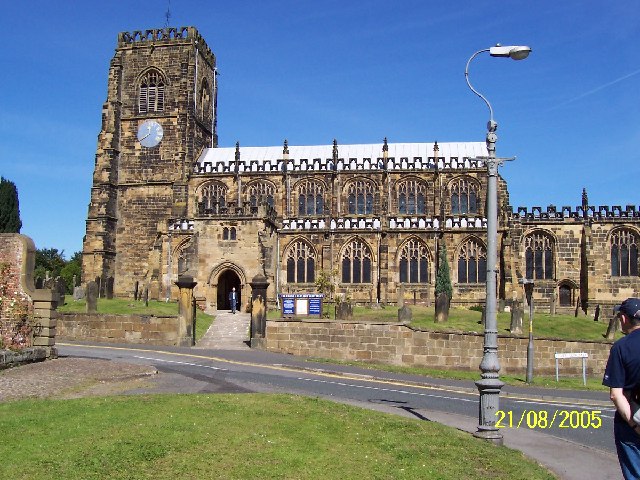
St Mary's Church, Thirsk
St Mary's Church, Thirsk is a Church of England parish church in Thirsk, North Yorkshire. The church is a grade I listed building. == History == The church...
Nearby Amenities
Located within 500m of 54.253427,-1.3113472Have you been to South Broadsike Plantation?
Leave your review of South Broadsike Plantation below (or comments, questions and feedback).