Bessels Leigh Common

Wood, Forest in Berkshire Vale of White Horse

England

Bessels Leigh Common

Plaque dedicating bus shelter to Selby Tiptaft Cornish Inscription:
This shelter is erected in loving memory of Selby Tiptaft Cornish who was killed climbing on Ben Nevis July 9th 1948
The gift of God is eternal life through Jesus Christ our Lord
Romans 6:23
Plaque dedicating bus shelter to Selby Tiptaft Cornish Credit: Ross T

The requested URL returned error: 429 Too Many Requests

If you have any feedback on the listing, please let us know in the comments section below.

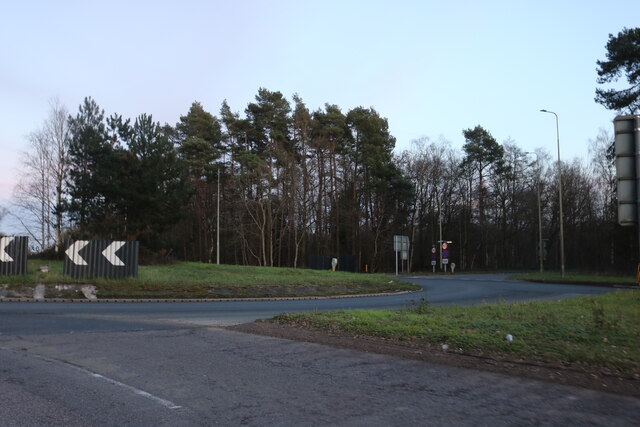
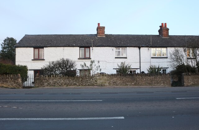
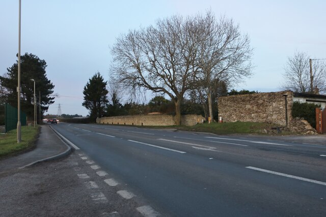
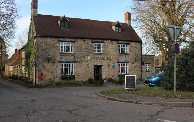
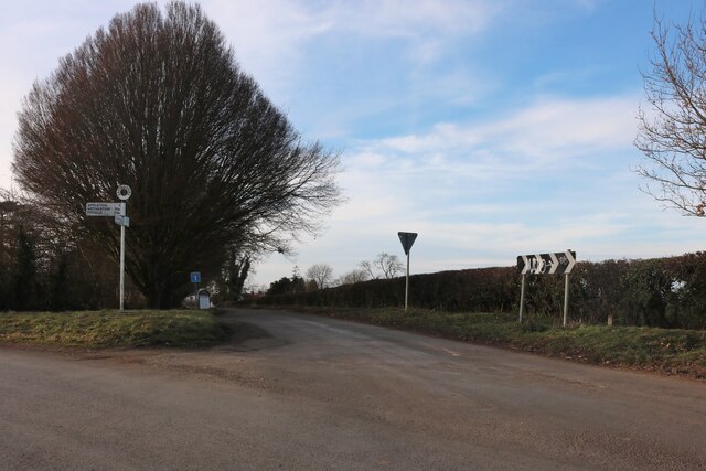
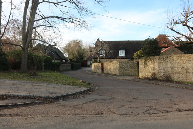
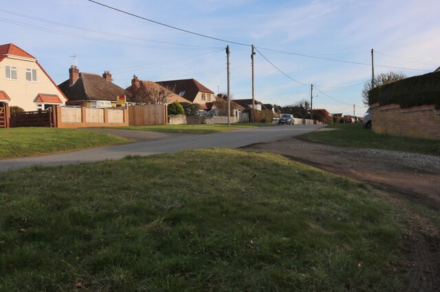
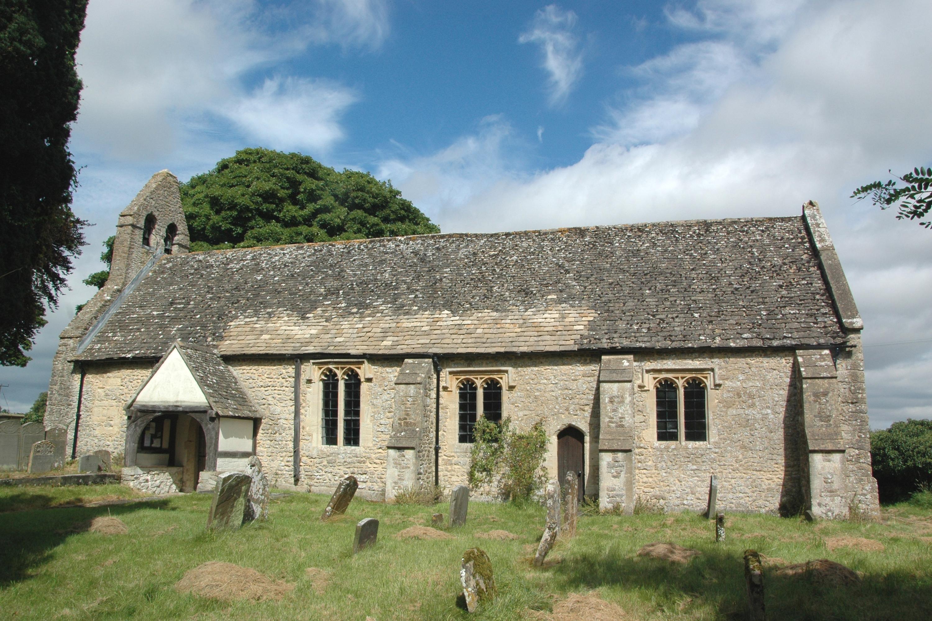
Bessels Leigh Common Images

Images are sourced within 2km of 51.709991/-1.3508748 or Grid Reference SP4401. Thanks to Geograph Open Source API. All images are credited.

Plaque dedicating bus shelter to Selby Tiptaft Cornish Inscription:
This shelter is erected in loving memory of Selby Tiptaft Cornish who was killed climbing on Ben Nevis July 9th 1948
The gift of God is eternal life through Jesus Christ our Lord
Romans 6:23
Plaque dedicating bus shelter to Selby Tiptaft Cornish
Inscription: This shelter is erected in loving memory of Selby Tiptaft Cornish who was killed climbing on Ben Nevis July 9th 1948 The gift of God is eternal life through Jesus Christ our Lord Romans 6:23
Tubney Wood Roundabout near Appleton
Rockley Cottages on Faringdon Road, Bessels Leigh
Faringdon Road, Bessels Leigh
The Greyhound pub, Bessels Leigh I've been here before. <a title="https://www.geograph.org.uk/photo/6234724" href="https://www.geograph.org.uk/photo/6234724">Link</a>
The Greyhound pub, Bessels Leigh
I've been here before. Link
The road from Bessels Leigh to Eaton
Junction on Eaton Road Eaton is on Bablock Hyde Road on the right which stops at the Thames.
Junction on Eaton Road
Eaton is on Bablock Hyde Road on the right which stops at the Thames.
Field entrance by Eaton Road
Appleton Christmas Barn This is an activity centre for parties and events.
Appleton Christmas Barn
This is an activity centre for parties and events.
Row of cottages on Eaton Road, Appleton
Church Road, Appleton
Church Road at the junction of Eaton Road
Whites Forge, Appleton
Pond in Appleton
Pond in Appleton
Houses on Lashford Lane, Dry Sandford
Lashford Lane, Dry Sandford
Lashford Lane, Dry Sandford The house in the middle has just been finished.
Lashford Lane, Dry Sandford
The house in the middle has just been finished.
Show me another place!

Bessels Leigh Common is located at Grid Ref: SP4401 (Lat: 51.709991, Lng: -1.3508748)

Administrative County: Oxfordshire

District: Vale of White Horse

Police Authority: Thames Valley

What 3 Words

///detail.cautious.birthdays. Near Marcham, Oxfordshire

Related Wikis

Besselsleigh

Besselsleigh or Bessels Leigh is an English village and civil parish about 4+1⁄2 miles (7 km) southwest of Oxford. Besselsleigh was part of Berkshire until...

Parklands Campus

Parklands Campus was an independent Non-Maintained residential special school for boys and girls aged 11 to 19, near Abingdon, Oxfordshire, England. It...

Appleton, Oxfordshire

Appleton is a village in the civil parish of Appleton-with-Eaton, about 4 miles (6.4 km) northwest of Abingdon. Appleton was part of Berkshire until the...

Appleton-with-Eaton

Appleton-with-Eaton is a civil parish in the Vale of White Horse district of Oxfordshire, England, south west of Oxford. Historically it was part of Berkshire...

Nearby Amenities

Located within 500m of 51.709991,-1.3508748
Barrier: kissing_gate
Lat/Long: 51.709758/-1.357769
Barrier: kissing_gate
Lat/Long: 51.7109112/-1.3575629
Barrier: stile
Lat/Long: 51.7092006/-1.3570363
Barrier: stile
Lat/Long: 51.7091155/-1.3569854
Power: pole
Lat/Long: 51.711273/-1.3548434
Power: pole
Lat/Long: 51.7103321/-1.3556517
Power: pole
Lat/Long: 51.7092697/-1.3560725
The data included in this document is from www.openstreetmap.org. The data is made available under ODbL.

Have you been to Bessels Leigh Common?

Leave your review of Bessels Leigh Common below (or comments, questions and feedback).