Battersley Plantation

Wood, Forest in Durham

England

Battersley Plantation

Mickle Hill Road The urban developments along the Coast Road are soon left behind as the road heads out into the country.
Mickle Hill Road Credit: Des Blenkinsopp

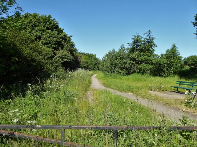
Battersley Plantation is a picturesque woodland located in Durham, England. Covering an area of approximately 200 acres, it is a haven for nature enthusiasts and hikers alike. The plantation is situated on the outskirts of Durham, making it easily accessible to both locals and visitors.

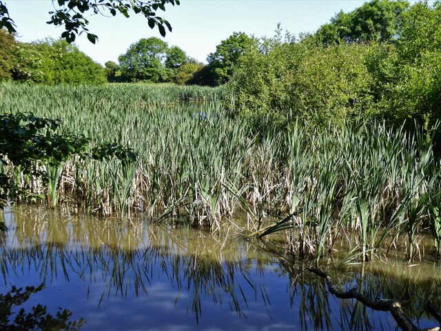
The woodland is predominantly composed of native trees such as oak, ash, and birch, creating a diverse and vibrant ecosystem. The dense canopy provides shade and protection for an array of wildlife, including various species of birds, small mammals, and insects.

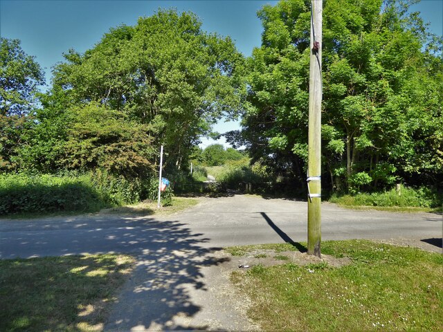
Battersley Plantation boasts a well-maintained network of footpaths and trails, making it an ideal location for walking, jogging, and cycling. The paths wind through the woodland, offering visitors the chance to immerse themselves in the tranquil surroundings and soak up the natural beauty. Along the way, there are informative signposts that provide interesting facts about the flora and fauna found within the plantation, enhancing the educational experience.

The plantation is also home to a variety of wildflowers and ferns, which add splashes of color to the lush green landscape. During the spring and summer months, the woodland comes alive with vibrant blooms, creating a stunning visual display.

Overall, Battersley Plantation is a serene and enchanting woodland that offers a peaceful retreat from the hustle and bustle of city life. With its diverse wildlife, well-maintained trails, and captivating scenery, it is truly a gem for nature lovers and outdoor enthusiasts.

If you have any feedback on the listing, please let us know in the comments section below.

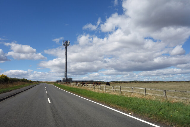
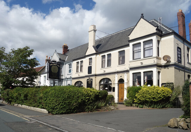
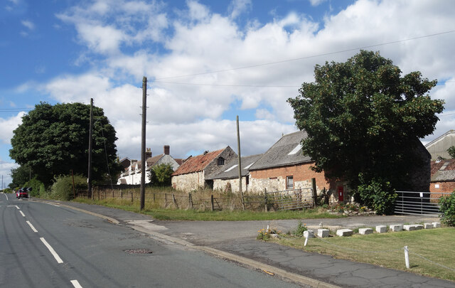
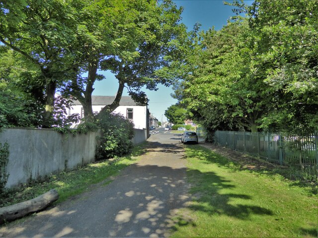
Battersley Plantation Images

Images are sourced within 2km of 54.728332/-1.3048591 or Grid Reference NZ4437. Thanks to Geograph Open Source API. All images are credited.

Mickle Hill Road The urban developments along the Coast Road are soon left behind as the road heads out into the country.
Mickle Hill Road
The urban developments along the Coast Road are soon left behind as the road heads out into the country.
The Ship Inn, High Heselden Village pub along Mickle Hill Road.
The Ship Inn, High Heselden
Village pub along Mickle Hill Road.
Mickle Hill Road, High Heselden With some old buildings belonging to High Heselden Farm.
Mickle Hill Road, High Heselden
With some old buildings belonging to High Heselden Farm.
Hardwicke Hall Manor Hotel car park Shared with Manor Motors and hopefully the car stock does not get mixed up.
Hardwicke Hall Manor Hotel car park
Shared with Manor Motors and hopefully the car stock does not get mixed up.
Hesleden WMC On Front Street
Hesleden WMC
On Front Street
Bridleway approaching Church Street The bridleway enters Hesleden by the side of Hesleden House
Bridleway approaching Church Street
The bridleway enters Hesleden by the side of Hesleden House
Cycle path following route of former railway The Hart to Haswell route has just crossed the end of East Terrace
Cycle path following route of former railway
The Hart to Haswell route has just crossed the end of East Terrace
Cycle path following route of former railway The Hart to Haswell route crossing the road to Monk Heselden. The road previously crossed the railway on a bridge, so there have been earthworks to make now the crossing of the routes on the level.
Cycle path following route of former railway
The Hart to Haswell route crossing the road to Monk Heselden. The road previously crossed the railway on a bridge, so there have been earthworks to make now the crossing of the routes on the level.
Former reservoir By the side of the Hart to Haswell Walkway
Former reservoir
By the side of the Hart to Haswell Walkway
Collapse of the poultry industry? Former poultry sheds viewed from the Hart to Haswell Walkway
Collapse of the poultry industry?
Former poultry sheds viewed from the Hart to Haswell Walkway
Cycle path following route of former railway Approaching a dangerous crossing of a track used by quarry wagons. To the left of this view is a former colliery spoil heap which is being remediated.
Cycle path following route of former railway
Approaching a dangerous crossing of a track used by quarry wagons. To the left of this view is a former colliery spoil heap which is being remediated.
Drive to Hardwicke Hall Manor Hotel Passing the entrance to Wood Cottage, screened by trees
Drive to Hardwicke Hall Manor Hotel
Passing the entrance to Wood Cottage, screened by trees
Farm track off the B1281
Crop field near Blackhall Rocks
Road to Hardwicke Hall Manor Hotel
Bridleway towards High Hesleden
B1281 towards Castle Eden
Farmland, Hesleden
Farmland, Hesleden
Show me another place!

Battersley Plantation is located at Grid Ref: NZ4437 (Lat: 54.728332, Lng: -1.3048591)

Unitary Authority: County Durham

Police Authority: Durham

What 3 Words

///cowboys.neat.sweetened. Near Peterlee, Co. Durham

Related Wikis

Monk Hesleden

Monk Hesleden is a village and civil parish in County Durham, England. The population of the parish at the 2011 Census was 5,722. The parish is situated...

Hulam Fen

Hulam Fen is a Site of Special Scientific Interest in the Easington district of east County Durham, England, just south of the village of Hesleden, about...

High Hesleden

High Hesleden is a village in Monk Hesleden parish, County Durham, in England. It is situated a few miles north of Hartlepool, between Blackhall Rocks...

Hesleden

Hesleden ( HEZ-əl-dən) is a village in County Durham, England, south of Peterlee. The name is a combination of Dene and Hesle, which is from "hazel". The...

Hart Bog

Hart Bog (grid reference NZ452354) is a 1.79 hectare biological Site of Special Scientific Interest in County Durham, England notified in 1968. SSSIs are...

Blackhall Rocks

Blackhall Rocks is a village on the North Sea coast of County Durham, North East England. It is situated on the A1086 between Horden and Hartlepool, and...

Eden Vale

Eden Vale is a small village in County Durham, in England. It is a few miles to the south of Peterlee. == References ==

Blackhall Colliery

Blackhall Colliery is a village on the North Sea coast of County Durham, in England. It is situated on the A1086 between Horden and Hartlepool. To the...

Nearby Amenities

Located within 500m of 54.728332,-1.3048591
Castle Eden
Ele: 92.41
Man Made: tower
Operator: Cellnex
Tower Type: communication
Lat/Long: 54.7250026/-1.2998997
Power: pole
Lat/Long: 54.7272974/-1.3034816
Power: pole
Lat/Long: 54.7255914/-1.3012589
Power: pole
Lat/Long: 54.7310273/-1.3047817
Power: pole
Lat/Long: 54.7267732/-1.3028051
Power: pole
Lat/Long: 54.7279755/-1.3037593
Power: pole
Lat/Long: 54.7318878/-1.3049964
Power: pole
Lat/Long: 54.7327458/-1.3051948
Power: pole
Lat/Long: 54.7302349/-1.3045872
Power: pole
Lat/Long: 54.7293937/-1.3042853
Power: pole
Lat/Long: 54.7261761/-1.3020343
Battersley Hill
Natural: peak
Source: OS OpenData StreetView
Lat/Long: 54.725044/-1.3084867
Barrier: block
Foot: yes
Lat/Long: 54.7257786/-1.2992149
The data included in this document is from www.openstreetmap.org. The data is made available under ODbL.

Have you been to Battersley Plantation?

Leave your review of Battersley Plantation below (or comments, questions and feedback).