All Oaks Wood

Wood, Forest in Warwickshire Rugby

England

All Oaks Wood

Bridleway to Stretton under Fosse The gate marks the end of Tumley Hill and a walk across flatter arable land where broad beans and potatoes are being grown.
Bridleway to Stretton under Fosse Credit: Stephen McKay

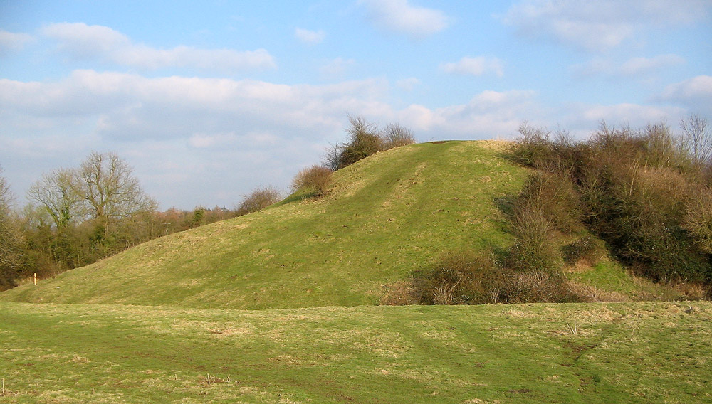
All Oaks Wood is a beautiful forest located in Warwickshire, England. Covering an area of approximately 500 acres, it is known for its dense oak tree population, hence the name. The woodland is a mixture of ancient and newly planted trees, creating a diverse and captivating landscape.

The forest is a popular destination for nature enthusiasts and hikers, offering a wide range of trails that wind through its lush greenery. These trails vary in difficulty, catering to both beginners and experienced hikers. Visitors can enjoy peaceful walks and immerse themselves in the tranquil atmosphere of the wood.

Wildlife thrives in All Oaks Wood, providing a habitat for various species. Birdwatchers can spot a variety of birds, including woodpeckers, owls, and jays. The forest is also home to small mammals such as foxes, rabbits, and squirrels, adding to its ecological significance.

In addition to its natural beauty, All Oaks Wood has historical significance. The forest has been standing for centuries and has witnessed the passage of time. It has served as a source of timber for local communities and played a role in the region's industrial development.

To preserve its natural wonders, All Oaks Wood is managed by local authorities and conservation organizations. Efforts are made to maintain the delicate balance of the ecosystem and protect the forest from any potential threats.

Overall, All Oaks Wood is a captivating destination for those seeking solace in nature. Its ancient oaks, diverse wildlife, and historical importance make it a cherished gem in the Warwickshire countryside.

If you have any feedback on the listing, please let us know in the comments section below.

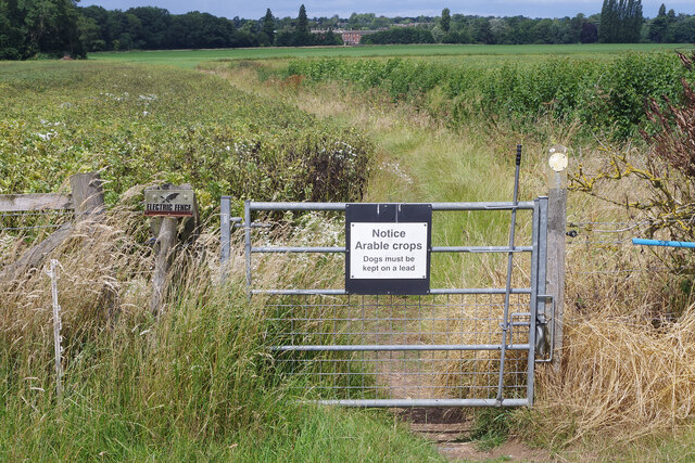
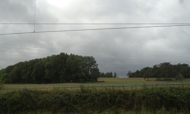
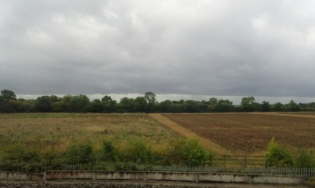
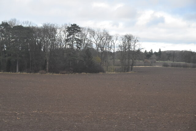
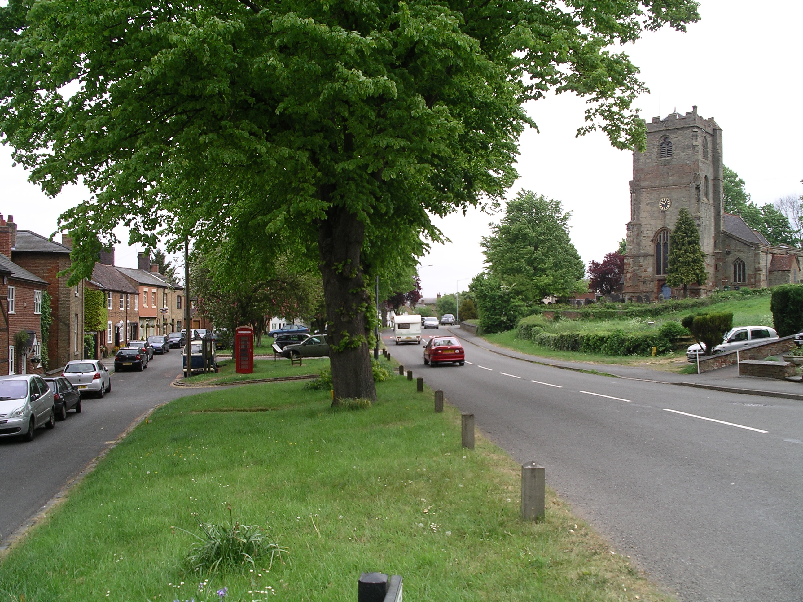
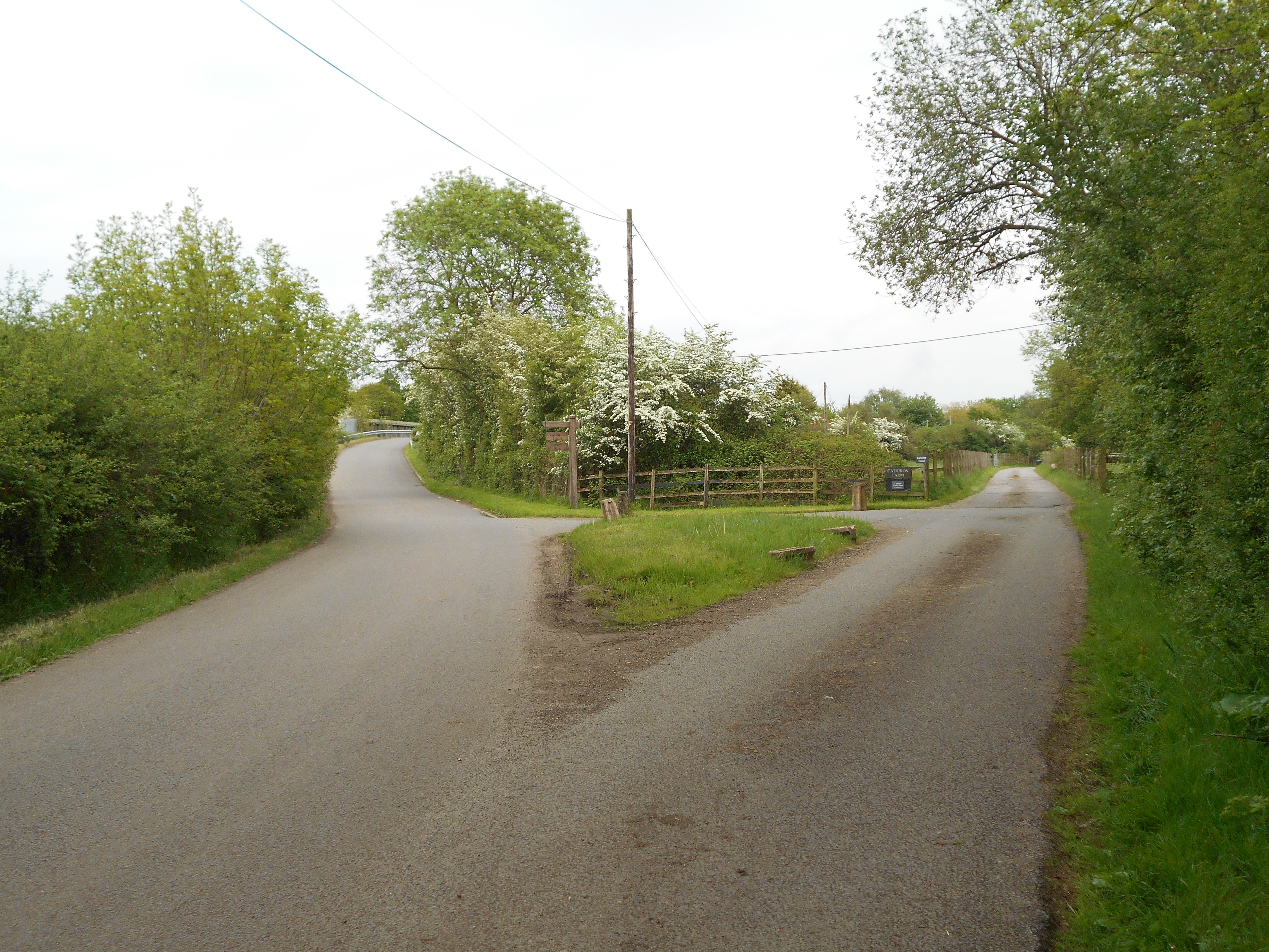
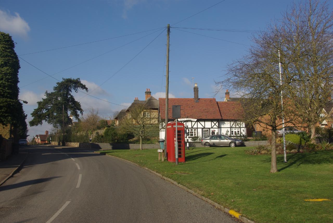
All Oaks Wood Images

Images are sourced within 2km of 52.403238/-1.3438098 or Grid Reference SP4478. Thanks to Geograph Open Source API. All images are credited.

Bridleway to Stretton under Fosse The gate marks the end of Tumley Hill and a walk across flatter arable land where broad beans and potatoes are being grown.
Bridleway to Stretton under Fosse
The gate marks the end of Tumley Hill and a walk across flatter arable land where broad beans and potatoes are being grown.
Bridleway to Stretton under Fosse The bridleway from Easenhall skirts a large field of potatoes. In the background is Newbold Revel an 18th country house now used as a prison service training college.
Bridleway to Stretton under Fosse
The bridleway from Easenhall skirts a large field of potatoes. In the background is Newbold Revel an 18th country house now used as a prison service training college.
Minor road towards King's Newnham
Newnham Lane at King's Newnham
Newnham Lane towards King's Newnham
Entrance to Goodes Farm near Brinklow
Minor road towards Brinklow
Larch Spinney
Larch Spinney
Fields toward the Oxford Canal
Little Gorse
Little Gorse
Fennis Field Bridge Grade II listed. Listing number 1233718. Bridge carrying towpath across abandoned Fennis Field Arm. 1831-34. Single span, cambered deck made of prefabricated cast-iron plates. Openwork parapet of moulded cast-iron railings forming a regular, attenuated diamond pattern. Solid brick abutments and trailing edge wing walls, with brick copings. Constructed during improvements to Oxford Canal carried out with William Cubitt as consulting engineer.
Fennis Field Bridge
Grade II listed. Listing number 1233718. Bridge carrying towpath across abandoned Fennis Field Arm. 1831-34. Single span, cambered deck made of prefabricated cast-iron plates. Openwork parapet of moulded cast-iron railings forming a regular, attenuated diamond pattern. Solid brick abutments and trailing edge wing walls, with brick copings. Constructed during improvements to Oxford Canal carried out with William Cubitt as consulting engineer.
Bridge 38 on the Oxford Canal Near Essenhall.
Bridge 38 on the Oxford Canal
Near Essenhall.
Bridge 37 on the Oxford Canal Near Essenhall.
Bridge 37 on the Oxford Canal
Near Essenhall.
Oxford Canal Near Brinklow.
Oxford Canal
Near Brinklow.
Oxford Canal Near Brinklow.
Oxford Canal
Near Brinklow.
Morgan's Bridge Grade II listed. Listing number 1276482. Bridge carrying towpath across abandoned Brinklow Arm. 1831-34 with slight C20 alterations. Single span, cambered deck made of prefabricated cast-iron plates. Openwork parapet of moulded cast-iron railings forming a regular, attenuated diamond pattern. Solid brick abutments and trailing edge wing walls, with brick copings. Constructed during improvements to Oxford Canal carried out with William Cubitt as consulting engineer.
Morgan's Bridge
Grade II listed. Listing number 1276482. Bridge carrying towpath across abandoned Brinklow Arm. 1831-34 with slight C20 alterations. Single span, cambered deck made of prefabricated cast-iron plates. Openwork parapet of moulded cast-iron railings forming a regular, attenuated diamond pattern. Solid brick abutments and trailing edge wing walls, with brick copings. Constructed during improvements to Oxford Canal carried out with William Cubitt as consulting engineer.
Bridleway to Stretton under Fosse The bridleway passes this large farm building on the edge of Easenhall before heading over Tumley Hill in more open countryside.
Bridleway to Stretton under Fosse
The bridleway passes this large farm building on the edge of Easenhall before heading over Tumley Hill in more open countryside.
Bridleway over Tumley Hill The bridleway leads from Easenhall to Stretton under Fosse entering open country after this gate. The green notice asks users to take nothing but photographs.
Bridleway over Tumley Hill
The bridleway leads from Easenhall to Stretton under Fosse entering open country after this gate. The green notice asks users to take nothing but photographs.
Show me another place!

All Oaks Wood is located at Grid Ref: SP4478 (Lat: 52.403238, Lng: -1.3438098)

Administrative County: Warwickshire

District: Rugby

Police Authority: Warwickshire

What 3 Words

///warp.fraction.loaders. Near Brinklow, Warwickshire

Nearby Locations

All Oaks Wood

Related Wikis

Nearby Amenities

Located within 500m of 52.403238,-1.3438098
Barrier: kissing_gate
Lat/Long: 52.4038355/-1.3506239
The data included in this document is from www.openstreetmap.org. The data is made available under ODbL.

Have you been to All Oaks Wood?

Leave your review of All Oaks Wood below (or comments, questions and feedback).