Adderley Spinney

Wood, Forest in Warwickshire Rugby

England

Adderley Spinney

Stretton Arm, Oxford Canal The Oxford Canal was one of the first generation of canals in the United Kingdom and was built following contours in a winding, circuitous route.  In the 1820s the northern section, from Coventry to Braunston Junction (where it connected with the Grand Junction canal to London) was radically shortened by cutting off loops and meanders with embankments and cuttings.  Some sections of the superseded loops remain in water and this is one, stretching a short way from the main line towards Stretton-under-Fosse: it is used for moorings and a boatyard.
Stretton Arm, Oxford Canal Credit: Christopher Hilton

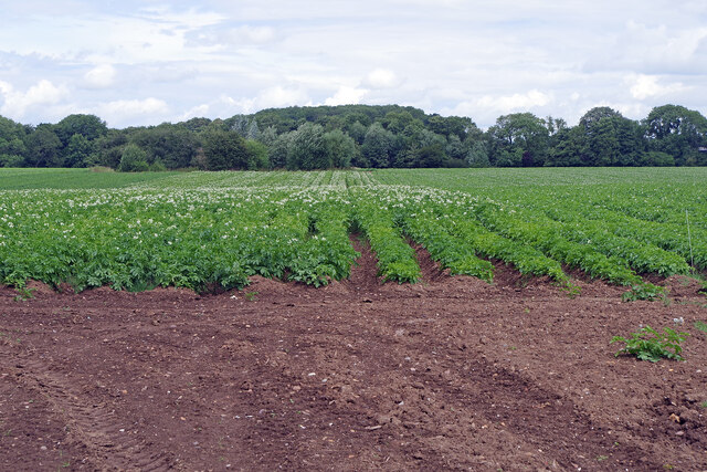
Adderley Spinney is a picturesque woodland located in Warwickshire, England. Situated near the village of Wood, it covers an area of approximately 30 acres and is known for its abundant natural beauty and diverse wildlife.

The Spinney is primarily composed of native broadleaf trees, including oak, ash, and beech, which create a dense and lush canopy. This provides a habitat for a variety of flora and fauna, making it a popular destination for nature enthusiasts and birdwatchers. The woodland floor is carpeted with wildflowers during the spring and summer months, adding splashes of vibrant colors to the landscape.

The Spinney is home to a range of wildlife, including squirrels, badgers, and foxes. It also serves as a nesting site for various bird species, such as woodpeckers, owls, and songbirds. Visitors can often spot these creatures while walking along the well-maintained trails that wind through the woodland.

The woodland is managed by the local authorities, who ensure its preservation and protection. They have implemented measures to maintain the ecological balance and promote sustainable practices. As a result, Adderley Spinney provides a tranquil and serene environment for visitors to enjoy and appreciate the wonders of nature.

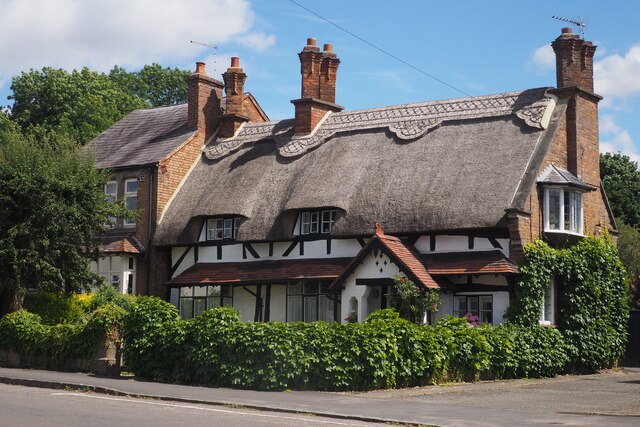
In addition to its natural beauty, the Spinney also offers recreational opportunities, such as hiking, picnicking, and nature photography. Its close proximity to the village of Wood makes it easily accessible for both locals and tourists.

Overall, Adderley Spinney in Warwickshire is a hidden gem, offering a peaceful retreat and a chance to reconnect with nature.

If you have any feedback on the listing, please let us know in the comments section below.

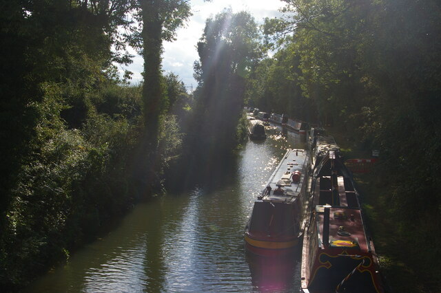
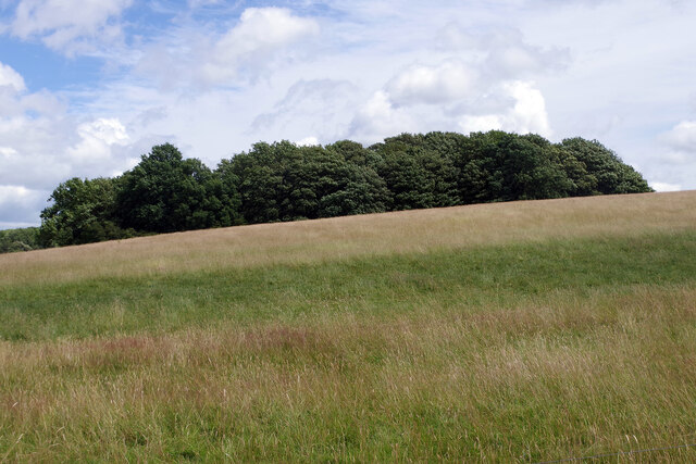
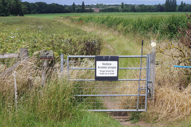
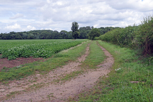
Adderley Spinney Images

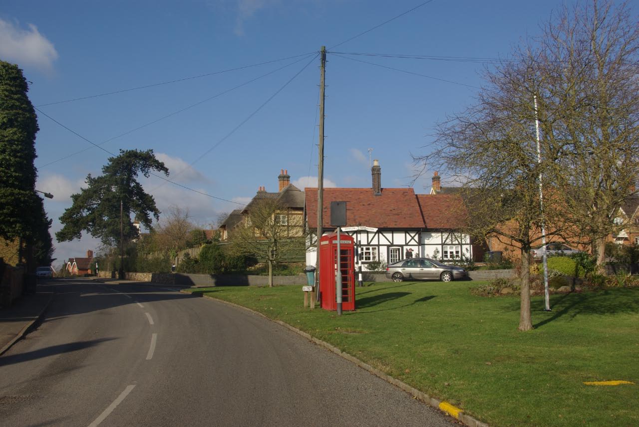
Images are sourced within 2km of 52.407936/-1.3448132 or Grid Reference SP4479. Thanks to Geograph Open Source API. All images are credited.

Stretton Arm, Oxford Canal The Oxford Canal was one of the first generation of canals in the United Kingdom and was built following contours in a winding, circuitous route.  In the 1820s the northern section, from Coventry to Braunston Junction (where it connected with the Grand Junction canal to London) was radically shortened by cutting off loops and meanders with embankments and cuttings.  Some sections of the superseded loops remain in water and this is one, stretching a short way from the main line towards Stretton-under-Fosse: it is used for moorings and a boatyard.
Stretton Arm, Oxford Canal
The Oxford Canal was one of the first generation of canals in the United Kingdom and was built following contours in a winding, circuitous route. In the 1820s the northern section, from Coventry to Braunston Junction (where it connected with the Grand Junction canal to London) was radically shortened by cutting off loops and meanders with embankments and cuttings. Some sections of the superseded loops remain in water and this is one, stretching a short way from the main line towards Stretton-under-Fosse: it is used for moorings and a boatyard.
Boatyard, Stretton Wharf The Oxford Canal was one of the first generation of canals in the United Kingdom and was built following contours in a winding, circuitous route. In the 1820s the northern section, from Coventry to Braunston Junction (where it connected with the Grand Junction canal to London) was radically shortened by cutting off loops and meanders with embankments and cuttings. Some sections of the superseded loops remain in water and this is one, stretching a short way from the main line towards Stretton-under-Fosse: it is used for moorings and a boatyard.
Boatyard, Stretton Wharf
The Oxford Canal was one of the first generation of canals in the United Kingdom and was built following contours in a winding, circuitous route. In the 1820s the northern section, from Coventry to Braunston Junction (where it connected with the Grand Junction canal to London) was radically shortened by cutting off loops and meanders with embankments and cuttings. Some sections of the superseded loops remain in water and this is one, stretching a short way from the main line towards Stretton-under-Fosse: it is used for moorings and a boatyard.
Stretton Stop – 1978 Site of a substantial boatyard from which a substantial boat hire business has also developed.

Compare the boats seen here with the same scene 30 years later <a title="https://www.geograph.org.uk/photo/1051679" href="https://www.geograph.org.uk/photo/1051679">Link</a> 

The Stop is the narrow section where gauging of boats took place to assess the tolls to be charged.
Stretton Stop – 1978
Site of a substantial boatyard from which a substantial boat hire business has also developed. Compare the boats seen here with the same scene 30 years later Link The Stop is the narrow section where gauging of boats took place to assess the tolls to be charged.
Oxford Canal Near Stretton under Fosse.
Oxford Canal
Near Stretton under Fosse.
Bridge 30 over the Oxford Canal Carrying the B4428.
Bridge 30 over the Oxford Canal
Carrying the B4428.
Stretton Stop On the Oxford Canal.
Stretton Stop
On the Oxford Canal.
Narrowboats moored at Stretton Stop On the Oxford Canal.
Narrowboats moored at Stretton Stop
On the Oxford Canal.
Tumley Wood The camera is straight but Tumley Wood on the slope of Tumley Hill is not.
Tumley Wood
The camera is straight but Tumley Wood on the slope of Tumley Hill is not.
Bridleway to Stretton under Fosse The gate marks the end of Tumley Hill and a walk across flatter arable land where broad beans and potatoes are being grown.
Bridleway to Stretton under Fosse
The gate marks the end of Tumley Hill and a walk across flatter arable land where broad beans and potatoes are being grown.
Farmland north of Easenhall The track heads towards Conery Spinney alongside a field of potatoes.
Farmland north of Easenhall
The track heads towards Conery Spinney alongside a field of potatoes.
Farmland north of Easenhall An extensive potato crop can be seen here from the Easenhall to Stretton under Fosse bridleway.
Farmland north of Easenhall
An extensive potato crop can be seen here from the Easenhall to Stretton under Fosse bridleway.
Bridleway to Stretton under Fosse The bridleway from Easenhall skirts a large field of potatoes. In the background is Newbold Revel an 18th country house now used as a prison service training college.
Bridleway to Stretton under Fosse
The bridleway from Easenhall skirts a large field of potatoes. In the background is Newbold Revel an 18th country house now used as a prison service training college.
Thatched Cottage in Brinklow Warwickshire This very attractive cottage dates from the 17th century and is situated in Broad Street, Brinklow.
Thatched Cottage in Brinklow Warwickshire
This very attractive cottage dates from the 17th century and is situated in Broad Street, Brinklow.
An attractive House in Broad Street Brinklow
St John the Baptist Church Brinklow
An old Cottage in Brinklow On Broad Street in Brinklow, Warwickshire
An old Cottage in Brinklow
On Broad Street in Brinklow, Warwickshire
Barr Lane in Brinklow Some very old cottages on Broad Street.
Barr Lane in Brinklow
Some very old cottages on Broad Street.
Minor road towards King's Newnham
Show me another place!

Adderley Spinney is located at Grid Ref: SP4479 (Lat: 52.407936, Lng: -1.3448132)

Administrative County: Warwickshire

District: Rugby

Police Authority: Warwickshire

What 3 Words

///riverbed.broadcast.preparing. Near Brinklow, Warwickshire

Related Wikis

Hungerfield

Hungerfield is a hamlet in the parish of Easenhall in the borough of Rugby in the County of Warwickshire in England. Hungerfield is a small collection...

Rugby (UK Parliament constituency)

Rugby is a constituency represented in the House of Commons of the UK Parliament since its 2010 recreation by Mark Pawsey, a Conservative. == History... ==
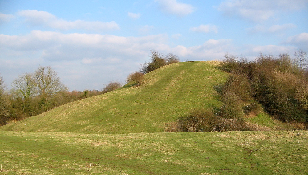
Brinklow Castle

Brinklow Castle, known locally as the Tump, is a medieval castle in the village of Brinklow in the county of Warwickshire between Coventry and Rugby....
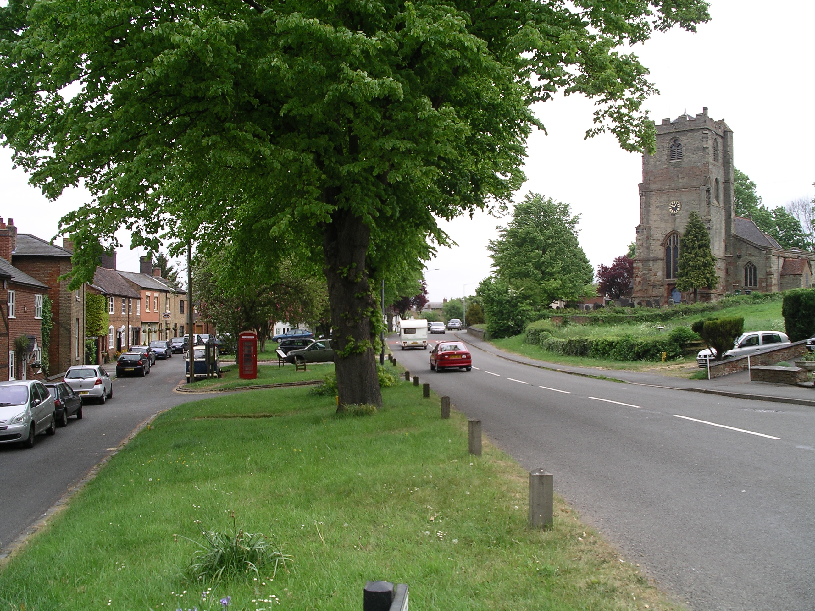
Brinklow

Brinklow is a village and civil parish in the Rugby district of Warwickshire, England. It is about halfway between Rugby and Coventry, and has a population...

Brinklow railway station

Brinklow railway station was a railway station almost midway between Brinklow and Stretton-Under-Fosse in the English county of Warwickshire, opened in...

Easenhall

Easenhall is a small village and civil parish in Warwickshire, England, three miles north-west of the town of Rugby and a mile south of the M6 motorway...
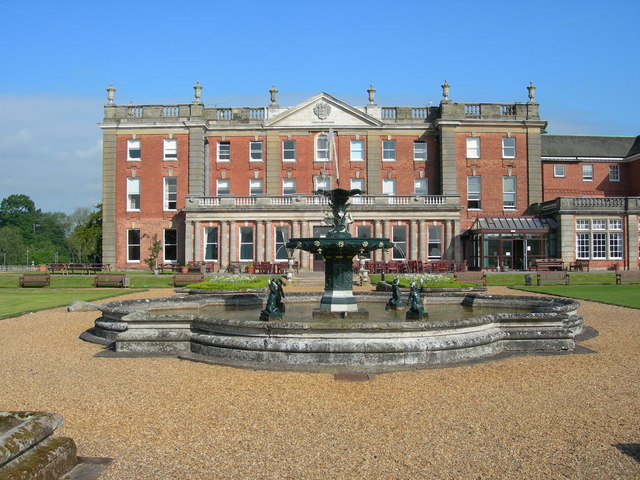
Newbold Revel

Newbold Revel refers to an existing 18th-century country house and a historic manorial estate in North East Warwickshire. In the fifteenth century, the...

King's Newnham

King's Newnham (otherwise known as Newnham Regis) is a village and civil parish located just under 2.5 miles (4 km) west of the town of Rugby and 4.5 miles...

Nearby Amenities

Located within 500m of 52.407936,-1.3448132
The data included in this document is from www.openstreetmap.org. The data is made available under ODbL.

Have you been to Adderley Spinney?

Leave your review of Adderley Spinney below (or comments, questions and feedback).