Leonard's Plantation

Wood, Forest in Berkshire

England

Leonard's Plantation

Village house and old AA road sign, Winterbourne, Berkshire
Village house and old AA road sign, Winterbourne, Berkshire Credit: Oswald Bertram

Leonard's Plantation is a picturesque woodland area located in Berkshire, England. Situated in the heart of the county, this plantation covers a vast area of approximately 200 acres, making it an attractive destination for nature enthusiasts and outdoor lovers.

The plantation is known for its diverse collection of trees, primarily consisting of oak, beech, and pine. These tall, majestic trees create a dense canopy that provides shade and shelter for a variety of flora and fauna. The forest floor is carpeted with a rich layer of moss, ferns, and wildflowers, adding to the enchanting beauty of the area.

Leonard's Plantation offers a network of well-maintained walking trails that wind their way through the woodland. These trails provide visitors with the opportunity to explore and immerse themselves in nature's tranquility. Along the way, hikers may encounter various bird species, including woodpeckers, thrushes, and owls, creating a symphony of natural sounds.

Within the plantation, there are several designated picnic areas, allowing visitors to relax and enjoy a meal amidst the stunning surroundings. Additionally, the plantation offers educational programs and guided tours, providing an insight into the rich biodiversity and history of the area.

Leonard's Plantation is easily accessible, with ample parking facilities and a visitor center that offers maps and information. Whether you are seeking a peaceful escape, a family outing, or a chance to reconnect with nature, Leonard's Plantation is a captivating destination that promises a memorable experience.

If you have any feedback on the listing, please let us know in the comments section below.

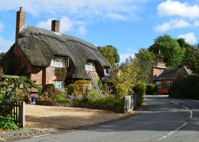
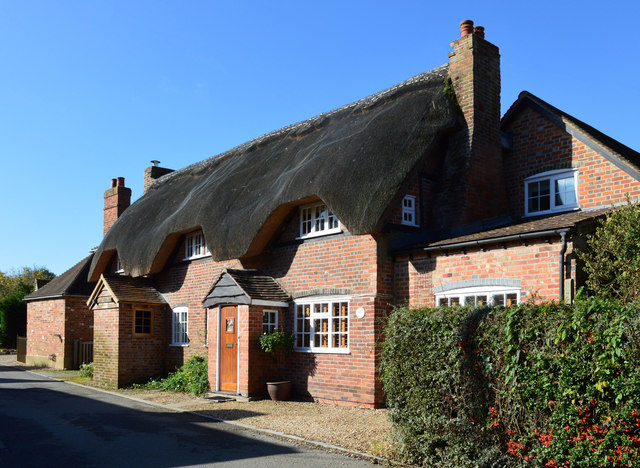
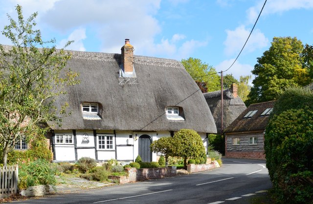
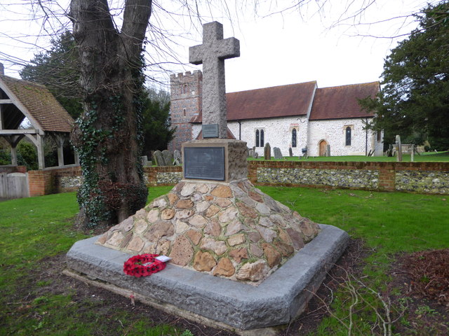
Leonard's Plantation Images

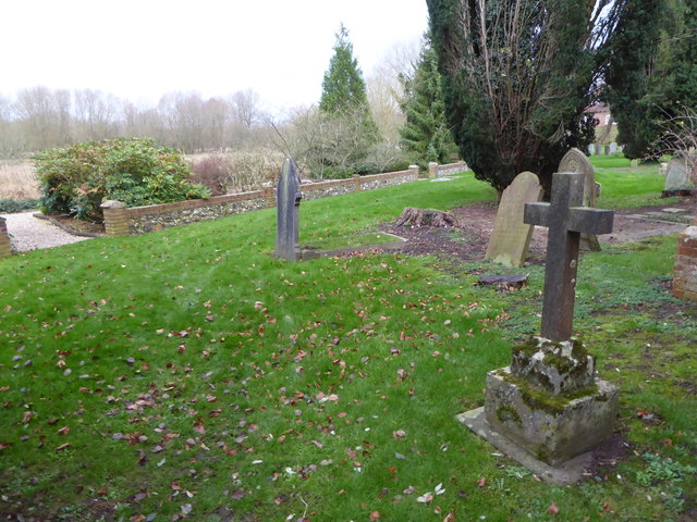
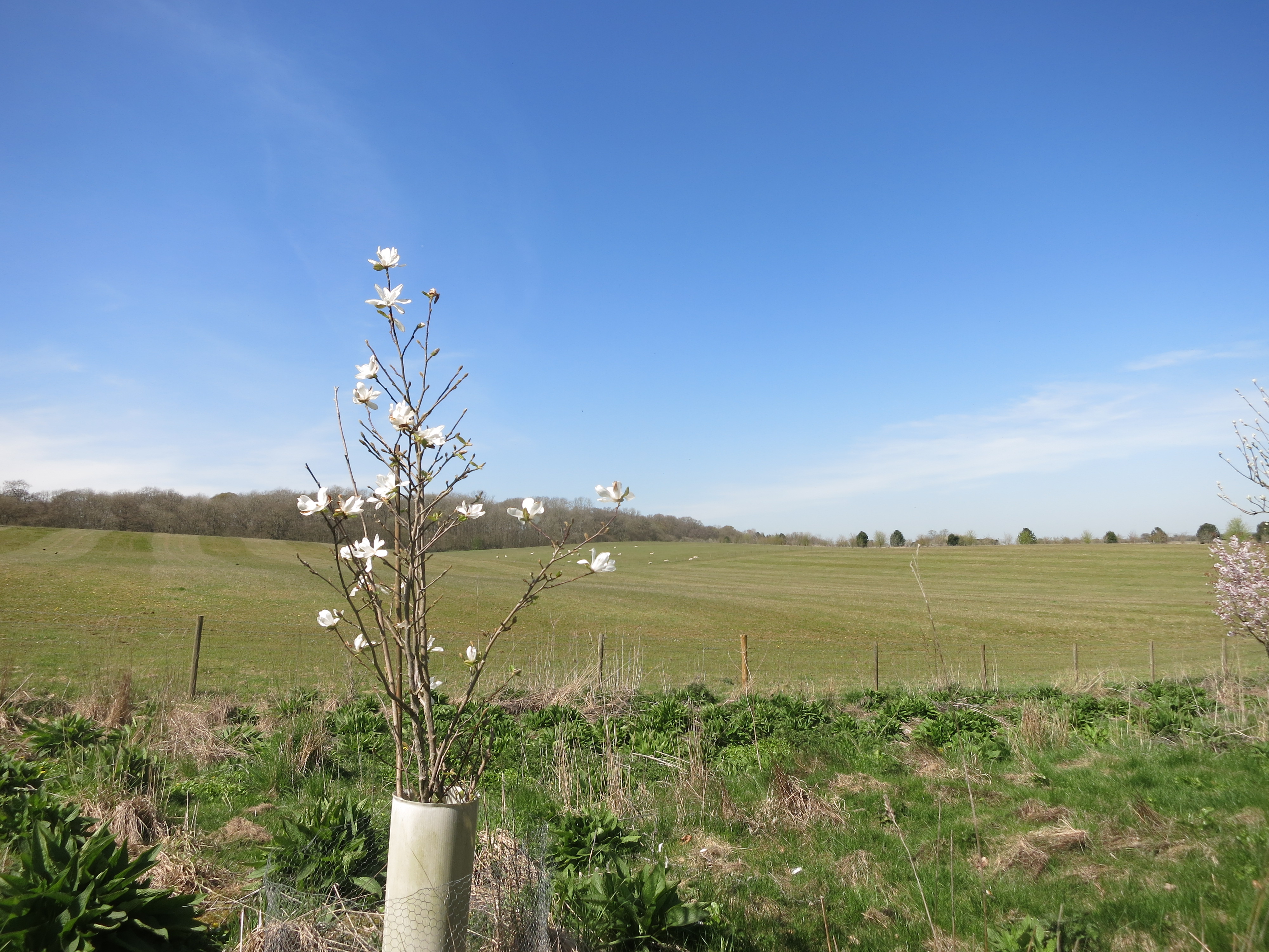
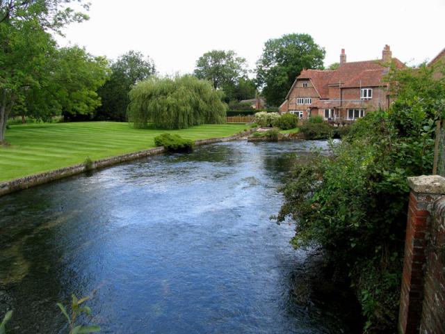
Images are sourced within 2km of 51.439004/-1.3635987 or Grid Reference SU4471. Thanks to Geograph Open Source API. All images are credited.

Village house and old AA road sign, Winterbourne, Berkshire
Church, Winterbourne, Berkshire
Woodland track, Winterbourne, Berkshire
Village houses, Boxford, Berkshire
Hawthorne Cottage, Winterbourne, Berkshire C18. Brick with thatched roof. Later brick and tile lean-to to right with casement.

(Source:Historic England)
Hawthorne Cottage, Winterbourne, Berkshire
C18. Brick with thatched roof. Later brick and tile lean-to to right with casement. (Source:Historic England)
Thatched cottage, Boxford, Berkshire No. 81 (Formerly Listed 9.9.69 As Cornerways Stores)
C17. Timber framed with brick, and some flint, nogging. Thatched roof half-hipped to right. Central stack. One storey and attic. Lobby entrance type. 2 windows to left of door and one to right. Attic dormer to left. All casements.

(Source:Historic England)
Thatched cottage, Boxford, Berkshire
No. 81 (Formerly Listed 9.9.69 As Cornerways Stores) C17. Timber framed with brick, and some flint, nogging. Thatched roof half-hipped to right. Central stack. One storey and attic. Lobby entrance type. 2 windows to left of door and one to right. Attic dormer to left. All casements. (Source:Historic England)
Church of St Andrew, Boxford, Berkshire C13 and C15. West tower of c.1692. North aisle and vestry of 1841. Restored in 1908 by J.O.Scott and Sons. Nave and chancel cement rendered with stone dressings and tiled roofs. Tower and north aisles of banded flint and brick with stone dressings. Brick and tile porch. West tower, nave, north aisle, south porch, Vestry and chancel. Tower has 3 stages. First stage with diagonal buttresses to west. Embattled parapet. 6-light square headed windows on west face of first stage; one-light openings north and south on second stage and 2-light square headed openings on all faces of bell chamber. Sun-dial east of bell chamber opening on south face. South side of nave has one 1-light and two 2-light square headed windows with cinquefoils in heads, and hood moulds. Head on one-light window probably Cl9. Gabled south porch with arched opening. C13 south doorway with probably medieval door. North aisle has 2 square headed 2-light windows as those in nave. 2 to north and one at east end. Chancel has C19 arched south doorway and one 1-light square headed window with probably C19 cinquefoiled head and hood mould. C19 east window with panelled tracery, and hood mould with grotesque stops.

(Source:Historic England)
Church of St Andrew, Boxford, Berkshire
C13 and C15. West tower of c.1692. North aisle and vestry of 1841. Restored in 1908 by J.O.Scott and Sons. Nave and chancel cement rendered with stone dressings and tiled roofs. Tower and north aisles of banded flint and brick with stone dressings. Brick and tile porch. West tower, nave, north aisle, south porch, Vestry and chancel. Tower has 3 stages. First stage with diagonal buttresses to west. Embattled parapet. 6-light square headed windows on west face of first stage; one-light openings north and south on second stage and 2-light square headed openings on all faces of bell chamber. Sun-dial east of bell chamber opening on south face. South side of nave has one 1-light and two 2-light square headed windows with cinquefoils in heads, and hood moulds. Head on one-light window probably Cl9. Gabled south porch with arched opening. C13 south doorway with probably medieval door. North aisle has 2 square headed 2-light windows as those in nave. 2 to north and one at east end. Chancel has C19 arched south doorway and one 1-light square headed window with probably C19 cinquefoiled head and hood mould. C19 east window with panelled tracery, and hood mould with grotesque stops. (Source:Historic England)
St James the Less, Winterbourne: late December 2015
War Memorial in front of St Andrew's Church
St Andrew, Boxford: noticeboard
St Andrew, Boxford: Millennium Plaque
St Andrew, Boxford: Golden Jubilee Plaque
Rush hour in Boxford
St Andrew, Boxford: memorial to a former incumbent Also see <span class="nowrap"><a title="https://en.wikipedia.org/wiki/Cecil_Boden" rel="nofollow ugc noopener" href="https://en.wikipedia.org/wiki/Cecil_Boden">Link</a><img style="margin-left:2px;" alt="External link" title="External link - shift click to open in new window" src="https://s1.geograph.org.uk/img/external.png" width="10" height="10"/></span>
St Andrew, Boxford: memorial to a former incumbent
Also see LinkExternal link
St Andrew, Boxford: memorial to a former parishioner
St Andrew, Boxford: churchyard (i)
St Andrew, Boxford: churchyard (ii)
St Andrew, Boxford: churchyard (iii)
Show me another place!

Leonard's Plantation is located at Grid Ref: SU4471 (Lat: 51.439004, Lng: -1.3635987)

Unitary Authority: West Berkshire

Police Authority: Thames Valley

What 3 Words

///torched.volume.anchovies. Near Winterbourne, Berkshire

Related Wikis

Winterbourne Chalk Pit

Winterbourne Chalk Pit is a 0.05-hectare (0.12-acre) geological Site of Special Scientific Interest west of Winterbourne in Berkshire. It is a Geological...

Boxford, Berkshire

Boxford is a village and civil parish in the unitary authority of West Berkshire, England. The village is on the east bank of the River Lambourn, about...

Winterbourne, Berkshire

Winterbourne is a village and civil parish in the Berkshire Downs about 3 miles (5 km) north of Newbury in West Berkshire. == Geography == Winterbourne...

Honey Bottom

Honey Bottom (also written as Honeybottom) is a hamlet in the civil parish of Shaw-cum-Donnington in the English county of Berkshire. The settlement lies...

Nearby Amenities

Located within 500m of 51.439004,-1.3635987
The data included in this document is from www.openstreetmap.org. The data is made available under ODbL.

Have you been to Leonard's Plantation?

Leave your review of Leonard's Plantation below (or comments, questions and feedback).