Low Crake Bank Plantation

Wood, Forest in Yorkshire Hambleton

England

Low Crake Bank Plantation

Knayton, Swan Lane This roadside house wall is on the south side of Swan Lane in Knayton. On the 2nd or 3rd course of stones there is a Flush Bracket, a brass plaque placed by Ordnance Survey and labelled G3281.
Knayton, Swan Lane Credit: Mel Towler

Low Crake Bank Plantation is a picturesque woodland located in Yorkshire, England. Nestled within the serene countryside, this plantation covers a vast area of land and is renowned for its natural beauty and diverse ecosystem.

The plantation is predominantly comprised of deciduous trees, including oak, beech, and birch, which create a stunning display of vibrant colors during the autumn season. These trees provide a haven for numerous bird species, such as woodpeckers, thrushes, and warblers, making it a popular destination for birdwatchers and nature enthusiasts.

The forest floor is rich in flora, with an abundance of wildflowers, ferns, and mosses that create a lush carpet of greenery. Low Crake Bank Plantation is also home to a variety of wildlife, including deer, foxes, and rabbits, which can often be spotted roaming freely throughout the woodland.

Traversing through the plantation, visitors can find well-maintained footpaths that offer breathtaking views of the surrounding countryside. These paths lead to a tranquil lake, where visitors can enjoy a peaceful picnic or simply bask in the beauty of the surroundings.

Low Crake Bank Plantation is a popular destination for outdoor activities such as hiking, cycling, and nature walks. The plantation is open to the public year-round, allowing visitors to experience the changing seasons and witness the stunning transformation of the landscape.

Overall, Low Crake Bank Plantation in Yorkshire is a haven of natural beauty, providing a serene and tranquil escape for all who visit. Its diverse ecosystem, stunning scenery, and wealth of wildlife make it a must-visit destination for nature lovers and those seeking a peaceful retreat in the heart of the English countryside.

If you have any feedback on the listing, please let us know in the comments section below.

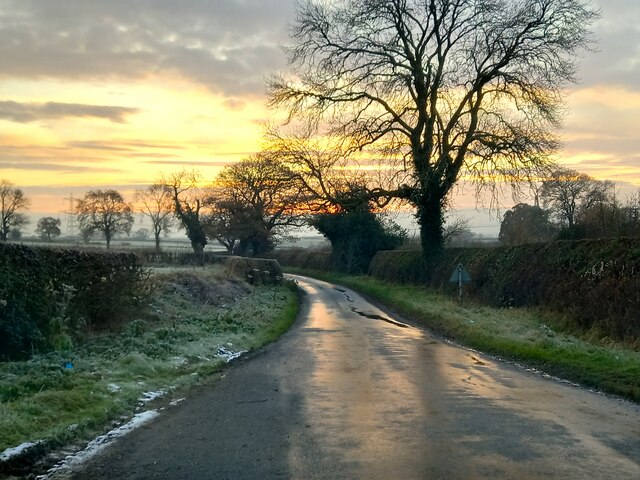
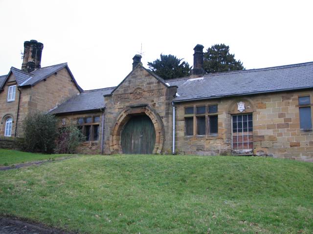
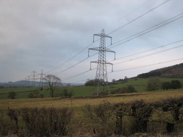
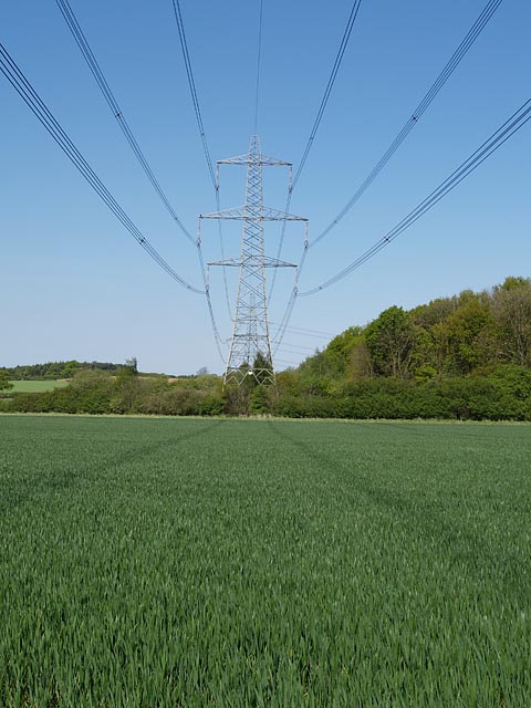
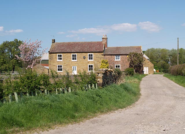
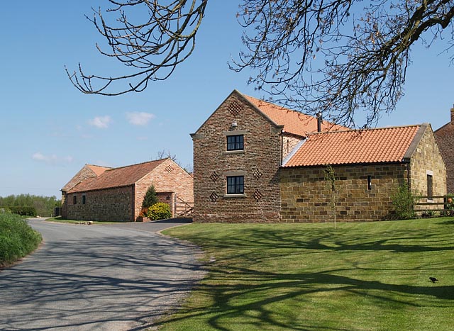
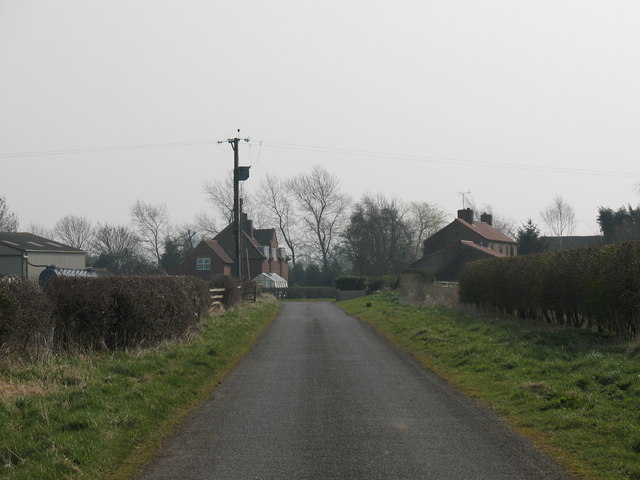
Low Crake Bank Plantation Images

Images are sourced within 2km of 54.270172/-1.3211104 or Grid Reference SE4486. Thanks to Geograph Open Source API. All images are credited.

Knayton, Swan Lane This roadside house wall is on the south side of Swan Lane in Knayton. On the 2nd or 3rd course of stones there is a Flush Bracket, a brass plaque placed by Ordnance Survey and labelled G3281.
Knayton, Swan Lane
This roadside house wall is on the south side of Swan Lane in Knayton. On the 2nd or 3rd course of stones there is a Flush Bracket, a brass plaque placed by Ordnance Survey and labelled G3281.
Knayton, Swan Lane This roadside house is on the south side of Swan Lane in Knayton. On the 2nd or 3rd course of stones on this gable end there is a Flush Bracket, a brass plaque placed by Ordnance Survey and labelled G3281. It's actual location is just visible, and is to the left of the larger pointed conifer.
Knayton, Swan Lane
This roadside house is on the south side of Swan Lane in Knayton. On the 2nd or 3rd course of stones on this gable end there is a Flush Bracket, a brass plaque placed by Ordnance Survey and labelled G3281. It's actual location is just visible, and is to the left of the larger pointed conifer.
December afternoon, Upsall Lane Mid afternoon, but the sun is already sinking into the clouds on the horizon. A cold, dank December day.
December afternoon, Upsall Lane
Mid afternoon, but the sun is already sinking into the clouds on the horizon. A cold, dank December day.
Knayton View looking from the south.
Knayton
View looking from the south.
Winterscape of North Kilvington
Upsall This is something like the derelict village hall - most interesting doorway and sign above it.
Upsall
This is something like the derelict village hall - most interesting doorway and sign above it.
Electricity pylons marching across the square
Pylons from Upsall Lane Too new to be shown on current OS maps, this line of pylons strides southwards from Teesside through the Vale of Mowbray towards York.  Their construction caused much local controversy and anger.
Pylons from Upsall Lane
Too new to be shown on current OS maps, this line of pylons strides southwards from Teesside through the Vale of Mowbray towards York. Their construction caused much local controversy and anger.
Moorhouse Lane, North Kilvington A quiet backwater, close to the busy A19 dual carriageway.
Moorhouse Lane, North Kilvington
A quiet backwater, close to the busy A19 dual carriageway.
Power Lines The wood is Bellmoor Plantation
Power Lines
The wood is Bellmoor Plantation
Quorndon Farm This farm looks to have been recently refurbished
Quorndon Farm
This farm looks to have been recently refurbished
Hundlethorpe Farm Farm near to Quorndon Farm
Hundlethorpe Farm
Farm near to Quorndon Farm
Spital Bridge Bridge over Spital Beck on Upsall Lane
Spital Bridge
Bridge over Spital Beck on Upsall Lane
Low Crake Bank Plantation Looking from the footpath near Kilvington Hall
Low Crake Bank Plantation
Looking from the footpath near Kilvington Hall
Kilvington Hall Looking across the fields from footpath
Kilvington Hall
Looking across the fields from footpath
Farmland north of Kilvington Hall Dungheap enjoying the shade on a hot day.
The line of bushes beyond follows the line of Blackhill Beck.
Farmland north of Kilvington Hall
Dungheap enjoying the shade on a hot day. The line of bushes beyond follows the line of Blackhill Beck.
Blackhill Beck The bushes mark out the course of the beck
Blackhill Beck
The bushes mark out the course of the beck
Animal Shelters Stack of old shelters, most likely used for pigs.
Animal Shelters
Stack of old shelters, most likely used for pigs.
Show me another place!

Low Crake Bank Plantation is located at Grid Ref: SE4486 (Lat: 54.270172, Lng: -1.3211104)

Division: North Riding

Administrative County: North Yorkshire

District: Hambleton

Police Authority: North Yorkshire

What 3 Words

///saving.clots.confusion. Near Thirsk, North Yorkshire

Related Wikis

Upsall

Upsall is a hamlet in and civil parish in the Hambleton district of North Yorkshire, England. It is situated approximately four miles north-east of Thirsk...

Upsall Castle

Upsall Castle is a fourteenth-century ruin, park and manor house in Upsall, in the Hambleton district of North Yorkshire, England. == History == Some records...

Thornbrough

Thornbrough is a civil parish in the Hambleton District of North Yorkshire, England. The population of the civil parish was estimated at 20 in 2014....

North Kilvington

North Kilvington is a hamlet and civil parish in North Yorkshire, England. It is situated just off the A19, about two miles north of Thirsk. In the 2001...

Nearby Amenities

Located within 500m of 54.270172,-1.3211104
Power: tower
Lat/Long: 54.270148/-1.3137436
Basset Hall
Place: isolated_dwelling
Lat/Long: 54.2684629/-1.3174566
Park House Lodge
Place: isolated_dwelling
Lat/Long: 54.2686509/-1.3153109
Kilvington Hall
Place: farm
Lat/Long: 54.2681371/-1.3257608
The data included in this document is from www.openstreetmap.org. The data is made available under ODbL.

Have you been to Low Crake Bank Plantation?

Leave your review of Low Crake Bank Plantation below (or comments, questions and feedback).