Tibet Plantation

Wood, Forest in Yorkshire Hambleton

England

Tibet Plantation

The Swale in flood at Thornton Bridge This appears to be a favourite spot for me to photograph the Swale in flood at Thornton Bridge. Compared with other photos, particularly one from 1st January 2013, the river level is even higher on this occasion than it was almost exactly 10 years previously.
The Swale in flood at Thornton Bridge Credit: Gordon Hatton

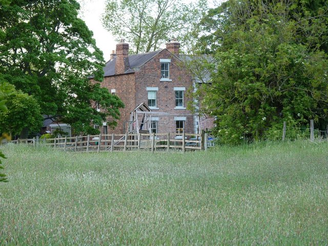
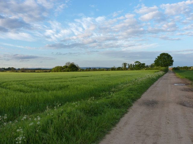
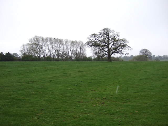
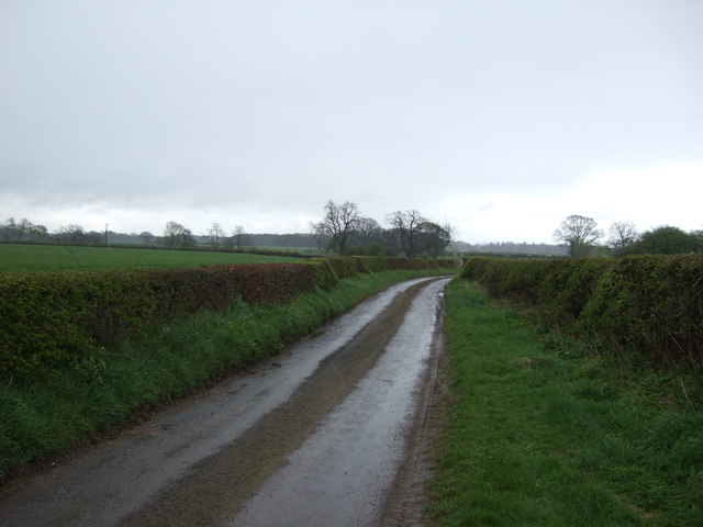
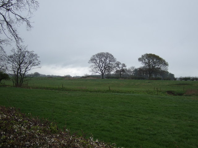
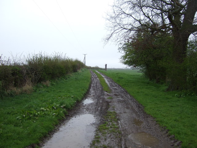
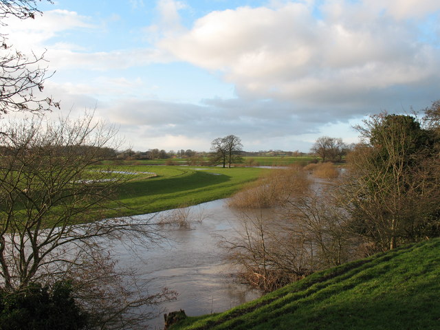
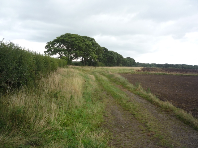
Tibet Plantation is a serene woodland area located in Yorkshire, England. Covering a vast expanse of land, this plantation is known for its dense collection of trees, predominantly oak, beech, and pine. The forest floor is carpeted with a variety of flora, including bluebells, ferns, and mosses, creating a lush and vibrant ecosystem.

Tibet Plantation offers a peaceful retreat for nature enthusiasts, hikers, and wildlife lovers. Visitors can explore the network of walking trails that wind through the forest, providing opportunities to observe a diverse range of plant and animal species in their natural habitat. The tranquil atmosphere of the plantation makes it an ideal spot for birdwatching and photography.

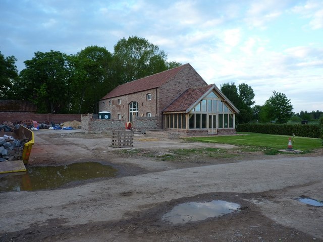
The plantation is also home to a rich history, with evidence of ancient settlements and structures scattered throughout the woodland. This adds an element of mystery and intrigue to the area, enticing visitors to delve into the past and discover the stories hidden within the trees.

Overall, Tibet Plantation is a hidden gem in Yorkshire, offering a sanctuary of natural beauty and tranquility for all who venture into its depths.

If you have any feedback on the listing, please let us know in the comments section below.

Tibet Plantation Images

Images are sourced within 2km of 54.149068/-1.3248992 or Grid Reference SE4472. Thanks to Geograph Open Source API. All images are credited.

The Swale in flood at Thornton Bridge This appears to be a favourite spot for me to photograph the Swale in flood at Thornton Bridge. Compared with other photos, particularly one from 1st January 2013, the river level is even higher on this occasion than it was almost exactly 10 years previously.
The Swale in flood at Thornton Bridge
This appears to be a favourite spot for me to photograph the Swale in flood at Thornton Bridge. Compared with other photos, particularly one from 1st January 2013, the river level is even higher on this occasion than it was almost exactly 10 years previously.
Watery landscape near Thornton Bridge The Swale, which should be at the extreme right of this photo, has spread across nearby fields after another bout of torrential rain here and in the catchment area of Swaledale.
Watery landscape near Thornton Bridge
The Swale, which should be at the extreme right of this photo, has spread across nearby fields after another bout of torrential rain here and in the catchment area of Swaledale.
Road closed due to flooding This is the road from Brafferton towards Cundall and Asenby near Thornton Bridge, where floodwater has backed up across the road. maybe the Victorians had more sense, as the original route followed slightly higher ground in a semi-circle to the left. That option has now been closed and is now on private land.
Road closed due to flooding
This is the road from Brafferton towards Cundall and Asenby near Thornton Bridge, where floodwater has backed up across the road. maybe the Victorians had more sense, as the original route followed slightly higher ground in a semi-circle to the left. That option has now been closed and is now on private land.
A rather wet parking place A van has come to grief in floodwater near to Thornton Bridge. Maybe the driver should have tried an alternative route.
A rather wet parking place
A van has come to grief in floodwater near to Thornton Bridge. Maybe the driver should have tried an alternative route.
The corner of West Moor copse A small wood in the fields southeast of New Mills Farm; the fields are planted with a variety of arable crops. The East Coast main line clips the far side of this grid square, but access to it is not easy to come by from this direction.
The corner of West Moor copse
A small wood in the fields southeast of New Mills Farm; the fields are planted with a variety of arable crops. The East Coast main line clips the far side of this grid square, but access to it is not easy to come by from this direction.
From West Moor copse towards Pilmoor Hall farm
West Moor copse from the track near New Mills farm The fields in the area are mostly planted with wheat and oilseed rape this year.
West Moor copse from the track near New Mills farm
The fields in the area are mostly planted with wheat and oilseed rape this year.
Fields at West Moor
Fields at West Moor
Across West Moor to East Moor copse
Thornton Manor house Glimpsed through the trees just west of the barn conversions.
Thornton Manor house
Glimpsed through the trees just west of the barn conversions.
Barn conversions at Thornton Manor farm Big changes around the farm since <a href="https://www.geograph.org.uk/photo/545746">SE4371 : Derelict farm buildings, Thornton Manor farm.</a> was taken - the barns are no longer derelict, and a lot of work is taking place to convert them to dwellings.
Barn conversions at Thornton Manor farm
Big changes around the farm since SE4371 : Derelict farm buildings, Thornton Manor farm. was taken - the barns are no longer derelict, and a lot of work is taking place to convert them to dwellings.
Thornton Manor farm track Looking back towards Thornton Manor farm from the track to the west. Many of the more modern farm buildings have been demolished (eg the barn in <a href="https://www.geograph.org.uk/photo/545745">SE4271 : Farm buildings and dead crows.</a> has gone), but the older barns are in the process of conversion to houses.
Thornton Manor farm track
Looking back towards Thornton Manor farm from the track to the west. Many of the more modern farm buildings have been demolished (eg the barn in SE4271 : Farm buildings and dead crows. has gone), but the older barns are in the process of conversion to houses.
The Sessay to Brafferton road Minor road between arable fields in the Vale of York.
The Sessay to Brafferton road
Minor road between arable fields in the Vale of York.
Pylons across the plain Part of the national grid linking Teesside with York.
Pylons across the plain
Part of the national grid linking Teesside with York.
Farmland near the River Swale
Lane heading south towards Crakehill
Farmland near Crakehill
Farm track heading east near Crakehill
Show me another place!

Tibet Plantation is located at Grid Ref: SE4472 (Lat: 54.149068, Lng: -1.3248992)

Division: North Riding

Administrative County: North Yorkshire

District: Hambleton

Police Authority: North Yorkshire

What 3 Words

///clan.sharpness.hockey. Near Boroughbridge, North Yorkshire

Related Wikis

Fawdington

Fawdington is a hamlet and civil parish in the Hambleton district of North Yorkshire, England. It is on the River Swale and near the A1(M) motorway, 8...

Eldmire with Crakehill

Eldmire with Crakehill is a civil parish in the Hambleton district of North Yorkshire, England. The population of the parish was estimated at 30 in 2013...

RAF Helperby

RAF Helperby (also known as RAF Brafferton), was a First World War era airfield near to the villages of Brafferton and Helperby in North Yorkshire, England...

Cundall, North Yorkshire

Cundall is a village in the Harrogate district of North Yorkshire, England. It is one of the Thankful Villages that suffered no fatalities during World...

Nearby Amenities

Located within 500m of 54.149068,-1.3248992
Barrier: stile
Step Count: 1
Stile: stepover
Lat/Long: 54.1467647/-1.3314698
Barrier: stile
Step Count: 1
Stile: stepover
Lat/Long: 54.148003/-1.3318526
The data included in this document is from www.openstreetmap.org. The data is made available under ODbL.

Have you been to Tibet Plantation?

Leave your review of Tibet Plantation below (or comments, questions and feedback).