Bagnor Wood

Wood, Forest in Berkshire

England

Bagnor Wood

Church, Winterbourne, Berkshire
Church, Winterbourne, Berkshire Credit: Oswald Bertram

Bagnor Wood is a picturesque woodland located in Berkshire, England. Covering an area of approximately 30 acres, this ancient forest is a popular destination for nature lovers and outdoor enthusiasts. The woodland is home to a diverse range of flora and fauna, including oak, beech, and birch trees, as well as a variety of wildlife such as deer, foxes, and birds.

Visitors to Bagnor Wood can enjoy leisurely walks along the well-maintained paths that wind through the trees, providing opportunities to observe the natural beauty of the forest up close. The peaceful atmosphere of the woodland offers a tranquil escape from the hustle and bustle of everyday life, making it an ideal spot for relaxation and contemplation.

Bagnor Wood is also a haven for birdwatchers, with a number of bird species inhabiting the area. The forest provides a habitat for various birds, including woodpeckers, thrushes, and owls, making it a popular spot for birdwatching enthusiasts.

Overall, Bagnor Wood is a beautiful and serene woodland that offers a peaceful retreat for visitors seeking to connect with nature and enjoy the tranquility of the great outdoors.

If you have any feedback on the listing, please let us know in the comments section below.
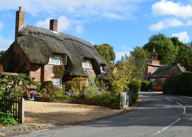
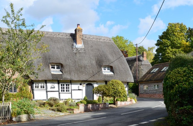
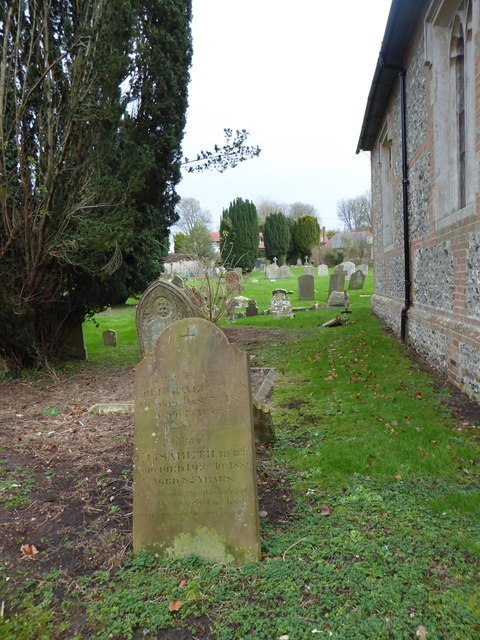
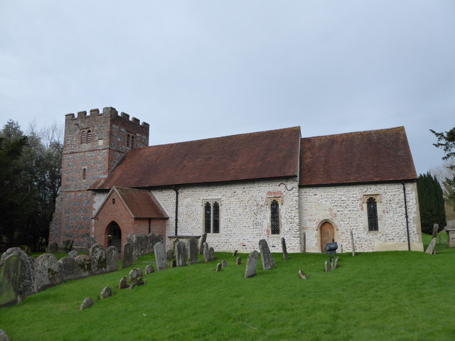
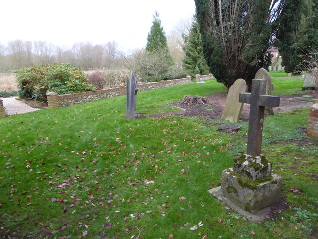
Bagnor Wood Images

Images are sourced within 2km of 51.429537/-1.3671392 or Grid Reference SU4470. Thanks to Geograph Open Source API. All images are credited.

Church, Winterbourne, Berkshire
Woodland track, Winterbourne, Berkshire
Village houses, Boxford, Berkshire
Thatched cottage, Boxford, Berkshire No. 81 (Formerly Listed 9.9.69 As Cornerways Stores)
C17. Timber framed with brick, and some flint, nogging. Thatched roof half-hipped to right. Central stack. One storey and attic. Lobby entrance type. 2 windows to left of door and one to right. Attic dormer to left. All casements.

(Source:Historic England)
Thatched cottage, Boxford, Berkshire
No. 81 (Formerly Listed 9.9.69 As Cornerways Stores) C17. Timber framed with brick, and some flint, nogging. Thatched roof half-hipped to right. Central stack. One storey and attic. Lobby entrance type. 2 windows to left of door and one to right. Attic dormer to left. All casements. (Source:Historic England)
Church of St Andrew, Boxford, Berkshire C13 and C15. West tower of c.1692. North aisle and vestry of 1841. Restored in 1908 by J.O.Scott and Sons. Nave and chancel cement rendered with stone dressings and tiled roofs. Tower and north aisles of banded flint and brick with stone dressings. Brick and tile porch. West tower, nave, north aisle, south porch, Vestry and chancel. Tower has 3 stages. First stage with diagonal buttresses to west. Embattled parapet. 6-light square headed windows on west face of first stage; one-light openings north and south on second stage and 2-light square headed openings on all faces of bell chamber. Sun-dial east of bell chamber opening on south face. South side of nave has one 1-light and two 2-light square headed windows with cinquefoils in heads, and hood moulds. Head on one-light window probably Cl9. Gabled south porch with arched opening. C13 south doorway with probably medieval door. North aisle has 2 square headed 2-light windows as those in nave. 2 to north and one at east end. Chancel has C19 arched south doorway and one 1-light square headed window with probably C19 cinquefoiled head and hood mould. C19 east window with panelled tracery, and hood mould with grotesque stops.

(Source:Historic England)
Church of St Andrew, Boxford, Berkshire
C13 and C15. West tower of c.1692. North aisle and vestry of 1841. Restored in 1908 by J.O.Scott and Sons. Nave and chancel cement rendered with stone dressings and tiled roofs. Tower and north aisles of banded flint and brick with stone dressings. Brick and tile porch. West tower, nave, north aisle, south porch, Vestry and chancel. Tower has 3 stages. First stage with diagonal buttresses to west. Embattled parapet. 6-light square headed windows on west face of first stage; one-light openings north and south on second stage and 2-light square headed openings on all faces of bell chamber. Sun-dial east of bell chamber opening on south face. South side of nave has one 1-light and two 2-light square headed windows with cinquefoils in heads, and hood moulds. Head on one-light window probably Cl9. Gabled south porch with arched opening. C13 south doorway with probably medieval door. North aisle has 2 square headed 2-light windows as those in nave. 2 to north and one at east end. Chancel has C19 arched south doorway and one 1-light square headed window with probably C19 cinquefoiled head and hood mould. C19 east window with panelled tracery, and hood mould with grotesque stops. (Source:Historic England)
St James the Less, Winterbourne: late December 2015
War Memorial in front of St Andrew's Church
St Andrew, Boxford: noticeboard
St Andrew, Boxford: Millennium Plaque
St Andrew, Boxford: Golden Jubilee Plaque
Rush hour in Boxford
St Andrew, Boxford: memorial to a former incumbent Also see <span class="nowrap"><a title="https://en.wikipedia.org/wiki/Cecil_Boden" rel="nofollow ugc noopener" href="https://en.wikipedia.org/wiki/Cecil_Boden">Link</a><img style="margin-left:2px;" alt="External link" title="External link - shift click to open in new window" src="https://s1.geograph.org.uk/img/external.png" width="10" height="10"/></span>
St Andrew, Boxford: memorial to a former incumbent
Also see LinkExternal link
St Andrew, Boxford: memorial to a former parishioner
St Andrew, Boxford: churchyard (i)
St Andrew, Boxford: churchyard (ii)
St Andrew, Boxford: churchyard (iii)
St Andrew, Boxford: a first for me Never seen one of these before<span class="nowrap"><a title="https://en.wikipedia.org/wiki/Defibrillation" rel="nofollow ugc noopener" href="https://en.wikipedia.org/wiki/Defibrillation">Link</a><img style="margin-left:2px;" alt="External link" title="External link - shift click to open in new window" src="https://s1.geograph.org.uk/img/external.png" width="10" height="10"/></span>
St Andrew, Boxford: a first for me
Never seen one of these beforeLinkExternal link
St Andrew, Boxford: churchyard (iv)
Show me another place!

Bagnor Wood is located at Grid Ref: SU4470 (Lat: 51.429537, Lng: -1.3671392)

Unitary Authority: West Berkshire

Police Authority: Thames Valley

What 3 Words

///zapped.premises.slept. Near Winterbourne, Berkshire

Related Wikis

Hunts Green, Berkshire

Hunts Green is a hamlet in Berkshire, England, and part of the civil parish of Boxford. The settlement lies west of the A34 road (Newbury Bypass) and approximately...

Hungerford Newtown

Hungerford Newtown is a hamlet in the civil parish of Hungerford, Berkshire, England. It is south of the M4 motorway, near junction 14, on the A338, and...

Woodspeen

Woodspeen is a village in Berkshire, England, and part of the civil parish of Speen. The settlement lies near to the A34 road (Newbury Bypass), and is...

Stockcross and Bagnor Halt railway station

Stockcross and Bagnor Halt railway station was a railway station near Newbury, Berkshire, UK, on the Lambourn Valley Railway. It served the villages of...

Nearby Amenities

Located within 500m of 51.429537,-1.3671392
Barrier: stile
Lat/Long: 51.4286183/-1.3667361
Power: pole
Lat/Long: 51.4323689/-1.3629498
Power: pole
Lat/Long: 51.4314692/-1.3657647
Power: pole
Lat/Long: 51.4305027/-1.3686562
Power: pole
Lat/Long: 51.4301364/-1.36978
Power: pole
Lat/Long: 51.4296063/-1.37081
Power: pole
Lat/Long: 51.428521/-1.372827
Bench
Lat/Long: 51.4282668/-1.372658
The data included in this document is from www.openstreetmap.org. The data is made available under ODbL.

Have you been to Bagnor Wood?

Leave your review of Bagnor Wood below (or comments, questions and feedback).