Down Field
Settlement in Cambridgeshire East Cambridgeshire
England
Down Field
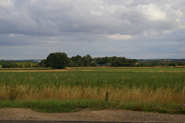
Down Field is a small village located in the county of Cambridgeshire, England. Situated approximately six miles southwest of the city of Cambridge, Down Field is known for its picturesque countryside setting and tranquil atmosphere.
The village is characterized by its charming thatched cottages and historic architecture, giving it a quintessentially English feel. Surrounded by lush green fields and rolling hills, it offers breathtaking views and ample opportunities for outdoor activities such as walking, cycling, and horseback riding.
Down Field boasts a close-knit community, with a population of around 500 residents. The village is served by a primary school, providing education to local children, and a quaint village hall that acts as a hub for social gatherings and community events.
Despite its rural location, Down Field benefits from its proximity to Cambridge, a renowned academic and technological hub. This allows residents to easily access a range of amenities, including shopping centers, healthcare facilities, and cultural attractions.
Transport links to Down Field are well-established, with regular bus services connecting the village to nearby towns and villages, as well as to Cambridge city center. For those commuting further afield, the village also offers convenient access to major road networks, such as the A428 and A1303.
In summary, Down Field is a picturesque and peaceful village in Cambridgeshire, offering a charming rural lifestyle while providing easy access to the amenities and opportunities of nearby Cambridge.
If you have any feedback on the listing, please let us know in the comments section below.
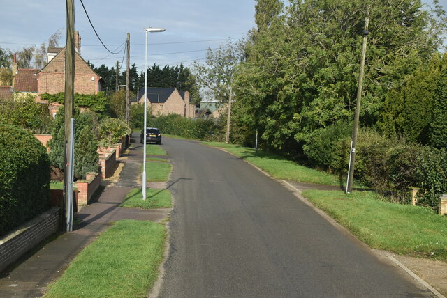
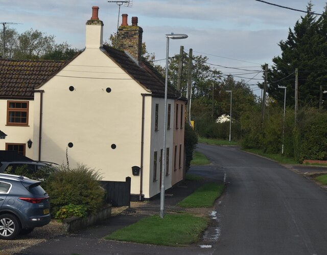
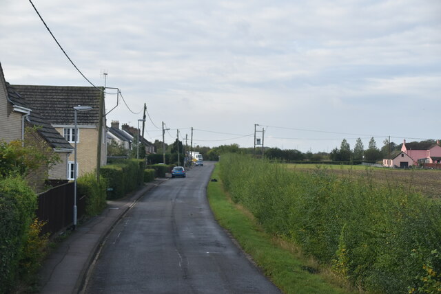
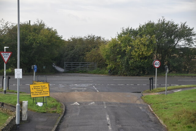
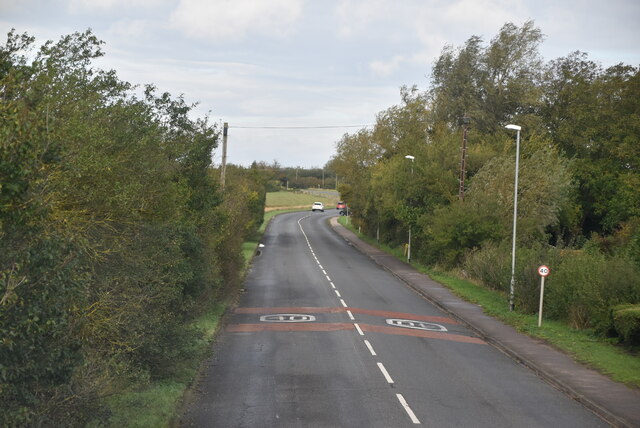
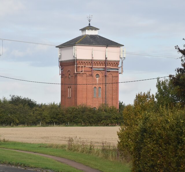
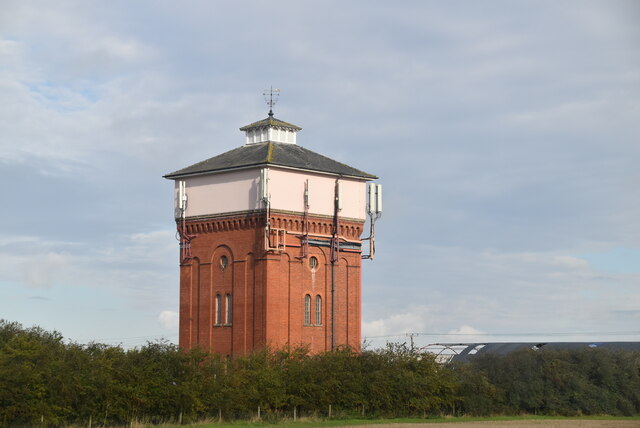
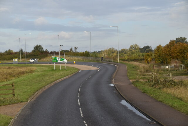
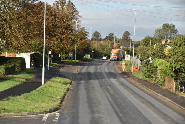
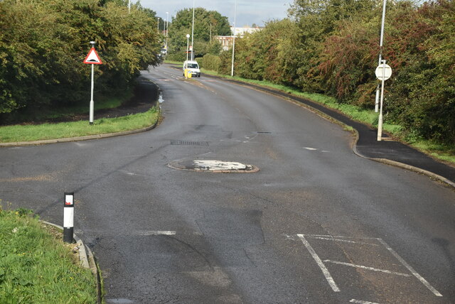
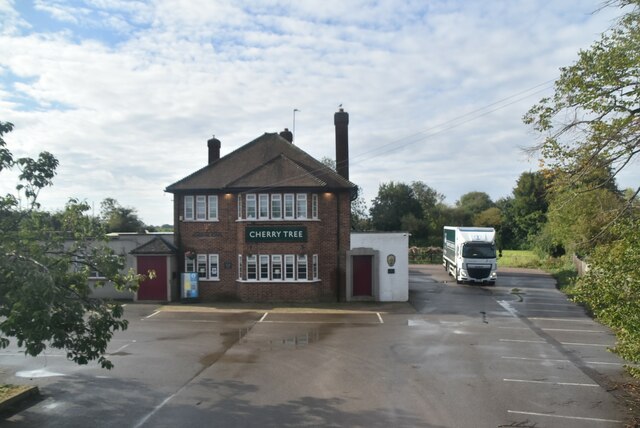
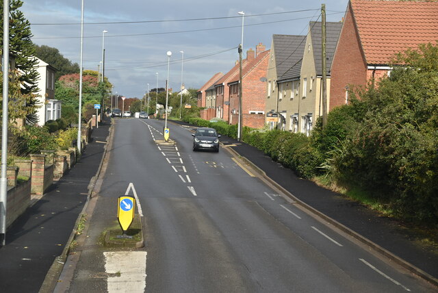
Down Field Images
Images are sourced within 2km of 52.318102/0.353365 or Grid Reference TL6071. Thanks to Geograph Open Source API. All images are credited.

Down Field is located at Grid Ref: TL6071 (Lat: 52.318102, Lng: 0.353365)
Administrative County: Cambridgeshire
District: East Cambridgeshire
Police Authority: Cambridgeshire
What 3 Words
///spurned.sector.reassured. Near Soham, Cambridgeshire
Nearby Locations
Related Wikis

Burwell Tramway
Burwell Tramway was a 2.5 miles (4.0 km) standard gauge industrial tramway which ran from the Ely-Newmarket line, just south of the Soham-Wicken A1123...

Soham Wet Horse Fen
Soham Wet Horse Fen is a 33.8-hectare (84-acre) biological Site of Special Scientific Interest east of Soham in Cambridgeshire. A 3.6-hectare (8.9-acre...

Soham Village College
Soham Village College is a secondary school with academy status located in Soham, Cambridgeshire, England. It has around 1,400 pupils, aged 11 to 16. Although...

Fordham, Cambridgeshire
Fordham is a village in rural Cambridgeshire, England. Fordham is part of the East Cambridgeshire district. It is four miles north of Newmarket, as well...
Soham Abbey
Soham Abbey was an Anglo-Saxon monastery in Soham, which at the time was in the Kingdom of East Anglia. Constructed by St Felix of Burgundy during the...

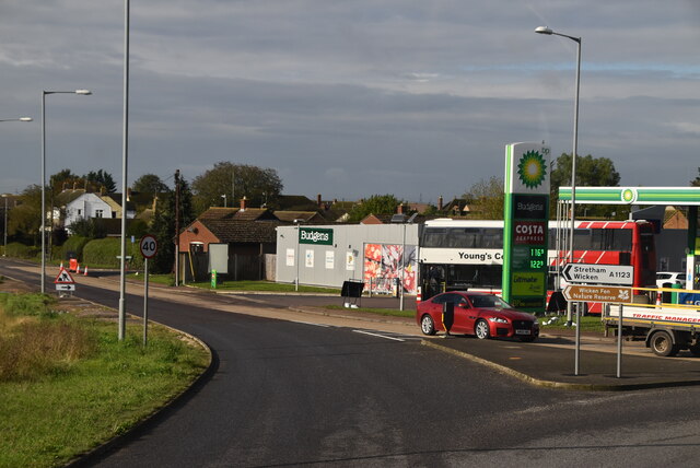
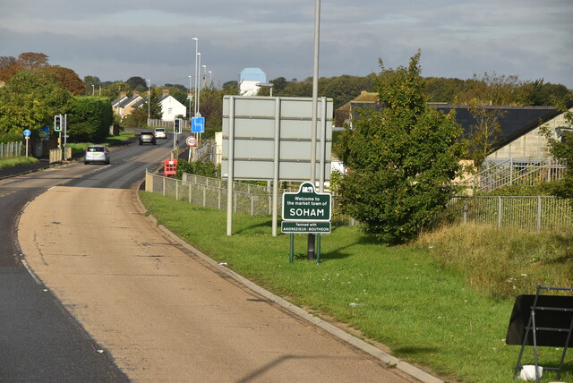
Soham
Soham ( SOH-əm) is a town and civil parish in the district of East Cambridgeshire, in Cambridgeshire, England, just off the A142 between Ely and Newmarket...

Fordham railway station
Fordham railway station is a disused railway station that served the village of Fordham, Cambridgeshire. Opened in 1879, the station formed the junction...
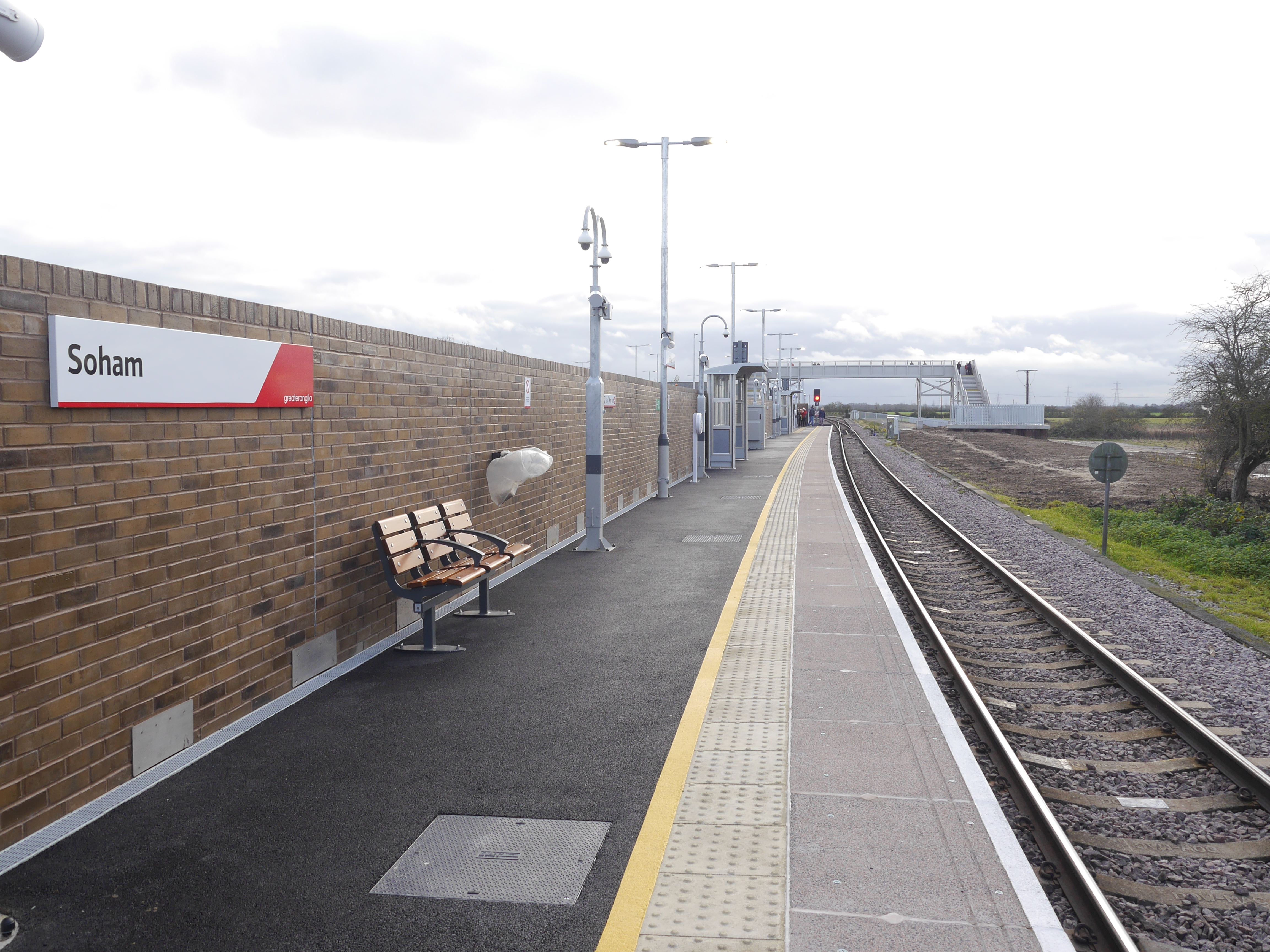
Soham railway station
Soham railway station is a station on the Ipswich–Ely line, serving the town of Soham in Cambridgeshire. The original station operated between 1879 and...
Nearby Amenities
Located within 500m of 52.318102,0.353365Have you been to Down Field?
Leave your review of Down Field below (or comments, questions and feedback).