Cademan Wood
Wood, Forest in Leicestershire North West Leicestershire
England
Cademan Wood
Cademan Wood is a picturesque woodland located in Leicestershire, England. Covering an area of approximately 80 acres, it is a popular destination for nature lovers and outdoor enthusiasts. The wood is part of the larger National Forest and is situated near the town of Coalville.
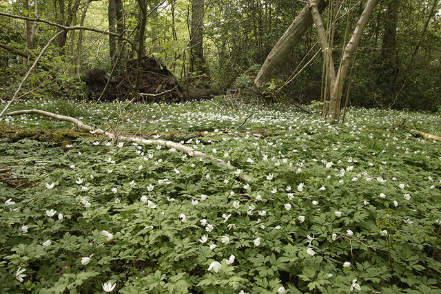
Cademan Wood is characterized by its diverse range of flora and fauna. The woodland is primarily composed of deciduous trees such as oak, birch, and ash, which provide a stunning display of colors during the autumn months. The forest floor is covered in a blanket of bluebells in the spring, creating a beautiful and serene atmosphere.
The wood is home to a variety of wildlife, including birds, mammals, and insects. Visitors may spot species such as woodpeckers, deer, foxes, and butterflies as they explore the trails and pathways that wind through the forest.
The woodland offers a tranquil escape from the hustle and bustle of everyday life, providing visitors with the opportunity to reconnect with nature. There are several walking routes available, ranging from short leisurely strolls to longer hikes, allowing visitors to explore the wood at their own pace.
Cademan Wood is also steeped in history. It is believed to have been an important site during the Iron Age, with archaeological evidence suggesting human activity in the area dating back thousands of years.
Overall, Cademan Wood is a stunning natural gem in Leicestershire, offering visitors a chance to immerse themselves in the beauty and tranquility of a quintessential English woodland.
If you have any feedback on the listing, please let us know in the comments section below.
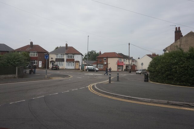
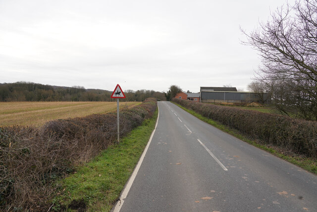
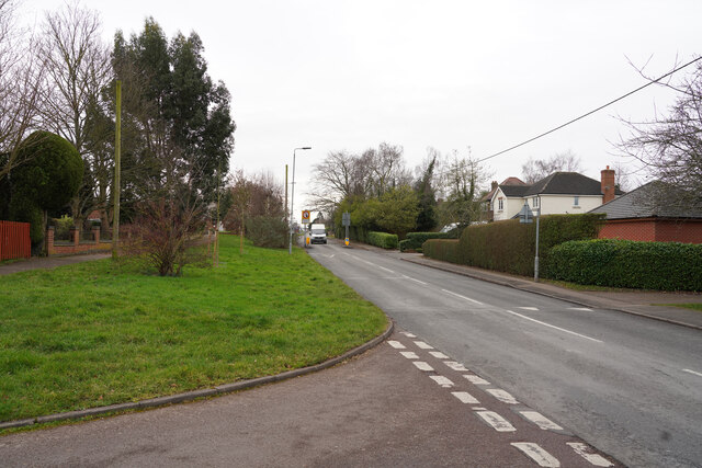
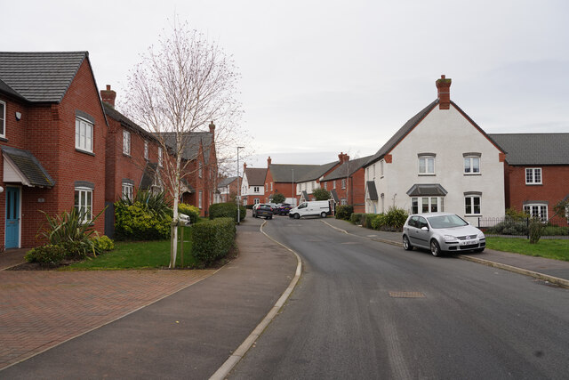
Cademan Wood Images
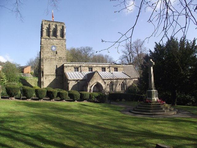
Images are sourced within 2km of 52.749306/-1.3519581 or Grid Reference SK4317. Thanks to Geograph Open Source API. All images are credited.


Cademan Wood is located at Grid Ref: SK4317 (Lat: 52.749306, Lng: -1.3519581)
Administrative County: Leicestershire
District: North West Leicestershire
Police Authority: Leicestershire
What 3 Words
///softly.hips.shape. Near Coalville, Leicestershire
Nearby Locations
Related Wikis
Grace Dieu and High Sharpley
Grace Dieu and High Sharpley is an 86 hectare biological and geological Site of Special Scientific Interest between Coalville and Shepshed in Leicestershire...

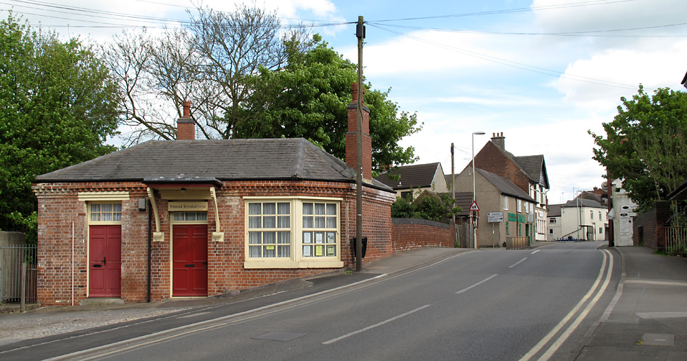
Thringstone Halt railway station
Thringstone Halt railway station was a station on the Charnwood Forest Railway. Near the village of Thringstone, Leicestershire at 52.7503354N 1.3638816E...
Grace Dieu Manor
Grace Dieu Manor is a 19th-century country house near Thringstone in Leicestershire, England, occupied by Grace Dieu Manor School until 2020. It is a...
Grace Dieu Manor School
Grace Dieu Manor School was a private Catholic preparatory school at Grace-Dieu, near Thringstone in Leicestershire, England. It was founded in May 1933...
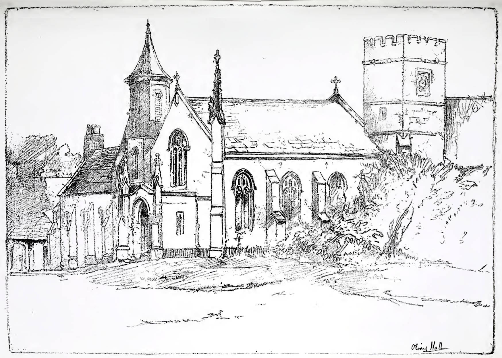
Whitwick railway station
Whitwick railway station served the village of Whitwick, Leicestershire, England. It was built by the Charnwood Forest Company, serving the Charnwood Forest...
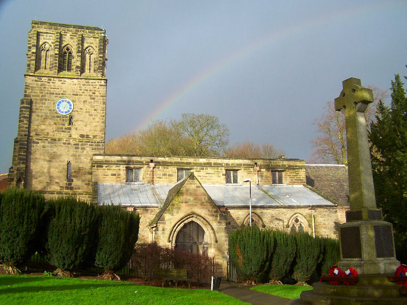
Whitwick
Whitwick is a village and civil parish in the North West Leicestershire district of Leicestershire, England, close to the town of Coalville in the northwest...
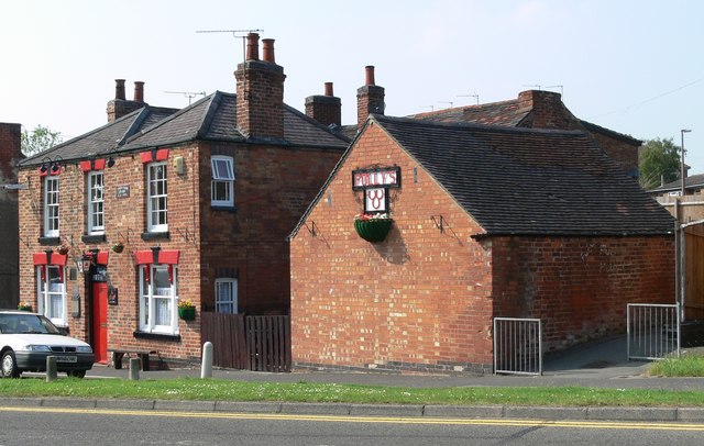
Three Horseshoes, Whitwick
The Three Horseshoes is a Grade II listed public house at 11 Leicester Road, Whitwick, Leicestershire LE67 5GN.It is on the Campaign for Real Ale's National...
Grace-Dieu
Grace-Dieu () is a placename situated in Leicestershire, England. Its toponymy, meaning "Grace (of) God" in French, is from nearby Grace Dieu Priory, which...
Nearby Amenities
Located within 500m of 52.749306,-1.3519581Have you been to Cademan Wood?
Leave your review of Cademan Wood below (or comments, questions and feedback).