Harefurlong Spinney
Wood, Forest in Oxfordshire Cherwell
England
Harefurlong Spinney
Harefurlong Spinney is a picturesque woodland located in Oxfordshire, England. Spread across an area of approximately 50 acres, this enchanting forest is a popular destination for nature enthusiasts and hikers alike. The spinney is situated in close proximity to the village of Harefurlong, which lends the woodland its name.
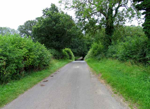
The woodland is predominantly composed of native broadleaf trees such as oak, beech, and ash, which form a dense canopy overhead. This creates a cool and shaded environment, perfect for escaping the summer heat or enjoying a leisurely stroll during any season. The forest floor is carpeted with a rich assortment of wildflowers and ferns, adding to the area's natural beauty.
Harefurlong Spinney is not only known for its stunning flora, but also for its diverse wildlife. The forest provides a habitat for a wide range of creatures, including various species of birds, mammals, and insects. Visitors may have the opportunity to spot foxes, badgers, rabbits, and an array of bird species, such as woodpeckers and owls.
The woodland is crisscrossed by a network of well-maintained footpaths, allowing visitors to explore its beauty at their own pace. These paths lead to scenic viewpoints, tranquil ponds, and secluded picnic areas, making Harefurlong Spinney an ideal spot for a family outing or a peaceful retreat.
Overall, Harefurlong Spinney offers a serene and immersive experience in nature, providing a welcome respite from the hustle and bustle of everyday life. Its stunning landscapes, diverse wildlife, and well-maintained trails make it a destination worth visiting for anyone seeking a connection with the natural world.
If you have any feedback on the listing, please let us know in the comments section below.
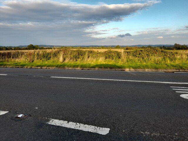
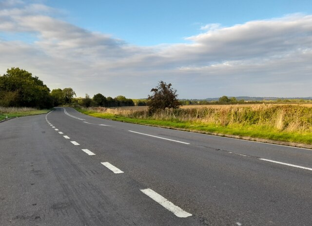
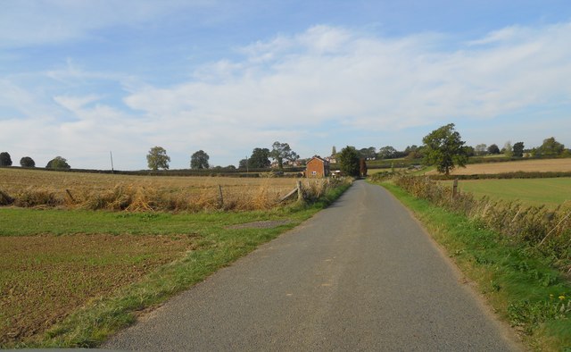
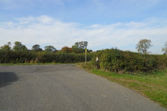
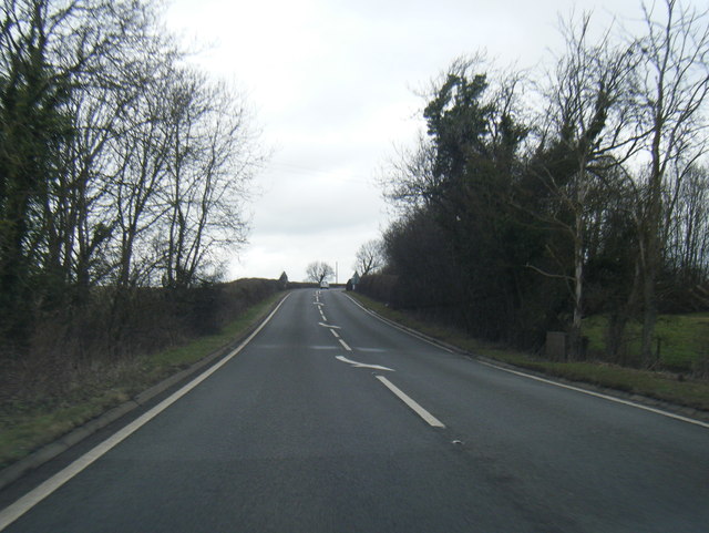
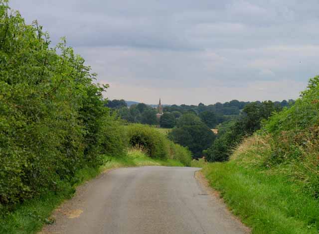
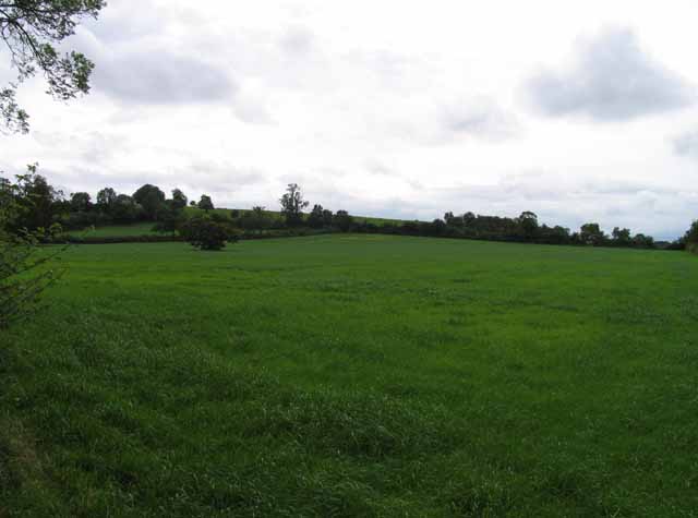
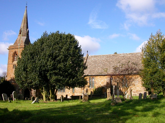
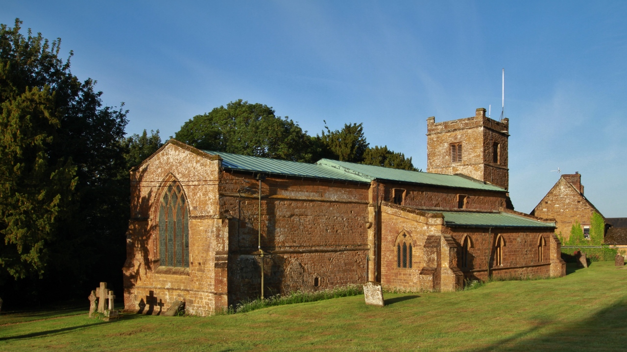
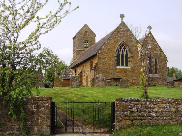
Harefurlong Spinney Images
Images are sourced within 2km of 52.136025/-1.3636528 or Grid Reference SP4348. Thanks to Geograph Open Source API. All images are credited.


Harefurlong Spinney is located at Grid Ref: SP4348 (Lat: 52.136025, Lng: -1.3636528)
Administrative County: Oxfordshire
District: Cherwell
Police Authority: Thames Valley
What 3 Words
///fillers.developed.trickled. Near Farnborough, Warwickshire
Nearby Locations
Related Wikis

Farnborough Hall
Farnborough Hall is a country house in Warwickshire, England near to the town of Banbury, (grid reference SP4349). Owned by the National Trust, but administered...
Farnborough, Warwickshire
Farnborough is a village and civil parish in the Stratford-on-Avon district of Warwickshire, England. It is located on the border with Oxfordshire, around...
Mollington, Oxfordshire
Mollington is a village and civil parish about 4 miles (6.4 km) north of Banbury in Oxfordshire, England. The 2011 Census recorded the parish's population...

Clattercote Priory
Clattercote Priory was a Gilbertine priory in Oxfordshire, England. It was founded for Gilbertine canons to run a hospital in the mid-twelfth century,...
Clattercote
Clattercote or Clattercot is a hamlet in Claydon with Clattercot civil parish, just over 5.5 miles (8.9 km) north of Banbury in Oxfordshire, England....
Claydon, Oxfordshire
Claydon is a village and former civil parish, now in Claydon with Clattercot, in the Cherwell district, in Oxfordshire, England. The village is about 6...
Farnborough Rural District
Farnborough was a rural district in Warwickshire, England from 1894 to 1932. It was formed from that part of the Banbury rural sanitary district which...
Claydon with Clattercot
Claydon with Clattercot is a civil parish in the Cherwell district, in the county of Oxfordshire, England. It was formed in 1932 by merger of the parish...
Related Videos

The Cotswolds - English Village Walk 4k
Today's English Village Walk in 4K takes us to a beautiful little village called Warmington in the Cotswolds. Even though it was a ...

Firtree Farm Camping Banbury
Drone footage of Firtree Farm Banbury.

Tranquil Waters - Narrowboat
Dave & Sally Abel sharing their travel adventures. These will include but not restricted to:- (a) Travel Vlogs, Once lockdown is ...

Vango Anantara IV Air 650 XL. Real World Review.
Is this really the ultimate family tent from Vango? Watch me as I pitch at a campsite and provide an honest review whilst we enjoy ...
Nearby Amenities
Located within 500m of 52.136025,-1.3636528Have you been to Harefurlong Spinney?
Leave your review of Harefurlong Spinney below (or comments, questions and feedback).