Great Road Copse

Wood, Forest in Hampshire Winchester

England

Great Road Copse

Dean Lane Towards Dean and Sparsholt.
Dean Lane Credit: Robin Webster

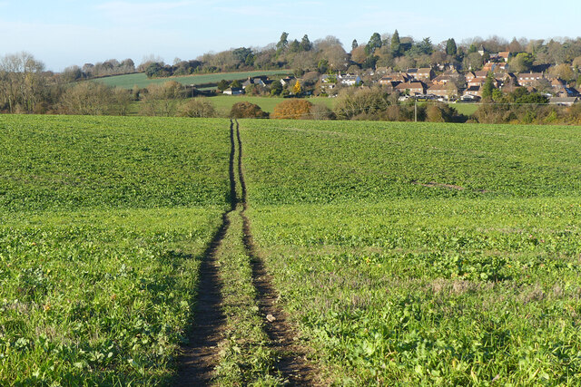
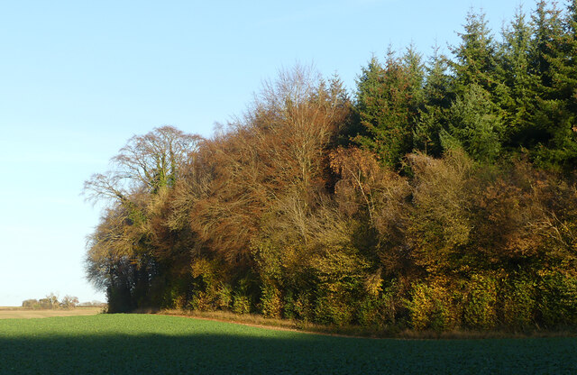
Great Road Copse is a picturesque woodland located in Hampshire, England. Covering an area of approximately 50 acres, it is situated on the outskirts of a small village, surrounded by rolling countryside and farmland.

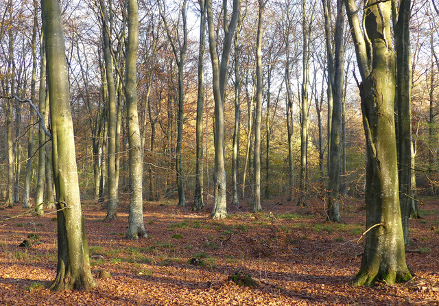
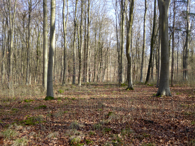
The copse is primarily composed of native broadleaf trees, such as oak, ash, and beech. These trees create a dense canopy, providing shade and shelter for a variety of flora and fauna. The forest floor is carpeted with a rich array of wildflowers, including bluebells and wood anemones, which bloom in the spring, creating a stunning display of colors.

The woodland is crisscrossed by a network of footpaths, allowing visitors to explore its natural beauty and enjoy peaceful walks amidst the tranquility of nature. There is also a small stream that meanders through the copse, adding to its charm and providing a habitat for small aquatic creatures.

Great Road Copse is a haven for wildlife, with numerous species making it their home. Bird enthusiasts may spot woodpeckers, owls, and various songbirds, while mammals such as deer, rabbits, and foxes can often be seen foraging among the trees.

The copse is managed by a local conservation group, which ensures that the woodland is protected and maintained for future generations to enjoy. Regular tree planting and maintenance programs are carried out to preserve the diversity of plant and animal species within the woodland.

Overall, Great Road Copse offers a peaceful retreat for nature lovers, providing an opportunity to reconnect with the natural world and enjoy the tranquility of a beautiful Hampshire woodland.

If you have any feedback on the listing, please let us know in the comments section below.

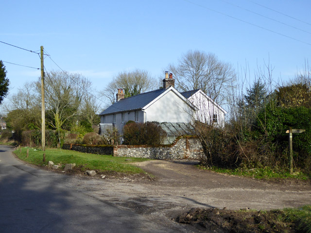
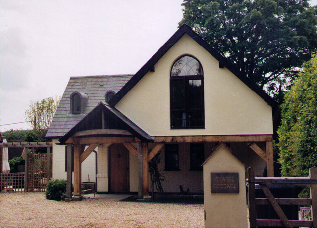
Great Road Copse Images

Images are sourced within 2km of 51.063523/-1.3797184 or Grid Reference SU4329. Thanks to Geograph Open Source API. All images are credited.

Dean Lane Towards Dean and Sparsholt.
Dean Lane
Towards Dean and Sparsholt.
Pasture, Sparsholt Sheep grazing to the east of the village.
Pasture, Sparsholt
Sheep grazing to the east of the village.
Farmland, Sparsholt The village is seen from a footpath on Stockers Down.
Farmland, Sparsholt
The village is seen from a footpath on Stockers Down.
Woodland, Sparsholt Beeches in West Wood, part of the Farley Mount Country Park.
Woodland, Sparsholt
Beeches in West Wood, part of the Farley Mount Country Park.
Woodland edge, Sparsholt The edge of West Wood is seen from the byway descending to No Man's Land.
Woodland edge, Sparsholt
The edge of West Wood is seen from the byway descending to No Man's Land.
Path in West Wood Forestry Commission woodland, and also part of Farley Mount Country Park.
Path in West Wood
Forestry Commission woodland, and also part of Farley Mount Country Park.
In West Wood A beech plantation in the part mapped as Shedden Oak Copse. Forestry Commission woodland, and also part of Farley Mount Country Park.
In West Wood
A beech plantation in the part mapped as Shedden Oak Copse. Forestry Commission woodland, and also part of Farley Mount Country Park.
House at Ham Green
House at Ham Green
Cottages at Moorcourt Farm There is also a big house here.
Cottages at Moorcourt Farm
There is also a big house here.
Sparsholt church St. Stephen's is a grade II*(star) listed building, the oldest parts 12th century.
Sparsholt church
St. Stephen's is a grade II*(star) listed building, the oldest parts 12th century.
Sparsholt - Font Font inside St Stephen's, Sparsholt Parish Church.
Sparsholt - Font
Font inside St Stephen's, Sparsholt Parish Church.
Sparsholt - Painting the Town Red Red is the colour - Sparsholt Well House Store, Post Office and telephone call box.
<span class="nowrap"><a title="www.sparsholtparish.org" rel="nofollow ugc noopener" href="http://www.sparsholtparish.org">Link</a><img style="margin-left:2px;" alt="External link" title="External link - shift click to open in new window" src="https://s1.geograph.org.uk/img/external.png" width="10" height="10"/></span>
Sparsholt - Painting the Town Red
Red is the colour - Sparsholt Well House Store, Post Office and telephone call box. LinkExternal link
Sparsholt - Parish Church St Stephen's Church has some 12th century elements.
<span class="nowrap"><a title="www.sparsholtparish.org" rel="nofollow ugc noopener" href="http://www.sparsholtparish.org">Link</a><img style="margin-left:2px;" alt="External link" title="External link - shift click to open in new window" src="https://s1.geograph.org.uk/img/external.png" width="10" height="10"/></span>
Sparsholt - Parish Church
St Stephen's Church has some 12th century elements. LinkExternal link
Sparsholt former Methodist Chapel Erected in 1893 and used by the Methodists until 1956.  Now converted into a private residence.
Sparsholt former Methodist Chapel
Erected in 1893 and used by the Methodists until 1956. Now converted into a private residence.
St. Stephen's Sparsholt: floor memorial
St. Stephen's Sparsholt: notice board
St. Stephen's Sparsholt: churchyard (a)
St. Stephen's Sparsholt: churchyard (b)
Show me another place!

Great Road Copse is located at Grid Ref: SU4329 (Lat: 51.063523, Lng: -1.3797184)

Administrative County: Hampshire

District: Winchester

Police Authority: Hampshire

What 3 Words

///treatable.swatted.mountain. Near Winchester, Hampshire

Nearby Locations

Crab Wood Great Road Copse

Related Wikis

Crab Wood

Crab Wood is a 73-hectare (180-acre) biological Site of Special Scientific Interest west of Winchester in Hampshire. An area of 37.8 hectares (93 acres...

Sparsholt, Hampshire

Sparsholt (/ˈspɑːʃəʊlt/) is a village and civil parish in Hampshire, England, 2+1⁄2 miles (4 km) west of Winchester. In 1908 its area was 3,672 acres...

Sparsholt Roman Villa

Sparsholt Roman Villa was a Roman villa near the village of Sparsholt, Hampshire, England. It was constructed in phases from the 2nd to the 5th century...

Lainston House

Lainston House is a 17th-century country house hotel near Sparsholt, Hampshire in the south of England. It is operated by the Exclusive Hotels chain. It...

Kings' School, Winchester

Kings' School is a comprehensive school in Winchester, Hampshire, with approximately 1,650 pupils. The most recent Ofsted inspection (June 2014) brought...

RAF Flowerdown

Royal Air Force Flowerdown, or more simply RAF Flowerdown, is a former Royal Air Force station located in Hampshire, England. The Royal Flying Corps (RFC...
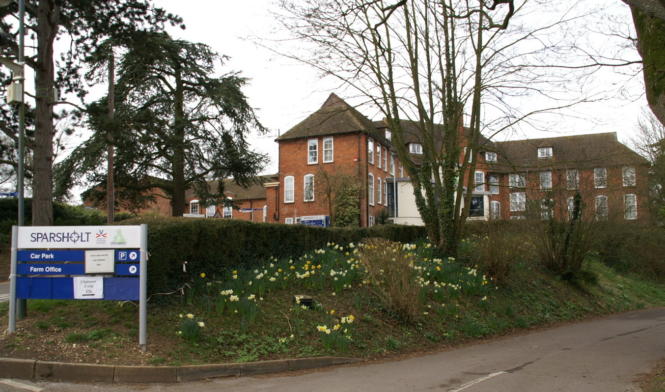
Sparsholt College

Sparsholt College is a Further Education (FE) and Higher Education (HE) college located at Sparsholt near Winchester, with a secondary campus in Andover...

Blue Apple Theatre

Blue Apple Theatre is a theatre company based in Winchester, England. It was founded in 2005 by Jane Jessop to support the inclusion of actors with intellectual...

Nearby Amenities

Located within 500m of 51.063523,-1.3797184
Post Box
Post Box Type: lamp
Ref: SO21 244D
Royal Cypher: EIIR
Royal Cypher Wikidata: Q33102113
Lat/Long: 51.0604108/-1.3760072
Barrier: cycle_barrier
Foot: yes
Lat/Long: 51.0615505/-1.384805
Barrier: cycle_barrier
Lat/Long: 51.0640531/-1.3804067
Barrier: cycle_barrier
Foot: yes
Lat/Long: 51.0640705/-1.3802633
Beechcroft Farm Shop
Addr Postcode: SO22 5QS
Addr Street: Sarum Road
Shop: convenience
Website: https://www.beechcroftdirect.co.uk/
Lat/Long: 51.0603368/-1.3764329
Give Way
Lat/Long: 51.0608004/-1.3809707
Give Way
Lat/Long: 51.0608122/-1.3811024
Great Road Copse
Place: locality
Lat/Long: 51.0636293/-1.3793455
Access: yes
Historic: tomb
Inscription: In Memory of Briar Our Cat Died 1989
Tomb: tombstone
Lat/Long: 51.0643576/-1.380426
The data included in this document is from www.openstreetmap.org. The data is made available under ODbL.

Have you been to Great Road Copse?

Leave your review of Great Road Copse below (or comments, questions and feedback).