Ben Knowle Belt
Wood, Forest in Durham
England
Ben Knowle Belt
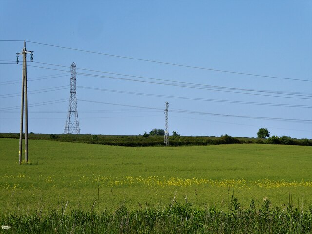
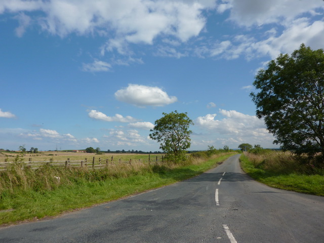
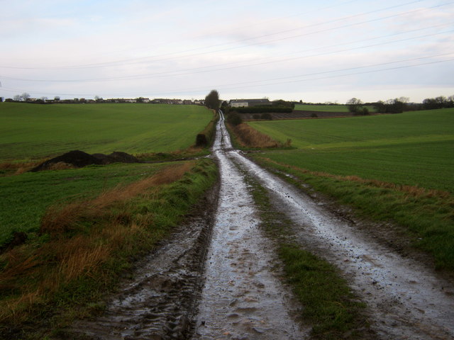
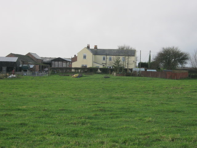
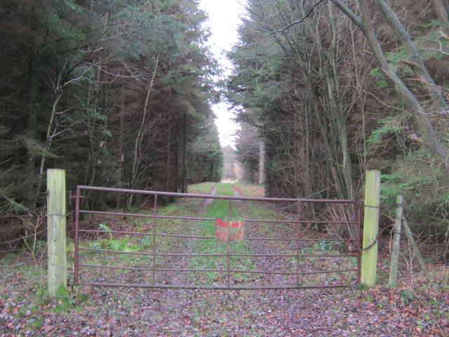
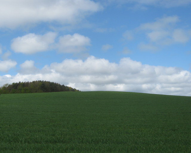
Ben Knowle Belt is a picturesque woodland area located in Durham, England. Situated in the larger Ben Knowle Forest, it covers a considerable expanse and is known for its lush greenery, diverse flora, and tranquil ambiance. The forest is situated in close proximity to the village of Ben Knowle, adding to its accessibility and popularity among locals and tourists alike.
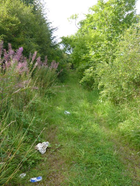
The woodland is home to a variety of tree species, including oak, beech, and birch, which create a dense canopy overhead, providing shade and shelter to numerous animals and birds. The forest floor is covered in a rich carpet of moss, ferns, and wildflowers, adding to its natural beauty.
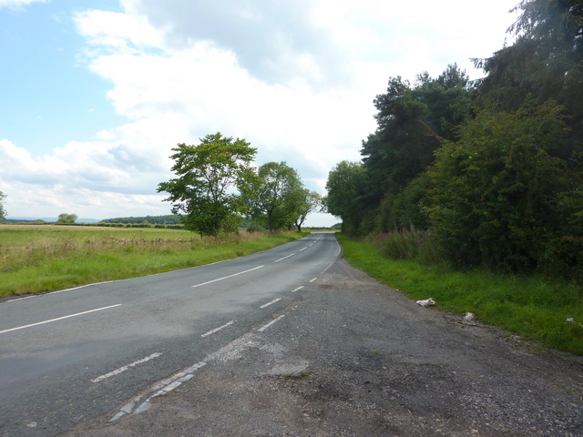
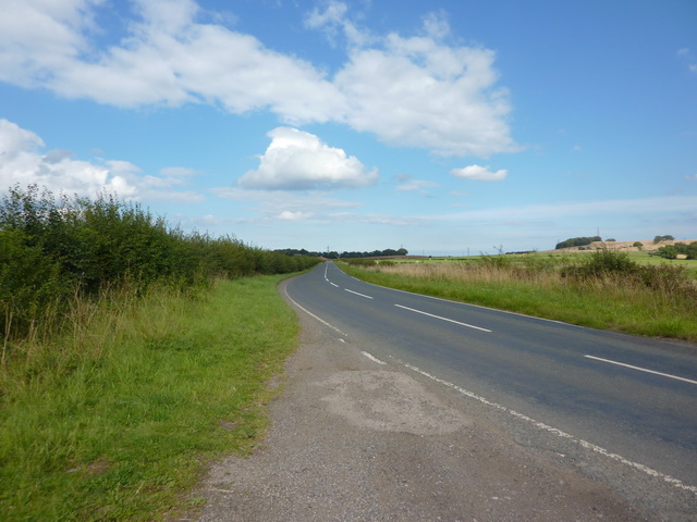
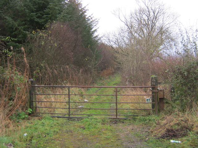
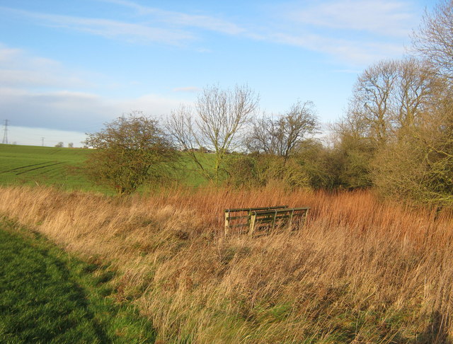
Ben Knowle Belt offers several walking trails and footpaths, allowing visitors to explore the forest at their own pace. These pathways vary in difficulty and length, catering to individuals of different fitness levels. The forest is also equipped with picnic areas and benches, providing a perfect spot for visitors to rest and enjoy a packed lunch amidst the serene surroundings.
The forest is not only a haven for nature enthusiasts but also serves as an important ecological site. It supports a diverse range of wildlife, including deer, foxes, badgers, and a variety of bird species. It is not uncommon to spot woodpeckers, owls, and squirrels during a walk through the forest.
Overall, Ben Knowle Belt in Durham is a charming woodland area that offers a peaceful escape from the hustle and bustle of daily life. With its scenic beauty and abundant wildlife, it is a must-visit destination for nature lovers and those seeking solace in the great outdoors.
If you have any feedback on the listing, please let us know in the comments section below.
Ben Knowle Belt Images
Images are sourced within 2km of 54.703392/-1.3267473 or Grid Reference NZ4334. Thanks to Geograph Open Source API. All images are credited.


Ben Knowle Belt is located at Grid Ref: NZ4334 (Lat: 54.703392, Lng: -1.3267473)
Unitary Authority: County Durham
Police Authority: Durham
What 3 Words
///replaying.competent.rehearsed. Near Elwick, Co. Durham
Nearby Locations
Related Wikis

Sheraton, County Durham
Sheraton is a village in County Durham in England. It is situated a few miles to the north-west of Hartlepool. The A19 road bisects the village. In medieval...

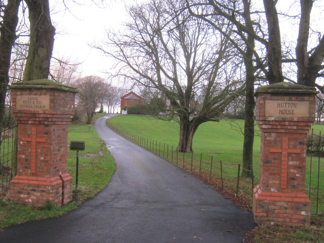
Hutton Henry
Hutton Henry is a village in the civil parish of Hutton Henry and Station Town, in County Durham, England, near Peterlee, Castle Eden and Wingate. The...
Hart Bog
Hart Bog (grid reference NZ452354) is a 1.79 hectare biological Site of Special Scientific Interest in County Durham, England notified in 1968. SSSIs are...
Pike Whin Bog
Pike Whin Bog is a Site of Special Scientific Interest in the Easington district of east County Durham, England. It is situated just east of Hurworth Burn...
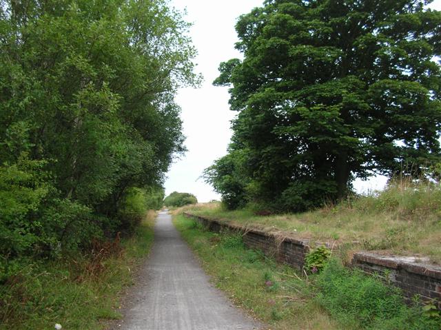
Hurworth Burn railway station
Hurworth Burn railway station was a railway station on the Castle Eden branch of the North Eastern Railway (NER) from 1880 to 1931. It was located between...

Elwick, County Durham
Elwick is a village and civil parish in the borough of Hartlepool in County Durham, England. It is situated near the A19 road to the west of Hartlepool...
Eden Vale
Eden Vale is a small village in County Durham, in England. It is a few miles to the south of Peterlee. == References ==
Hulam Fen
Hulam Fen is a Site of Special Scientific Interest in the Easington district of east County Durham, England, just south of the village of Hesleden, about...
Nearby Amenities
Located within 500m of 54.703392,-1.3267473Have you been to Ben Knowle Belt?
Leave your review of Ben Knowle Belt below (or comments, questions and feedback).