Doverdale

Settlement in Worcestershire Wychavon

England

Doverdale

The door of Doverdale church
The door of Doverdale church Credit: Jeff Gogarty

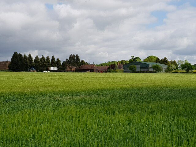
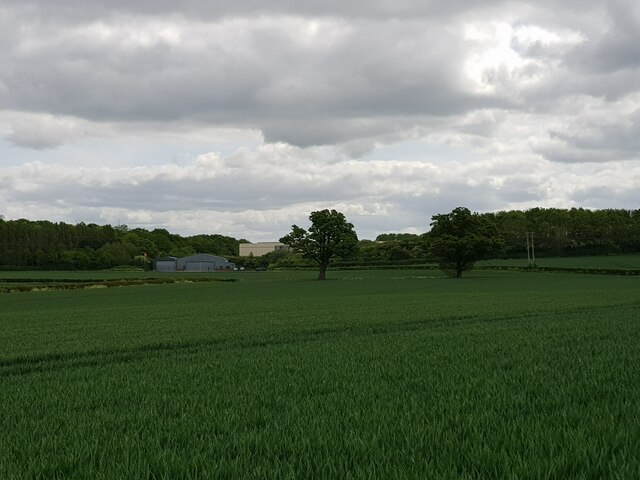
Doverdale is a small village located in the county of Worcestershire, England. Situated approximately 4 miles south of the town of Droitwich Spa, Doverdale is nestled in a picturesque countryside landscape, surrounded by fields and farmland.

The village is home to a relatively small population, with only a few hundred residents. Despite its size, Doverdale boasts a close-knit community, known for its friendly and welcoming atmosphere. The village is primarily residential, with a mix of traditional cottages and modern houses scattered throughout the area.

In terms of amenities, Doverdale offers limited facilities within the village itself. However, nearby towns and villages provide easy access to essential services such as shops, schools, and healthcare facilities. The village benefits from its proximity to Droitwich Spa, where residents can find a wider range of amenities and recreational activities.

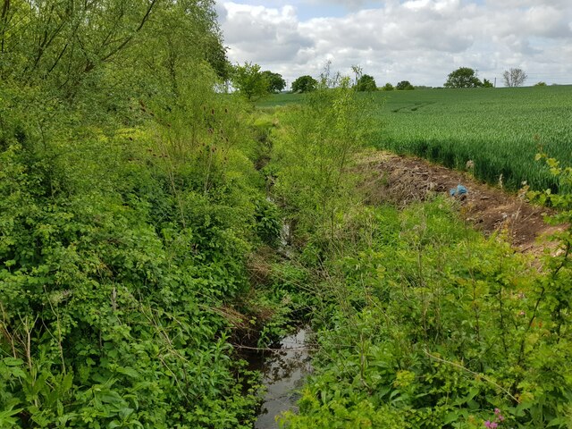
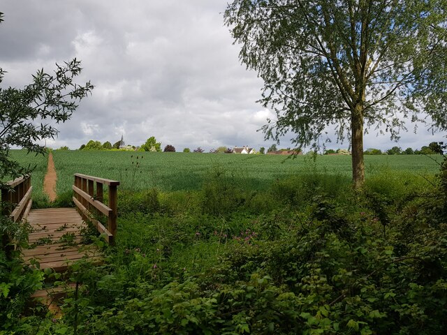
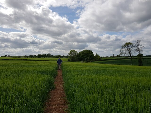
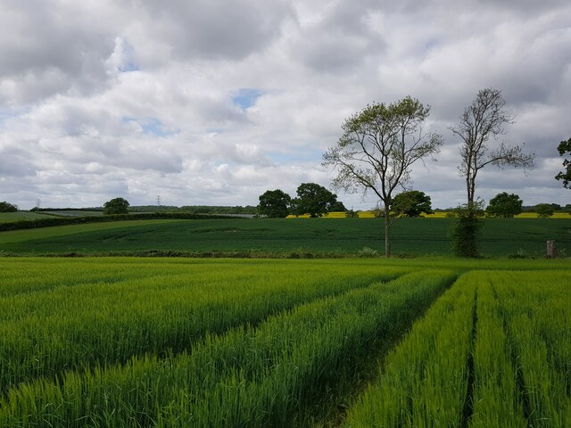
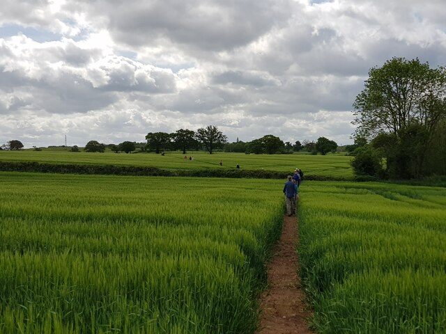
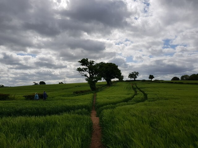
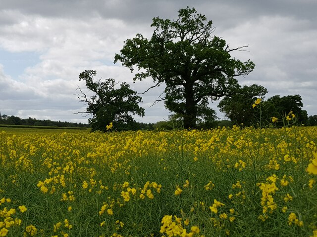
Nature lovers will appreciate Doverdale's rural setting, as the village is surrounded by beautiful countryside. The area is ideal for outdoor enthusiasts, with numerous walking trails and cycling routes nearby. Additionally, the picturesque River Salwarpe flows close to the village, offering opportunities for fishing and boating.

Overall, Doverdale is a peaceful and idyllic village, perfect for those seeking a tranquil lifestyle away from the hustle and bustle of larger towns and cities. Its charming countryside location, coupled with a strong sense of community, makes Doverdale an attractive place to live for those who appreciate a slower pace of life.

If you have any feedback on the listing, please let us know in the comments section below.
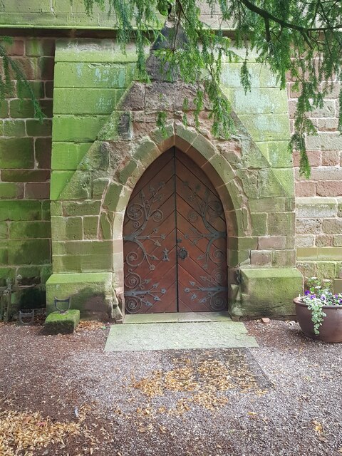
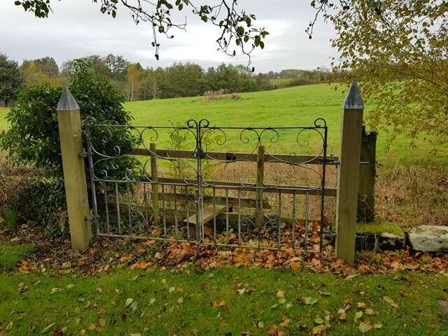
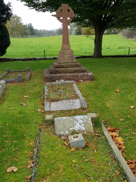
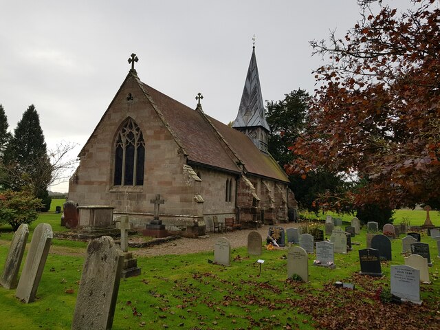
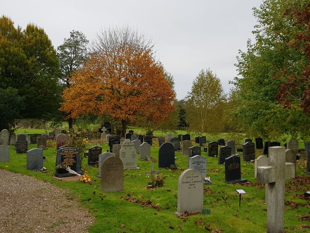
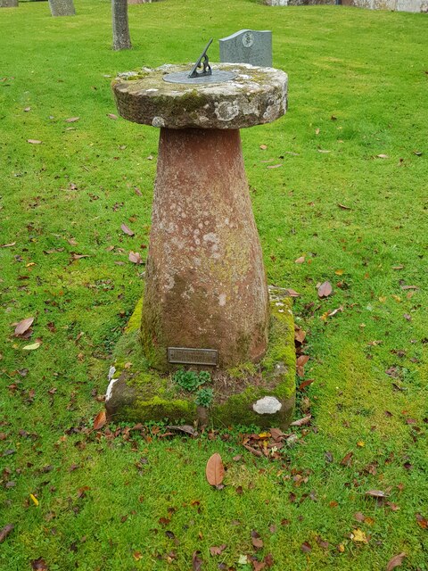
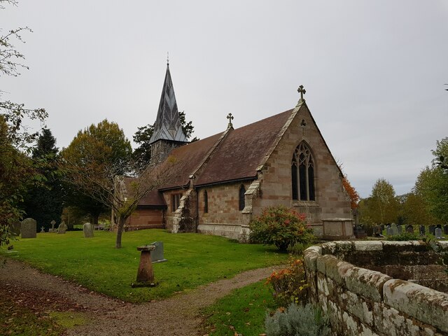
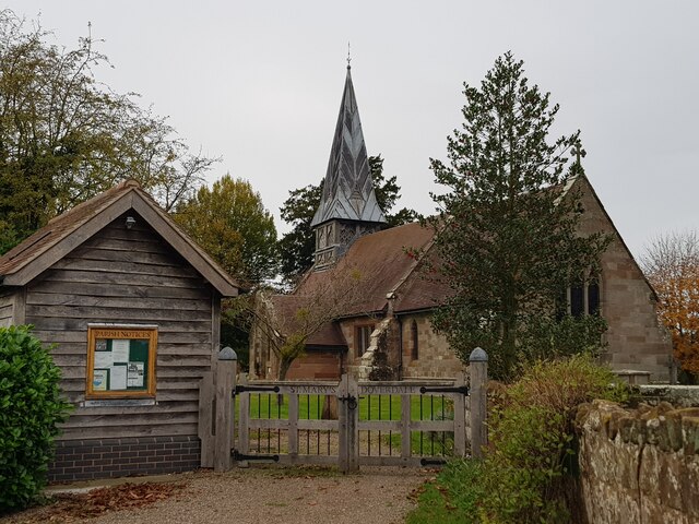
Doverdale Images

Images are sourced within 2km of 52.293493/-2.205507 or Grid Reference SO8666. Thanks to Geograph Open Source API. All images are credited.

The door of Doverdale church
Gated stile at corner of Doverdale churchyard
Cross and graves in Doverdale Churchyard
Church of St Mary, Doverdale (from the North East)
Autumn colour, Doverdale churchyard
Sundial, Doverdale church
Church of St Mary, Doverdale (from the South East)
St Mary's Doverdale from the car park
Ditch with stream, near Church Farm, Doverdale
Footbridge and footpath through crops, Doverdale The spire of Doverdale Church <a href="https://www.geograph.org.uk/photo/5136945">SO8666 : St Mary's Church, Doverdale</a> can just be made out to the right of the path.
Footbridge and footpath through crops, Doverdale
The spire of Doverdale Church SO8666 : St Mary's Church, Doverdale can just be made out to the right of the path.
Footpath through crops with walker, Doverdale
Two trees marking position of a stream, Doverdale
A long line of walkers Crossing fields near Doverdale.
A long line of walkers
Crossing fields near Doverdale.
Footpath reaches field boundary
Packington Farm from the fields
Trees viewed over a field of rape
Industrial estate between the trees
Lake by Dean's Wood, Oldfield
Show me another place!

Doverdale is located at Grid Ref: SO8666 (Lat: 52.293493, Lng: -2.205507)

Administrative County: Worcestershire

District: Wychavon

Police Authority: West Mercia

What 3 Words

///vocab.clever.reworked. Near Hartlebury, Worcestershire

Nearby Locations

Doverdale

Related Wikis

Doverdale

Doverdale is a small village and civil parish in Worcestershire, England, to the west of Droitwich. It has a parish church. Doverdale Manor is one of largest...

Snead's Green

Snead's Green, sometimes written Sneads Green, is an area of Droitwich Spa, Worcestershire, England.Francis Moule, of Snead's Green House, sold the manorial...

Dunhampton

Dunhampton is a village in Worcestershire, England.

Cutnall Green Halt railway station

Cutnall Green Halt was a railway station in Worcestershire, England, serving the nearby village of Hampton Lovett on the Oxford, Worcester and Wolverhampton...

Nearby Amenities

Located within 500m of 52.293493,-2.205507
Power: tower
Source: bing
Lat/Long: 52.2910823/-2.2112868
Power: tower
Source: bing
Lat/Long: 52.2942681/-2.2123376
Post Box
Ref: WR9 362
Royal Cypher: GVIR
Royal Cypher Wikidata: Q33102169
Lat/Long: 52.2934957/-2.2054117
Power: pole
Lat/Long: 52.295813/-2.1998756
Power: pole
Lat/Long: 52.2948913/-2.1991216
Pub
The Honey Bee
Lat/Long: 52.2948372/-2.2090496
Doverdale South
Power: pole
Transformer: distribution
Voltage Primary: 11000
Lat/Long: 52.2923494/-2.2078322
Power: pole
Lat/Long: 52.2934527/-2.2075801
Honey Bee
Power: pole
Transformer: distribution
Voltage Primary: 11000
Lat/Long: 52.294245/-2.2076605
Power: pole
Lat/Long: 52.2939637/-2.206823
Church Farm Cottage
Power: pole
Transformer: distribution
Voltage Primary: 11000
Lat/Long: 52.2931352/-2.2022049
Power: pole
Lat/Long: 52.2930672/-2.2036211
Doverdale
Power: pole
Transformer: distribution
Voltage Primary: 11000
Lat/Long: 52.2935872/-2.2049421
Power: pole
Lat/Long: 52.2938222/-2.2055127
Power: pole
Lat/Long: 52.2941884/-2.2064951
Power: pole
Lat/Long: 52.2948741/-2.2062819
Power: pole
Lat/Long: 52.2955188/-2.2060901
Power: pole
Lat/Long: 52.2962152/-2.2058621
Power: pole
Lat/Long: 52.2968894/-2.2056609
Power: pole
Lat/Long: 52.2975635/-2.2054531
The data included in this document is from www.openstreetmap.org. The data is made available under ODbL.

Have you been to Doverdale?

Leave your review of Doverdale below (or comments, questions and feedback).