Appleton Upper Common

Wood, Forest in Berkshire Vale of White Horse

England

Appleton Upper Common

Whites Forge, Appleton
Whites Forge, Appleton Credit: David Howard

Appleton Upper Common is a scenic and tranquil woodland located in Berkshire, England. Situated near the village of Appleton, it covers an area of approximately 150 acres and is renowned for its natural beauty and diverse wildlife.

The common is predominantly covered in dense woodland, consisting of a variety of trees including oak, beech, and birch. These trees create a lush and vibrant canopy, providing a peaceful and shaded environment for visitors to enjoy. The forest floor is adorned with a carpet of wildflowers, adding to the area's charm and beauty.

The common is home to a wide range of wildlife, making it a popular spot for nature enthusiasts. Various bird species can be spotted, such as woodpeckers, owls, and thrushes, while mammals including deer, foxes, and squirrels can also be found roaming the woods. The woodland is known for its diverse insect population, with butterflies, bees, and dragonflies buzzing around.

In addition to its natural beauty, Appleton Upper Common offers several walking trails for visitors to explore. These well-maintained paths wind through the woodland, providing opportunities for peaceful strolls and invigorating hikes. The trails are suitable for all fitness levels, making it an ideal destination for families, nature lovers, and outdoor enthusiasts alike.

Overall, Appleton Upper Common is a picturesque woodland retreat, offering visitors a chance to immerse themselves in nature's tranquility. With its stunning scenery, abundant wildlife, and peaceful walking trails, it is a must-visit destination for anyone seeking a respite from the hustle and bustle of everyday life.

If you have any feedback on the listing, please let us know in the comments section below.

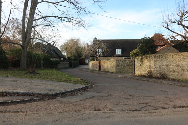
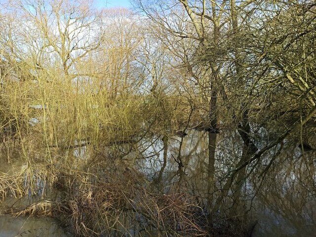
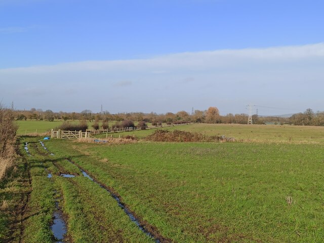
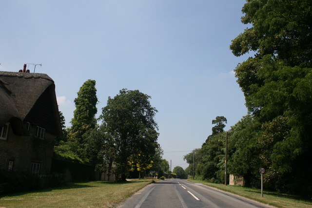
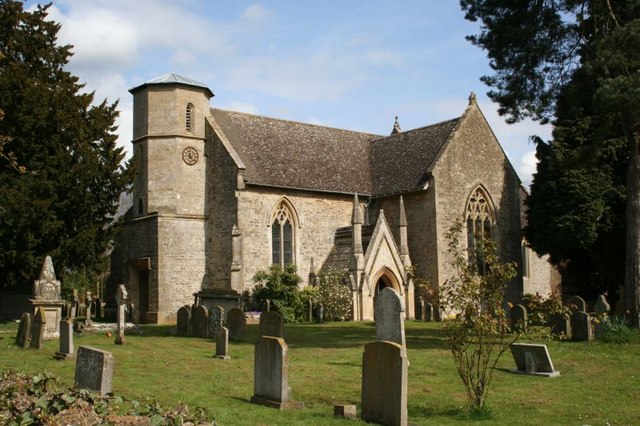
Appleton Upper Common Images

Images are sourced within 2km of 51.694751/-1.3773668 or Grid Reference SU4399. Thanks to Geograph Open Source API. All images are credited.

Whites Forge, Appleton
Pond in Appleton
Pond in Appleton
Field by Netherton Road, Appleton Looking towards Appleton Lower Common
Field by Netherton Road, Appleton
Looking towards Appleton Lower Common
Netherton Road, Appleton
Netherton Road west of Appleton Appleton Upper Common is on the right.
Netherton Road west of Appleton
Appleton Upper Common is on the right.
Oil Drum on the Thames Path An old Castrol oil drum standing in a field beside the Thames. 
At a guess it's been pulled out of the water by someone, or left here in a flood.
Oil Drum on the Thames Path
An old Castrol oil drum standing in a field beside the Thames. At a guess it's been pulled out of the water by someone, or left here in a flood.
View from Hart's Weir Footbridge Looking northwards over the flat upper Thames flood plain.
The bridge is on the site of an old weir which was removed long ago.
View from Hart's Weir Footbridge
Looking northwards over the flat upper Thames flood plain. The bridge is on the site of an old weir which was removed long ago.
Was this once a bigger river? Total guesswork here, but was this once a bit of main river? I see from the map that this now neglected backwater is still a local authority boundary, and years ago would have been a county one.
For centuries on my left was Berkshire, with Oxfordshire on the right. Reorganizations changed that in the 1970s, but you would think that a county border would have followed the main River Thames, not a swampy ditch like this. There was once a weir, Hart's Weir, nearby. It was taken out, which may have altered the flows.
Was this once a bigger river?
Total guesswork here, but was this once a bit of main river? I see from the map that this now neglected backwater is still a local authority boundary, and years ago would have been a county one. For centuries on my left was Berkshire, with Oxfordshire on the right. Reorganizations changed that in the 1970s, but you would think that a county border would have followed the main River Thames, not a swampy ditch like this. There was once a weir, Hart's Weir, nearby. It was taken out, which may have altered the flows.
Footpath Junction and Pylon Four footpaths meet here near the Hart's Weir footbridge over the Thames.
Footpath Junction and Pylon
Four footpaths meet here near the Hart's Weir footbridge over the Thames.
The Thames at Hart's Weir Bridge A view downstream from the footbridge towards one of the isolated riverside houses near Appleton
The Thames at Hart's Weir Bridge
A view downstream from the footbridge towards one of the isolated riverside houses near Appleton
Flooded woods close to Appleton
Marsh Lane
Marsh Lane
Appleton Common
Appleton Common
Appleton Common
Appleton Common
River Thames
River Thames
Bridge over River Thames (Appleton)
St Nicholas Church, Fyfield, Oxfordshire The Church of England parish church of St. Nicholas was originally a late 12th or early 13th century Norman building. In the 14th century it was largely rebuilt with the addition of a north aisle and a south transept. In 1893 a fire badly damaged the church and it was extensively restored thereafter.
St Nicholas Church, Fyfield, Oxfordshire
The Church of England parish church of St. Nicholas was originally a late 12th or early 13th century Norman building. In the 14th century it was largely rebuilt with the addition of a north aisle and a south transept. In 1893 a fire badly damaged the church and it was extensively restored thereafter.
Show me another place!

Appleton Upper Common is located at Grid Ref: SU4399 (Lat: 51.694751, Lng: -1.3773668)

Administrative County: Oxfordshire

District: Vale of White Horse

Police Authority: Thames Valley

What 3 Words

///concluded.silence.pastime. Near Kingston Bagpuize, Oxfordshire

Related Wikis

Fyfield and Tubney

Fyfield and Tubney is a civil parish in The Vale of White Horse district of Oxfordshire, England. It includes the village of Fyfield which is about 4.5...

Tubney

Tubney is a small village and former civil parish, now in the parish of Fyfield and Tubney, in the Vale of White Horse district, in Oxfordshire, England...

Appleton Lower Common

Appleton Lower Common is a 47.3-hectare (117-acre) biological Site of Special Scientific Interest west of Appleton in Oxfordshire.The common has diverse...

Fyfield, Oxfordshire

Fyfield is a village and former civil parish, now in the parish of Fyfield and Tubney, in the Vale of White Horse district, in the county of Oxfordshire...

Nearby Amenities

Located within 500m of 51.694751,-1.3773668
Power: pole
Lat/Long: 51.698209/-1.3774316
Power: pole
Lat/Long: 51.6977794/-1.3789552
Power: pole
Lat/Long: 51.6986194/-1.3759457
Power: pole
Lat/Long: 51.6979828/-1.3811043
The data included in this document is from www.openstreetmap.org. The data is made available under ODbL.

Have you been to Appleton Upper Common?

Leave your review of Appleton Upper Common below (or comments, questions and feedback).