Dovaston
Settlement in Shropshire
England
Dovaston

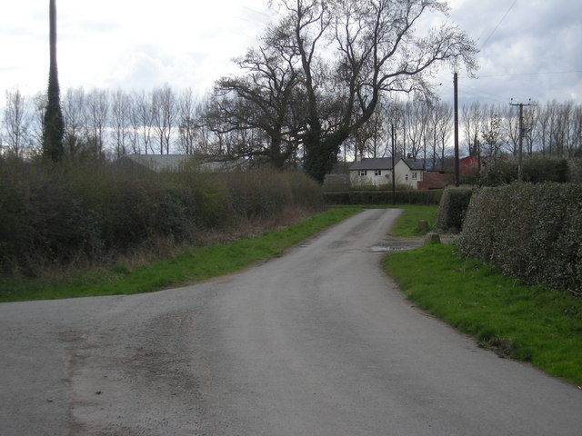
Dovaston is a small village located in the county of Shropshire, England. Situated about 6 miles south-east of the town of Shrewsbury, it is nestled amidst the picturesque countryside of the county. The village is part of the civil parish of Condover and falls within the Shropshire Council administrative area.
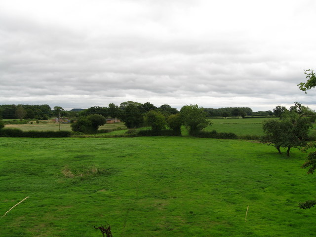
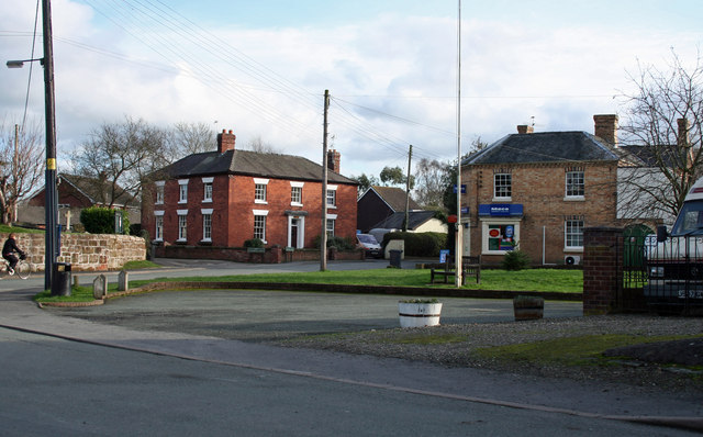
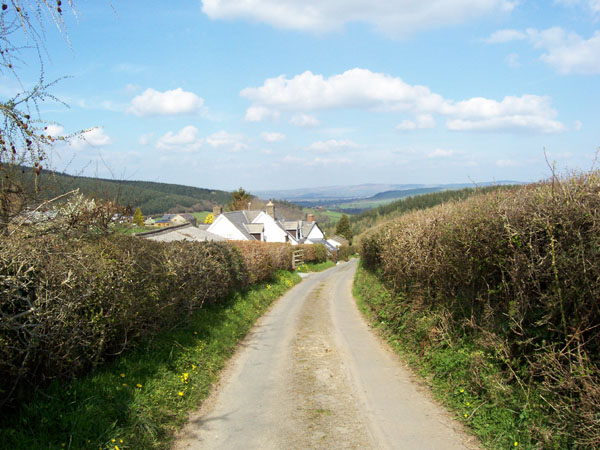
With a population of around 400 residents, Dovaston retains a peaceful and rural atmosphere. The village is characterized by its charming, traditional architecture, featuring a mix of well-preserved cottages and larger houses. The surrounding landscape is predominantly agricultural, with rolling fields, meadows, and patches of woodland.
Despite its small size, Dovaston offers a few amenities to its residents. These include a local pub, which serves as a social hub for the community, and a village hall that hosts various events and activities throughout the year. Dovaston also benefits from its proximity to the nearby town of Condover, where residents can find additional amenities such as shops, schools, and healthcare facilities.
The village is well-positioned for those who enjoy outdoor pursuits, as it is located near the edge of the Shropshire Hills Area of Outstanding Natural Beauty. This designation ensures that the area is protected and offers a wealth of opportunities for hiking, cycling, and exploring the stunning countryside.
In summary, Dovaston is a tranquil and idyllic village in Shropshire, characterized by its rural setting, traditional architecture, and close-knit community.
If you have any feedback on the listing, please let us know in the comments section below.
Dovaston Images
Images are sourced within 2km of 52.781928/-2.97361 or Grid Reference SJ3420. Thanks to Geograph Open Source API. All images are credited.


Dovaston is located at Grid Ref: SJ3420 (Lat: 52.781928, Lng: -2.97361)
Unitary Authority: Shropshire
Police Authority: West Mercia
What 3 Words
///pulled.tightrope.blindfold. Near Ruyton-XI-Towns, Shropshire
Nearby Locations
Related Wikis
Kinnerley
Kinnerley (historic Welsh name: Generdinlle) is a small village in Shropshire, England. It lies between the neighbouring villages of Dovaston and Pentre...

Kinnerley Junction railway station
Kinnerley Junction railway station was a station to the north of Kinnerley, Shropshire, England. The station was opened in 1866 and closed in 1933. �...
Kynaston, Shropshire
Kynaston is an English hamlet in the parish of Kinnerley, Shropshire. It was described in 1870 as "KYNASTONE, a township in Kinnerley parish, Salop; 7½...
Edgerley Halt railway station
Edgerley Halt railway station was a station to the southeast of Kinnerley, Shropshire, England. The station was opened in 1927 and closed in 1933. ��2...
Knockin Castle
Knockin Castle is situated in the village of Knockin on Shropshire between Oswestry and Shrewsbury (grid reference SJ334223), England. This was a motte...

Knockin
Knockin (Welsh: Cnwcin) is a village and civil parish in north-west Shropshire, England. It is located on the B4396 road, around 5 miles (8.0 km) south...
Argoed, Shropshire
Argoed is a village in Shropshire, England, on the border with Wales. The name itself is Welsh and means "by a wood", and probably derives from early medieval...

Nesscliffe Training Area
The Nesscliffe Training Area is a military training facility located near Nesscliffe in Shropshire. == History == The training area is located on and around...
Nearby Amenities
Located within 500m of 52.781928,-2.97361Have you been to Dovaston?
Leave your review of Dovaston below (or comments, questions and feedback).