Smooth Coppice
Wood, Forest in Leicestershire North West Leicestershire
England
Smooth Coppice
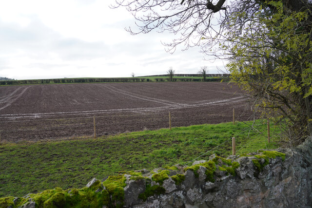
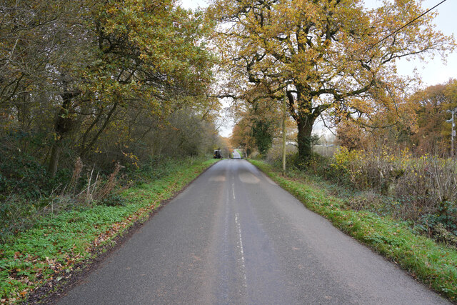
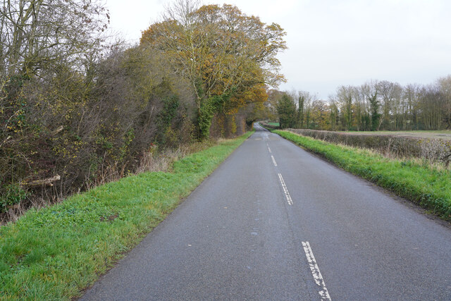
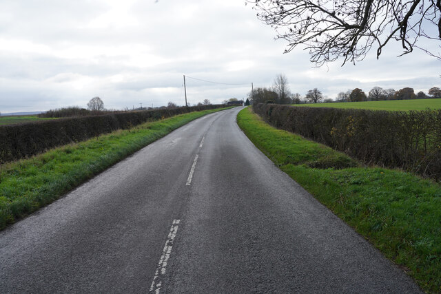
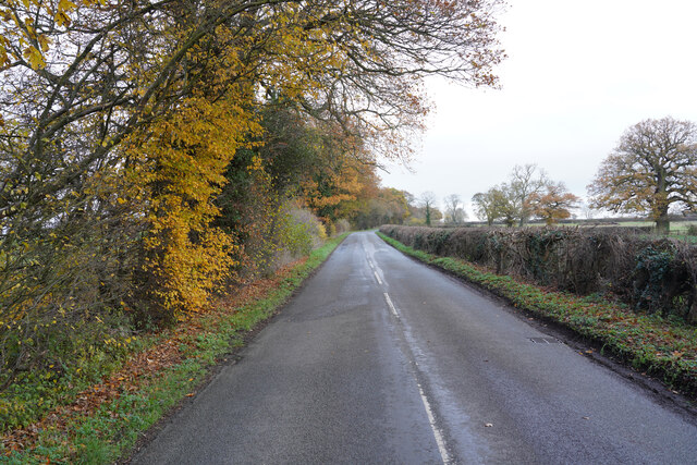
Smooth Coppice is a woodland area located in Leicestershire, a county in the East Midlands region of England. Covering an area of approximately 100 hectares, Smooth Coppice is a part of the larger Charnwood Forest, which is renowned for its natural beauty and rich biodiversity. The woodland is situated near the village of Woodhouse Eaves, close to the town of Loughborough.
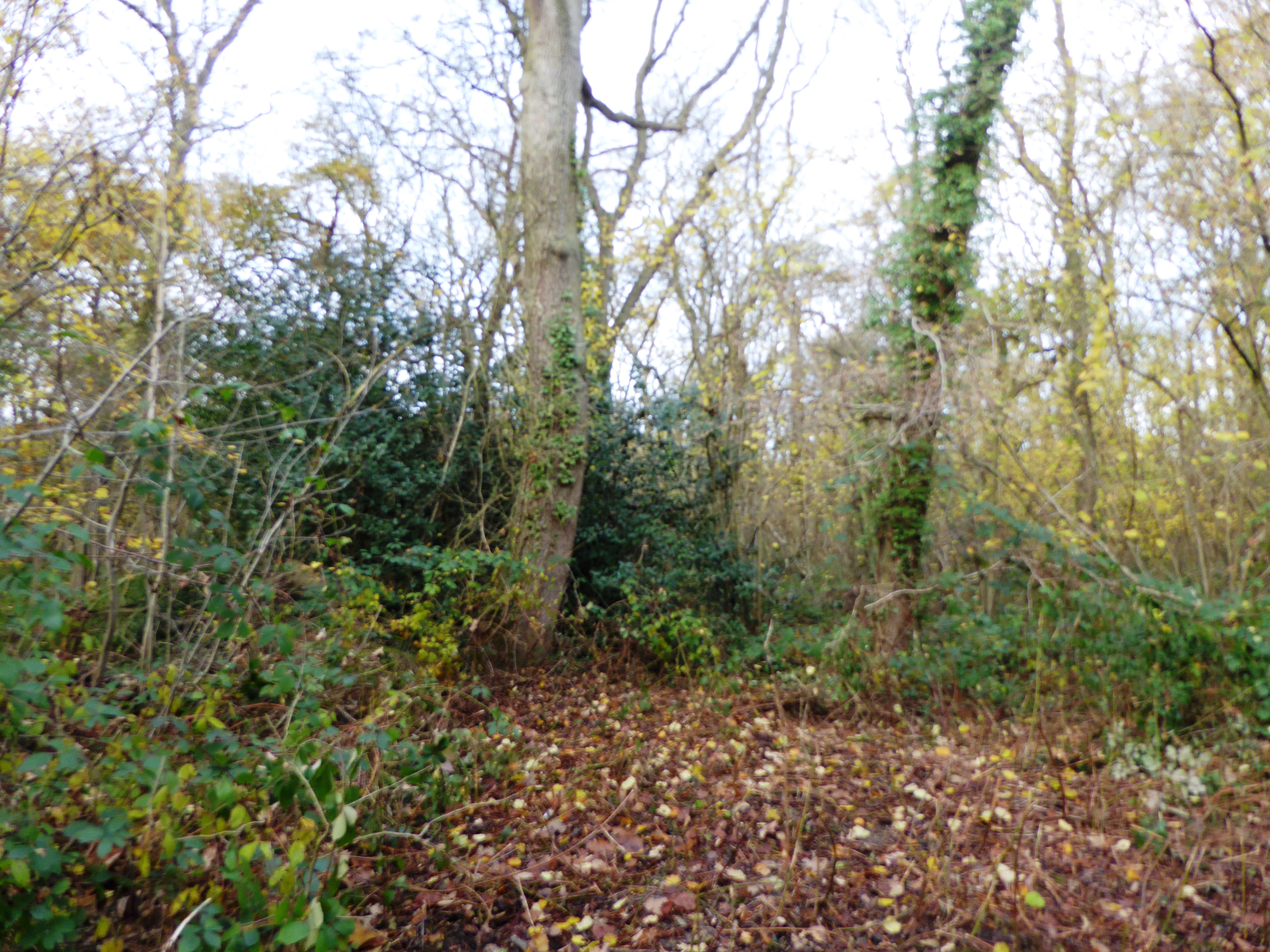
Smooth Coppice is characterized by its dense canopy of trees, predominantly consisting of native species such as oak, beech, and silver birch. These trees provide a habitat for a diverse range of wildlife, including various bird species, small mammals, and insects. The woodland floor is covered in a thick layer of leaf litter, creating a rich ecosystem of fungi, mosses, and ferns.
The forest is a popular destination for nature enthusiasts and walkers, offering a network of well-marked trails that wind through the ancient woodland. These paths provide visitors with an opportunity to explore the natural beauty of the area, while also learning about its ecological importance through informative signage along the way.
Smooth Coppice is managed by the local authorities, who strive to maintain the woodland's natural balance and protect its biodiversity. Conservation efforts include selective tree thinning, ensuring the preservation of the forest's unique ecosystem.
Overall, Smooth Coppice in Leicestershire is a picturesque woodland that offers visitors a chance to immerse themselves in nature and appreciate the beauty of one of England's cherished forested areas.
If you have any feedback on the listing, please let us know in the comments section below.
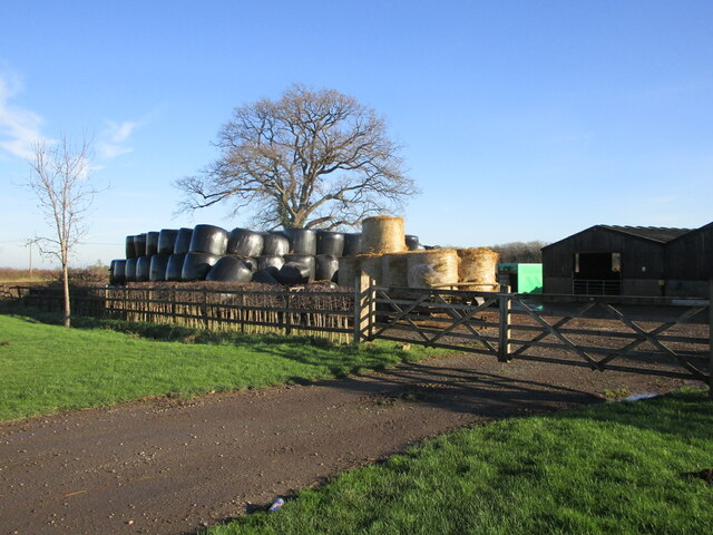
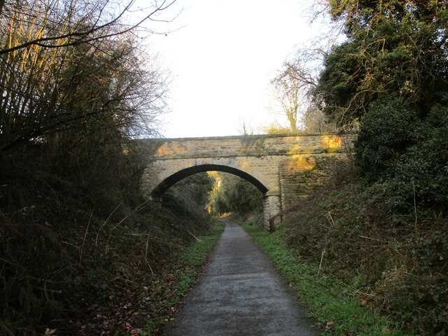
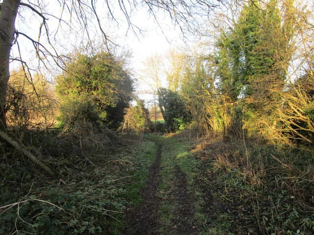
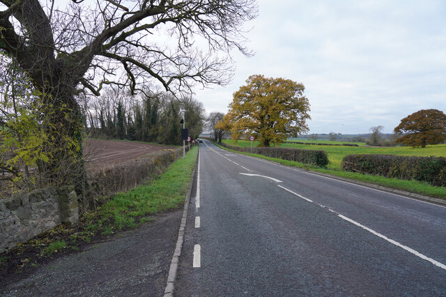
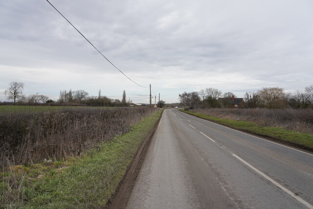
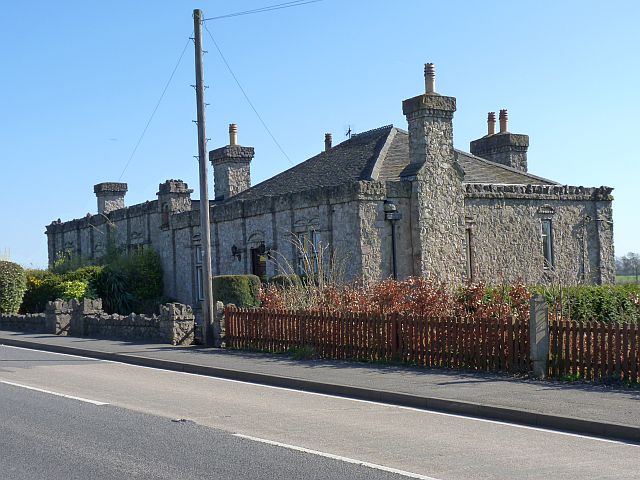
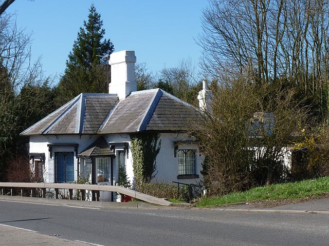
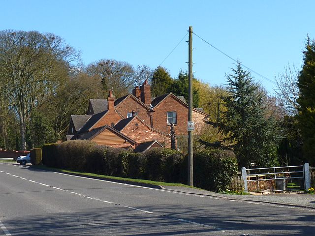
Smooth Coppice Images
Images are sourced within 2km of 52.809054/-1.3673595 or Grid Reference SK4223. Thanks to Geograph Open Source API. All images are credited.

Smooth Coppice is located at Grid Ref: SK4223 (Lat: 52.809054, Lng: -1.3673595)
Administrative County: Leicestershire
District: North West Leicestershire
Police Authority: Leicestershire
What 3 Words
///sizzled.conceals.nodded. Near Castle Donington, Leicestershire
Nearby Locations
Related Wikis
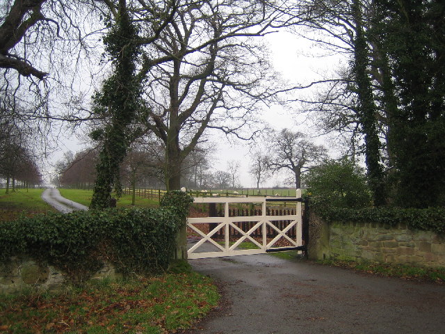
Langley Priory
Langley Priory is a former Benedictine nunnery in the civil parish of Isley cum Langley, in the North West Leicestershire district, in the county of Leicestershire...
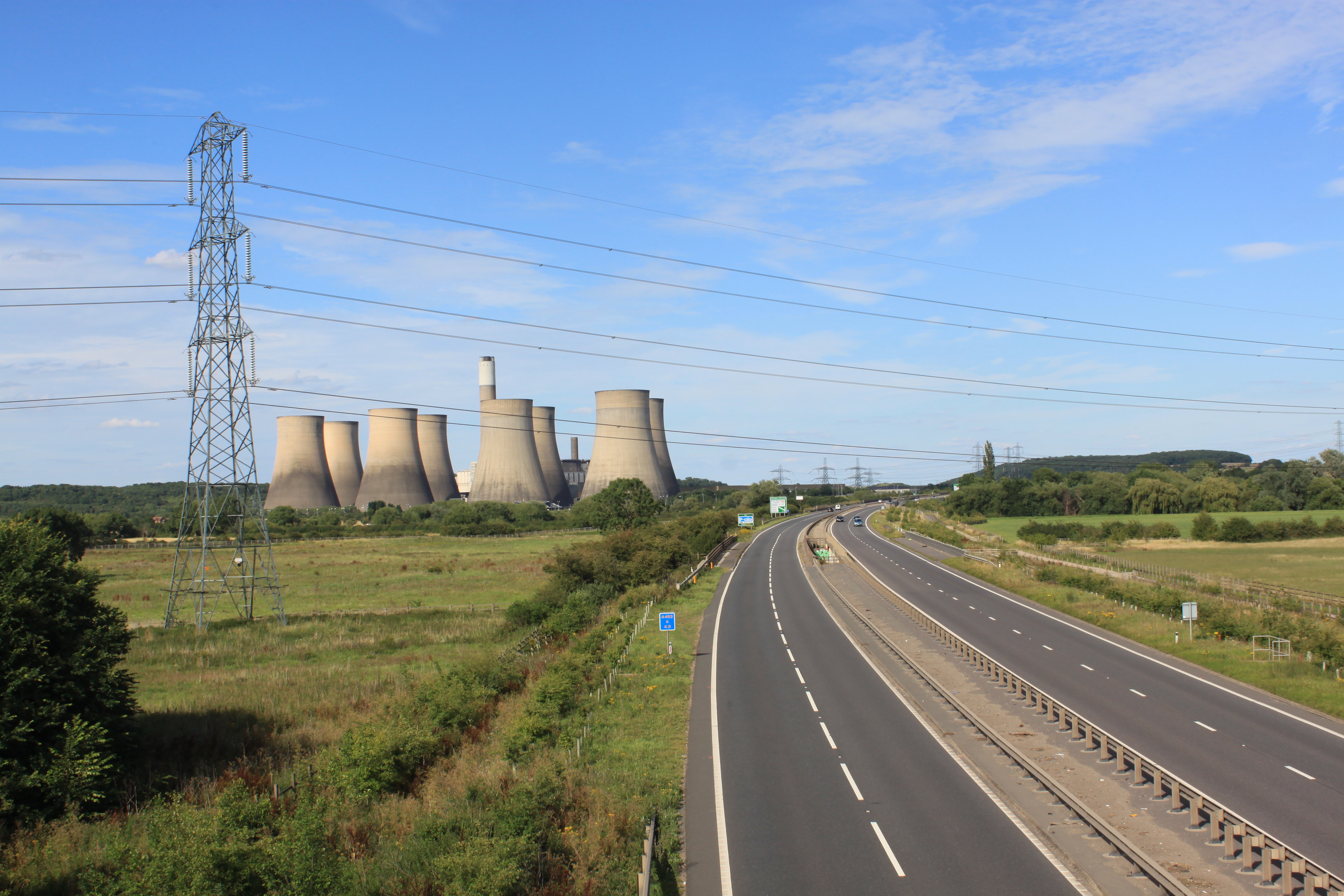
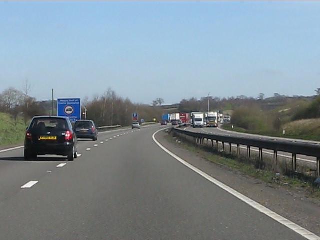
A453 road
The A453 road was formerly the main trunk road connecting the English cities of Nottingham and Birmingham. However, the middle section of this mainly single...
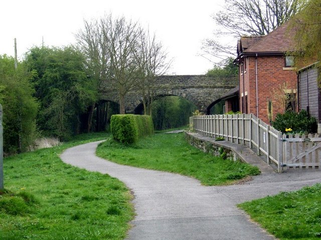
Tonge and Breedon railway station
Tonge and Breedon railway station was a station at Tonge that served the adjacent village of Breedon-on-the-Hill, Leicestershire, England. == History... ==

Isley cum Langley
Isley cum Langley is a civil parish in the North West Leicestershire district of Leicestershire, England. According to the 2001 census it had a population...

Donington Grand Prix Collection
The Donington Grand Prix Collection, sometime known as the Donington Grand Prix Exhibition, was a museum of motor racing cars, based at the Donington Park...
Church of St Mary and St Hardulph, Breedon on the Hill
The Priory Church of St Mary and St Hardulph is the Church of England parish church of Breedon on the Hill, Leicestershire, England. The church has also...
Pasture and Asplin Woods
Pasture and Asplin Woods is a 40.9 hectares (101 acres) biological Site of Special Scientific Interest west of Belton in Leicestershire.These ancient woods...
Breedon on the Hill
Breedon on the Hill is a village and civil parish about 5 miles (8 km) north of Ashby-de-la-Zouch in North West Leicestershire, England. The parish adjoins...
Nearby Amenities
Located within 500m of 52.809054,-1.3673595Have you been to Smooth Coppice?
Leave your review of Smooth Coppice below (or comments, questions and feedback).