Paul's Copse
Wood, Forest in Hampshire Basingstoke and Deane
England
Paul's Copse
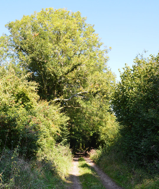
Paul's Copse is a picturesque woodland located in the county of Hampshire, England. Spanning an area of approximately 50 hectares, this enchanting forest is renowned for its natural beauty and diverse ecosystem.
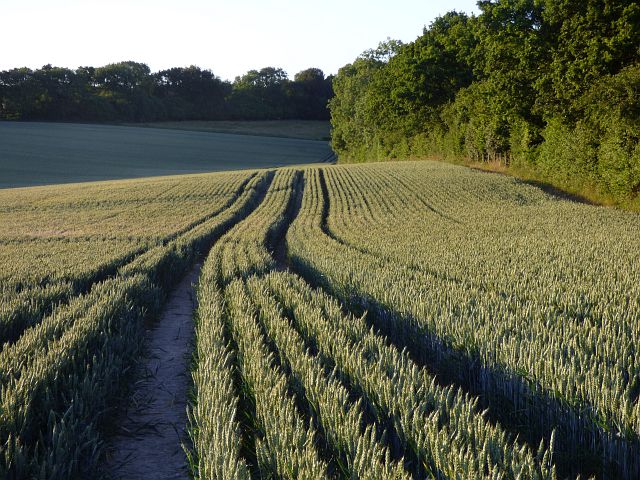
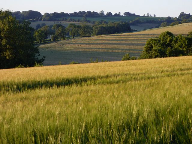
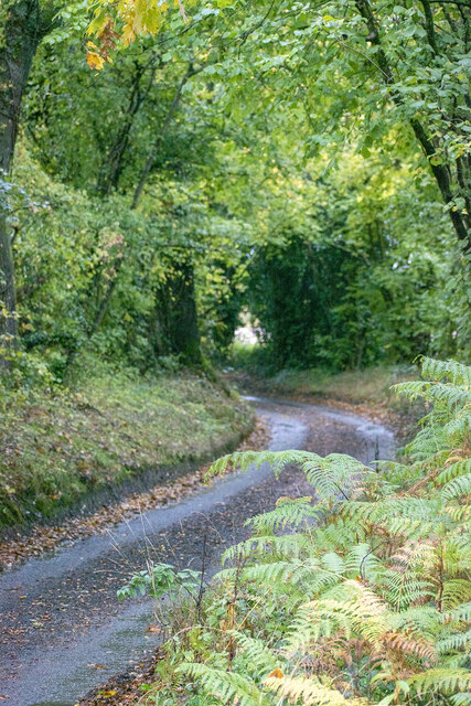
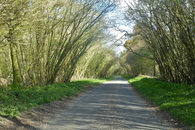
The woodland is characterized by its dense canopy of towering oak and beech trees, which provide ample shade and shelter for a rich variety of flora and fauna. The forest floor is carpeted with a lush carpet of wildflowers, including bluebells, primroses, and wood anemones, creating a vibrant and colorful landscape especially during the spring months.
Paul's Copse is also home to a plethora of wildlife. The forest is teeming with bird species, such as the great spotted woodpecker, tawny owl, and nuthatch, all of which find refuge in the towering trees. Numerous mammals can also be found within the woodland, including deer, foxes, and badgers.
The copse is a popular destination for nature enthusiasts and outdoor enthusiasts alike. It offers a variety of walking trails and paths, allowing visitors to explore the forest's hidden treasures. The peaceful atmosphere and tranquil surroundings make it an ideal location for hiking, picnicking, and wildlife spotting.
Furthermore, the copse plays a vital role in the preservation of the local ecosystem. It acts as a natural carbon sink, absorbing and storing carbon dioxide from the atmosphere, and contributes to the overall health of the region's environment.
Overall, Paul's Copse is an idyllic woodland sanctuary in Hampshire, where visitors can immerse themselves in the beauty of nature and experience the tranquility of a truly remarkable forest.
If you have any feedback on the listing, please let us know in the comments section below.
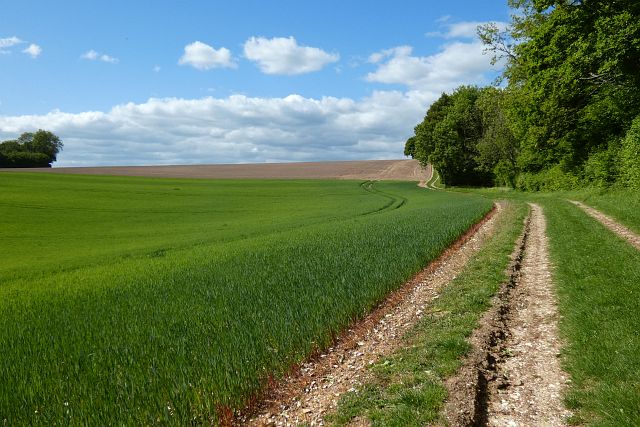
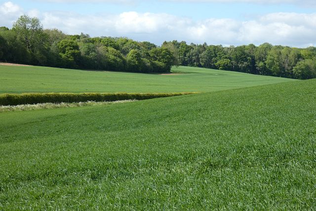
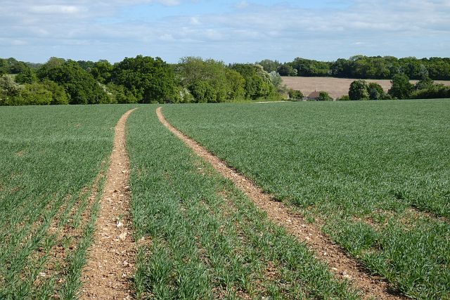
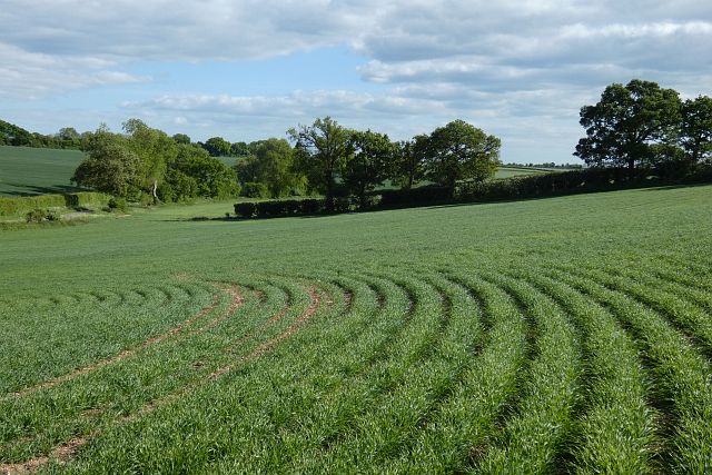
Paul's Copse Images
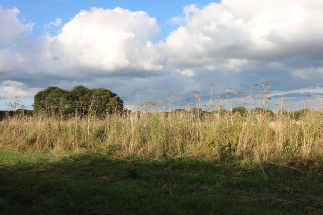
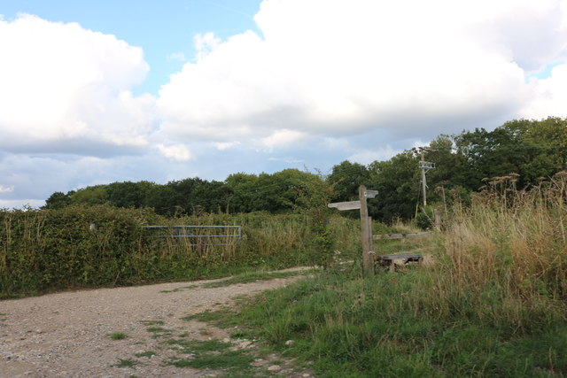
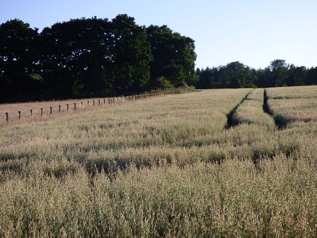
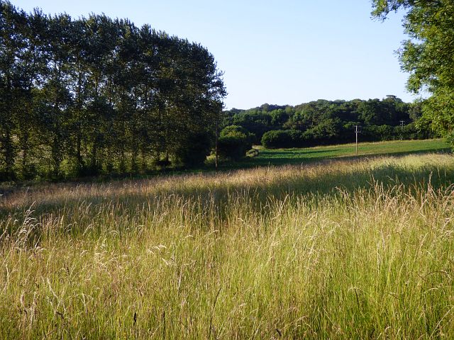
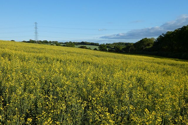
Images are sourced within 2km of 51.285733/-1.3895933 or Grid Reference SU4254. Thanks to Geograph Open Source API. All images are credited.
Paul's Copse is located at Grid Ref: SU4254 (Lat: 51.285733, Lng: -1.3895933)
Administrative County: Hampshire
District: Basingstoke and Deane
Police Authority: Hampshire
What 3 Words
///branched.jolt.circulate. Near Highclere, Hampshire
Nearby Locations
Related Wikis

Upper Woodcott
Upper Woodcott or just Woodcott is a village and former civil parish, now in the parish of Litchfield and Woodcott, in the Basingstoke and Deane district...

Binley, Hampshire
Binley is a village in Hampshire, England. The village lies near the A34 road between Whitchurch and Stockbridge. Its nearest town is Whitchurch, which...
Wadwick
Wadwick is a hamlet and civil parish situated in the North Wessex Downs Area of Outstanding Natural Beauty in the Basingstoke and Deane district of Hampshire...
Lower Woodcott
Lower Woodcott is a small village in the Basingstoke and Deane district of Hampshire, Englannd. Its nearest town is Whitchurch, which lies approximately...
Nearby Amenities
Located within 500m of 51.285733,-1.3895933Have you been to Paul's Copse?
Leave your review of Paul's Copse below (or comments, questions and feedback).