Mays Copse

Wood, Forest in Hampshire Basingstoke and Deane

England

Mays Copse

Fields by the A343, Hollington Cross
Fields by the A343, Hollington Cross Credit: David Howard

Mays Copse is a picturesque woodland located in Hampshire, England. Covering an area of approximately 10 acres, it is nestled in the heart of the Hampshire countryside, providing a tranquil and scenic escape for nature lovers and outdoor enthusiasts.

The copse is predominantly composed of mature broadleaf trees, including oak, beech, and ash, which create a dense canopy that filters sunlight and creates a cool and shaded environment below. These trees support a diverse range of flora and fauna, contributing to the copse's ecological value.

Visitors to Mays Copse can enjoy a network of well-maintained trails that wind their way through the woodland, providing an opportunity for leisurely walks or more vigorous hikes. Along these trails, one can find a variety of wildflowers, such as bluebells and primroses, which carpet the forest floor during the spring months.

The copse is also home to a diverse range of wildlife, including birds, mammals, and insects. Birdwatchers may be lucky enough to spot species such as woodpeckers, owls, and various songbirds. The woodland also provides habitat for mammals like deer, foxes, and badgers.

Mays Copse is a popular destination for nature enthusiasts, photographers, and families looking to enjoy the great outdoors. Its serene atmosphere, combined with its natural beauty and rich biodiversity, make it a truly enchanting location to explore and appreciate the wonders of Hampshire's woodlands.

If you have any feedback on the listing, please let us know in the comments section below.
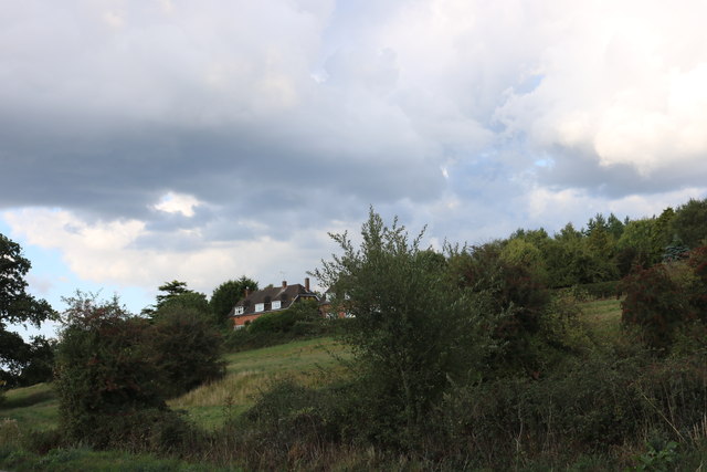
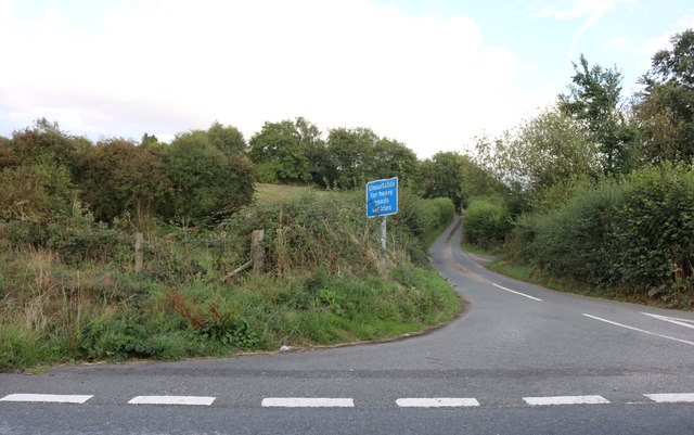
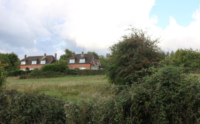
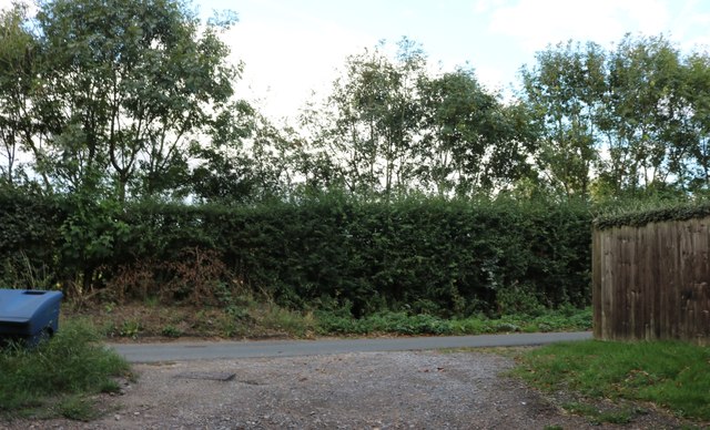
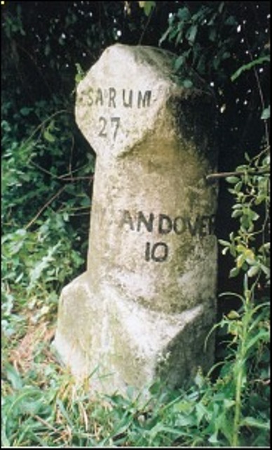
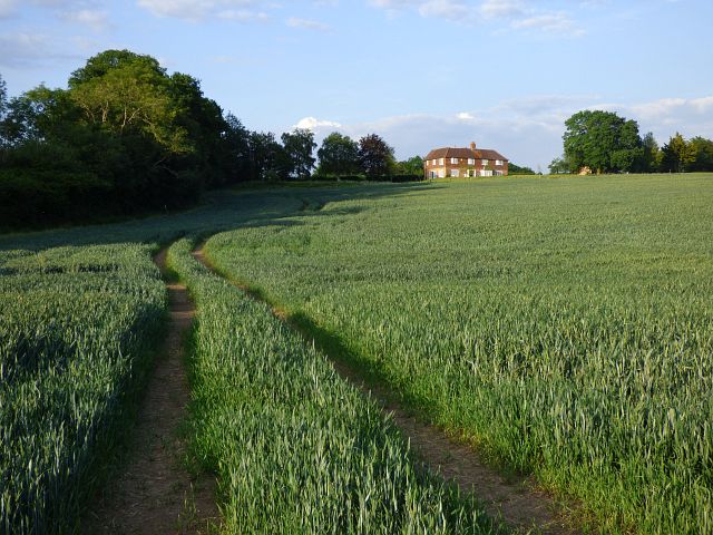
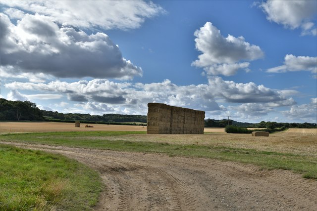
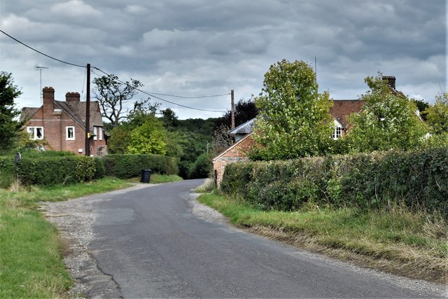
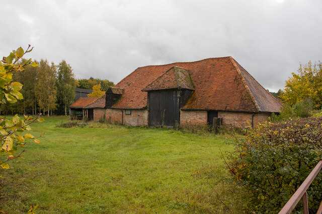
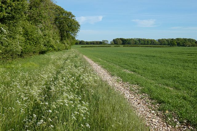
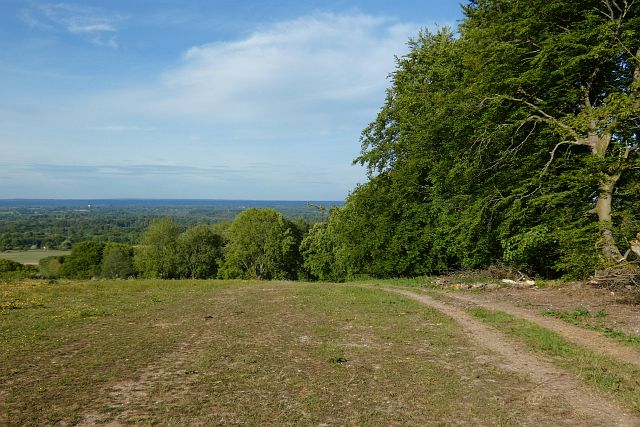
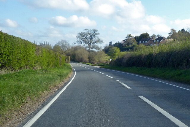
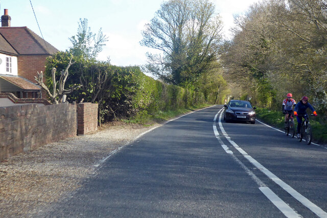
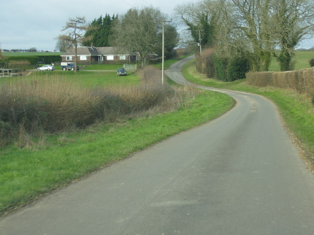
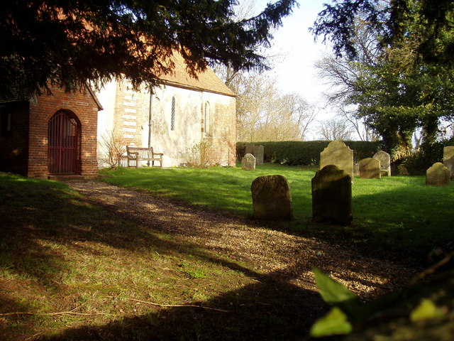
Mays Copse Images

Images are sourced within 2km of 51.337505/-1.3906002 or Grid Reference SU4260. Thanks to Geograph Open Source API. All images are credited.

Fields by the A343, Hollington Cross
Highclere Street at the junction of the A343
Houses on Highclere Street, Hollington Cross By the A343
Houses on Highclere Street, Hollington Cross
By the A343
Highclere Street, Hollington Cross
Old Milestone by the A343, Ashmansworth parish Carved stone post by the A343, in parish of ASHMANSWORTH (BASINGSTOKE AND DEANE District), half way up hill to Three Legs House, on sharp bend in broad verge under bushes and in front of hazard arrows, on West side of road. Newbury waist, erected by the Andover & Chilton Pond turnpike trust in the 18th century. 

Inscription reads:-
: NEWBURY / 5 - (6!) : SARUM / 28  : (OXFORD / 32) : : ANDOVER / 10 :
Old benchmark at base front.

Grade II listed.  
List Entry Number: 1419217 <span class="nowrap"><a title="https://historicengland.org.uk/listing/the-list/list-entry/1419217" rel="nofollow ugc noopener" href="https://historicengland.org.uk/listing/the-list/list-entry/1419217">Link</a><img style="margin-left:2px;" alt="External link" title="External link - shift click to open in new window" src="https://s1.geograph.org.uk/img/external.png" width="10" height="10"/></span>

Milestone Society National ID: HA_NEAN06.
Old Milestone by the A343, Ashmansworth parish
Carved stone post by the A343, in parish of ASHMANSWORTH (BASINGSTOKE AND DEANE District), half way up hill to Three Legs House, on sharp bend in broad verge under bushes and in front of hazard arrows, on West side of road. Newbury waist, erected by the Andover & Chilton Pond turnpike trust in the 18th century. Inscription reads:- : NEWBURY / 5 - (6!) : SARUM / 28 : (OXFORD / 32) : : ANDOVER / 10 : Old benchmark at base front. Grade II listed. List Entry Number: 1419217 LinkExternal link Milestone Society National ID: HA_NEAN06.
Old Milestone by the A343, near Highclere Farm, Highclere parish Carved stone post by the A343, in parish of HIGHCLERE (BASINGSTOKE AND DEANE District), near Highclere Farm, South of village, just before bridge, deep in the hedge, on West side of road. Newbury waist, erected by the Andover & Chilton Pond turnpike trust in the 18th century. 

Inscription reads:-
: NEWBURY / 5 : : SARUM / 29 (overpainted 27) / (OXFORD / 31) : : ANDOVER / 11 (overpainted 10) :

Grade II listed.  
List Entry Number: 1419228 <span class="nowrap"><a title="https://historicengland.org.uk/listing/the-list/list-entry/1419228" rel="nofollow ugc noopener" href="https://historicengland.org.uk/listing/the-list/list-entry/1419228">Link</a><img style="margin-left:2px;" alt="External link" title="External link - shift click to open in new window" src="https://s1.geograph.org.uk/img/external.png" width="10" height="10"/></span>

Milestone Society National ID: HA_NEAN05.
Old Milestone by the A343, near Highclere Farm, Highclere parish
Carved stone post by the A343, in parish of HIGHCLERE (BASINGSTOKE AND DEANE District), near Highclere Farm, South of village, just before bridge, deep in the hedge, on West side of road. Newbury waist, erected by the Andover & Chilton Pond turnpike trust in the 18th century. Inscription reads:- : NEWBURY / 5 : : SARUM / 29 (overpainted 27) / (OXFORD / 31) : : ANDOVER / 11 (overpainted 10) : Grade II listed. List Entry Number: 1419228 LinkExternal link Milestone Society National ID: HA_NEAN05.
Farmland, East Woodhay A crop of wheat to the west of Pill Hill.
Farmland, East Woodhay
A crop of wheat to the west of Pill Hill.
Highclere: Harvested agricultural land
Hollington Cross, Zell House Farm
Zell House Farm
Zell House Farm
Farmland, Ashmansworth Flattish arable land on top of the downs.
Farmland, Ashmansworth
Flattish arable land on top of the downs.
Farmland and woodland, East Woodhay A view over the Kennet valley from the edge of Buckhanger Copse.
Farmland and woodland, East Woodhay
A view over the Kennet valley from the edge of Buckhanger Copse.
A343 towards Newbury
Highclere From the A343 looking northeast towards Top Farm.
Highclere
From the A343 looking northeast towards Top Farm.
Wayfarer's Walk A view of the slopes of the hill used for pasture and grazing.
Wayfarer's Walk
A view of the slopes of the hill used for pasture and grazing.
Wayfarer's Walk A view of the path to the west of the road, looking more or less north west along the path.
Wayfarer's Walk
A view of the path to the west of the road, looking more or less north west along the path.
The Keepers Bungalow The Gamekeepers house stands prominently on the road from Ashmansworth to East Woodhay.
The Keepers Bungalow
The Gamekeepers house stands prominently on the road from Ashmansworth to East Woodhay.
Show me another place!

Mays Copse is located at Grid Ref: SU4260 (Lat: 51.337505, Lng: -1.3906002)

Administrative County: Hampshire

District: Basingstoke and Deane

Police Authority: Hampshire

What 3 Words

///spots.hopes.toasters. Near Highclere, Hampshire

Related Wikis

Highclere

Highclere (pronounced ) is a village and civil parish situated in the North Wessex Downs (an Area of Outstanding Natural Beauty) in the Basingstoke and...

Stargroves

Stargroves (also known as Stargrove House) is a manor house and associated estate at East Woodhay in the English county of Hampshire. The house belonged...

Woolton Hill

Woolton Hill is a village in Hampshire, England, in the civil parish of East Woodhay. The village lies approximately 4 miles (6 km) south-west of the centre...

Gainsborough Stud

Gainsborough Stud is a stud farm based in Woolton Hill, Hampshire, 3 miles (4.8 km) outside Newbury. It is owned by United Arab Emirates-based international...

Highclere Castle

Highclere Castle is a Grade I listed country house built in 1679 and largely renovated in the 1840s, with a park designed by Capability Brown in the 18th...

East Woodhay

East Woodhay is a village and civil parish in Hampshire, England. The village is approximately 5.5 miles (9 km) south-west of Newbury in Berkshire. At...

Hambledon Rural District

Hambledon Rural District was a local government district that existed in south-west Surrey in England from 1894 until 1974. Its headquarters were in Guildford...

Ashmansworth

Ashmansworth is a village and civil parish in the Basingstoke and Deane district of the English county of Hampshire. == Geography == The village is about...

Nearby Amenities

Located within 500m of 51.337505,-1.3906002
Barrier: stile
Lat/Long: 51.340387/-1.3946743
Barrier: stile
Foot: yes
Lat/Long: 51.3387367/-1.3868691
Barrier: stile
Foot: yes
Lat/Long: 51.3382729/-1.3835062
The data included in this document is from www.openstreetmap.org. The data is made available under ODbL.

Have you been to Mays Copse?

Leave your review of Mays Copse below (or comments, questions and feedback).