Captain's Gorse
Wood, Forest in Leicestershire North West Leicestershire
England
Captain's Gorse
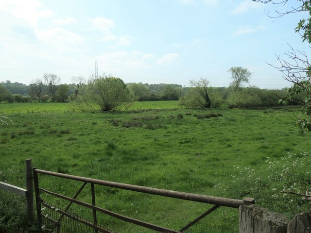
Captain's Gorse is a picturesque woodland located in Leicestershire, England. Situated near the village of Woodhouse Eaves, the forest covers an area of approximately 50 acres and is a popular destination for nature enthusiasts and hikers alike.
The woodland is characterized by its dense and diverse vegetation, with a variety of tree species including oak, beech, and birch. The forest floor is adorned with a rich carpet of wildflowers, creating a vibrant and colorful landscape during the spring and summer months.
Captain's Gorse is renowned for its tranquil atmosphere and abundant wildlife. Visitors can often spot various bird species, such as woodpeckers and tawny owls, as well as small mammals like foxes, squirrels, and rabbits. The forest also provides a habitat for a range of insects, including butterflies and dragonflies.
The woodland is crisscrossed by a network of well-maintained footpaths, making it an ideal spot for leisurely strolls and family outings. These paths lead visitors through different sections of the forest, each offering its own unique charm and scenic views.
Additionally, Captain's Gorse is a designated Site of Special Scientific Interest (SSSI) due to its ecological importance. The forest contributes to the local biodiversity and acts as a valuable habitat for numerous plant and animal species.
Overall, Captain's Gorse is a captivating woodland that offers a peaceful retreat from the hustle and bustle of everyday life. Its natural beauty, diverse flora and fauna, and accessible trails make it a must-visit destination for nature lovers in Leicestershire.
If you have any feedback on the listing, please let us know in the comments section below.
Captain's Gorse Images
Images are sourced within 2km of 52.840031/-1.3705913 or Grid Reference SK4227. Thanks to Geograph Open Source API. All images are credited.


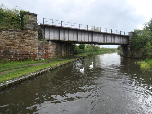
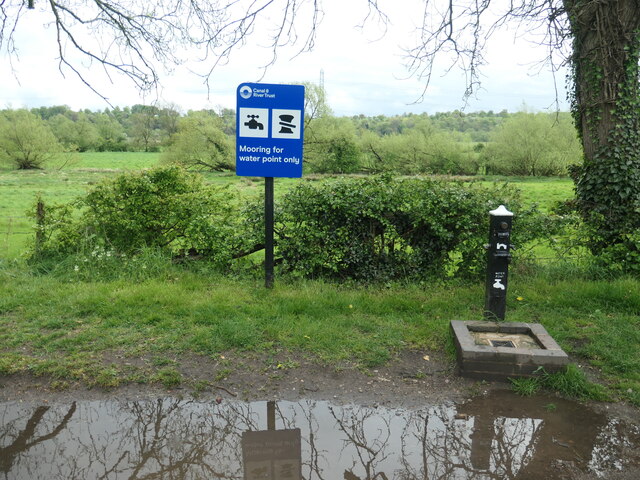
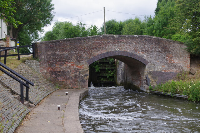
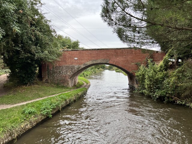
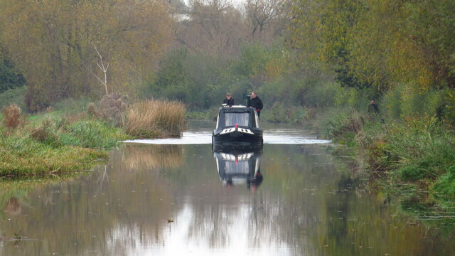
![Cow Pasture Bridge [no 7], from the east Carrying a bridleway over the Trent & Mersey canal.](https://s1.geograph.org.uk/geophotos/07/19/87/7198733_dee3077d.jpg)


Captain's Gorse is located at Grid Ref: SK4227 (Lat: 52.840031, Lng: -1.3705913)
Administrative County: Leicestershire
District: North West Leicestershire
Police Authority: Leicestershire
What 3 Words
///shells.ringside.renewals. Near Castle Donington, Leicestershire
Nearby Locations
Related Wikis

Donington Hall
Donington Hall is a mansion house set in parkland near Castle Donington village, North West Leicestershire. The Hall and Estate was purchased in April...
King's Mill, Castle Donington
King's Mill is the traditional crossing point of the River Trent between Castle Donington in Leicestershire and Weston-on-Trent in Derbyshire. The Mill...

Donington Park SSSI
Donington Park is a 32.9-hectare (81-acre) biological Site of Special Scientific Interest west of Castle Donington in Leicestershire. It is separate from...

Castle Donington Power Station
Castle Donington Power Station was a coal-fired power station situated on the River Trent near Castle Donington, Leicestershire, 5 miles (8.0 km) south...

Donington Park
Donington Park is a motorsport circuit located near Castle Donington in Leicestershire, England. The circuit business is now owned by Jonathan Palmer's...

Download Festival
Download Festival is a British-created rock festival created by Terrance Gough, held annually at the Donington Park motorsport circuit in Leicestershire...

Donington Grand Prix Collection
The Donington Grand Prix Collection, sometime known as the Donington Grand Prix Exhibition, was a museum of motor racing cars, based at the Donington Park...
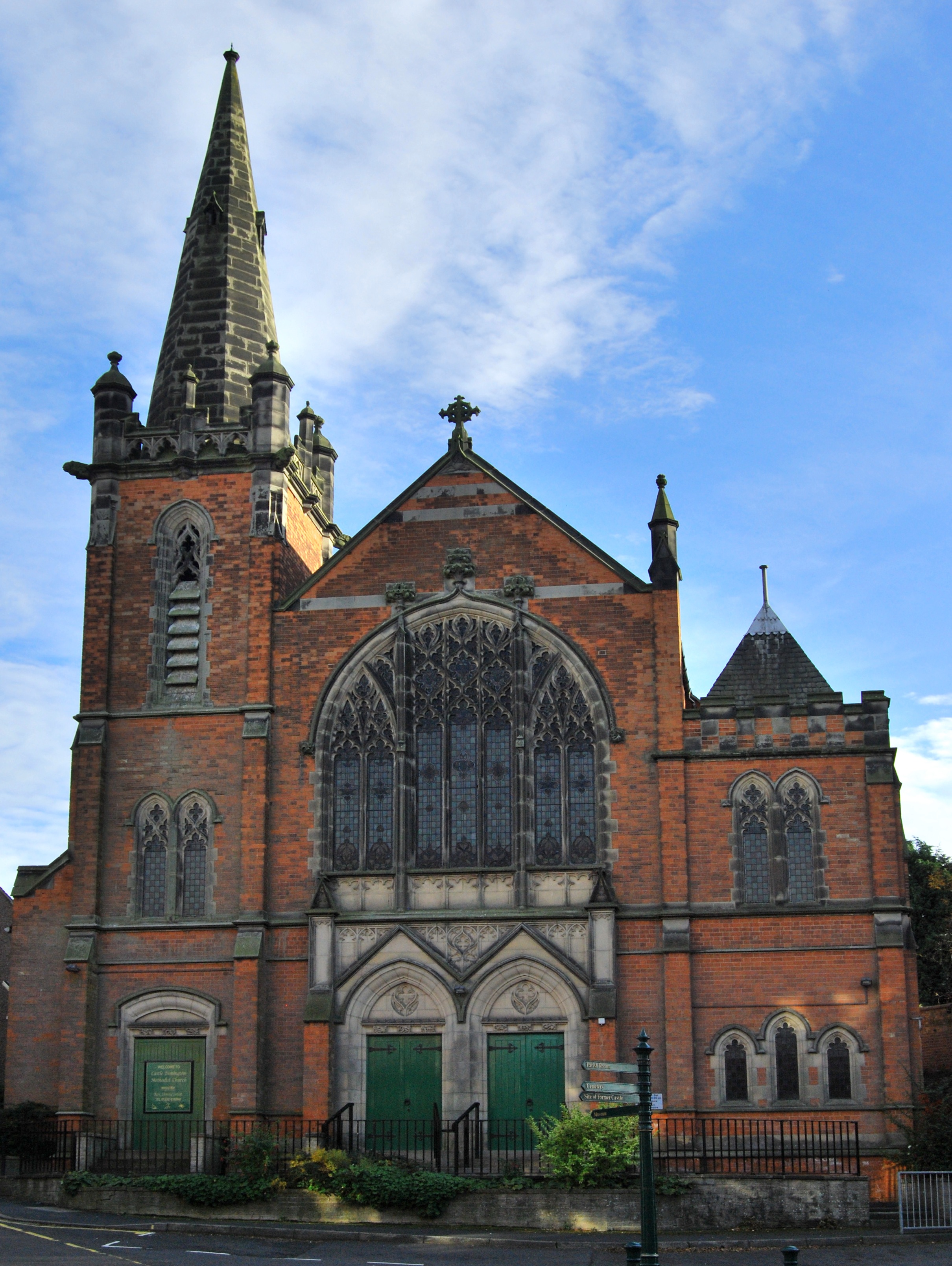
Castle Donington Methodist Church
Castle Donington Methodist Church is a Grade II listed Methodist Church in Castle Donington, Leicestershire. == History == The Methodist Church was designed...
Nearby Amenities
Located within 500m of 52.840031,-1.3705913Have you been to Captain's Gorse?
Leave your review of Captain's Gorse below (or comments, questions and feedback).