The Rookery
Wood, Forest in Yorkshire
England
The Rookery
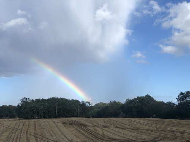
The Rookery, located in Yorkshire, is a picturesque woodland area encompassing a vast forest. Nestled amidst the rolling hills and lush greenery, it spans over a significant expanse of land, offering visitors a serene and tranquil escape from the hustle and bustle of everyday life.
The woodland is predominantly composed of towering oak, beech, and birch trees, their branches intertwining to form a dense canopy that shelters the forest floor from the elements. This creates a cool and shaded atmosphere, perfect for leisurely walks or exploring the diverse flora and fauna that call The Rookery their home.
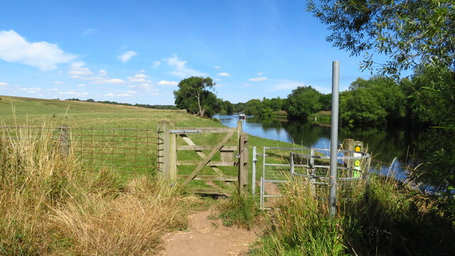
Walking trails meander through the forest, guiding visitors through the enchanting landscape. The paths are well-maintained, ensuring ease of navigation while preserving the natural beauty of the area. Along these trails, one can encounter a plethora of wildlife, from squirrels and rabbits to a variety of bird species, including the eponymous rooks that nest in the upper reaches of the trees.
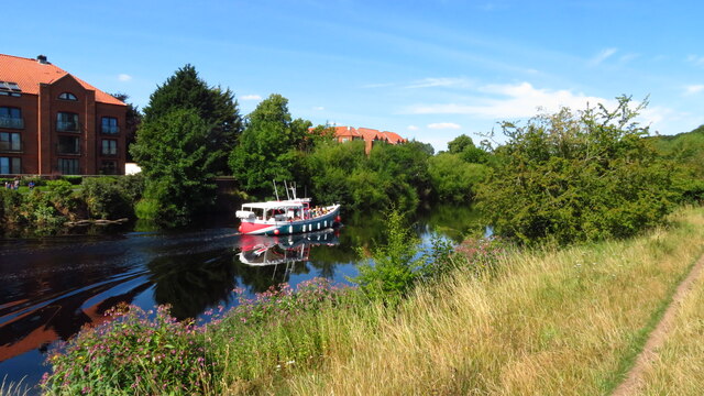
The Rookery also boasts a small, tranquil lake, with crystal-clear waters reflecting the surrounding greenery. This idyllic spot offers a perfect setting for picnics or simply enjoying the serene ambiance.
For those seeking a more immersive experience, The Rookery provides camping facilities, allowing visitors to spend the night under the starry Yorkshire sky, surrounded by the peaceful sounds of the forest.
Overall, The Rookery is a hidden gem in Yorkshire, offering visitors a chance to reconnect with nature, breathe in the fresh forest air, and revel in the beauty of one of England's most captivating woodlands.
If you have any feedback on the listing, please let us know in the comments section below.
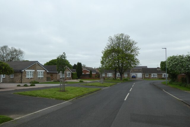
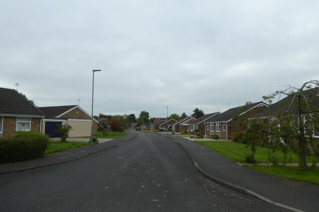
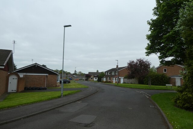
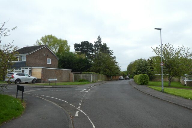
The Rookery Images
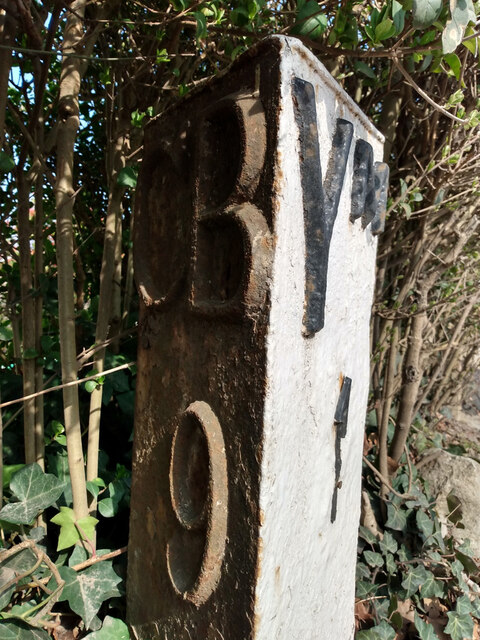
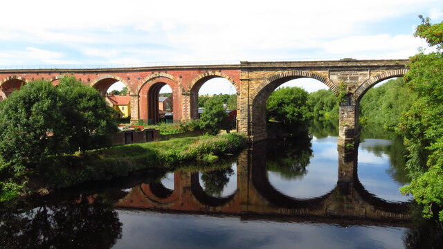
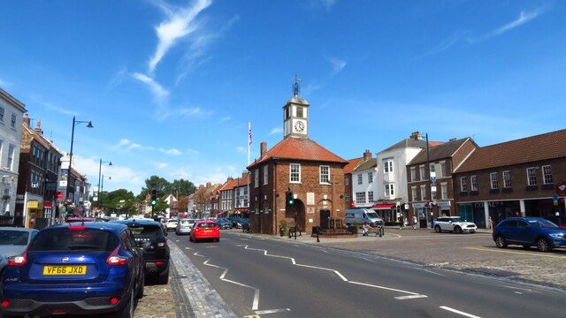
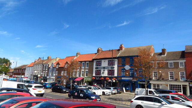
Images are sourced within 2km of 54.503083/-1.3467207 or Grid Reference NZ4212. Thanks to Geograph Open Source API. All images are credited.


The Rookery is located at Grid Ref: NZ4212 (Lat: 54.503083, Lng: -1.3467207)
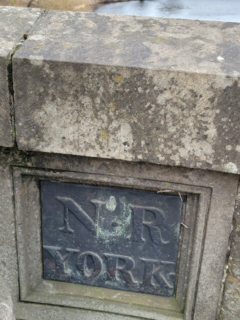
Division: North Riding
Unitary Authority: Stockton-on-Tees
Police Authority: Cleveland
What 3 Words
///fade.deciding.dispensed. Near Yarm, Co. Durham
Nearby Locations
Related Wikis

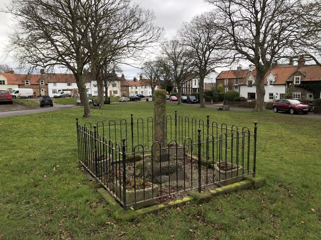
Yarm
Yarm, also referred to as Yarm-on-Tees, is a market town and civil parish in the Borough of Stockton-on-Tees, North Yorkshire, England. It is in Teesdale...

Yarm School
Yarm School is a co-educational independent day school in Yarm, North Yorkshire in the North East of England. The school accepts pupils aged 3–18 years...
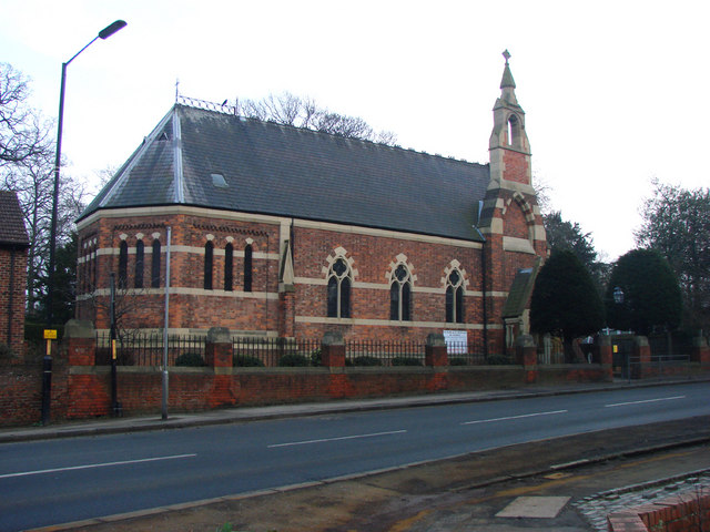
Ss Mary and Romuald, Yarm
St Mary and St Romuald is a Catholic parish church in Yarm, North Yorkshire, England. Administratively, it is part of the Diocese of Middlesbrough. �...

Yarm Methodist Church
Yarm Methodist Church is a Methodist church in the town of Yarm in the borough of Stockton-on-Tees, England. It is octagonal in shape. Built in 1763, John...
Nearby Amenities
Located within 500m of 54.503083,-1.3467207Have you been to The Rookery?
Leave your review of The Rookery below (or comments, questions and feedback).