Ackton Pond Wood
Wood, Forest in Yorkshire
England
Ackton Pond Wood

Ackton Pond Wood is a picturesque woodland located in the county of Yorkshire, England. Covering an area of approximately 20 hectares, it is a haven of natural beauty and biodiversity. The wood is situated near the village of Ackton, making it easily accessible for visitors from nearby towns and cities.
The woodland is characterized by its diverse range of tree species, including oak, beech, birch, and ash. These towering trees create a dense canopy, providing shelter and habitat for a wide variety of wildlife. Visitors to Ackton Pond Wood can expect to encounter an array of bird species, such as woodpeckers, owls, and songbirds, as well as small mammals like squirrels, foxes, and hedgehogs.
The highlight of the wood is undoubtedly the serene pond that gives the woodland its name. The pond is home to a thriving ecosystem of aquatic plants and animals, including ducks, geese, and dragonflies. It also attracts a host of other wildlife, making it a popular spot for nature enthusiasts and photographers.
Walking trails wind through the wood, offering visitors the opportunity to explore its beauty at their own pace. These trails are well-maintained and suitable for all ages and abilities, making Ackton Pond Wood a great destination for families and nature lovers alike.
The woodland is managed by a local conservation organization, ensuring its preservation and protection for future generations. Ackton Pond Wood is not only a sanctuary for wildlife but also a peaceful retreat for those seeking solace in nature's embrace.
If you have any feedback on the listing, please let us know in the comments section below.
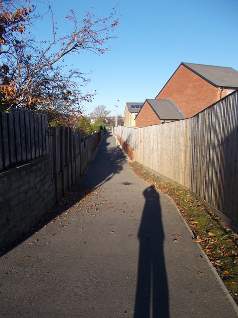
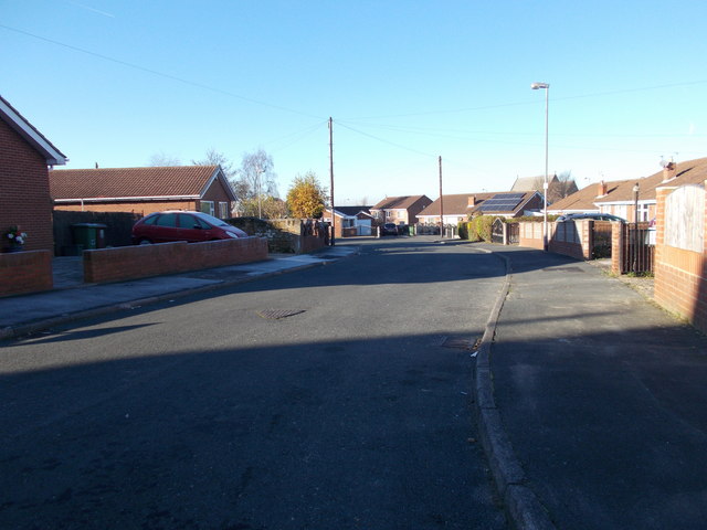
Ackton Pond Wood Images
Images are sourced within 2km of 53.689851/-1.3602034 or Grid Reference SE4221. Thanks to Geograph Open Source API. All images are credited.


Ackton Pond Wood is located at Grid Ref: SE4221 (Lat: 53.689851, Lng: -1.3602034)
Division: West Riding
Unitary Authority: Wakefield
Police Authority: West Yorkshire
What 3 Words
///angry.umpires.butternut. Near Featherstone, West Yorkshire
Nearby Locations
Related Wikis
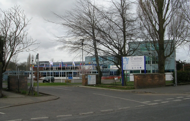
St Wilfrid's Catholic High School, North Featherstone
St Wilfrid's Catholic High School is a mixed secondary school and sixth form with academy status located in Featherstone, West Yorkshire, England. It has...

Ackton
Ackton is a hamlet in the parish of Featherstone, in the Wakefield district of West Yorkshire, England. It is near Pontefract. In 1931 the parish had...
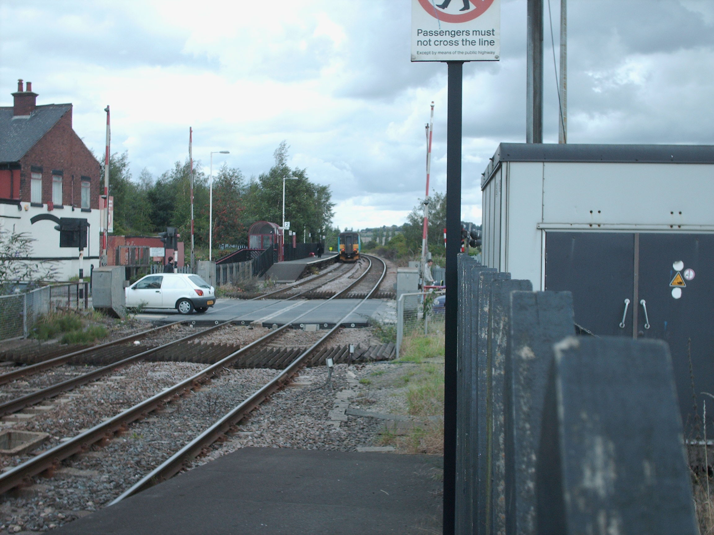
Featherstone railway station
Featherstone railway station serves the town of Featherstone in West Yorkshire, England. It lies on the Pontefract Line, operated by Northern, 6 miles...
Featherstone
Featherstone is a town and civil parish in the City of Wakefield, West Yorkshire, England, two miles south-west of Pontefract. Historically part of the...
Nearby Amenities
Located within 500m of 53.689851,-1.3602034Have you been to Ackton Pond Wood?
Leave your review of Ackton Pond Wood below (or comments, questions and feedback).