Bellington Wood

Wood, Forest in Derbyshire South Derbyshire

England

Bellington Wood

Dark clouds over Moorland House Not generating much energy on the panels at the moment.
Dark clouds over Moorland House Credit: Christine Johnstone

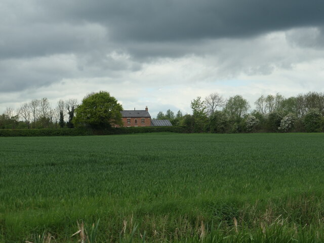
Bellington Wood is a picturesque forest located in the heart of Derbyshire, England. Covering an area of approximately 100 acres, this woodland is renowned for its stunning natural beauty and diverse range of flora and fauna.

The woodland is predominantly made up of mature broadleaf trees, including oak, beech, and ash, which create a dense canopy and provide a habitat for a variety of wildlife species. Visitors to Bellington Wood can expect to encounter a plethora of birds, such as woodpeckers, owls, and thrushes, as well as small mammals like foxes, badgers, and squirrels.

A network of well-maintained trails and footpaths wind their way through the forest, allowing visitors to explore the wood at their own pace. These paths provide an opportunity for nature enthusiasts to observe the woodland's flora up close, with wildflowers such as bluebells and primroses dotting the forest floor during the spring months.

Bellington Wood also offers a range of recreational activities for visitors to enjoy. With designated picnic areas and benches scattered throughout the forest, it is an ideal spot for a family day out or a peaceful picnic surrounded by nature.

The woodland is open to the public throughout the year, and there is no entry fee. However, visitors are encouraged to respect the natural environment and follow any signage or guidelines provided to ensure the conservation and preservation of this beautiful woodland for future generations.

If you have any feedback on the listing, please let us know in the comments section below.

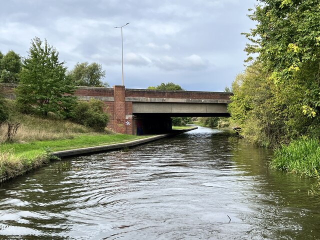
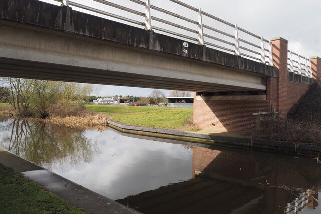
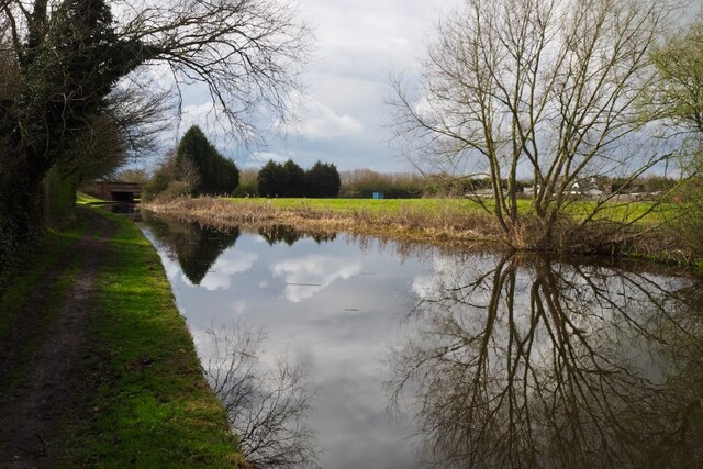
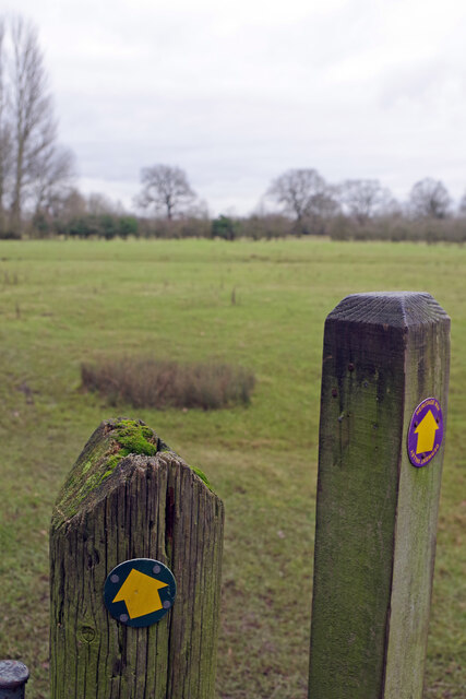
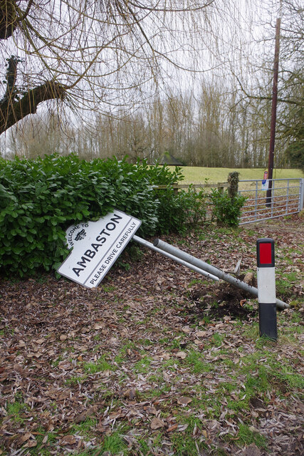
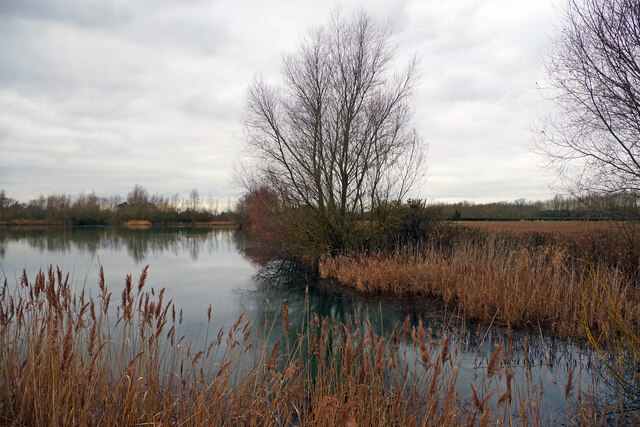
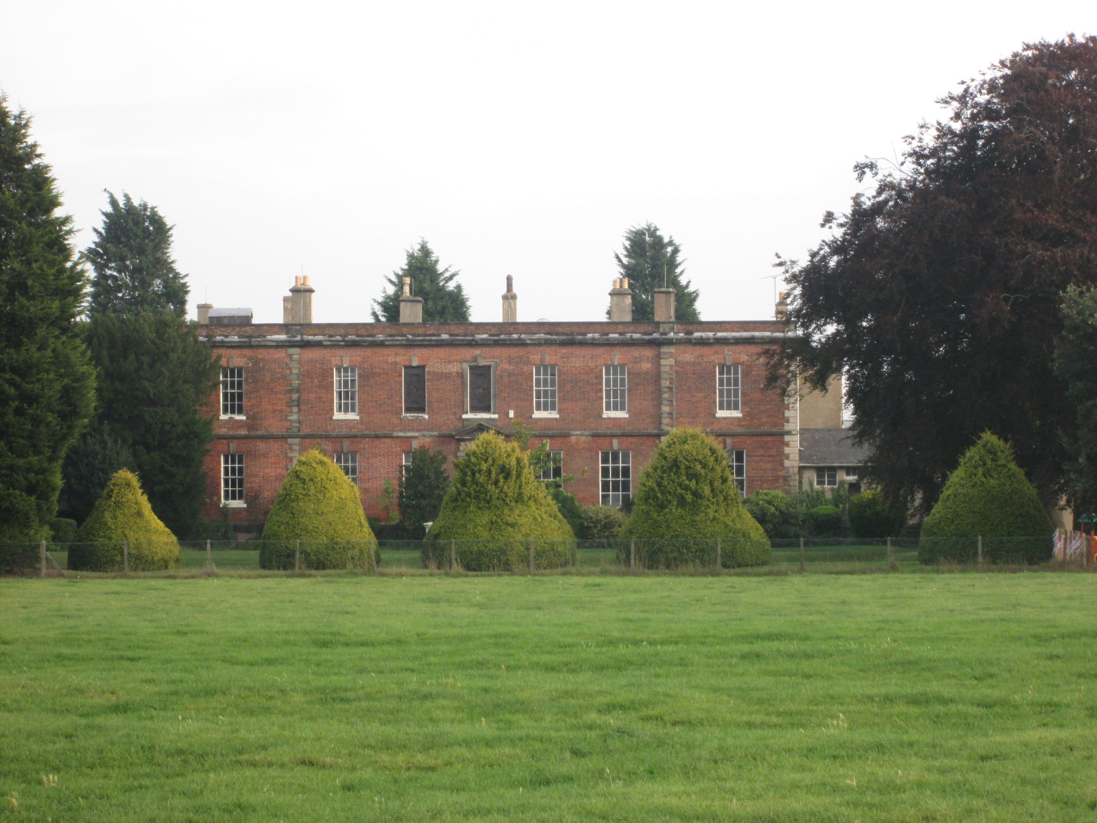
Bellington Wood Images

Images are sourced within 2km of 52.880398/-1.3730237 or Grid Reference SK4231. Thanks to Geograph Open Source API. All images are credited.

Dark clouds over Moorland House Not generating much energy on the panels at the moment.
Dark clouds over Moorland House
Not generating much energy on the panels at the moment.
Hicken's Bridge The A50 bridge over the Trent and Mersey Canal.
Hicken's Bridge
The A50 bridge over the Trent and Mersey Canal.
The Trent and Mersey Canal Near Shardlow
The Trent and Mersey Canal
Near Shardlow
Bridge 3A Trent & Mersey Canal (1997) This seems to be an expensive looking bridge for what appears to be just a farm track running across it.

The date is probably the big clue as this is the time that the nearby A50 was finished.  Presumably therefore this was needed to restore access to the farm visible behind destroyed by the new road.
Bridge 3A Trent & Mersey Canal (1997)
This seems to be an expensive looking bridge for what appears to be just a farm track running across it. The date is probably the big clue as this is the time that the nearby A50 was finished. Presumably therefore this was needed to restore access to the farm visible behind destroyed by the new road.
The Trent & Mersey Canal Hicken's Bridge carrying the A50 visible in the distance.
The Trent & Mersey Canal
Hicken's Bridge carrying the A50 visible in the distance.
Canal Milepost Shardlow 1 Mile Preston Brook 91 Miles.

Grade II listed List Entry Number:1088357 <span class="nowrap"><a title="https://historicengland.org.uk/listing/the-list/list-entry/1088357?section=official-list-entry" rel="nofollow ugc noopener" href="https://historicengland.org.uk/listing/the-list/list-entry/1088357?section=official-list-entry">Link</a><img style="margin-left:2px;" alt="External link" title="External link - shift click to open in new window" src="https://s1.geograph.org.uk/img/external.png" width="10" height="10"/></span>

Originally at SK429 298.

See also <a href="https://www.geograph.org.uk/photo/6897993">SK4329 : A canal milepost</a> <a href="https://www.geograph.org.uk/photo/5700633">SK4329 : Shardlow 1 mile</a>.
Canal Milepost
Shardlow 1 Mile Preston Brook 91 Miles. Grade II listed List Entry Number:1088357 LinkExternal link Originally at SK429 298. See also SK4329 : A canal milepost SK4329 : Shardlow 1 mile.
Stream at Ambaston This sluggish stream drains the lake at Elvaston Castle into the River Derwent.
Stream at Ambaston
This sluggish stream drains the lake at Elvaston Castle into the River Derwent.
Footpath to Ambaston The markers on these posts appear to point in slightly different directions but there is only one path. The one on the right identifies the route as the Derwent Valley Heritage Way.
Footpath to Ambaston
The markers on these posts appear to point in slightly different directions but there is only one path. The one on the right identifies the route as the Derwent Valley Heritage Way.
Main Street, Ambaston There is not much to Ambaston, a hamlet in the parish of Elvaston, although it did get a mention in the Domesday Book. Essentially it consists of a few houses stretched along a dead end road from Shardlow close to the River Derwent (from which it is protected by a flood bank).
Main Street, Ambaston
There is not much to Ambaston, a hamlet in the parish of Elvaston, although it did get a mention in the Domesday Book. Essentially it consists of a few houses stretched along a dead end road from Shardlow close to the River Derwent (from which it is protected by a flood bank).
Dead end path, Ambaston 'Dead end path. No through route' the sign says and, indeed, the poorly defined footpath wanders along for about a mile beside the River Derwent before petering out opposite Draycott.
Dead end path, Ambaston
'Dead end path. No through route' the sign says and, indeed, the poorly defined footpath wanders along for about a mile beside the River Derwent before petering out opposite Draycott.
River Derwent, Ambaston The River Derwent here is in its lower reaches, a few miles before its confluence with the River Trent, where it flows through a broad flat valley and winds round extravagant meanders.
River Derwent, Ambaston
The River Derwent here is in its lower reaches, a few miles before its confluence with the River Trent, where it flows through a broad flat valley and winds round extravagant meanders.
Ambaston - broken sign Oh dear. 'Welcome to Ambaston. Please drive carefully' says the sign but it is somewhat hors de combat. Perhaps somebody failed to drive carefully or maybe there is some other reason for this calamity.
Ambaston - broken sign
Oh dear. 'Welcome to Ambaston. Please drive carefully' says the sign but it is somewhat hors de combat. Perhaps somebody failed to drive carefully or maybe there is some other reason for this calamity.
Former gravel pit, Ambaston This large pond is seen here in the fading light of a winter afternoon. Derbyshire County Council has granted permission for further quarrying in this area but no work has started yet.
Former gravel pit, Ambaston
This large pond is seen here in the fading light of a winter afternoon. Derbyshire County Council has granted permission for further quarrying in this area but no work has started yet.
Bridleway to Bellington Farm The bridleway winds around flooded gravel pits, tightly fenced in to ensure that there is no easy access to the water.
Bridleway to Bellington Farm
The bridleway winds around flooded gravel pits, tightly fenced in to ensure that there is no easy access to the water.
London Road, Shardlow At one time this was a stretch of the A6 but Shardlow has now been by-passed and it has been downgraded to the B5010. The 'London Road' name reflects its old importance. The bus stops here are served by the Skylink Derby service which runs between Derby and Leicester via East Midlands Airport. It runs on a 24-hours 7 days a week basis meaning that Shardlow and the other villages on the route have an astonishingly good bus service for a rural area.
London Road, Shardlow
At one time this was a stretch of the A6 but Shardlow has now been by-passed and it has been downgraded to the B5010. The 'London Road' name reflects its old importance. The bus stops here are served by the Skylink Derby service which runs between Derby and Leicester via East Midlands Airport. It runs on a 24-hours 7 days a week basis meaning that Shardlow and the other villages on the route have an astonishingly good bus service for a rural area.
Ambaston Lane Ambaston Lane connects Shardlow and Ambaston. Note the very deep ditch that runs alongside.
Ambaston Lane
Ambaston Lane connects Shardlow and Ambaston. Note the very deep ditch that runs alongside.
Ambaston Lane Ambaston Lane takes a turn to the right on its way from Ambaston to Shardlow. Shardlow village can be seen in the distance.
Ambaston Lane
Ambaston Lane takes a turn to the right on its way from Ambaston to Shardlow. Shardlow village can be seen in the distance.
The Dog & Duck Marston's house in Shardlow.

It has a Grade II listing List Entry Number:1334653 <span class="nowrap"><a title="https://historicengland.org.uk/listing/the-list/list-entry/1334653?section=official-list-entry" rel="nofollow ugc noopener" href="https://historicengland.org.uk/listing/the-list/list-entry/1334653?section=official-list-entry">Link</a><img style="margin-left:2px;" alt="External link" title="External link - shift click to open in new window" src="https://s1.geograph.org.uk/img/external.png" width="10" height="10"/></span>
The Dog & Duck
Marston's house in Shardlow. It has a Grade II listing List Entry Number:1334653 LinkExternal link
Show me another place!

Bellington Wood is located at Grid Ref: SK4231 (Lat: 52.880398, Lng: -1.3730237)

Administrative County: Derbyshire

District: South Derbyshire

Police Authority: Derbyshire

What 3 Words

///case.stoppage.thigh. Near Aston-on-Trent, Derbyshire

Related Wikis

South East Derbyshire Rural District

South East Derbyshire was a rural district in Derbyshire, England from 1894 to 1974. It covered an area to the south-east of Derby. It was formed as Shardlow...

Derby South services

The Derby South services are two service stations run by Welcome Break on either side of the A50 road. The services are located in South Derbyshire, near...

Elvaston, Derbyshire

Elvaston is a small village and civil parish in Derbyshire, England. The parish also includes two hamlets, Ambaston and Thulston, and a modern housing...

Shardlow

Shardlow is a village in Derbyshire, England about 6 miles (9.7 km) southeast of Derby and 11 miles (18 km) southwest of Nottingham. Part of the civil...

Shardlow Hall, Derbyshire

Shardlow Hall is a 17th-century former country house at Shardlow, Derbyshire now in use as commercial offices. It is a Grade II* listed building which...

St James' Church, Shardlow

St James’ Church, Shardlow is a Grade II listed parish church in the Church of England in Shardlow, Derbyshire. == History == The foundation stone was...

Shardlow Hall (school)

Shardlow Hall was a school in Shardlow, a village seven miles south of Derby in the English Midlands. It was founded by B.O.Corbett, who had played football...

Elvaston Castle

Elvaston Castle is a stately home in Elvaston, Derbyshire, England. The Gothic Revival castle and surrounding parkland is run and owned by Derbyshire County...

Nearby Amenities

Located within 500m of 52.880398,-1.3730237
Power: pole
Lat/Long: 52.8835695/-1.3770944
Power: pole
Lat/Long: 52.88305/-1.3759679
Power: pole
Lat/Long: 52.8824851/-1.3747153
Power: pole
Lat/Long: 52.8820546/-1.37381
Location Transition: yes
Power: pole
Lat/Long: 52.881709/-1.3729671
Location Transition: yes
Power: pole
Lat/Long: 52.8816357/-1.3729604
Location Transition: yes
Power: pole
Lat/Long: 52.8815107/-1.3701394
Location Transition: yes
Power: pole
Lat/Long: 52.8814897/-1.3703004
Power: pole
Lat/Long: 52.8809555/-1.3699731
Power: pole
Lat/Long: 52.8804634/-1.3697639
Power: pole
Lat/Long: 52.8795262/-1.3700724
Power: pole
Lat/Long: 52.8789969/-1.3702655
Power: pole
Lat/Long: 52.8781341/-1.3705766
Power: pole
Lat/Long: 52.877171/-1.3709039
Location Transition: yes
Power: pole
Lat/Long: 52.8761969/-1.3719425
Location Transition: yes
Power: pole
Lat/Long: 52.8762058/-1.3718446
The data included in this document is from www.openstreetmap.org. The data is made available under ODbL.

Have you been to Bellington Wood?

Leave your review of Bellington Wood below (or comments, questions and feedback).