Black Wood
Wood, Forest in Durham
England
Black Wood
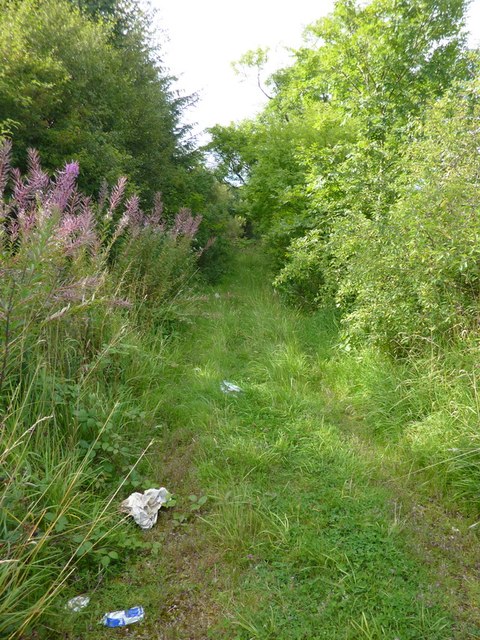
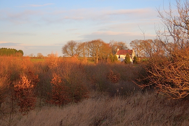
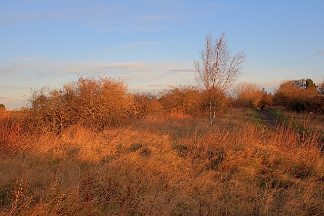
Black Wood, located in Durham, England, is a dense forest known for its rich biodiversity and scenic beauty. This ancient woodland covers an area of approximately 200 acres and is an important ecological site in the region. The forest is predominantly composed of oak and ash trees, with a diverse understory of ferns, mosses, and wildflowers.
Black Wood has a long history dating back several centuries, and it has been carefully preserved and managed by local authorities and conservation organizations. The forest serves as a habitat for a wide range of wildlife, including various bird species, mammals such as deer and foxes, and a plethora of insects and invertebrates.
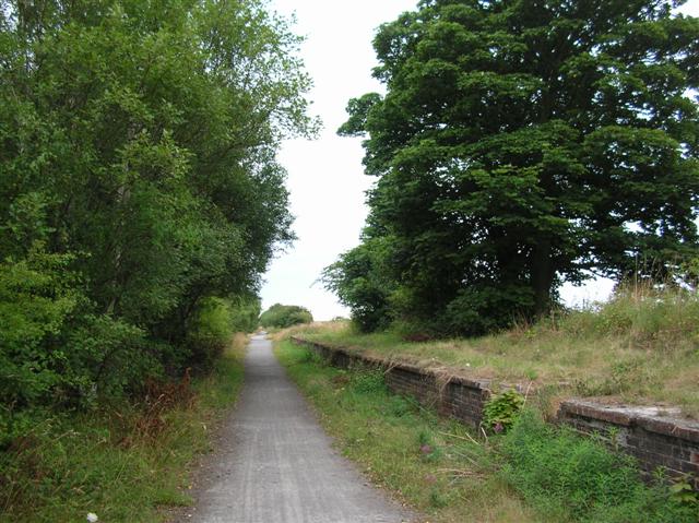
The woodland offers numerous walking trails and paths, allowing visitors to explore its enchanting beauty. As one ventures deeper into the forest, they are greeted with a peaceful ambiance, often accompanied by the soothing sound of rustling leaves and birdsong. It is a popular destination for nature enthusiasts, hikers, and birdwatchers who come to observe the diverse avian population that thrives within its boundaries.
Black Wood is not only cherished for its natural beauty but also for its historical and cultural significance. It has been a source of inspiration for artists, writers, and poets, who have captured its mystique in their works. Moreover, the forest has been used for recreational activities such as camping, picnicking, and educational programs for schools and nature enthusiasts.
Overall, Black Wood, Durham, is a remarkable woodland that showcases the beauty and importance of preserving natural habitats. It provides a tranquil escape from the hustle and bustle of urban life and offers a chance to reconnect with nature in all its glory.
If you have any feedback on the listing, please let us know in the comments section below.
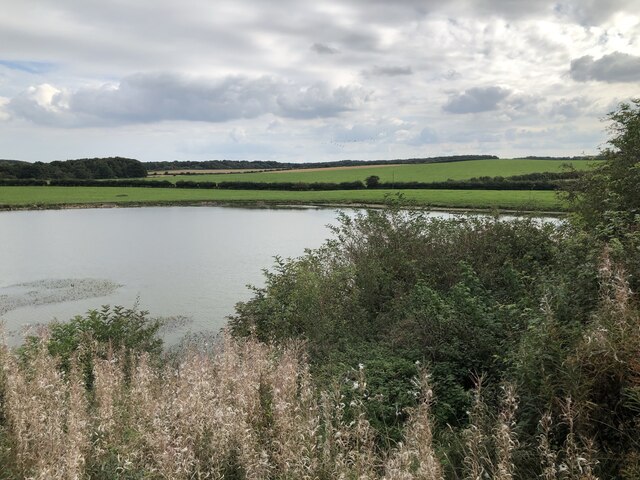
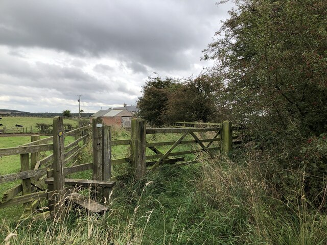
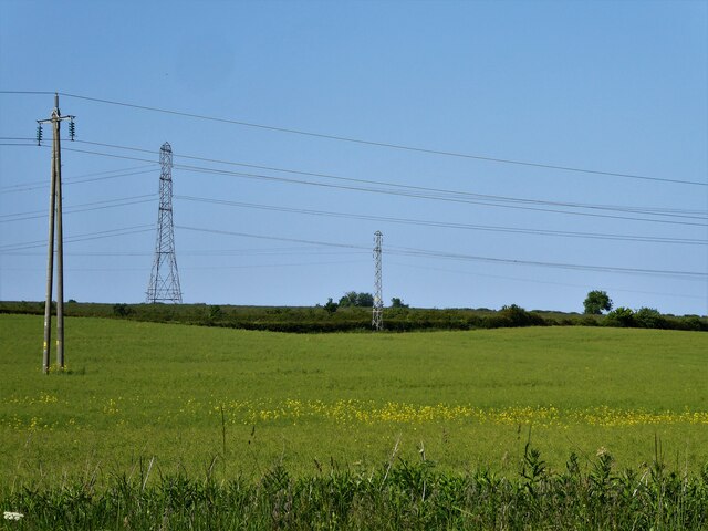
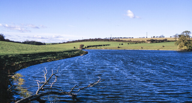
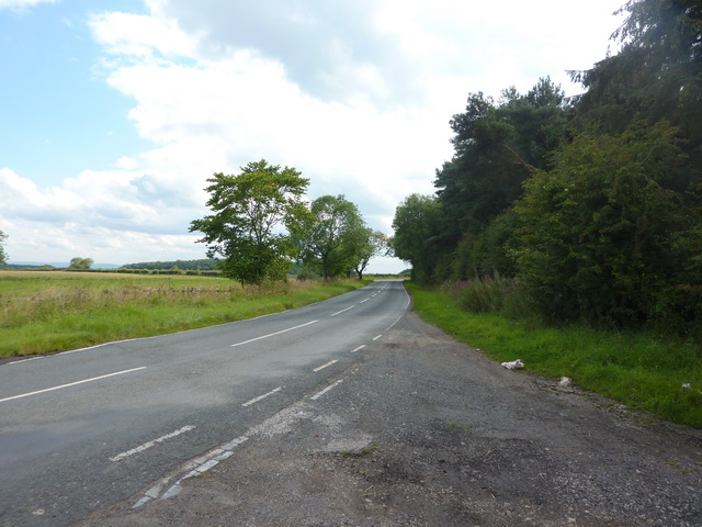
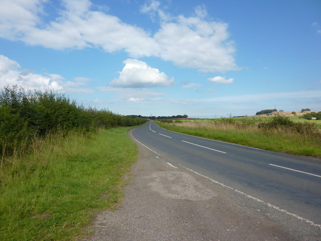
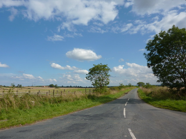
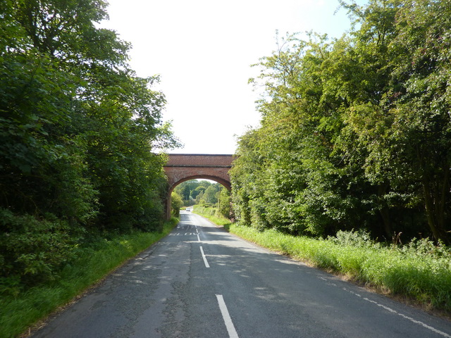
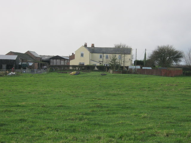
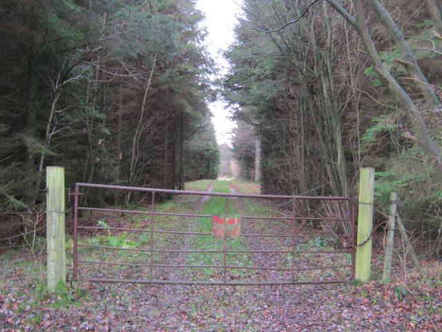
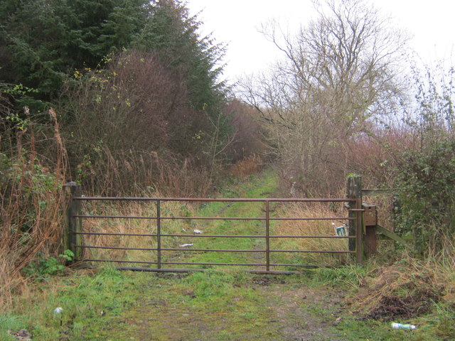
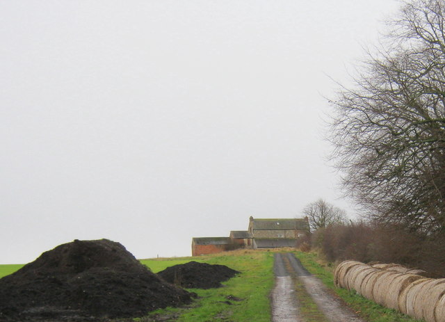
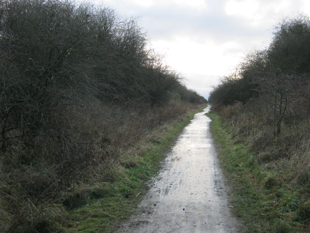
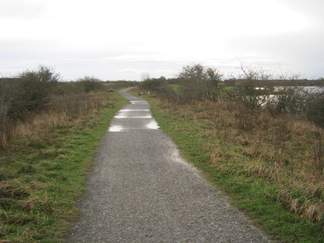
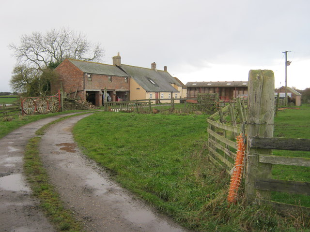
Black Wood Images
Images are sourced within 2km of 54.690019/-1.3463601 or Grid Reference NZ4232. Thanks to Geograph Open Source API. All images are credited.
Black Wood is located at Grid Ref: NZ4232 (Lat: 54.690019, Lng: -1.3463601)
Unitary Authority: County Durham
Police Authority: Durham
What 3 Words
///dreamer.hotels.songbirds. Near Elwick, Co. Durham
Nearby Locations
Related Wikis

Pike Whin Bog
Pike Whin Bog is a Site of Special Scientific Interest in the Easington district of east County Durham, England. It is situated just east of Hurworth Burn...
Hurworth Burn railway station
Hurworth Burn railway station was a railway station on the Castle Eden branch of the North Eastern Railway (NER) from 1880 to 1931. It was located between...
Sheraton, County Durham
Sheraton is a village in County Durham in England. It is situated a few miles to the north-west of Hartlepool. The A19 road bisects the village. In medieval...

Embleton, County Durham
Embleton is a hamlet and former civil parish, now in the parish of Sedgefield, in the County Durham district, in the ceremonial county of Durham, in England...

Hutton Henry
Hutton Henry is a village in the civil parish of Hutton Henry and Station Town, in County Durham, England, near Peterlee, Castle Eden and Wingate. The...

Elwick, County Durham
Elwick is a village and civil parish in the borough of Hartlepool in County Durham, England. It is situated near the A19 road to the west of Hartlepool...
Station Town
Station Town is a village in the civil parish of Hutton Henry and Station Town, in County Durham, England. It is situated to the south of Wingate, west...
Hart Bog
Hart Bog (grid reference NZ452354) is a 1.79 hectare biological Site of Special Scientific Interest in County Durham, England notified in 1968. SSSIs are...
Nearby Amenities
Located within 500m of 54.690019,-1.3463601Have you been to Black Wood?
Leave your review of Black Wood below (or comments, questions and feedback).