Keeper's Covert
Wood, Forest in Oxfordshire Cherwell
England
Keeper's Covert

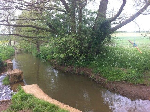
Keeper's Covert is a picturesque woodland located in Oxfordshire, England. Situated in the heart of the county, this enchanting forest covers an area of approximately 50 acres, offering visitors a serene escape from the bustling city life. The forest is primarily composed of a diverse range of deciduous trees, including oak, beech, and birch, creating a beautiful tapestry of colors throughout the seasons.
The woodland is a haven for nature enthusiasts, providing a habitat for various species of birds, mammals, and insects. Birdwatchers can spot a wide array of avian species, such as woodpeckers, nuthatches, and tawny owls. The forest's tranquility also attracts small mammals like squirrels, foxes, and hedgehogs.
Keeper's Covert provides ample opportunities for outdoor activities and exploration. Visitors can follow the well-maintained footpaths that wind through the forest, allowing them to immerse themselves in the natural beauty of the surroundings. The forest is also home to a network of cycling trails, catering to both beginners and experienced riders.
For those seeking a peaceful retreat, Keeper's Covert offers several designated picnic areas, where visitors can enjoy a leisurely lunch amidst the sounds of nature. Additionally, there are benches scattered throughout the woodland, providing the perfect spot for contemplation or simply taking in the breathtaking views.
Overall, Keeper's Covert is a hidden gem in Oxfordshire, offering a sanctuary for both wildlife and humans alike. Its stunning scenery, diverse flora and fauna, and range of recreational activities make it a must-visit destination for nature lovers and outdoor enthusiasts.
If you have any feedback on the listing, please let us know in the comments section below.
Keeper's Covert Images
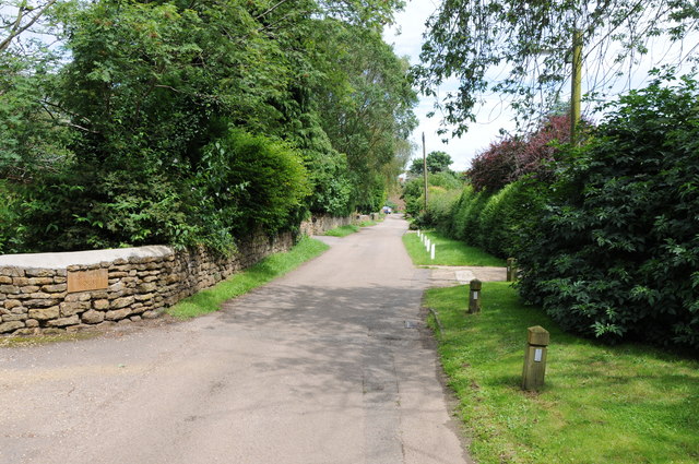
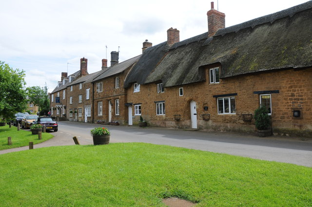
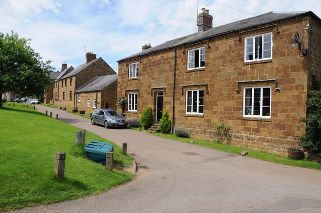
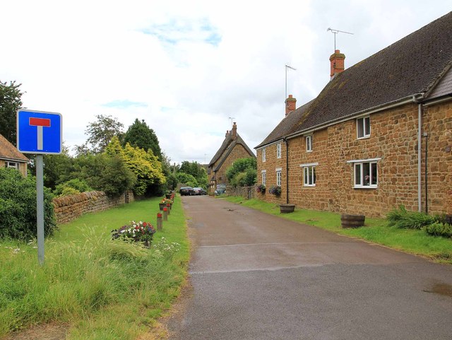
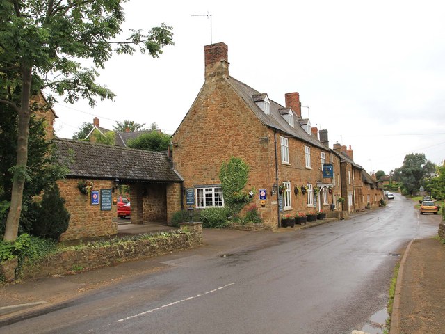
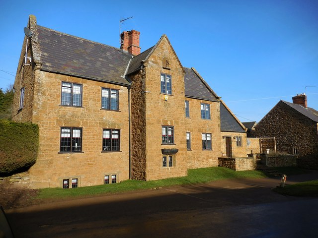
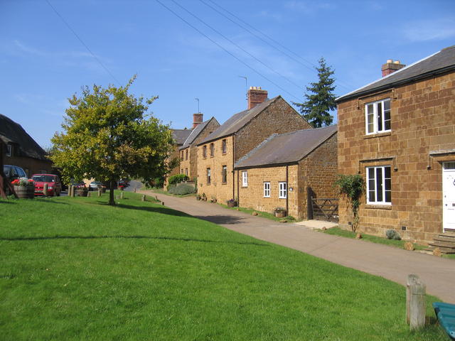
Images are sourced within 2km of 52.064733/-1.3864742 or Grid Reference SP4240. Thanks to Geograph Open Source API. All images are credited.


Keeper's Covert is located at Grid Ref: SP4240 (Lat: 52.064733, Lng: -1.3864742)
Administrative County: Oxfordshire
District: Cherwell
Police Authority: Thames Valley
What 3 Words
///clocked.hopefully.nurture. Near Banbury, Oxfordshire
Nearby Locations
Related Wikis
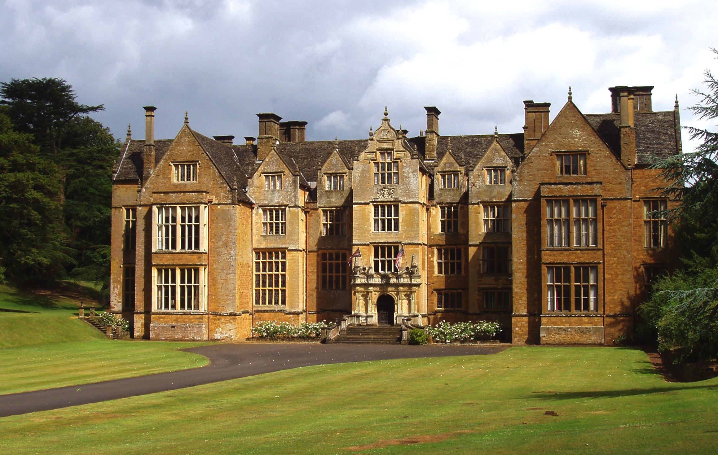
Wroxton Abbey
Wroxton Abbey is a Jacobean house in Oxfordshire, with a 1727 garden partly converted to the serpentine style between 1731 and 1751. It is 2.5 miles (4...

Oxfordshire Ironstone Railway
The Oxfordshire Ironstone Railway was a standard-gauge industrial railway that served an ironstone quarry near the village of Wroxton in Oxfordshire....

North Newington
North Newington is a village and civil parish in northern Oxfordshire, England, about 2 miles (3 km) west of Banbury. The 2011 census recorded the parish...

Drayton, Cherwell
Drayton is a village and civil parish in the valley of the Sor Brook in Oxfordshire, about 2 miles (3 km) northwest of Banbury. The 2011 Census recorded...
Nearby Amenities
Located within 500m of 52.064733,-1.3864742Have you been to Keeper's Covert?
Leave your review of Keeper's Covert below (or comments, questions and feedback).