Ashtree Plantation

Wood, Forest in Berkshire

England

Ashtree Plantation

Benham Marsh Lock Area This house is situated in the north western section of the square. The picture was taken from the bridge across the canal looking south west.
Benham Marsh Lock Area Credit: Pam Brophy

Ashtree Plantation, located in Berkshire, England, is a sprawling woodland area characterized by its picturesque beauty and rich biodiversity. Encompassing an area of approximately 500 acres, the plantation is known for its dense and ancient woodlands, making it a sought-after destination for nature enthusiasts and hikers alike.

The plantation boasts a diverse range of tree species, with the most notable being the majestic ash tree, which dominates the landscape and lends its name to the area. These towering trees, some of which are several hundred years old, create a stunning canopy that offers shade and serenity to visitors.

The woodland is home to a variety of wildlife, making it a haven for nature lovers. Birdwatchers can spot a plethora of avian species, including woodpeckers, owls, and various songbirds. Additionally, the plantation is inhabited by mammals such as deer, foxes, and squirrels, providing a glimpse into the region's thriving ecosystem.

Trails and pathways meander through Ashtree Plantation, allowing visitors to explore the area's natural beauty at their leisure. These paths cater to different levels of difficulty, accommodating both casual strollers and avid hikers. Along the way, visitors can encounter enchanting clearings, babbling brooks, and hidden glens, adding to the plantation's allure.

Ashtree Plantation is a popular destination for outdoor activities, including picnicking, photography, and nature walks. The serene atmosphere and stunning vistas make it an ideal spot for relaxation and contemplation. Its close proximity to nearby villages and towns also makes it easily accessible, attracting both locals and tourists who are seeking a tranquil escape from bustling city life.

In summary, Ashtree Plantation in Berkshire is a breathtaking woodland area that showcases the beauty of nature. With its ancient ash trees, diverse wildlife, and scenic trails, it offers a serene and captivating experience to all who visit.

If you have any feedback on the listing, please let us know in the comments section below.

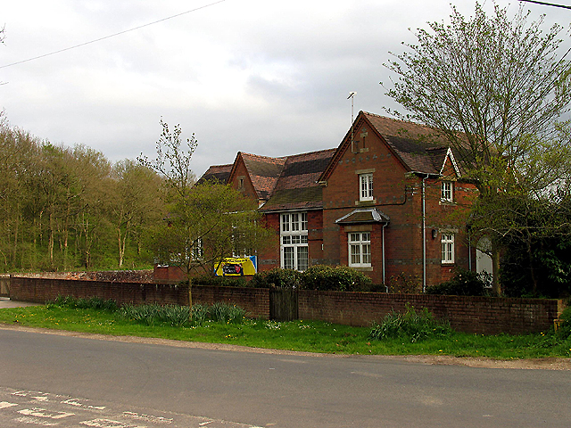
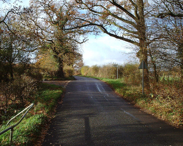
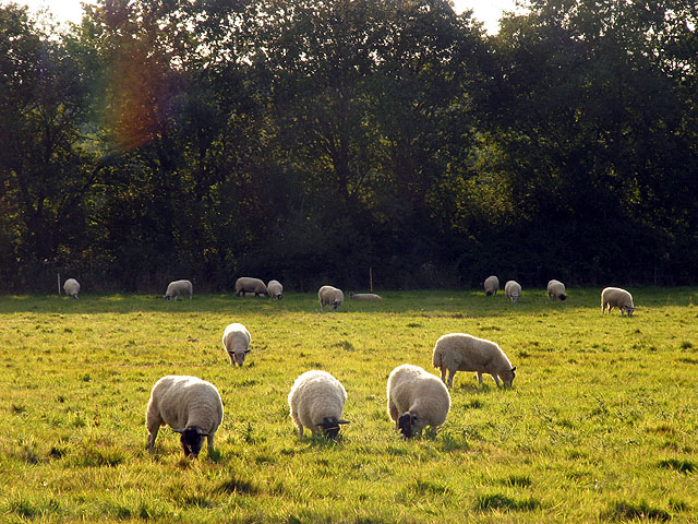
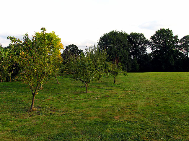
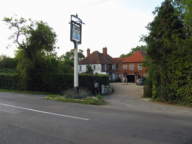
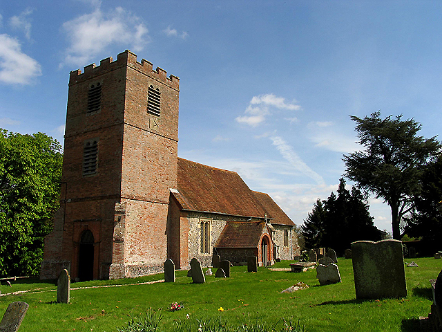
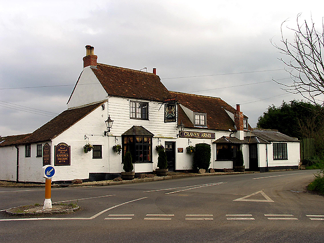
Ashtree Plantation Images

Images are sourced within 2km of 51.38525/-1.3956571 or Grid Reference SU4265. Thanks to Geograph Open Source API. All images are credited.

Benham Marsh Lock Area This house is situated in the north western section of the square. The picture was taken from the bridge across the canal looking south west.
Benham Marsh Lock Area
This house is situated in the north western section of the square. The picture was taken from the bridge across the canal looking south west.
St Mary's Church at Hamstead Marshall (Benham Marsh) The church is located in the north eastern section of the grid square, just inside the grid line. The picture was taken more or less from the east side of the building. The church is NE of the village centre.
St Mary's Church at Hamstead Marshall (Benham Marsh)
The church is located in the north eastern section of the grid square, just inside the grid line. The picture was taken more or less from the east side of the building. The church is NE of the village centre.
Masons Farm This view of the farm situated in the north western section of the grid square was taken from the footpath to the west of the building looking north east or so.
Masons Farm
This view of the farm situated in the north western section of the grid square was taken from the footpath to the west of the building looking north east or so.
White Hart Inn Situated slightly south of the centre of the grid square, this pub is near a research centre which could not be accessed for a photograph. The picture was taken from the south east looking north west along the road.
White Hart Inn
Situated slightly south of the centre of the grid square, this pub is near a research centre which could not be accessed for a photograph. The picture was taken from the south east looking north west along the road.
Craven Arms near Crockham Heath The pub situated at the intersection is to be found in the north eastern section of the grid square.
Craven Arms near Crockham Heath
The pub situated at the intersection is to be found in the north eastern section of the grid square.
Enborne C of E School The school is situated just north of the centre of the grid square at the intersection. The picture was taken somewhat south east side of the school, looking north west.
Enborne C of E School
The school is situated just north of the centre of the grid square at the intersection. The picture was taken somewhat south east side of the school, looking north west.
Canal bridge at Marsh Benham View West towards road bridge over canal at Marsh Benham.
Canal bridge at Marsh Benham
View West towards road bridge over canal at Marsh Benham.
Turning for Boames lane off Skinners Green Lane Turning for Boames lane off Skinners Green Lane
Turning for Boames lane off Skinners Green Lane
Barn near Hamstead Marshall This barn in the southern section of the square, lies on the north side of the road in the south western section of the square. The square being mostly farmland.
Barn near Hamstead Marshall
This barn in the southern section of the square, lies on the north side of the road in the south western section of the square. The square being mostly farmland.
Ashtree Plantation : Hamstead Marshall Area A view of the track down the side of Ashtree Plantation and the edge of the plantation, in the south western section of the square.
Ashtree Plantation : Hamstead Marshall Area
A view of the track down the side of Ashtree Plantation and the edge of the plantation, in the south western section of the square.
St Michael's Church: Enborne This is a very old church (lost the exact date) and is situated in the north eastern section of the square. The square is mostly farming but also contains the village of Enborne.
St Michael's Church: Enborne
This is a very old church (lost the exact date) and is situated in the north eastern section of the square. The square is mostly farming but also contains the village of Enborne.
Footpath and Entrance to Hamstead Park This footpath and entrance to Hamstead Park is in the north eastern section of the square.
Footpath and Entrance to Hamstead Park
This footpath and entrance to Hamstead Park is in the north eastern section of the square.
Pasture near Benham Marsh This square is mostly pasture/farmland. This section is west of the minor road in the eastern half of the square. The picture was taken from the roadside, looking west towards Mayhouse Gullies and the nearest edge of Briffs Copse.
Pasture near Benham Marsh
This square is mostly pasture/farmland. This section is west of the minor road in the eastern half of the square. The picture was taken from the roadside, looking west towards Mayhouse Gullies and the nearest edge of Briffs Copse.
Farmland near Holtwood This farmland is east of the minor road, in a square that is mostly farmland.
Farmland near Holtwood
This farmland is east of the minor road, in a square that is mostly farmland.
Gore End: Methodist Chapel/Conversion This chapel has "converted" to organ building..The square is largely farmland but also contains the village of Gore End. This is the intersection of Gore End Road and the road to Ball Hill.
Gore End: Methodist Chapel/Conversion
This chapel has "converted" to organ building..The square is largely farmland but also contains the village of Gore End. This is the intersection of Gore End Road and the road to Ball Hill.
Orchard at Ball Hill This square although mostly farmland also contains the village of Ball Hill. This orchard lies immediately south of the minor road in the southern half of the square.
Orchard at Ball Hill
This square although mostly farmland also contains the village of Ball Hill. This orchard lies immediately south of the minor road in the southern half of the square.
Main Road through Ball Hill This is the main road through Ball Hill, taken from the south side looking towards the Furze Inn, marked as PH on the 1:50 000 map. It is an integral part of the village of Ball Hill.
Main Road through Ball Hill
This is the main road through Ball Hill, taken from the south side looking towards the Furze Inn, marked as PH on the 1:50 000 map. It is an integral part of the village of Ball Hill.
Farmland near Kintbury This farmland lies to the north of the public footpath that runs along Milkhouse Copse. The square is almost all farmland, with some woodland.
Farmland near Kintbury
This farmland lies to the north of the public footpath that runs along Milkhouse Copse. The square is almost all farmland, with some woodland.
Show me another place!

Ashtree Plantation is located at Grid Ref: SU4265 (Lat: 51.38525, Lng: -1.3956571)

Unitary Authority: West Berkshire

Police Authority: Thames Valley

What 3 Words

///contracting.grandson.noon. Near Kintbury, Berkshire

Related Wikis

Redhill Wood

Redhill Wood is a 29-hectare (72-acre) biological Site of Special Scientific Interest west of Newbury in Berkshire.The site is private land with no public...

Hamstead Marshall

Hamstead Marshall (also spelt Hampstead Marshall) is a village and civil parish in the English county of Berkshire. The village is located within the North...

Hamstead Marshall Pit

Hamstead Marshall Pit is a 0.2-hectare (0.49-acre) geological Site of Special Scientific Interest north of Hamstead Marshall in Berkshire. It is a Geological...

Crockham Heath

Crockham Heath is a hamlet in Berkshire, England. Crockham Heath is part of the civil parish of Enborne (where according to the grid ref the majority of...

Nearby Amenities

Located within 500m of 51.38525,-1.3956571
Ash Tree Corner
Place: hamlet
Lat/Long: 51.3843641/-1.3973595
Power: pole
Lat/Long: 51.3816583/-1.39164
Power: pole
Lat/Long: 51.3818425/-1.3926968
Power: pole
Lat/Long: 51.38203/-1.3937777
Power: pole
Lat/Long: 51.3822057/-1.3948023
Power: pole
Transformer: distribution
Lat/Long: 51.381958/-1.3915917
Post Box
Operator: Royal Mail
Post Box Type: lamp
Ref: RG20 278
Royal Cypher: EIIR
Royal Cypher Wikidata: Q33102113
Lat/Long: 51.3836855/-1.3975972
Power: pole
Lat/Long: 51.3833832/-1.4017479
Power: pole
Lat/Long: 51.3831546/-1.4004595
Power: pole
Lat/Long: 51.3829448/-1.3991969
Power: pole
Lat/Long: 51.3827969/-1.398348
Power: pole
Lat/Long: 51.3824123/-1.3960598
Power: pole
Lat/Long: 51.38227/-1.3925442
Power: pole
Lat/Long: 51.3825712/-1.3935569
Power: pole
Lat/Long: 51.3826184/-1.3972856
Power: pole
Lat/Long: 51.3851753/-1.4027452
Power: pole
Lat/Long: 51.3846295/-1.4012748
The data included in this document is from www.openstreetmap.org. The data is made available under ODbL.

Have you been to Ashtree Plantation?

Leave your review of Ashtree Plantation below (or comments, questions and feedback).