Birdcage Wood

Wood, Forest in Derbyshire South Derbyshire

England

Birdcage Wood

Water point, Weston Lock, Trent & Mersey canal Where you can fill a boat's water tank.
Water point, Weston Lock, Trent & Mersey canal Credit: Christine Johnstone

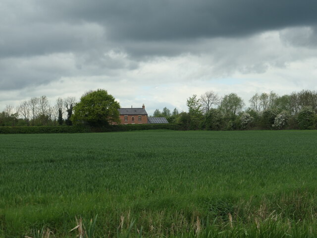
Birdcage Wood is a captivating woodland area located in Derbyshire, England. Spread across a sprawling expanse, it covers approximately 100 acres of land. The woodland is situated on the outskirts of the picturesque village of Derbyshire, surrounded by idyllic countryside scenery.

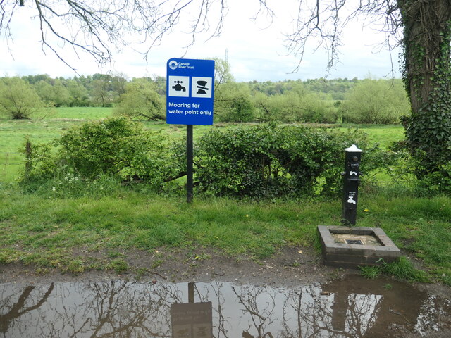
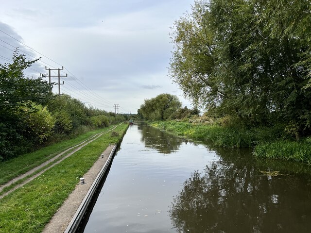
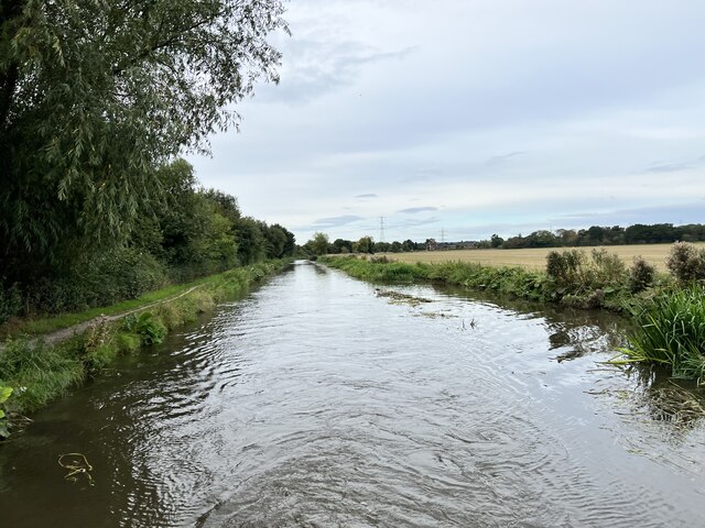
Birdcage Wood is renowned for its rich biodiversity and stunning natural beauty. It boasts a diverse range of plant and animal species, making it a haven for nature enthusiasts and wildlife photographers. The dense forest is predominantly composed of native British trees, such as oak, beech, and birch, which provide a lush canopy and shelter for the various inhabitants.

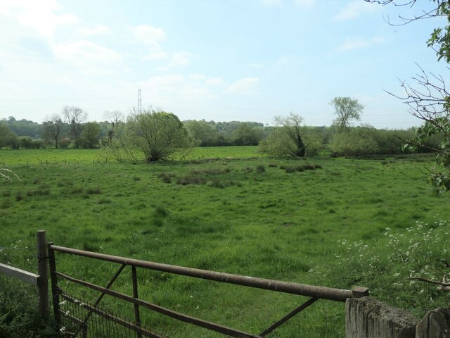
The woodland features numerous well-maintained walking trails, allowing visitors to explore its enchanting ambiance. These trails wind through the ancient trees, providing a serene environment for leisurely strolls and birdwatching. The melodious songs of resident birds, including thrushes, woodpeckers, and warblers, fill the air, creating a tranquil symphony.

Birdcage Wood is also home to a vibrant array of wildlife. Visitors may encounter a range of creatures, such as deer, foxes, badgers, and squirrels, as they venture deeper into the forest. The natural habitat supports a diverse ecosystem, fostering a delicate balance between predator and prey.

The wood is open to the public year-round, with a small entrance fee that helps fund its conservation efforts. It also offers educational programs and workshops, allowing visitors to learn more about the local flora and fauna. Birdcage Wood truly offers a captivating and immersive experience, showcasing the best of Derbyshire's natural wonders.

If you have any feedback on the listing, please let us know in the comments section below.

Birdcage Wood Images

Images are sourced within 2km of 52.856096/-1.3775916 or Grid Reference SK4228. Thanks to Geograph Open Source API. All images are credited.
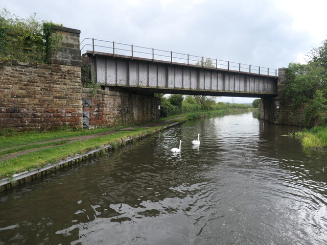
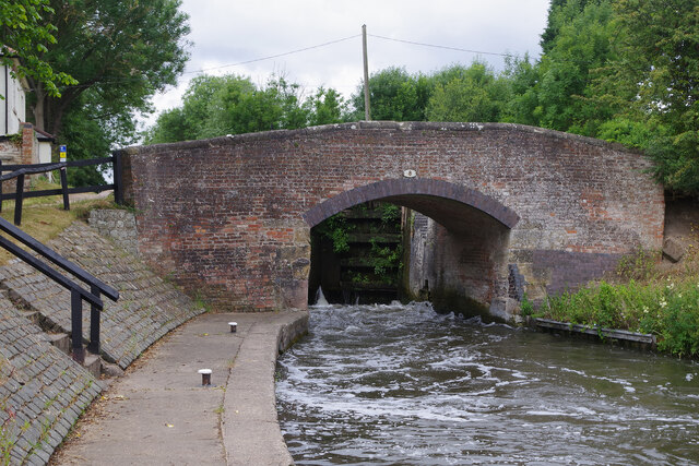
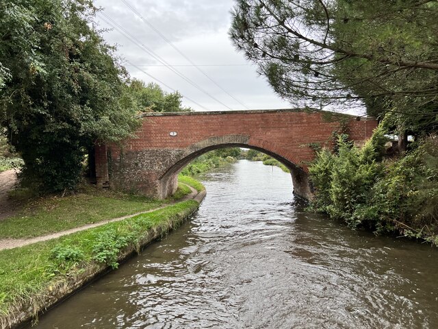
Water point, Weston Lock, Trent & Mersey canal Where you can fill a boat's water tank.
Water point, Weston Lock, Trent & Mersey canal
Where you can fill a boat's water tank.
Trees on a former field boundary On the north bank of the Trent & Mersey canal, just east of Weston-on-Trent.
Trees on a former field boundary
On the north bank of the Trent & Mersey canal, just east of Weston-on-Trent.
Willow on the bank of the Trent & Mersey canal Not yet a hazard to boaters.
Willow on the bank of the Trent & Mersey canal
Not yet a hazard to boaters.
Bridge 7B, Trent & Mersey canal A railway bridge, east of Weston-on-Trent.
Bridge 7B, Trent & Mersey canal
A railway bridge, east of Weston-on-Trent.
Cow Pasture Bridge [no 7], from the east Carrying a bridleway over the Trent & Mersey canal.
Cow Pasture Bridge [no 7], from the east
Carrying a bridleway over the Trent & Mersey canal.
Weston Grange On the canal bank, east of Weston-on-Trent.  This may be the site of a medieval grange of Chester Abbey. The house is at the south corner of a farmyard, which it was separated from in 1980.
Weston Grange
On the canal bank, east of Weston-on-Trent. This may be the site of a medieval grange of Chester Abbey. The house is at the south corner of a farmyard, which it was separated from in 1980.
Birdcage Wood, from the south A small triangular wood on the boundary between Weston-on-Trent and Aston-on-Trent civil parishes.
Birdcage Wood, from the south
A small triangular wood on the boundary between Weston-on-Trent and Aston-on-Trent civil parishes.
Dark clouds over Moorland House Not generating much energy on the panels at the moment.
Dark clouds over Moorland House
Not generating much energy on the panels at the moment.
Sheepfield, off Kings Mill Lane At the eastern edge of Weston-on-Trent.
Sheepfield, off Kings Mill Lane
At the eastern edge of Weston-on-Trent.
Willows along a drain, west of King's Mills Lane The flat and floodable floor of the Trent valley.
Willows along a drain, west of King's Mills Lane
The flat and floodable floor of the Trent valley.
Weston Lock The locks at the eastern end of the Trent & Mersey Canal are all broad, allowing widebeam vessels to travel up to Burton on Trent. Most of them are deep - in this case with a fall of 10ft 11in - making them slow to fill and empty with stiff paddles and heavy gates; they therefore tend to be unpopular with boaters. Here the lock is being emptied causing a lot of turbulence by the lock landing.
Weston Lock
The locks at the eastern end of the Trent & Mersey Canal are all broad, allowing widebeam vessels to travel up to Burton on Trent. Most of them are deep - in this case with a fall of 10ft 11in - making them slow to fill and empty with stiff paddles and heavy gates; they therefore tend to be unpopular with boaters. Here the lock is being emptied causing a lot of turbulence by the lock landing.
Hicken's Bridge The A50 bridge over the Trent and Mersey Canal.
Hicken's Bridge
The A50 bridge over the Trent and Mersey Canal.
The Trent and Mersey Canal Near Shardlow
The Trent and Mersey Canal
Near Shardlow
The Trent and Mersey Canal Looking towards Aston-on-Trent.
The Trent and Mersey Canal
Looking towards Aston-on-Trent.
The Trent and Mersey Canal Looking towards Aston-on-Trent.
The Trent and Mersey Canal
Looking towards Aston-on-Trent.
Bridge 7 on the Trent and Mersey Canal Near Weston Grange.
Bridge 7 on the Trent and Mersey Canal
Near Weston Grange.
Weston Grange From the Trent and Mersey Canal.
Weston Grange
From the Trent and Mersey Canal.
Weston Road, Aston-on-Trent Aston-on-Trent has a population of about 1,700 (2011 census) making it slightly larger than its neighbour Weston-on-Trent. It is not particularly close to the River Trent, having been established away from the flood plain. In this Sunday lunchtime view traffic cones were in place in connection with the village well-dressing festival which was taking place over the weekend. Wandering around, several of the locals could be heard complaining of a sore head, so it sounds as though a good time was had by all the previous evening.
Weston Road, Aston-on-Trent
Aston-on-Trent has a population of about 1,700 (2011 census) making it slightly larger than its neighbour Weston-on-Trent. It is not particularly close to the River Trent, having been established away from the flood plain. In this Sunday lunchtime view traffic cones were in place in connection with the village well-dressing festival which was taking place over the weekend. Wandering around, several of the locals could be heard complaining of a sore head, so it sounds as though a good time was had by all the previous evening.
Show me another place!

Birdcage Wood is located at Grid Ref: SK4228 (Lat: 52.856096, Lng: -1.3775916)

Administrative County: Derbyshire

District: South Derbyshire

Police Authority: Derbyshire

What 3 Words

///fumes.good.undivided. Near Aston-on-Trent, Derbyshire

Nearby Locations

Birdcage Wood

Related Wikis

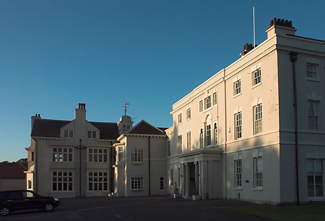
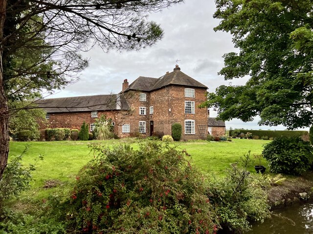
Aston Hall, Aston-on-Trent

Aston Hall is an 18th-century country house, now converted to residential apartments, at Aston-on-Trent, Derbyshire. It is a Grade II* listed building...
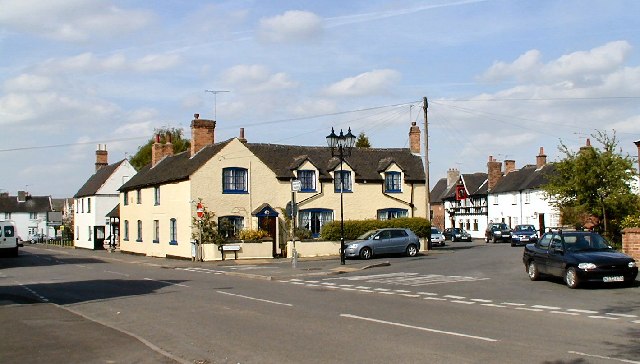
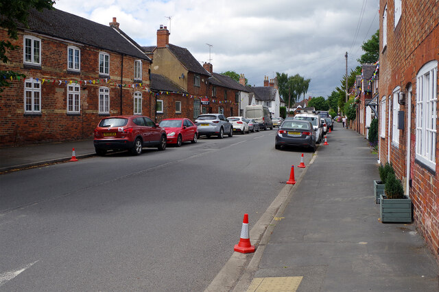
Aston-on-Trent

Aston-on-Trent is a village and civil parish in the South Derbyshire district, in the county of Derbyshire, England. The parish had a population of 1,682...

Hanson Log Boat

The Hanson Log Boat was a Bronze Age dugout boat found in a gravel pit in Shardlow in Derbyshire. The log boat is now in Derby Museum and Art Gallery....

All Saints' Church, Aston-upon-Trent

All Saints’ Church, Aston upon Trent is a Grade I listed parish church in the Church of England in Aston-on-Trent, Derbyshire. == History == The church...

Derby South services

The Derby South services are two service stations run by Welcome Break on either side of the A50 road. The services are located in South Derbyshire, near...

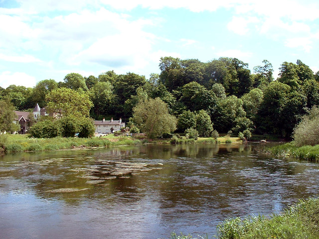
King's Mill, Castle Donington

King's Mill is the traditional crossing point of the River Trent between Castle Donington in Leicestershire and Weston-on-Trent in Derbyshire. The Mill...

Castle Donington Power Station

Castle Donington Power Station was a coal-fired power station situated on the River Trent near Castle Donington, Leicestershire, 5 miles (8.0 km) south...

Weston-on-Trent

Weston-on-Trent is a village and civil parish in the South Derbyshire district of Derbyshire. The population of the civil parish at the 2011 census was...

Nearby Amenities

Located within 500m of 52.856096,-1.3775916
Aston Lock
Seamark Type: gate
Waterway: lock_gate
Lat/Long: 52.8582173/-1.3710452
Power: pole
Source: Bing
Lat/Long: 52.8566767/-1.3722395
Power: pole
Source: Bing
Lat/Long: 52.8575336/-1.3713742
Leisure: pitch
Sport: cricket
Lat/Long: 52.8601081/-1.3802178
Barrier: stile
Lat/Long: 52.8593233/-1.3809797
Location Transition: yes
Power: pole
Lat/Long: 52.8558585/-1.3729839
Location Transition: yes
Power: pole
Lat/Long: 52.8559071/-1.3730899
Defibrillator
Access: yes
Defibrillator Location: outside Aston Recreation Centre - facing car park
Emergency: defibrillator
Indoor: no
Ref GB The Circuit: 224023F7-6562-407C-B74D-ADDD00F1E412
Lat/Long: 52.8594967/-1.3802384
Waste Basket
Colour: blue
Material: plastic
Operator: South Derbyshire District Council
Waste: trash
Lat/Long: 52.8593955/-1.3810343
Waste Basket
Colour: red
Operator: South Derbyshire District Council
Waste: dog_excrement
Lat/Long: 52.8593484/-1.3808564
The data included in this document is from www.openstreetmap.org. The data is made available under ODbL.

Have you been to Birdcage Wood?

Leave your review of Birdcage Wood below (or comments, questions and feedback).