Bat Bridge Wood
Wood, Forest in Yorkshire Harrogate
England
Bat Bridge Wood
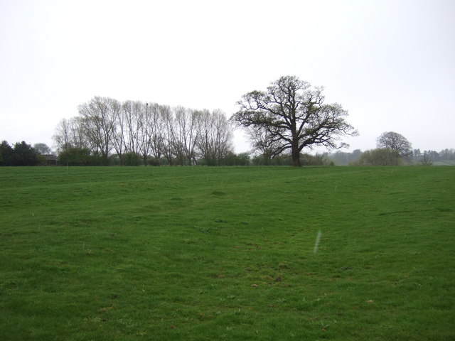
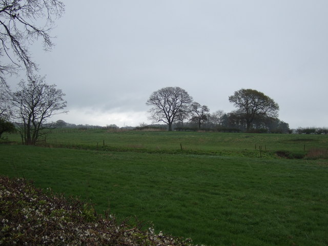
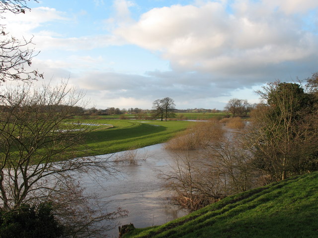
Bat Bridge Wood is a captivating forest located in the picturesque county of Yorkshire, England. This enchanting woodland covers an area of approximately 100 acres and is known for its diverse range of flora and fauna. It is nestled on the outskirts of a small village, surrounded by rolling hills and meandering streams, creating a tranquil and serene atmosphere.
The wood derives its name from a peculiar stone bridge that spans across a small brook, resembling the shape of a bat's wings. The bridge, believed to date back to the 18th century, adds a touch of mystique and historical charm to the area. It has become an iconic landmark and a popular spot for nature enthusiasts and photographers.
Bat Bridge Wood boasts a rich variety of trees, including oak, ash, beech, and birch, which provide a lush green canopy during the summer months and create a dazzling display of autumn colors in the fall. The forest floor is covered with a carpet of wildflowers, such as bluebells and primroses, adding bursts of vibrant hues to the landscape.
The wood is home to an array of wildlife, making it a haven for nature lovers. Visitors may spot deer, foxes, badgers, and a wide range of bird species, including owls, woodpeckers, and songbirds. The tranquil streams also attract a variety of aquatic life, including frogs, newts, and small fish.
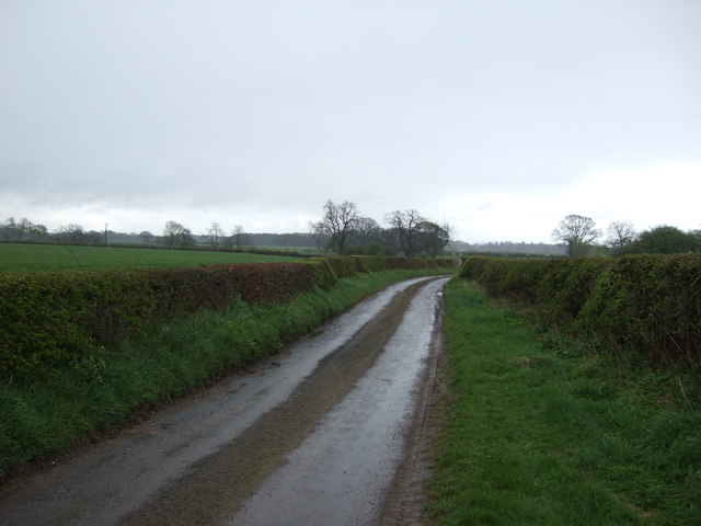
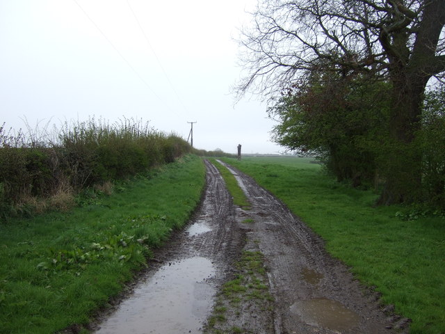
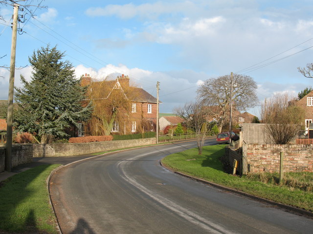
Visitors to Bat Bridge Wood can explore its winding footpaths and discover hidden nooks and crannies, perfect for a peaceful stroll or a picnic amidst nature's beauty. The wood is also a popular destination for birdwatchers, photographers, and those seeking a peaceful escape from the hustle and bustle of everyday life.
If you have any feedback on the listing, please let us know in the comments section below.
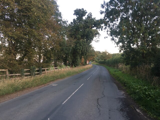
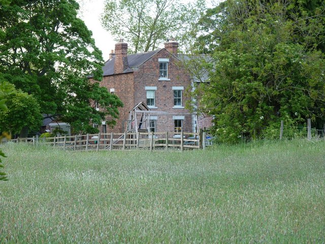
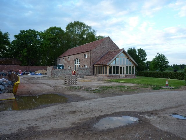
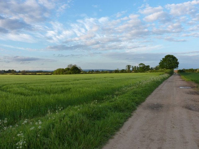
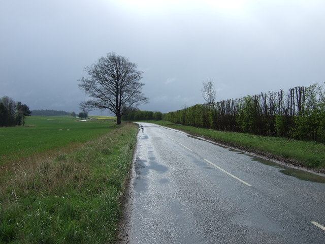
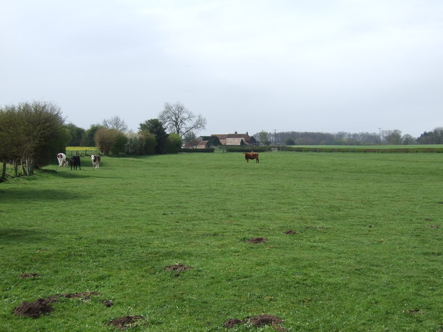
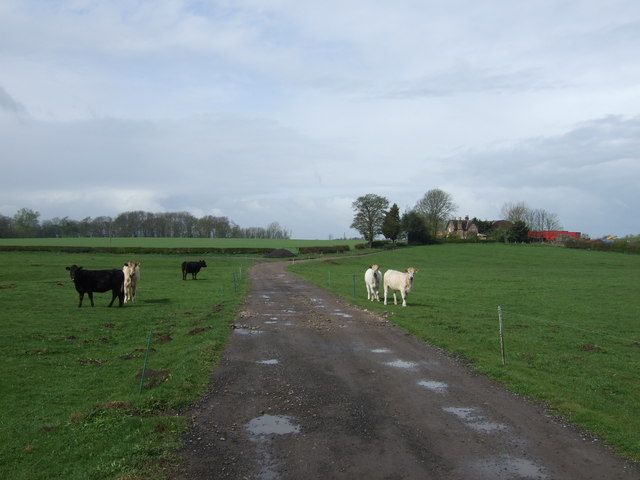
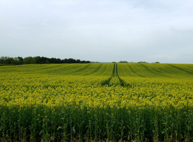
Bat Bridge Wood Images
Images are sourced within 2km of 54.145497/-1.35879 or Grid Reference SE4172. Thanks to Geograph Open Source API. All images are credited.


Bat Bridge Wood is located at Grid Ref: SE4172 (Lat: 54.145497, Lng: -1.35879)
Division: North Riding
Administrative County: North Yorkshire
District: Harrogate
Police Authority: North Yorkshire
What 3 Words
///rebounder.firmer.lavished. Near Boroughbridge, North Yorkshire
Nearby Locations
Related Wikis

Cundall, North Yorkshire
Cundall is a village in the Harrogate district of North Yorkshire, England. It is one of the Thankful Villages that suffered no fatalities during World...

Thornton Bridge
Thornton Bridge is a civil parish in North Yorkshire, England, situated between Boroughbridge to the south-west, and Thirsk to the north-east. The parish...

Eldmire with Crakehill
Eldmire with Crakehill is a civil parish in the Hambleton district of North Yorkshire, England. The population of the parish was estimated at 30 in 2013...
Fawdington
Fawdington is a hamlet and civil parish in the Hambleton district of North Yorkshire, England. It is on the River Swale and near the A1(M) motorway, 8...
Norton-le-Clay
Norton-le-Clay is a village and civil parish in the Harrogate district of North Yorkshire, England. It is situated near the A1(M) motorway and 2 miles...
Cod Beck, North Yorkshire
Cod Beck is a river in North Yorkshire, England. It has a catchment area of 209 km2 (81 sq mi). The river extends for 20 miles (32 km) from above Cod Beck...

Brafferton railway station
Brafferton railway station served Brafferton, North Yorkshire, England, from 1847 to 1964 on the Pilmoor, Boroughbridge and Knaresborough Railway. ��2...

Topcliffe Castle
Topcliffe Castle (also known as Maiden's Bower) is an abandoned castle located near the village of Topcliffe, North Yorkshire, England.The castle was built...
Nearby Amenities
Located within 500m of 54.145497,-1.35879Have you been to Bat Bridge Wood?
Leave your review of Bat Bridge Wood below (or comments, questions and feedback).