Dorrington
Settlement in Lincolnshire North Kesteven
England
Dorrington

The requested URL returned error: 429 Too Many Requests
If you have any feedback on the listing, please let us know in the comments section below.
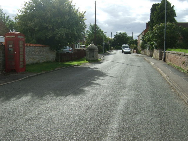
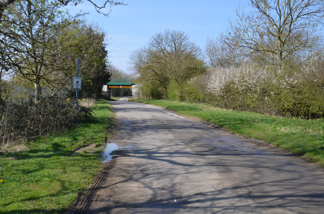
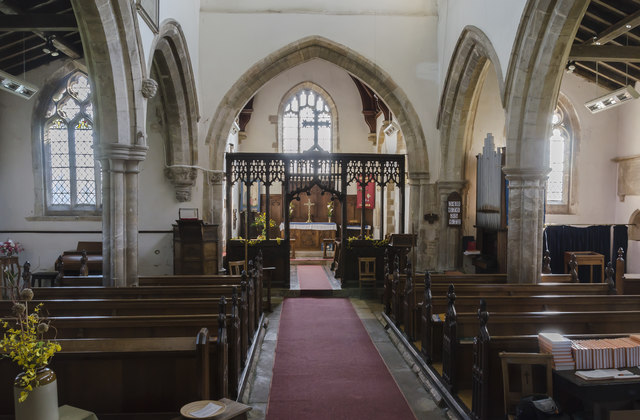
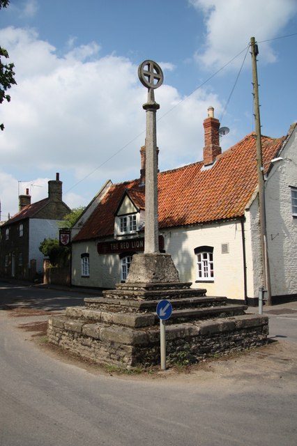
Dorrington Images
Images are sourced within 2km of 53.06255/-0.38653783 or Grid Reference TF0852. Thanks to Geograph Open Source API. All images are credited.


Dorrington is located at Grid Ref: TF0852 (Lat: 53.06255, Lng: -0.38653783)
Division: Parts of Kesteven
Administrative County: Lincolnshire
District: North Kesteven
Police Authority: Lincolnshire
What 3 Words
///caller.branch.buildings. Near Ruskington, Lincolnshire
Nearby Locations
Related Wikis

Dorrington, Lincolnshire
Dorrington is a village and civil parish in the North Kesteven district of Lincolnshire, England. It is situated 1.2 miles (2 km) both south from Digby...

North Ings Farm Museum
The North Ings Farm Museum is a working farm museum containing a 2 ft (610 mm) narrow gauge railway, running on a circuit of 1⁄4 mile (0.40 km). It is...
Digby, Lincolnshire
Digby is a small village and civil parish in the district of North Kesteven, Lincolnshire, England. The village is in the vale of the Digby Beck watercourse...

Bloxholm
Bloxholm is a hamlet, and part of the civil parish of Ashby de la Launde and Bloxholm, in the North Kesteven district of Lincolnshire, England. It is situated...
Nearby Amenities
Located within 500m of 53.06255,-0.38653783Have you been to Dorrington?
Leave your review of Dorrington below (or comments, questions and feedback).